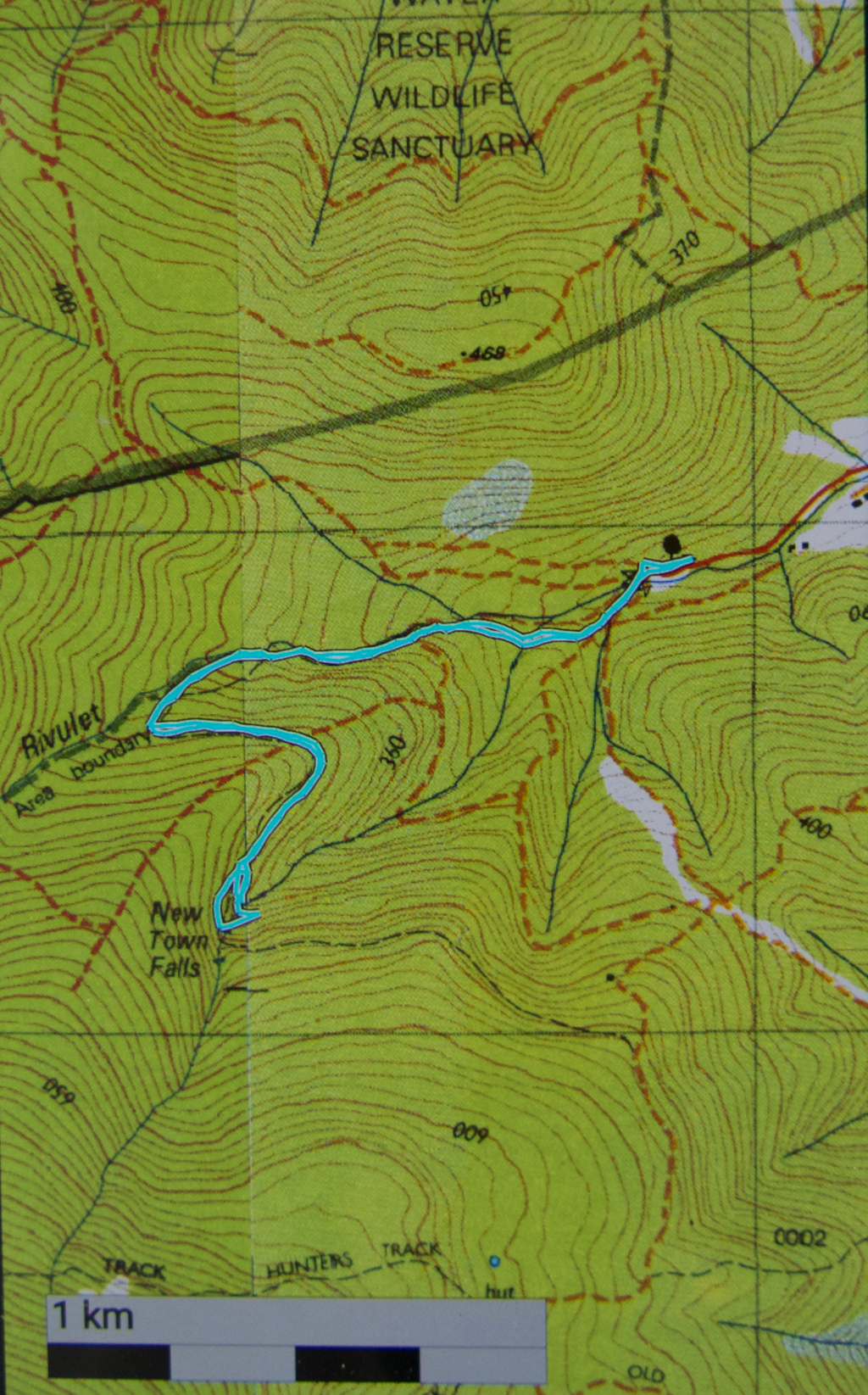
New Town Falls April 2017
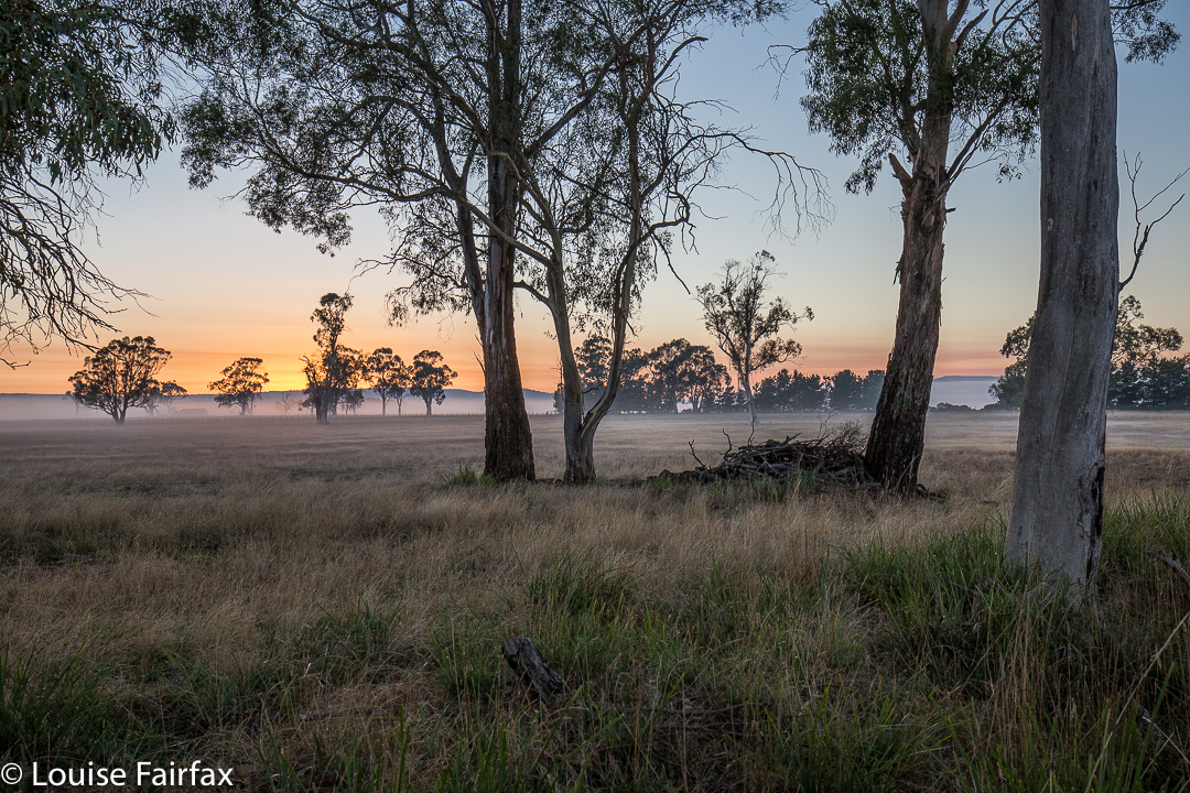
Sunrise near Campbell Town.
I have obviously been romanticising about the amount of rain Hobart has had of late. I thought there’d been enough to give the New Town Falls a bit of a flow, and as I had other business to do in that fine city today, I decided to balance the boring act of driving with a beautiful walk to a falls.
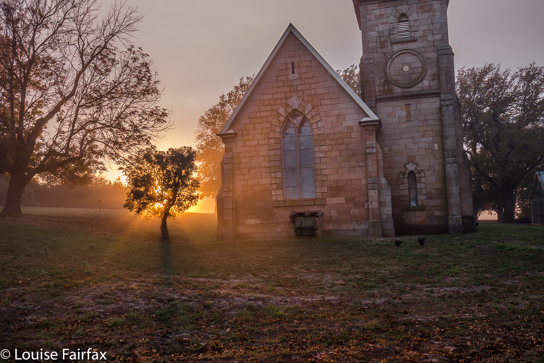
Well, the drive was not boring in the slightest and thus needed no counterweight (we had the most spectacular sunrise with misty effects near Campbell Town), and we did get a beautiful walk to the falls. The only negative aspect of the jaunt was that the falls were not falling. In fact, so dry were they that I didn’t even take one single photo of the matt cliffs that were now exposed, looking all dull waiting for rain. Anyway, we now know what the trail is like (see directions below), so are well informed for our next, hopefully wetter, attack. And meanwhile, our dog claims to have bagged yet another waterfall. She’s building quite a collection, and finds waterfall bagging to be a terrific sport.
Route: We followed the Lenah Valley road to its terminus, and began walking on the “road” over the creek there (New Town Rivulet) and up the hill on the Lenah Valley Fire Trail, of firetruck width (as is appropriate for such a trail). Ten minutes after beginning, there was a much narrower Lenah Valley Trail – of single human width and going steep uphill – that hived off to the right of this main wide trail. There was a chain handrail, and some steps after a few metres. This narrow walking path continued to follow the same rivulet that the wider track had been pursuing. This stream is not the one that the falls are on.
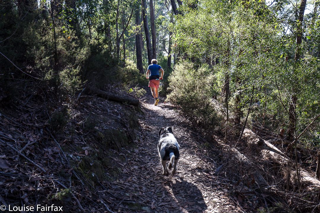
My husband, hurrying to get out of the road for my photo – but I wanted him just there, right where he was in that patch of light.
After ten minutes on this pleasant, mossy path, there was a Y-fork: the right branch, not the one wanted, continued up the hill on a trail that now sported the name “Old Hobartians Track”. Ours was the left hand turn, leading to New Town Falls, and also to Junction Cabin should one decide to go further. This continuation of the Lenah Valley Trail takes you around the nose of the spur to your left, and then delivers you to your waterfall. This section is mostly on contour. After a total of thirty minutes since leaving the car, we were looking at our empty falls.
Just before the falls are reached, the track branches into two, with neither offshoot being signed. The left (lower) one leads, predictably, to the lower falls, and the right to the upper. If you go to the upper first, you can cross the creek and then take a tiny path downhill to the lower. Cross again and climb back up on the path to where you first met the fork. This little circuit took us six minutes. We were not delayed by photography, sadly. It was then twenty three minutes back to the car. We were thus back in around an hour. Do remember that these times are walking only. Under normal conditions, add in time for photos and, if you’re lucky, for fungi spotting. Our walking times were half the recommended. We were not racing, and my husband has had Parkinson’s disease for fifteen years, so is no speedster. That said, he is remarkably fit still for a man with his terrible illness (or for any ‘average’ man, for that matter). Also, I am not sure that the circuit described would be possible when the creek is in full flow. Two people we met near the car said that in the depths of the wet season, it isn’t even possible to cross the New Town Rivulet where the cars are. They suggested phoning Hobart council to see if the stream is crossable before setting out if there’s been a lot of rain.
Total walk for the round trip, according to my gps, was 4.5 kms, with 238 ms climb, yielding 6.9 km equivalents.

