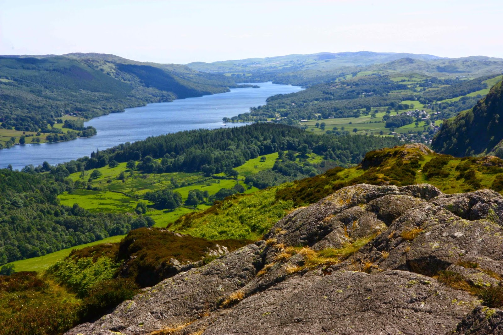
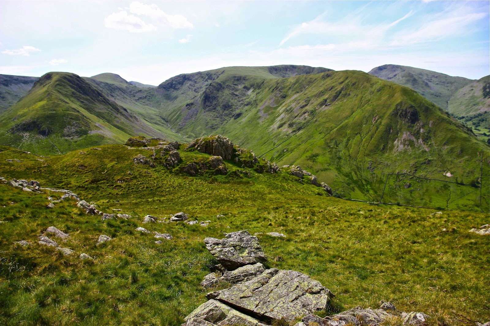
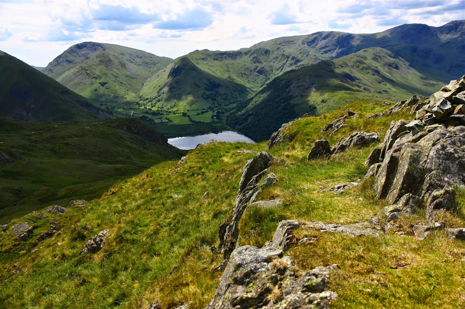
ENGLAND Lake District 2012

England, Lake District 2012.

Whinn Rigg
In 2012, by the end of a two weeks’ stay in the Lake District, we had bagged 87 Wainwrights (Fells). This section of our holiday was preparation for a larger segment that would take place on the continent, where I intended to walk from Lake Geneva down to Chamonix Mont Blanc and then across on the haute route to Zermatt. This was my husband’s crash course in getting fitter and stronger after working too hard and letting his health drop. In total, he took off six weeks. We also did the South West Coast Path and the Cotswold loop. (See URLs for these at end)

My husband has Parkinson’s disease. When the hospital gurus did a check on him at the end of all this holiday, they told him he was much healthier than he would have been after any course of medicines that they could prescribe, and that his general coordination and symptoms had taken a definite turn for the better.
Notice that I am now counting Wainwrights. I have now been bitten by the bug. I want to climb them all. 87 down, 127 to go. It’s fun.

Wastwater, near the Wasdale YHA where we were based for part of this venture.
One of the mot amazing fell runners of all time, Joss Naylor.

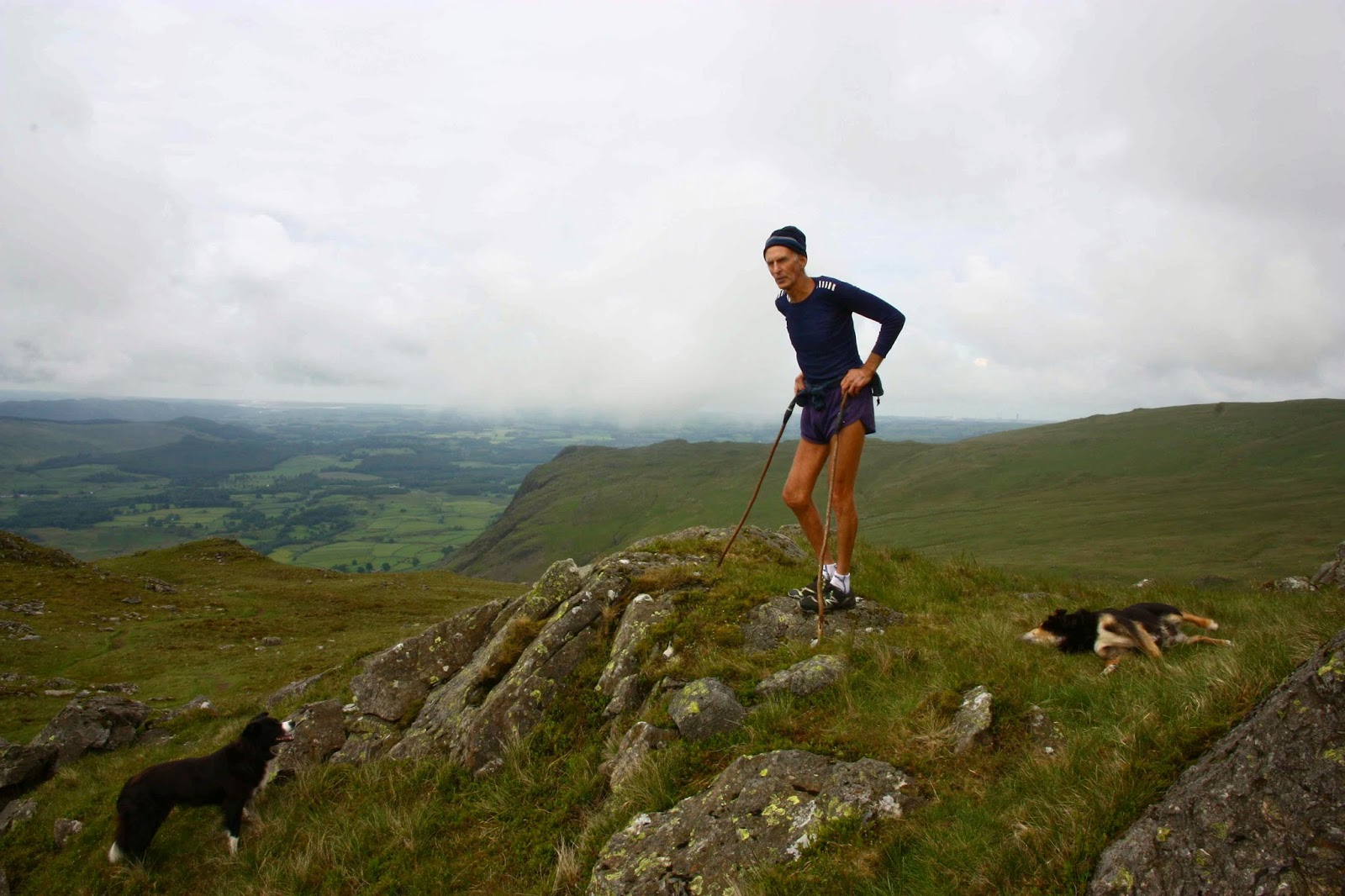
I was delighted to meet Joss Naylor, above, on the summit of Middle Fell – we had each run up from different directions. (He is aged 76 here, but ran like a young filly). We chatted and then we began our descent. I thought it quietly amusing that, although I have many top places in my past life in World meets, he didn’t expect me to keep up with him, but did me the courtesy, once he’d  noted that I was keeping pace, of chatting to me while we went.

Shot whilst climbing Yewbarrow, one of my favourites of all.
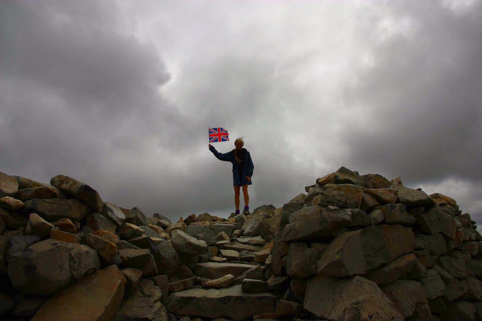
On top of Scafell Pike, that is, on top of England. This is my third time up this one. Yet to see the view.
Summitting Hartner Fell

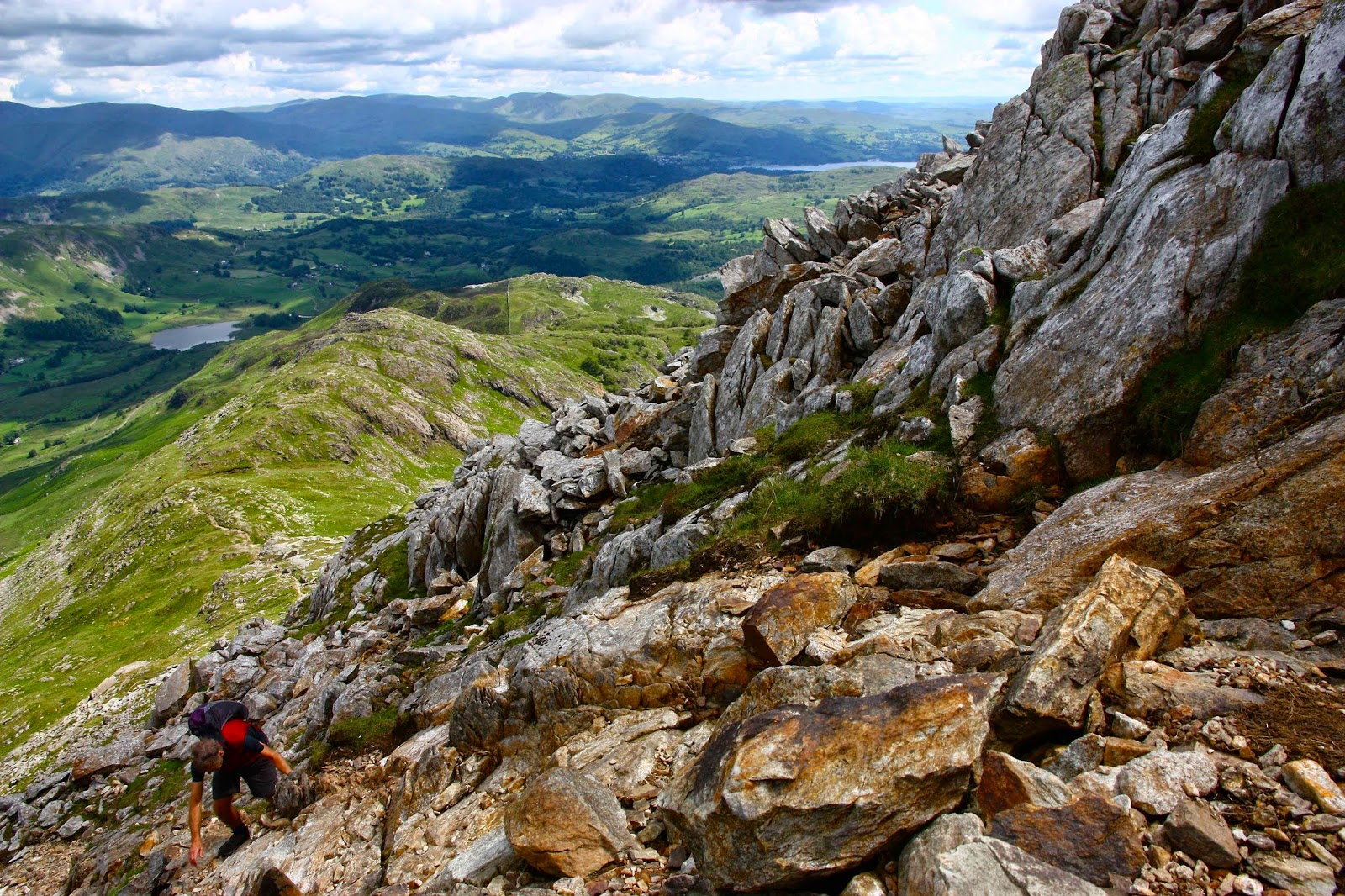
Climbing Crinkle Crags – just LOVE that name
Cold Pike in cold weather
Bruce climbing Weatherlam


Swirl How
From the summit of Holm Fell
Brock Crags, looking towards High Street
Angle Tarn Pikes


Macs Mountain and Walled 2014 Jan

Macs Mountain, Walled Mountain and more

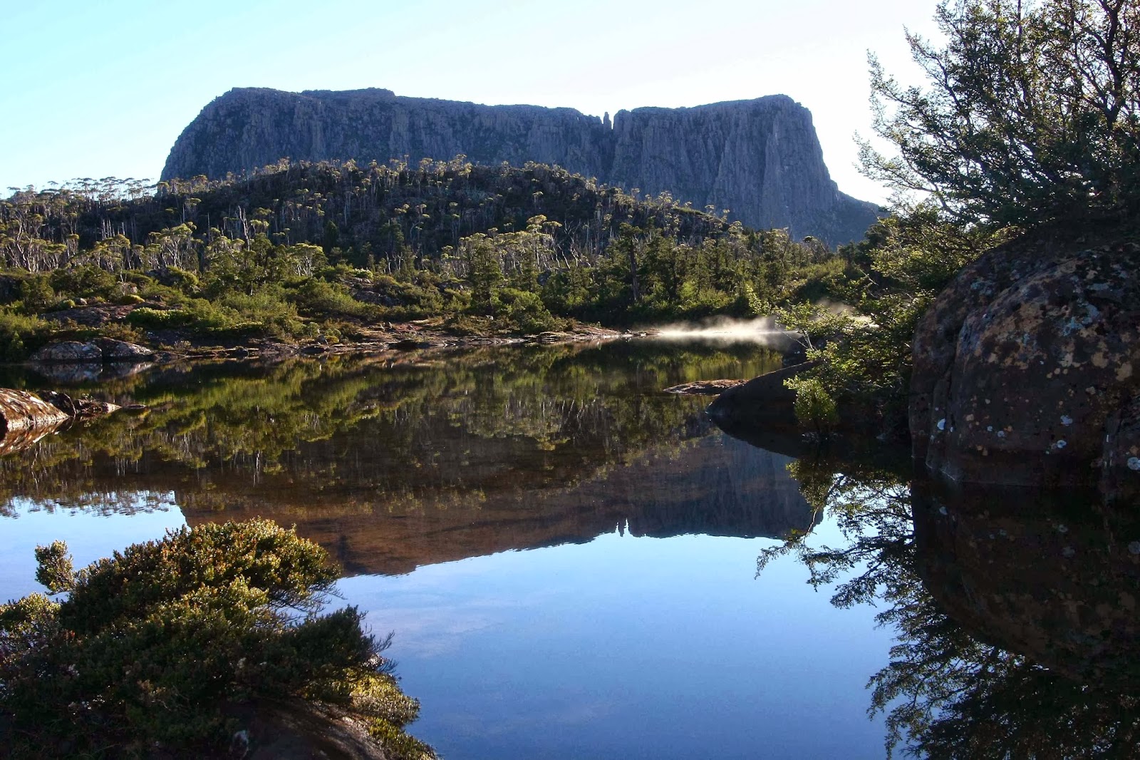
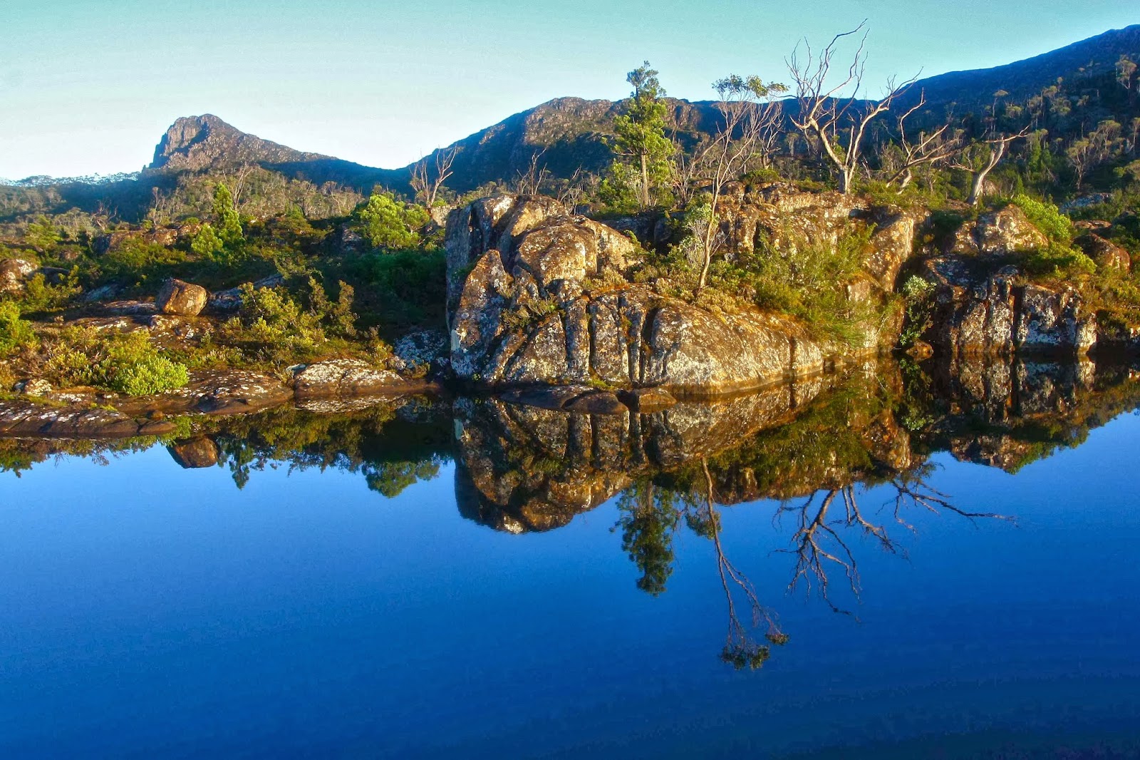
Mt Eros from Lake Elysia, dawn.

It might surprise many readers to hear that I gave up bushwalking on Saturday evening. The problem wasn’t that I’d been wet for two days – I’m used enough to that. And it wasn’t that I hate my little tent that gives me the freedom to sleep wherever I want in the wilderness, or that I was bored in its confines with my husband, cooped in there from 3pm after we’d given up ploughing through wet scrub in the rain. I’d brought a great book that he read aloud so we could share it (Max Frisch’s Blaubart / Bluebeard). No; I was frustrated by my own ineptitude that had landed us so often that day in cul de sacs of impenetrable scrub. I decided I was a lousy bushwoman, and incompetent leader – a race horse that should now be sent to the knackers. Time to drop out.


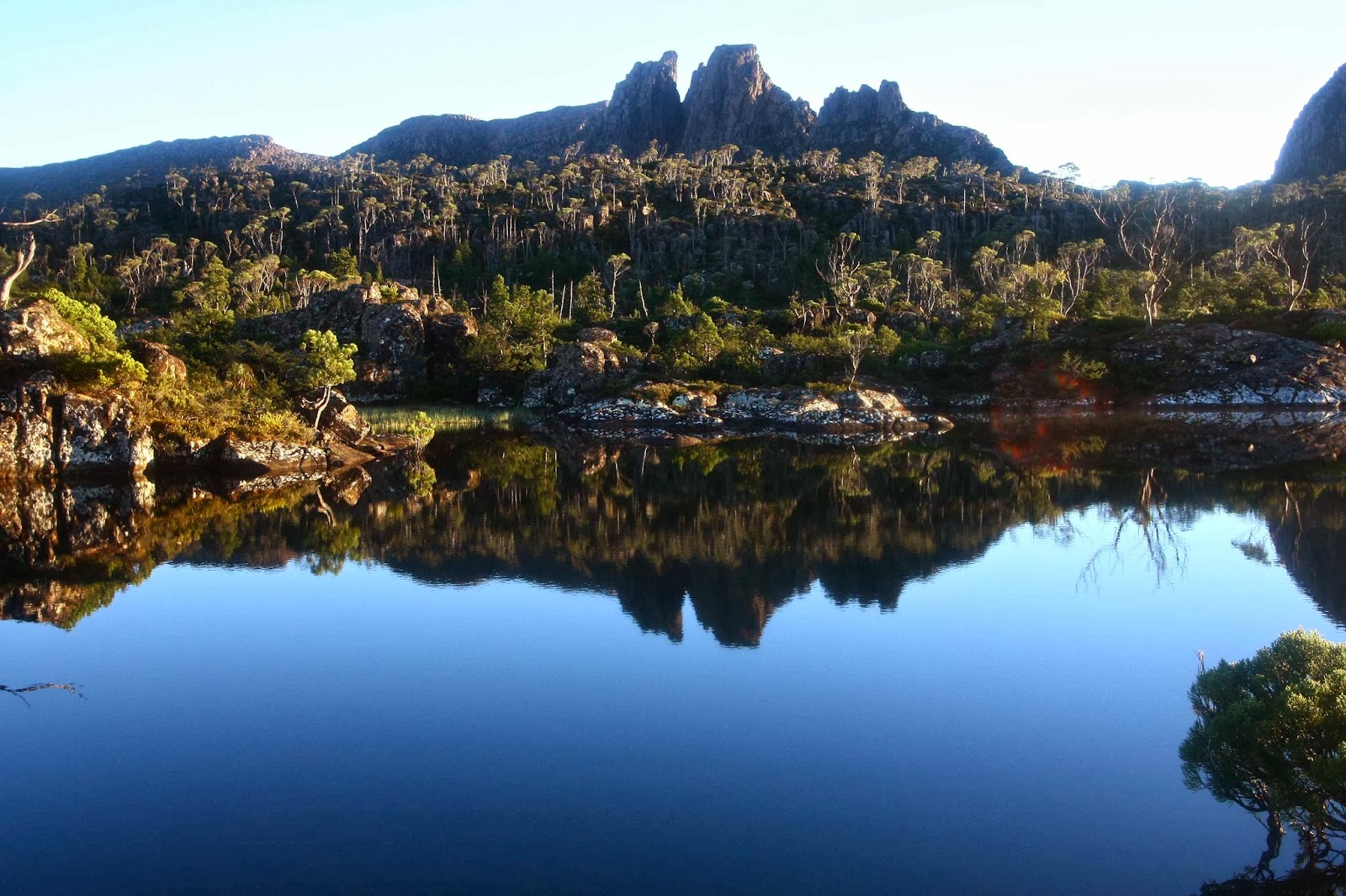
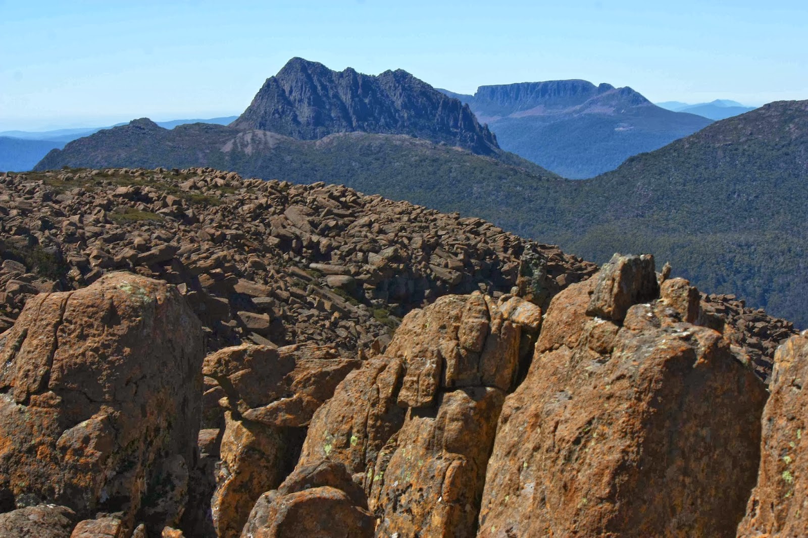
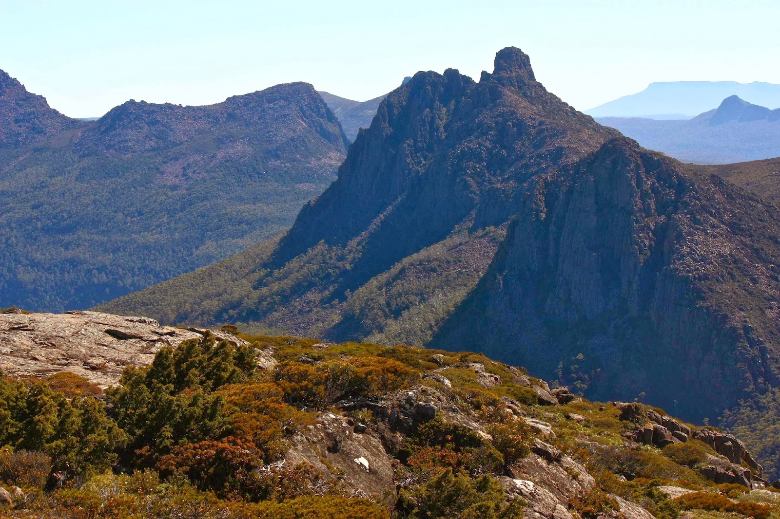
Mt Geryon and the Acropolis, dawn. (Labyrinth)
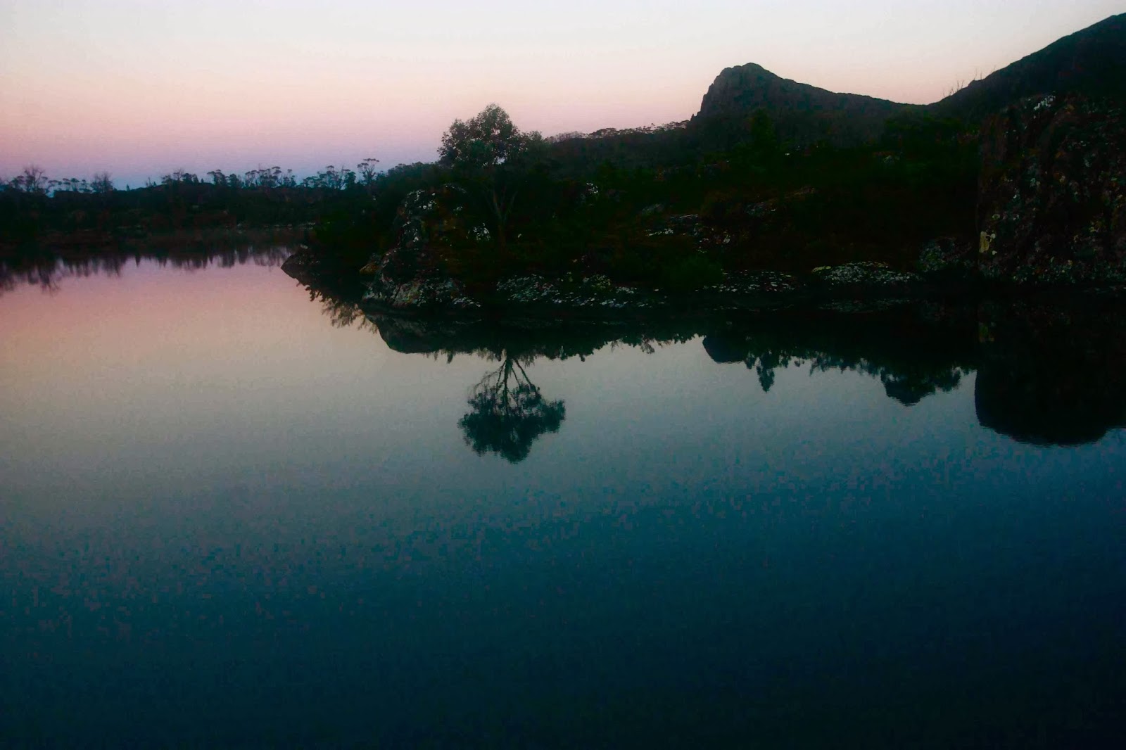
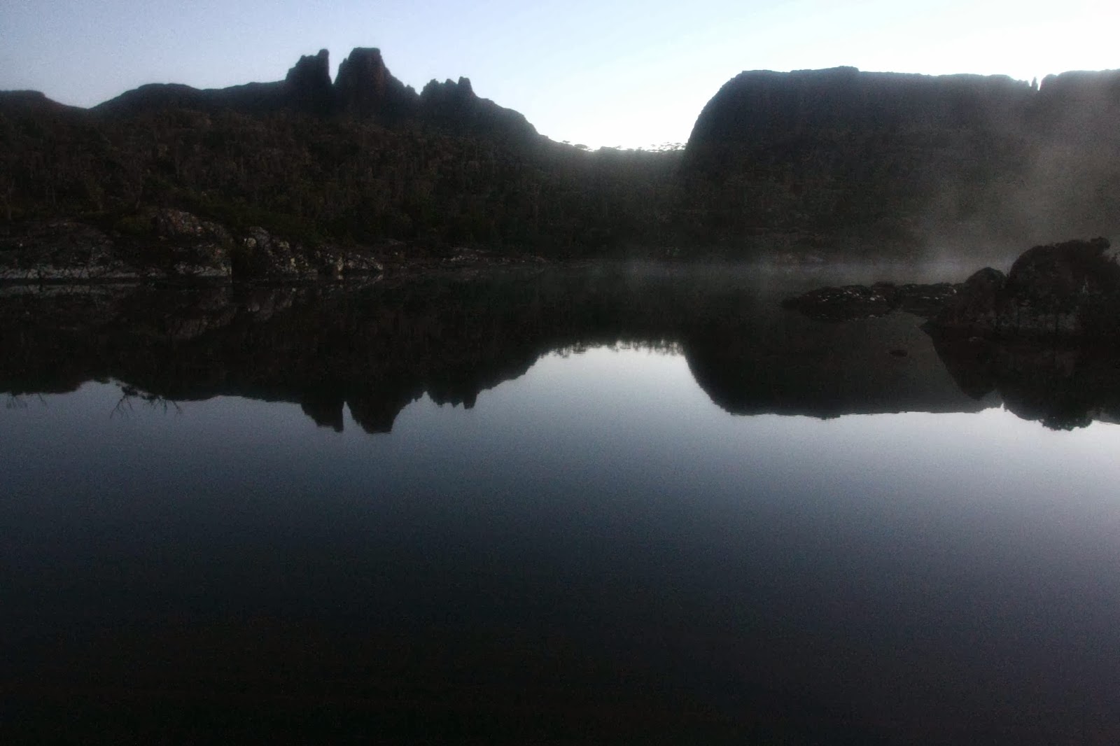
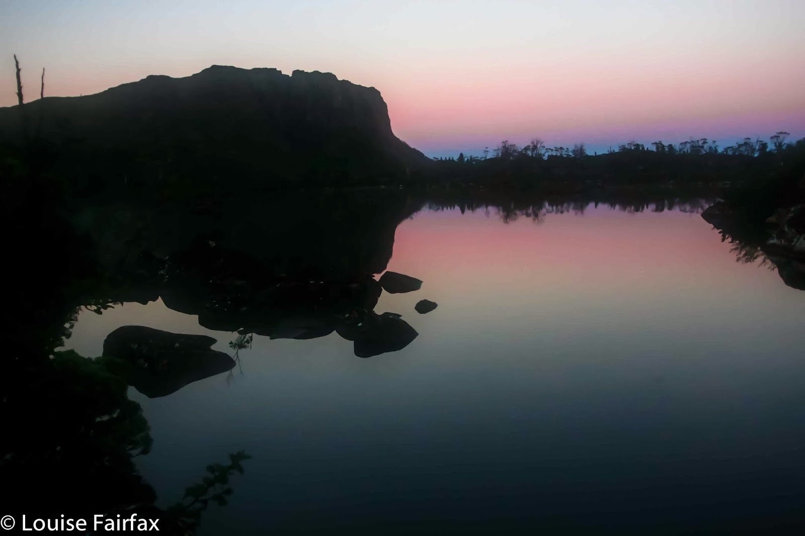
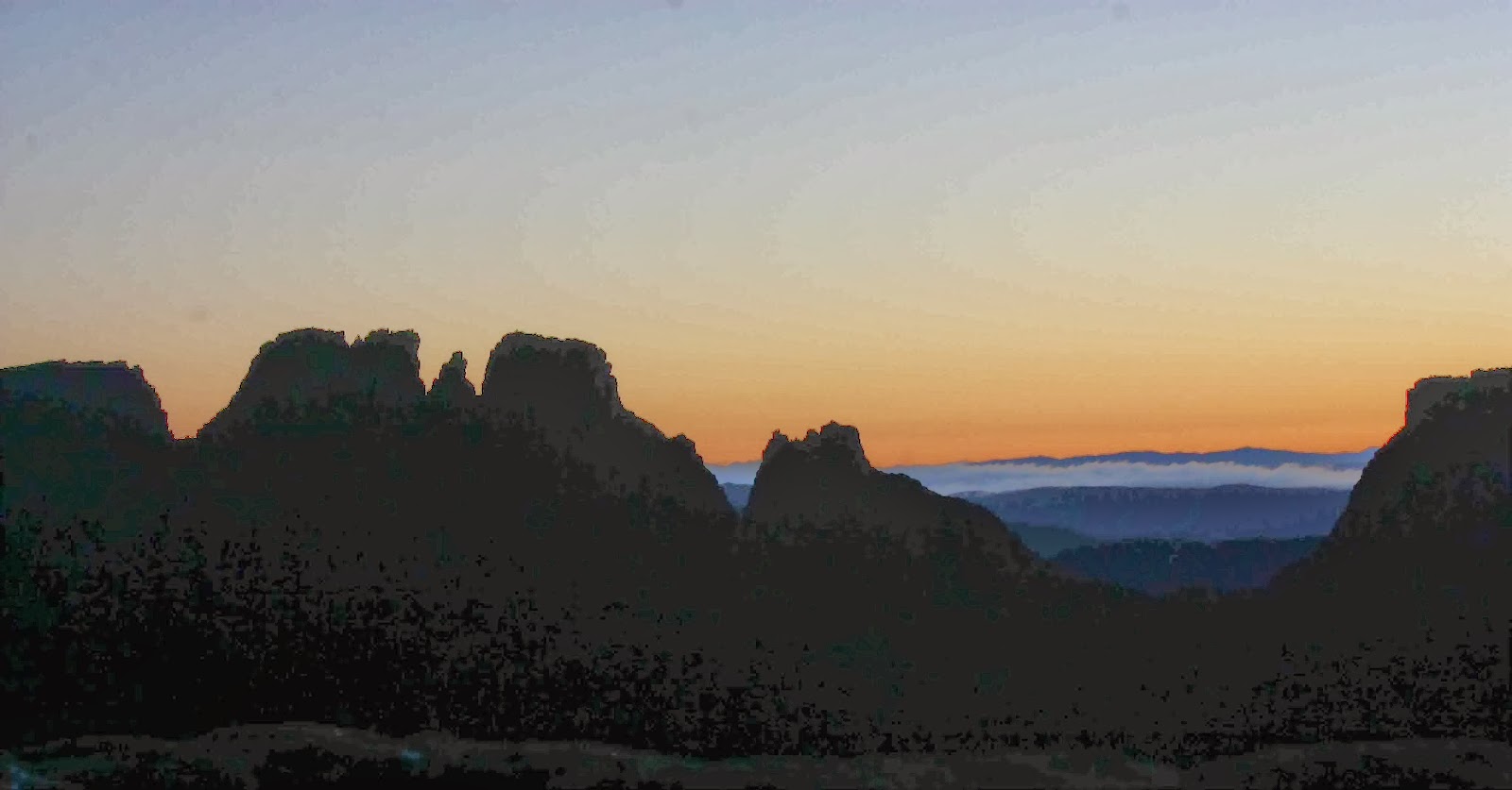
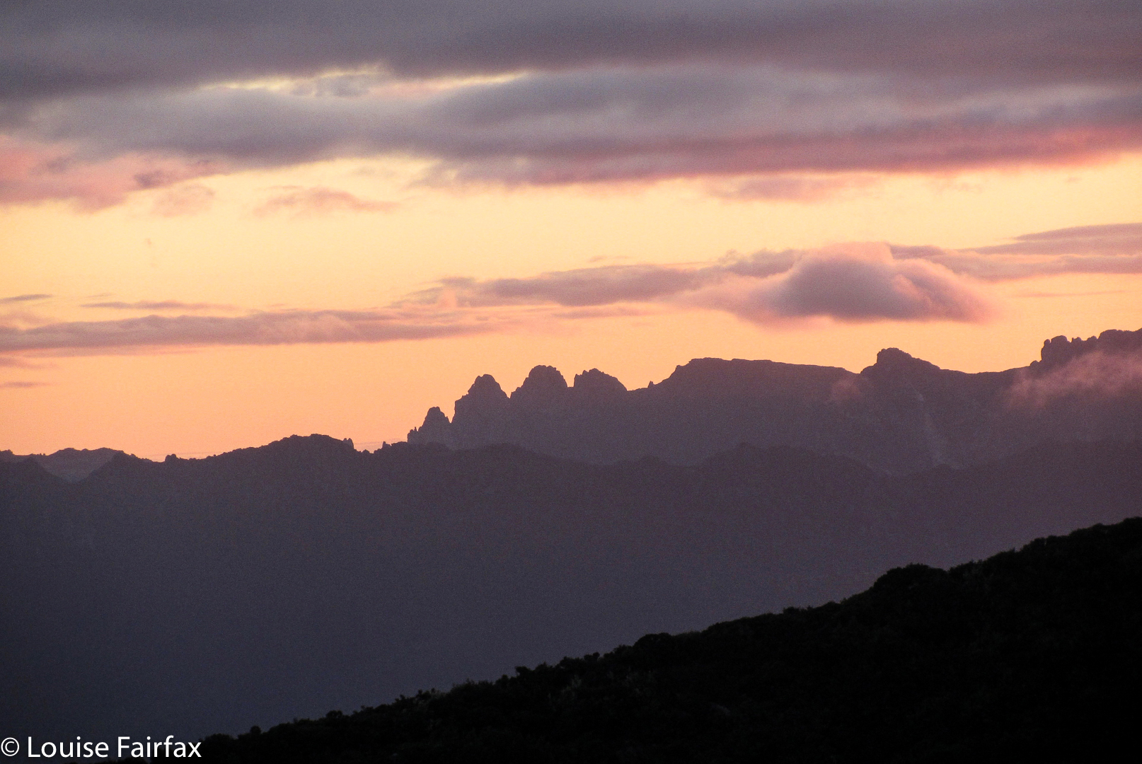
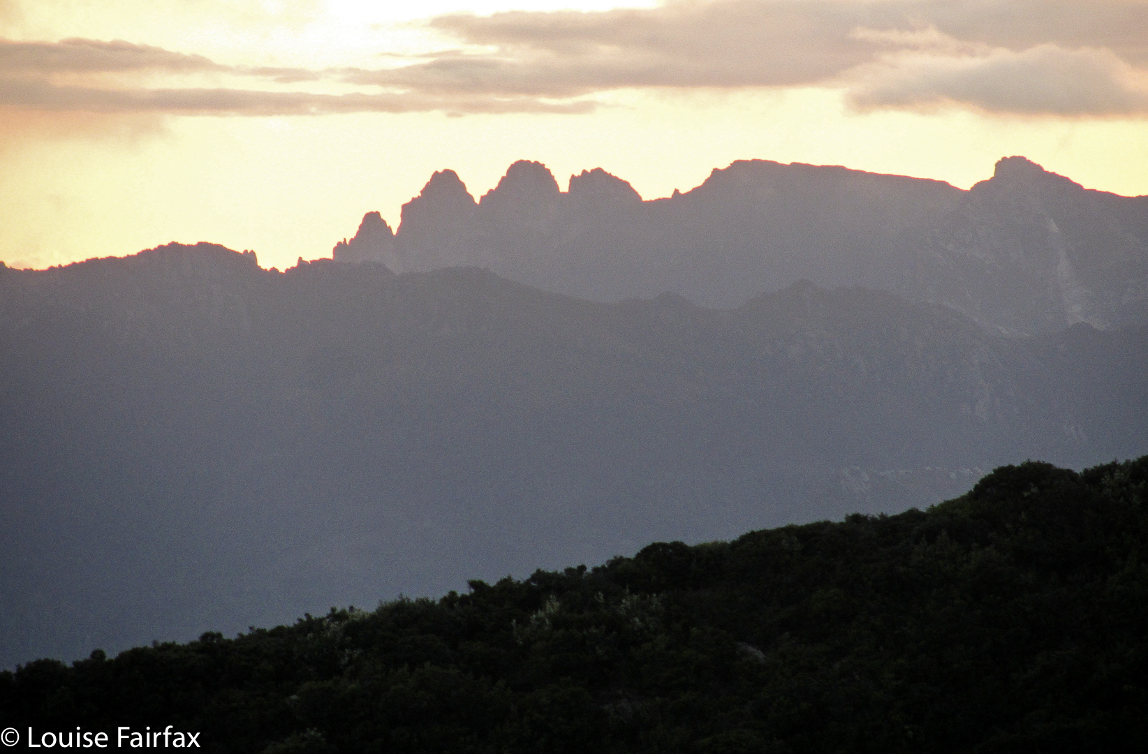
I took up bushwalking again at 5.30 next morning. My husband woke me and told me to hurry outside. I grumpily looked out of the flap, still too sleepy to be easily impressed. That quickly changed. The air was crisply, wonderfully clear. The tarn that poses as a lake (Elysia) beside our tent was a perfect mirror reflecting Geryon and the Acropolis to our north, each of which was a dark silhouette in a sky that was only just beginning to lighten. A soft layer of mist wove around the surface of the water. Who cares about one’s own ineptitude when greeted with a sight like that? We watched in wonder as the sky lightened to roseate hues, changing position every now and then to climb little hillocks or go out on a rocky lead that took us into the lake a bit so we could see around the corner to Walled Mountain which began to turn red as the sun gained in intensity.
 
Walled Mountain
We were hoping to meet friends and climb Macs Mountain with them this day, but it was so lovely where we were we were disinclined to move; we had no idea where our friends might be, given that their plans had also probably changed due to the previous day’s rain; and our tent was so sopping that packing it up before the sun had had time to dry it out a bit had no appeal. We lingered longer. I was also not looking forward to the scrub I had had to negotiate to get us where we were. Eventually we set out, and I made speedy, almost scrubless progress straight to our destination, covering in 11 minutes what it had taken us 26 minutes to do the day before. At last I could navigate again.
 
Acropolis
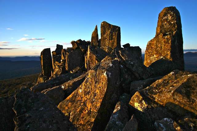
Mt Geryon

My husband, who has Parkinson’s disease, was in fine form. We made it with fully loaded packs from Lake Ophion to the summit of Walled Mountain in under an hour, and there on the top were our friends, who had spent the night at Lake Eurynome. At a tarn just a bit below the summit, we looked up and saw them arriving at the top and taking the obligatory summit group photo. We had not even held them up. Hoorah. We pitched our tents by a tarn near the summit (their tents were still sopping as they had set out before the sun had had a chance to dry them, so we all pitched before we left) and we were all ready soon enough to tackle Macs Mountain to the west, in blissful ignorance of what lay ahead.


Mt Eros and the Du Cane Range
On the map, Macs looks a lovely little scamper – dash over the smooth, contourless plateau behind the cliffs of Walled, over a tiny hump, through a bit of a saddle, and up the side of Macs. Fun. Ha, ha. The plateau section was as expected. The “bit of a hump” was a ridge line of dolerite lego pieces turned on their sides with spaces between that would kill if you missed when jumping from one to another. I was happy on such rocks, but knew my husband would be hesitant. I didn’t dare to even look, but he was fine, so I was greatly relieved. 
Then we came to a drop that was so sheer you couldn’t see beyond the plunge. I thought my husband had reached his turn-around point, but no, down he went, very early in the queue so that if he sent rocks flying, there would be minimal damage done below him. I chose the bushes to the side of the chute, and had fun on a steep slippery slide to the base.
 
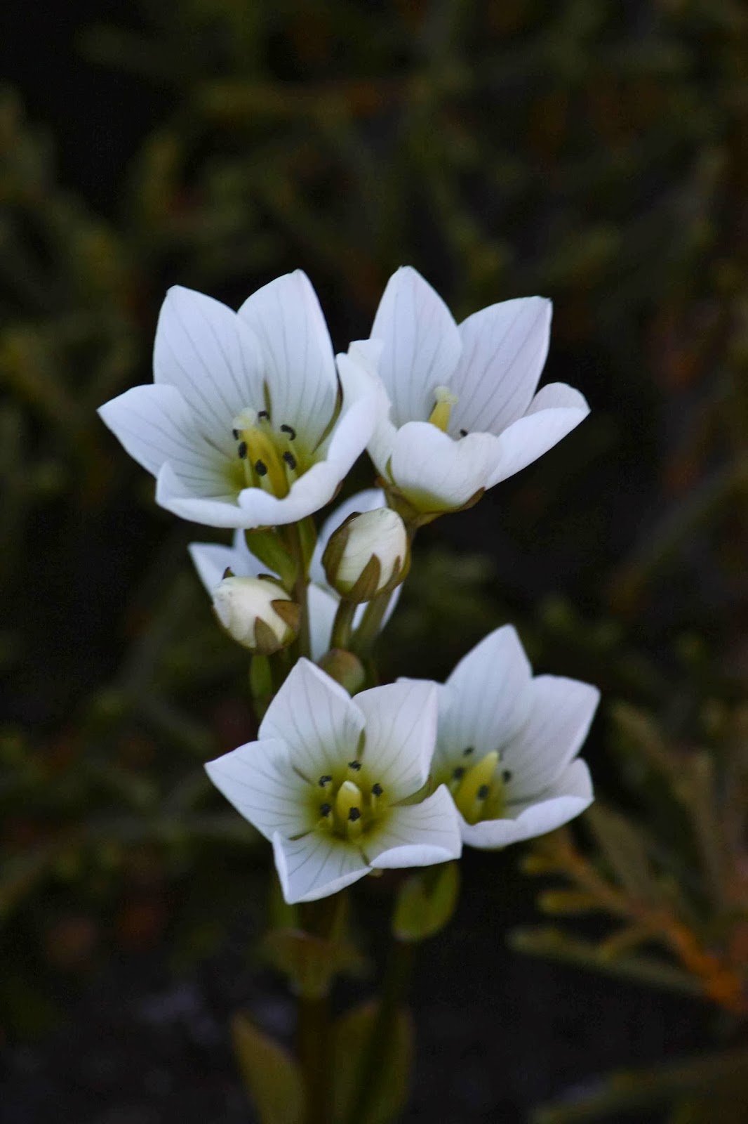
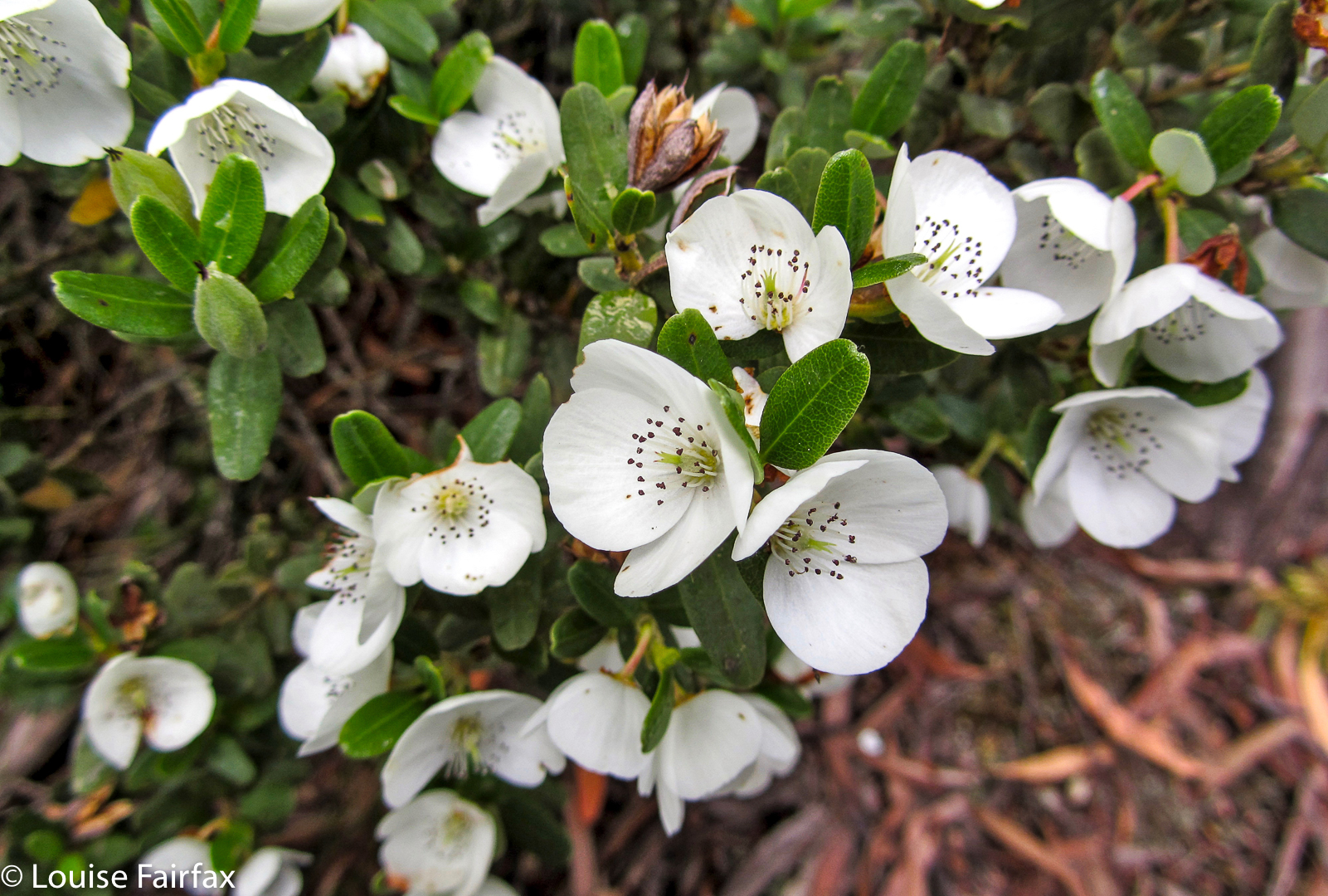
Gentianella diemensis plantaginea 
And at that point, the hard stuff began. I gave up trying to time what we were doing (I normally time everything), as we spent so long staring at painful walls of nasty stabbing scoparia or blockages of melaleuca that demanded a password we were not in possession of that I decided we weren’t going to make our destination. Time was running out. We needed light to safely negotiate the rocky ramparts on the Walled ridge line, and time was hurrying on – but we weren’t. We had set out at around midday, and had enjoyed lunch on the way, but everyone was now getting low on water – the day had been so hot we had been drinking regularly and plentifully from our finite sources – and the general pace was slowing in response to fatigue and thirst. The scoparia was not abating. The wall of scree that actually represented Macs Mountain looked at the same time both daunting and still tantalisingly far away. Would we ever make it in time? 
 
 Minotaur, Gould, Olympus, Byron and more en route to Macs.

Things improved. We found a lead of pineapple grass that helped the pace, and eventually arrived at the wall of medium-sized boulders that formed the face of our mountain. They looked as if they’d all tumble down at the first response to a footfall. You couldn’t see the top, so I wondered if the pile of rubble in fact lead to an impassable cliff just out of eyesight. Pessimist. Others started up. No rocks fell. They disappeared into the blue yonder. Time to give chase. What a super fun climb! On all fours I scaled up the height in no time. This was the easiest part of the whole day, and highly enjoyable. I revel in climbs like that. And there was the summit cairn at last. Unbelievably we had made it. And perhaps more unbelievably, so had my husband, whose doctors had told him many years ago to stick to even surfaces, flat and with handrails. HA.


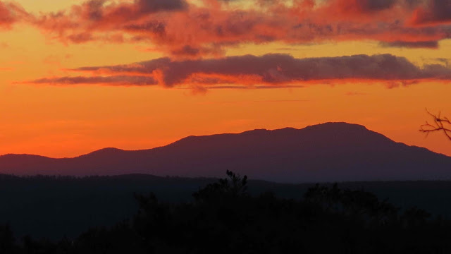
Hyperion from Walled ridge
The return route was much better, as we followed pineapple grass and a gully (that even had some drinking water in it) down to the left of the saddle between Macs and Walled. We chose the largest boulder chute to climb back up and that climb (rejected on the way down) was quick and painless. The bulwark ridge line protecting Walled from invaders provided no protection from our bunch, and as the mountains turned to soft blue silhouettes in the fading light we reached our tents in sufficient time to quickly cook dinner and eat it whilst watching the effects of sunset on the vista around.

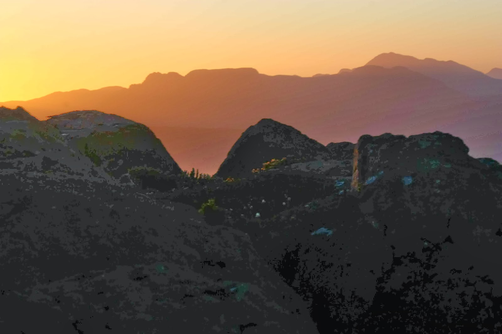
Dawn from the summit of Walled (to Geryon)


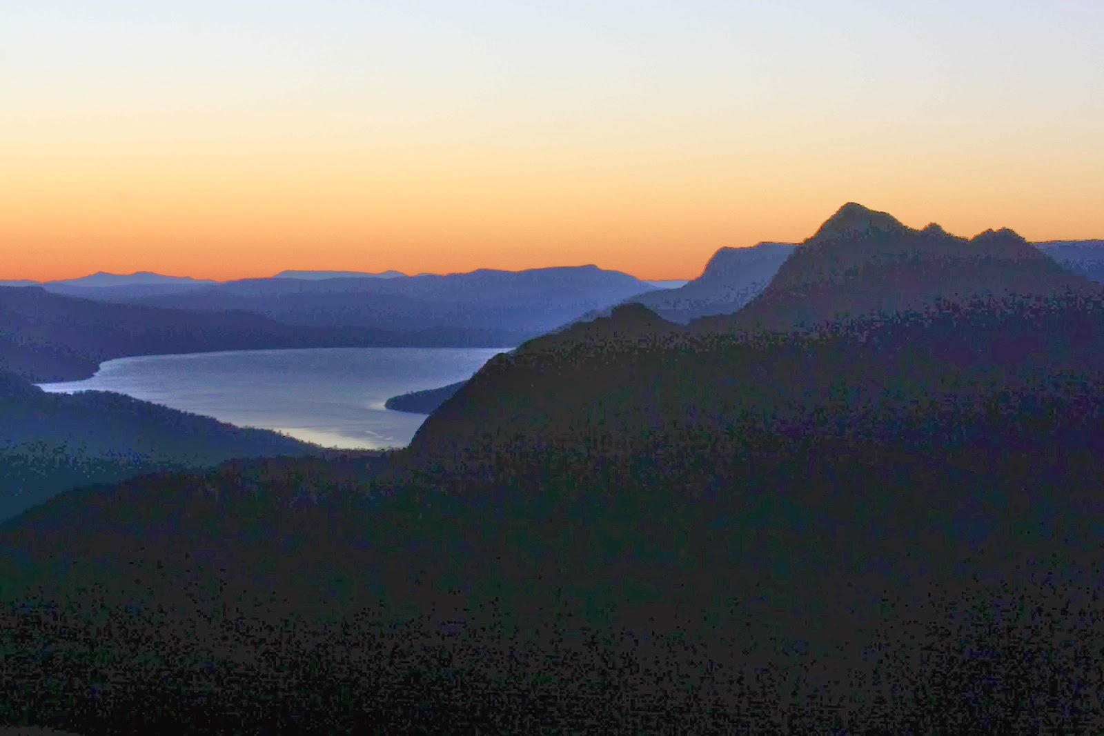
Dawn over Lake St Clair (Gould)

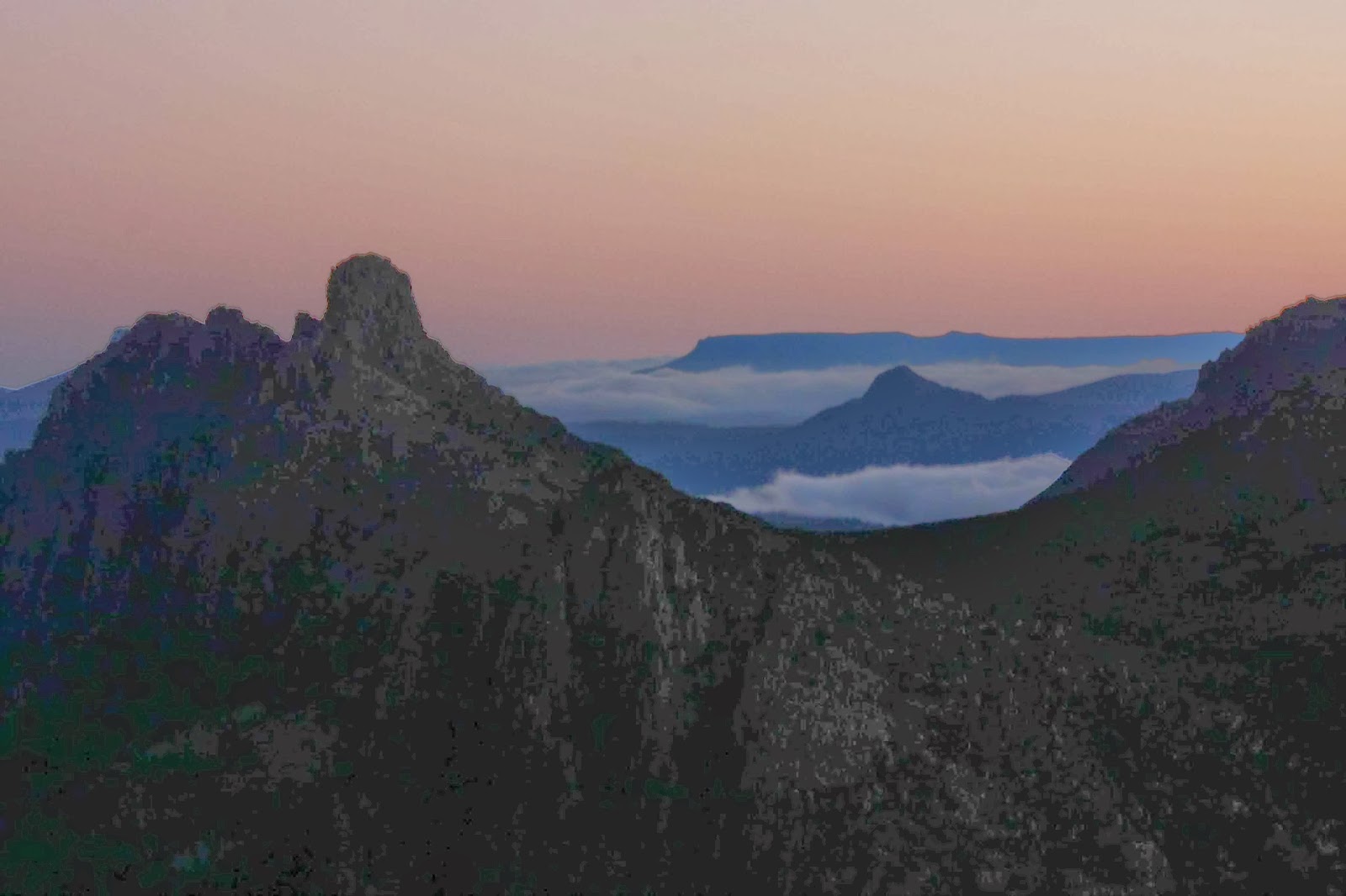
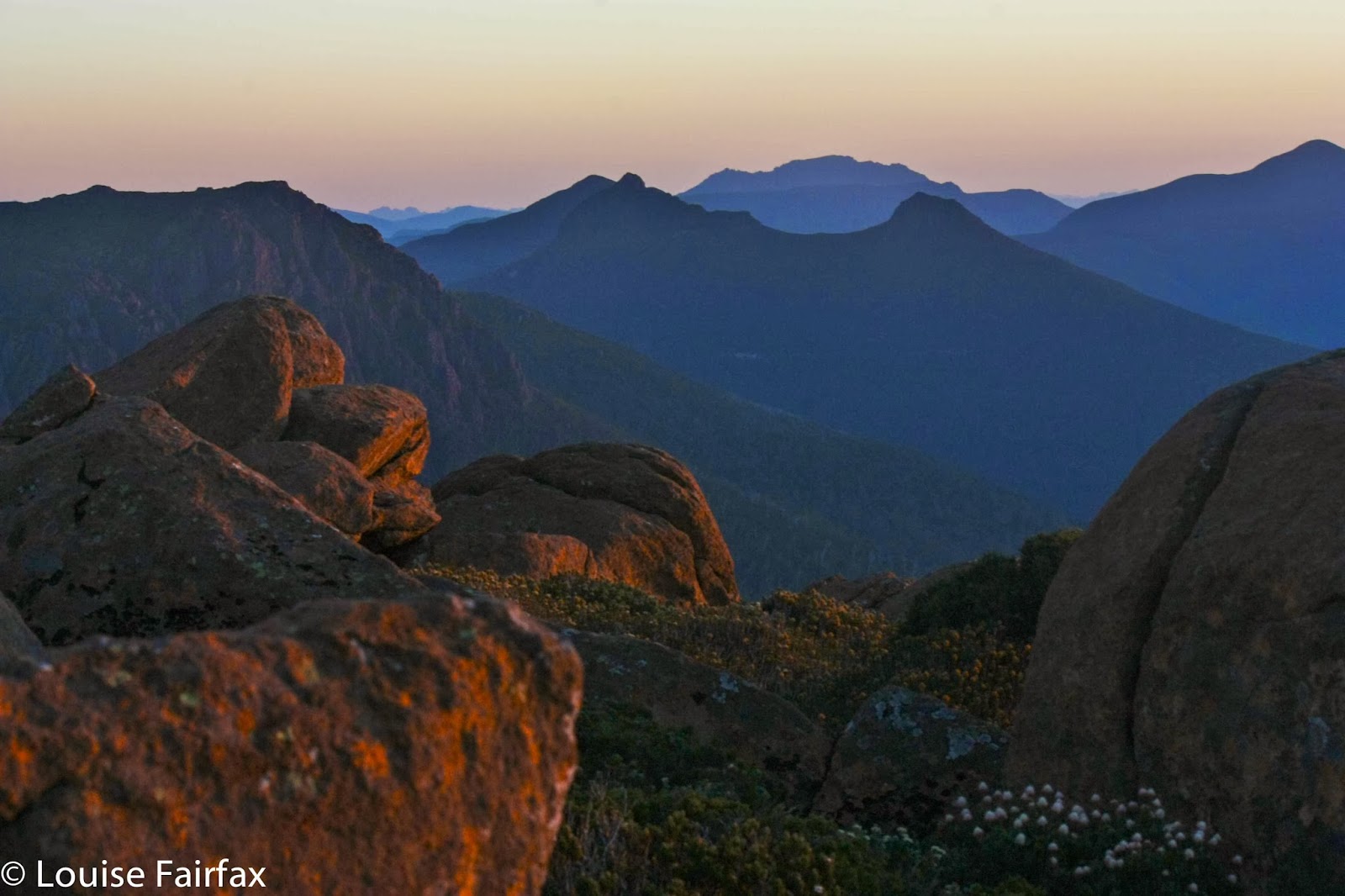
Dawn looking towards Hyperion

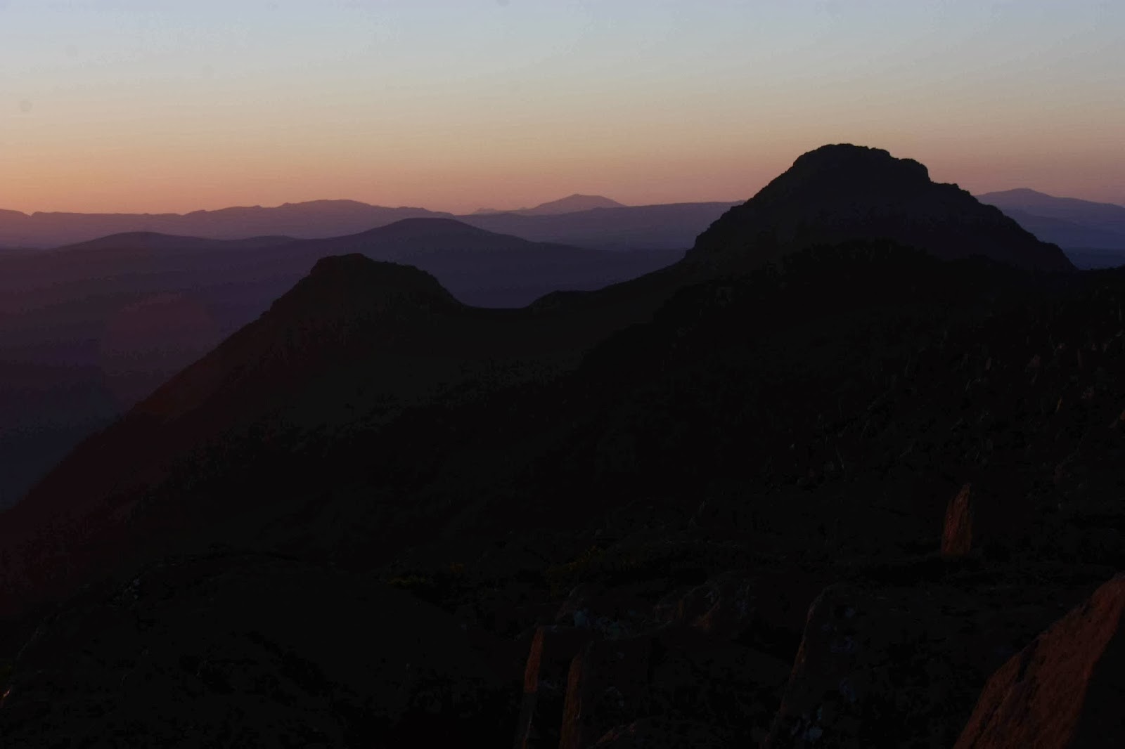
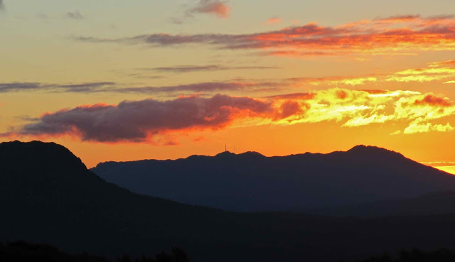
Dawn looking towards Macs

The next day we had a busy agenda. After witnessing (and photographing the dawn, we had to pack, get down our mountain, and cover the distance to the afternoon ferry before it left without us. Some of us wanted to climb the Parthenon as well (which we did), and others wanted to play chasings with their runaway tent across the mountainside, which was a fun sport and source of much mirth. 


The pace was hot to reach our destination, and the waters of Lake St Clair deliciously cool in contrast. Unfortunately, the afternoon ferry arrives after the Hungry Wombat kitchen has closed, and before the Derwent Pub is prepared to give you food. Starving for a burger with the lot, I drove home trying not to fall asleep.

QLD 2013 Mt Bartle Frere

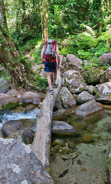
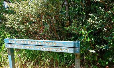
Mt Bartle Frere, Queensland’s highest mountain.

Bartle Frere seen from below 
 
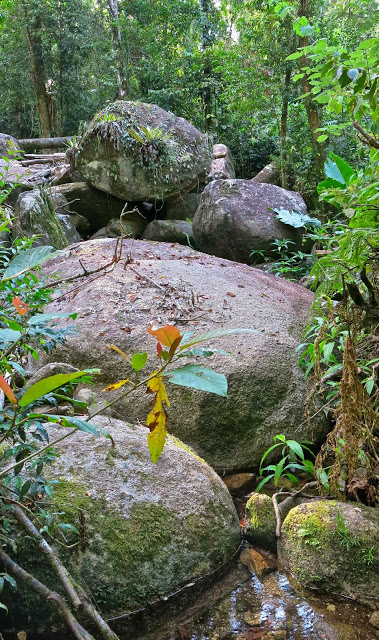
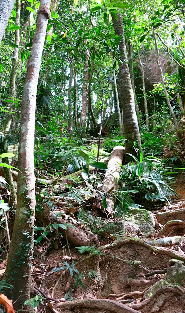
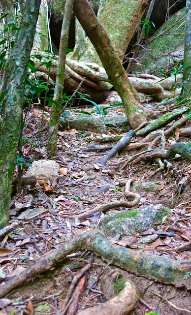
 Forest en route
I looked out the plane window as we descended for landing. Below were azure waters and green mountains. I should be excited, but my friends would probably be climbing a Tassie mountain in the snow this coming weekend, and the tropics held no particular allure. What was I doing here? It seemed I was having a holiday in Queensland because the family expected us to have a holiday in Queensland. That evening, as we tried to share the lagoon area of Cairns with hoards of young smoking German tourists, I longed for the quiet and beauty of home. What were we going to do to amuse ourselves on this holiday? We’d been too busy to make any plans at all. It’s amazing the flight and car had been booked.
 
I have wanted to climb Mt Bartle Frere, Queensland’s highest mountain – a climb from 100 to 1622 ms asl – for several years now, but had always been put off as the official QLD bumph one reads says it takes two days. I was also not enamoured by the prospect, as the same information said that if you do it when it’s wet you’ll slip and injure yourself, but if it’s dry, you’ll need to carry ten litres of water per person to avoid death by dehydration; if you do it when it’s cold you’ll freeze to death, but if it’s warm, you’ll die of heat exhaustion, or thirst or other related causes. It said there are very difficult climbing and boulder hopping manoeuvres at the top – if you get past all the other obstacles and terrors posed by this treacherous environment to reach that point. Never having had two days at our disposal, and rather wondering about these lurking dangers, we had opted for other activities in the past. This year, however, with no plans, there were also no excuses. We set out from Cairns after breakfast driving south for a bit over one and a half hours, the intension being just to go as high as we could until midday to suss it all out, and then we’d know if it really was out of range.


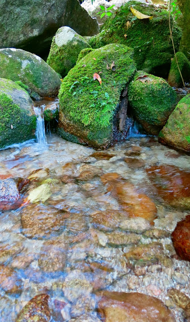
The first surprise was the availability of water. We crossed four or more flowing streams before we crossed a creek that needed a bridge. At the 3 km mark, there was another creek. We only had 4.5 more kms to go, which is not so very much if there is no more water – and there was no more water after that. Of course, it could be drier than this – but this is the dry season, and we did rather think they doth protest too much.


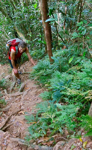
It was steep, yes, very, very steep, but it’s a mountain, so steepness rather goes with the definition. I even worked up a sweat, which I never do at home, and thought of some of my club members rejoicing that at last this was happening.


Once past the helipad (7 kms), there are more signs warning you of the dangers of traversing the boulders. I was fearful, and glad I’d left my husband behind after travelling at his speed for 6 kms. He’d no doubt rest at the helipad and wait for me to come back down. I was at the summit after 3 hours 15 mins climbing, and I hadn’t been pushing the pace at all, partly because of keeping with my husband, and partly saving energy for all these unknown, unspecified but alluded to terrors that lay lurking behind every vine.


On my descent, I nearly died of shock to find Bruce at the end of the boulders. “I just thought I’d have a look and go as far as I could go,” he said. This man has Parkinson’s disease, but had successfully negotiated boulders that had monstrous drops between them. If one slipped or misjudged, it would be very hard to be extracted. I was proud of him.


Descent
The track was beautiful, with rainforest nearly the whole way, and had a wonderful, tropical feel to it. The views across the boulders were excellent, although somewhat hazy as we were kind of in the clouds. There was no view from the top – just a sign telling you you’d reached it in case you hadn’t noticed. Had I not read the sign, I would have gone on, looking for the top. It’s not exactly obvious.


Summit sign
We had lunch at the “3km creek”, a swim at the Josephine Falls (more loud, rubbish throwing, smoking gangs of tourists) and were back in Cairns hours before dinner.

Saddleback 2013 Sep

Mt Saddleback   12 Sept 2013

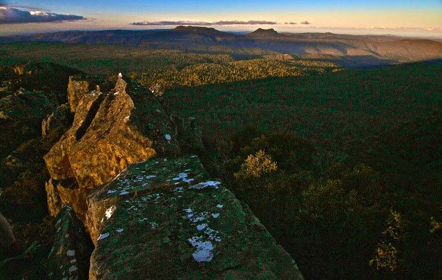
Victoria and Albert in the distance
“How long does the book say it should take us to climb it?”, I ask as we near the parking spot for Mt Albert.
“Two hours.”
“Oh. Swear.”
We have one hour’s light left. We can’t undertake a venture of possibly four hours if the book’s right with those statistics at hand. I slam on the brakes and do a U-turn. “Can you check Saddleback? Should be page 32.”

“One hour.”

“OK. Let’s hope we cut the book time as normal.” There’re still a few more kms to drive, and the sun will set in an hour. This is ridiculous, but I’ve just driven for two hours, so I am intent on summitting something.

As we approach Saddleback, there’s a tree over the road so we have to walk from there, adding time to the ascent. Great. At least we’re underway, and I note with a little dismay that the cairns are as subtle as cairns can be, and the “track” is even subtler. We will be descending in the dark for sure unless we work miracles on a speedy ascent, and I don’t like my chances of finding these cairns in the dark. My husband has coordination problems. Is he going to be able to clamber  over these big rocks in the dark?? These are questions to be dealt with later. Right now I have summit-angst and press towards the goal with my hapless husband in pursuit.
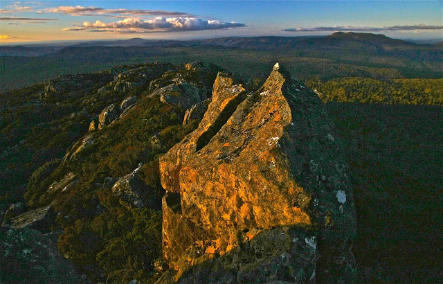
The gradient is wonderfully steep. What a fun mountain. We go straight up on all fours – but not for long. After 22 minutes I am cresting the flatter section at the top. Good. We may make it in the light yet. Unfortunately, however, B has dropped behind on the steep part and then got lost in the confusing section on the plateau, so I have to go back and dig him out of the thorn and scrub maze in which he had got himself entangled. More precious time lost.

Arthur
Once it was flatter, however, he kept up and I slowed down, and we managed to mount some wonderful, dramatic rocks that would serve as a summit for him while I went on to the real one that still lay about 200ms further on (in length, not height).
Now it was my turn to waste precious time. I went to take a photo of where I was leaving him, which had wonderful views to the east and north, and realised that I had on my telephoto rather than my wide-angle lens. Stop, change (I had brought up three lenses). I kept taking photos … more time lost. Then, while forging on to the monstrous real summit structure, my camera jolted, just a tap, but the lens cap and polarising filter flew off and down a crevice. More time lost while I searched. I ended up spending far longer on the summit than intended, although even so, not nearly long enough for such a worthy mountain, but by now the sun was setting in earnest, and I still had to get my husband out of this rock and scrub maze.

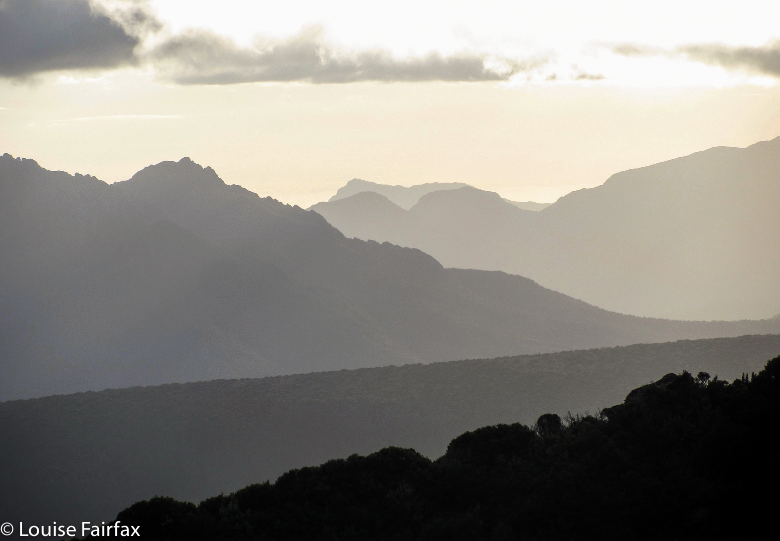
Barrow and a small bit of Lomond
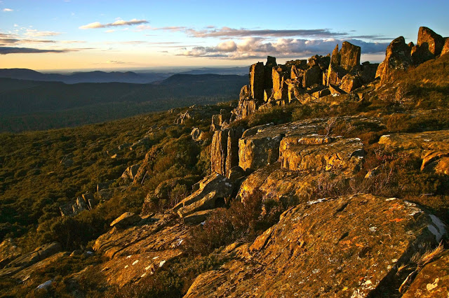
 The forecast for Cradle was minus four over night; even Launie was expecting minus one. This was not a night to be trapped on a mountain. Haste, haste. But the sunset was sooo beautiful. I collected B and we began our way down, but I just had to stop while we were still high for one last series of photos after the sun had slid behind Lomond and Barrow, leaving behind a sky of gold, and Arthur became a purple silhouette with pink background. Even if we did have to stay the night up there, I decided, it was worth it to witness that particular sunset.
Bruce looked a bit impatient as I clicked away. Had I forgotten my great urgency? Well, it was a case of “might as well be hanged for a sheep as a lamb”.  There was no way we were going to get down before dark – it was basically dark already – so why not at least take a few photos? He wasn’t exactly in a position to criticise me for holding him up, and soon enough we were on the treasure hunt that the trip down became – each cairn evoking a cry of victory as it was found. The dark grew darker, but I kept managing to find the next cairn. I was immersed in a world of extreme concentration as I read the bush for signs of usage. There was, however, only one spot where I was in doubt, thinking the land looked better to the left than either down or right. At that point I consulted my gps device for the first time, and a retracing of our tracks dictated that we should go slightly right instead, continuing to drop contours steadily. We obeyed my screen.
We did have head torches, but chose not to use them, as we didn’t want them destroying our night vision. They were there for a worst case scenario. On we went, until my victory cry. There was the road. High fives; smiles. Oh what a great adventure that one had been !!!! Bring on the next one.
Another two hour drive home made for a late dinner. I like at least a 1:1 ratio of driving to exercise. This trip was even worse than 2:1, but no matter. We love a grand adventure, and Saddleback provided that for us, for sure.
Bruce commented later: “I wonder what the doctor who told me to stick to flat surfaces with a handrail would say to that one.” (He has Parkinson’s disease).
“He’d never catch up with you to do the saying”, was my response.
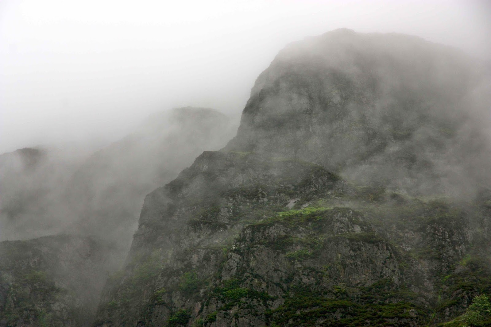
Picton 2012 Feb

Mt Picton, Feb 13, 2012.  The first mountain in my peak bagging “career”.
Of course, I didn’t know what peak bagging was at this stage, but this was the first mountain where I consulted the Abels book and steered us up a mountain that didn’t have a track. Much, much later, I would begin ‘collecting’ them. At this stage, I ticked this mountain in the back index: an act that led me down a path on which I wanted a dirty page full of ticks.

 I had decided I wanted to join a walking club so as to get to know likeminded people, but, having a husband who has Parkinson’s disease, I was a bit scared about making this move. Perhaps he would be far too slow and clumsy for a bunch of experts. Maybe I, too, had lost too much fitness to belong in such a group. I phoned the leader and suggested that Bruce and I arrive and climb early, so he couldn’t slow anyone down, and that we’d meet them all at the top of the mountain.

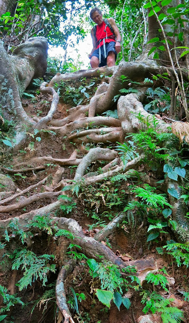
I needn’t have worried, but it was good to be sure. I don’t like putting others out. However, Bruce made it up the quite difficult mountain without disgracing himself or imposing on the good nature or patience of the others. In fact, given the description of the track, and the characteristics of the terrain, his first hour and a half had been exceptional. The ground had been slippery and very steep, muddy in places. Some sections were so steep that there were ropes in place, and the obstacles were many: the “path” was strewn with fallen logs, which were decked in a thick coating of moss and lichen and which had to be climbed over or under or along – each method containing difficulties when carrying a pack, and even more problems when one has Parkinson’s. The final half hour  – just pushing through bauera scrub – was easy for me, but Bruce found it challenging, as he couldn’t see the ground, so lost confidence. We pitched our tent and enjoyed the scenery, and at some stage later, the others arrived, just as we were ready to do the final leg to the summit. We arranged to meet on the very top.

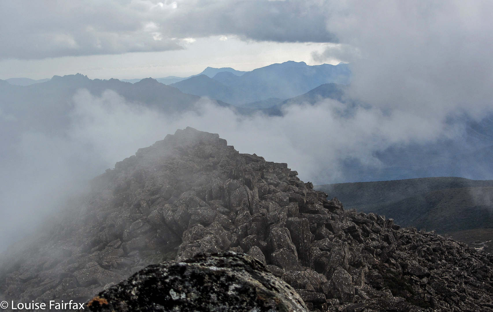
I had never thought it would be at all possible for Bruce to reach the summit trig, and was shocked when he looked up and said he could do it. We ran into trouble near the very top, when the huge boulders formed what seemed like a maze that couldn’t be solved from the inside. In fact, I was making plans about where best to spend the night (there were some rocky caves) as I could get him neither up nor down and the mist was closing in rapidly, when we heard the voices of the others in our party who were now climbing behind us. Encouraged by the fact that hope lay in joining up with them, Bruce found energy and expertise from somewhere, and got over the impasse to reach the base of the final, doable climb. It was fun sitting up the top with club members, chatting, sharing chocolate and watching the mist swirling around the rocky forms surrounding us. We descended as a group, arriving back at base in time to cook a leisurely meal while the sky turned pink, the mountains purple, and the tarns took on an incandescent light in the foreground.


Summit view
It was a cold, dark night following this beautiful sunset. I had hoped that Picton would be a shapely dark presence – like a black hole – in a star-studded silvery sky, but there was too much mist for that. Even so, just being up there surrounded by tiny tarns with the summit so close and the knowledge of the endless ridgelines of other mountains beyond imbued the whole night sky with magic. There is a special feeling created by sleeping up high in one’s tent with friends in their tents nearby. I drifted off into a happy sleep, well content with the day.

We had enjoyed being with the club, but Bruce was very, very slow on the way down, and we were sure we’d never be allowed on any future walks, which we both agreed was a pity. The forest had been superbly magnificent, and it had been fun to share our experience in the bush with others who loved it too. We both felt as if we’ve had a several-week-long holiday, and not just a weekend away.
Driving home I was dangerously exhausted. However, thanks to stops for food in Geevestown and Campbelltown, and a snooze while Bruce bought out a roadside fruit stall, making a life-long friend of the fruiterer (who even gave us a present of a CD he’d made as a parting gift), I made it safely through. We played our new tape, its songs being so lyrical that we sang along with it while I drove. The music remained a happy reminder of a trip that we both now treasure, despite its difficulties.
For a gpx route, see my next post on Picton (2017). I didn’t own a gps for my first couple of years of this new game, but relied on good old map and compass.