Higgs Track to Lady Lake 2021 Jan

Back in the early 1990s (when I was an athlete), I used to run up Higgs Track for training. The times I did, from the vantage point of my current age, seem daunting. I must try running it again some time to see exactly what damage age has done to me. But that is for some later date. Today I decided to take my tent and camera gear and go up for my first overnighter in the region.
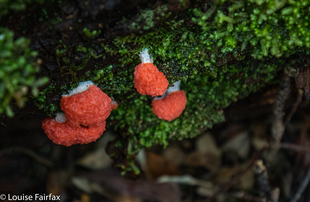
Slime mould Dale Brook. Tubifera ferruginosa.
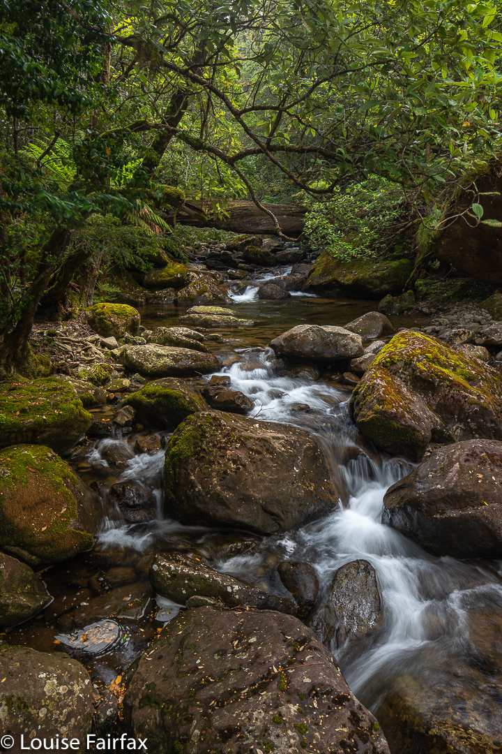
Dale Brook, Higgs Track

Running is very different from walking with a heavy pack! The pack forces slowness upon you, and you have extra time to notice more of the tiny aspects of the bush – like fungi. I was not expecting fungi in summer, but photographed eight different genera, which greatly surprised me. (I found more than that, but they were mostly too big and bulky for my tastes; there were also other plain-coloured, middle-sized ones I couldn’t name, and, as no one ever seems able to help me identify that sort of fungus, I left them.)
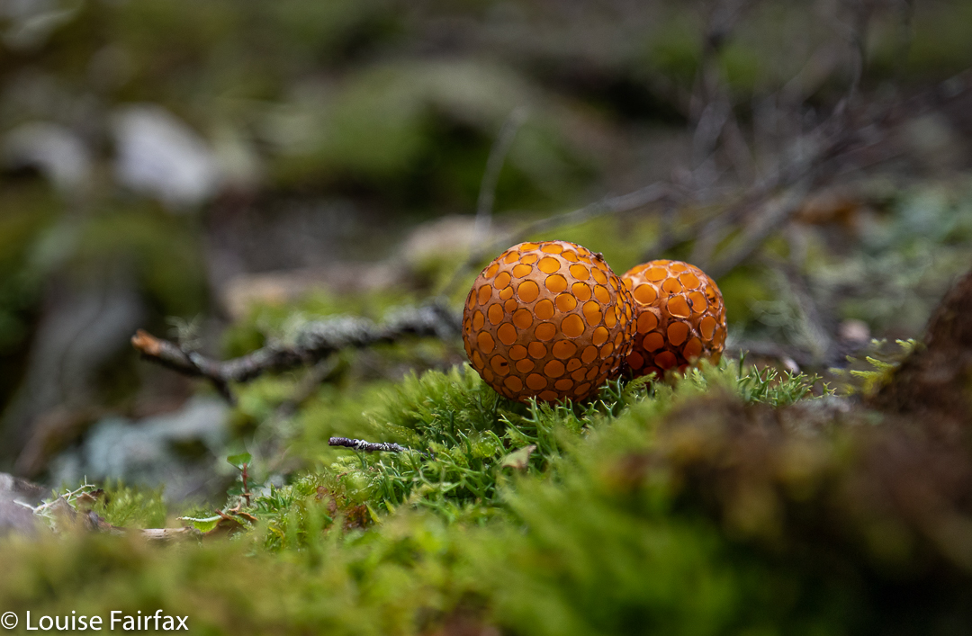
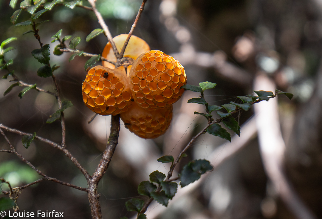
Cyttaria gunnii Higgs Track. There were literally hundreds of these, lying all over the ground, having fallen from the myrtles above.
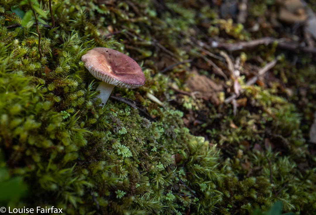
Russula serpillifolia, or a faded persanguinea? Not sure. I will correct this if someone helps me ID.

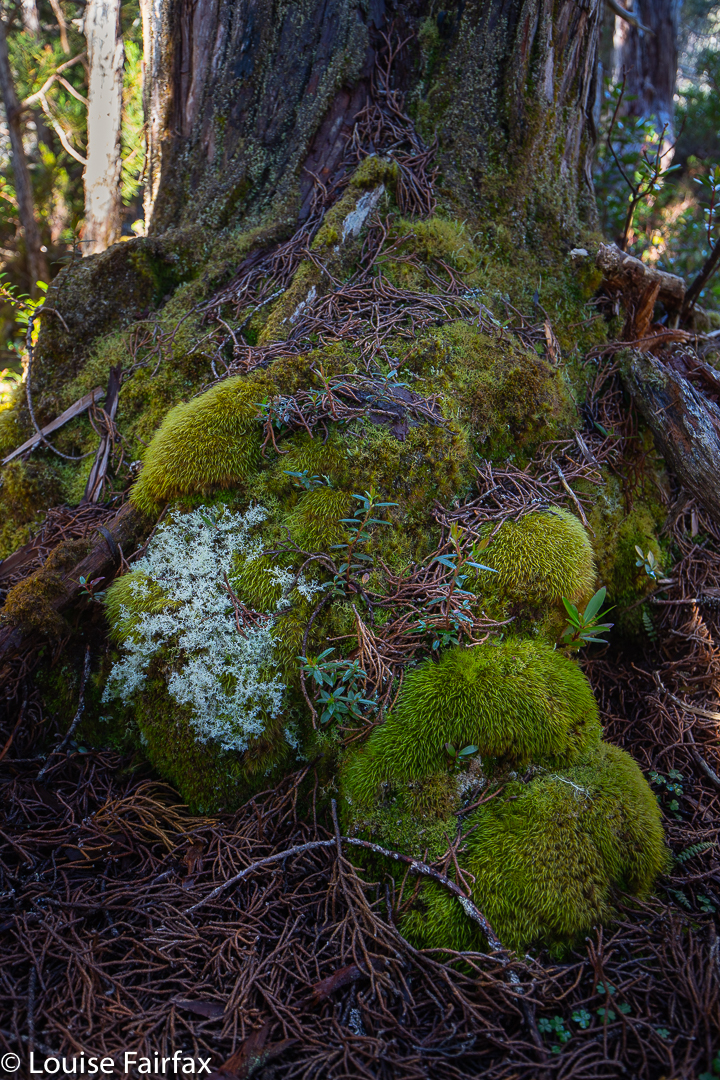
I had forgotten most of what Higgs Track was like. My single dominating memory was that of trying to cross Dale Brook at the start, crawling along a disconcertingly high and usually very slippery log before the climb began. Nowadays, I discovered today, there is a problem-free bridge, so my hesitant anticipation was unnecessary. Meanwhile, the track itself – and the surrounding area in general – was very beautiful indeed, with masses of ferns and moss and rich brown tree trunks. Dale Brook could be heard for most of the trip.
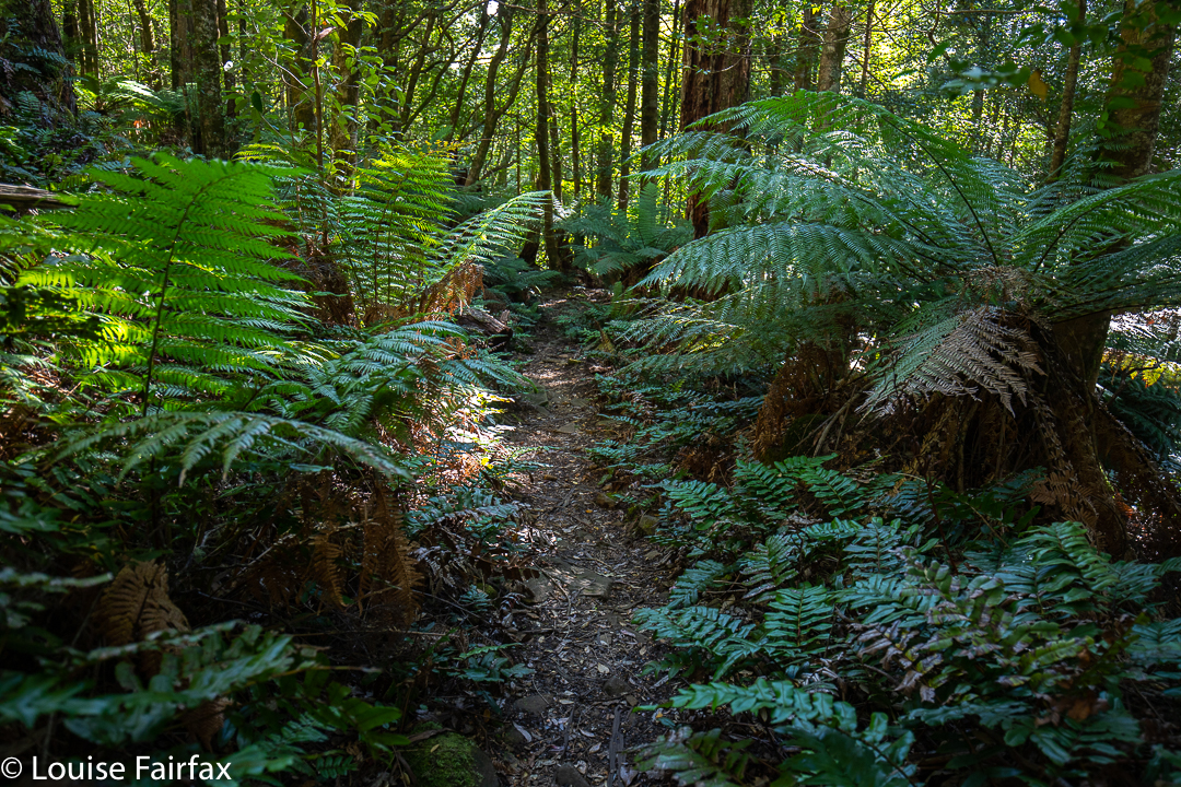
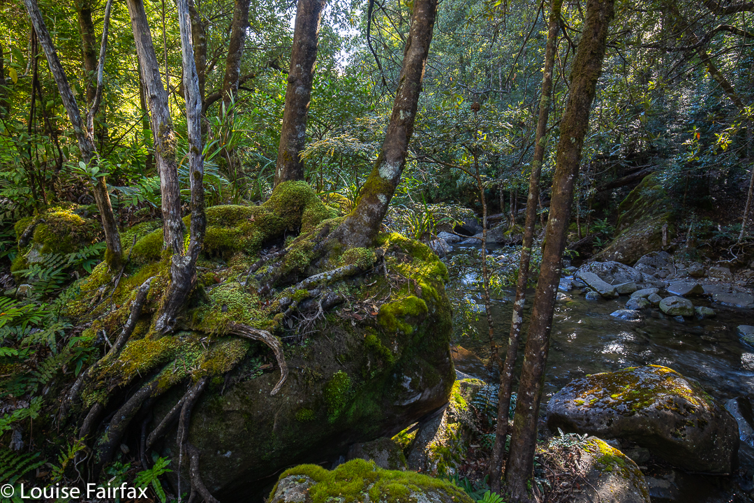
Higgs Track
Higgs Track

Walking with a pack may well take significantly more than double my running time, but I had still finished the climbing part to the flat plateau at the top in under an hour, so was pleased. This gave me plenty of time to check out the hut, meet its inhabitants and have some soup and dinner before I would set out with my camera gear to see what I could see as the sun got lower.
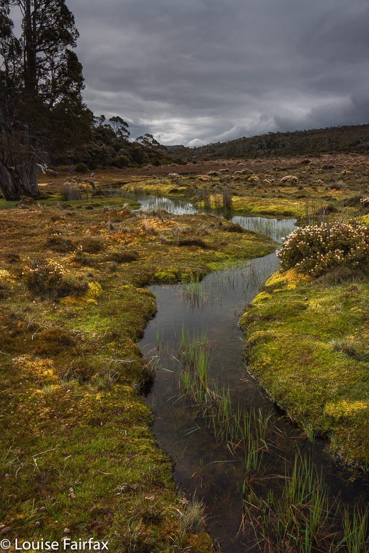
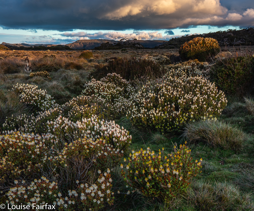
Lady Lake Plains
Wallaby in Lady Lake Plains enjoying the twilight. (The flower is mostly Bellendena montana with a Richea scoparia taller behind). Believe it or not, this is a thirty second exposure. What a cooperative model!!

The hut inhabitants were friendly and welcoming, so I decided not to pitch my tent, which would mean I didn’t have a wet mess to pack up in the morning. Rain still looked likely. The dark clouds were very attractive, and I was able to enjoy them all the more for the knowledge that they were not going to wet the fabric of my tent, making it heavy next day.
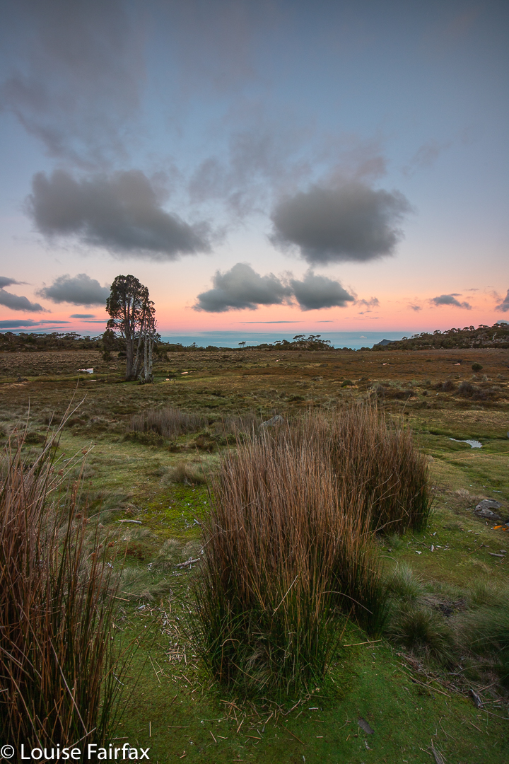
Alpenglow on the Great Western Tiers near Lady Lake
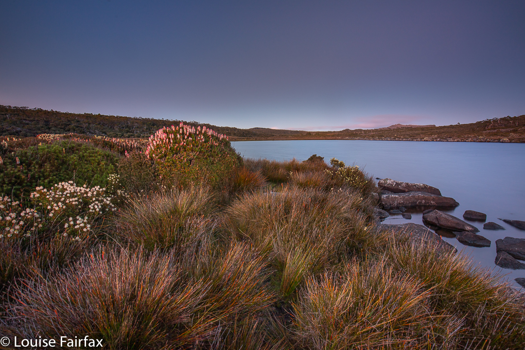
Richea scoparia greets the dawn at Lady Lake

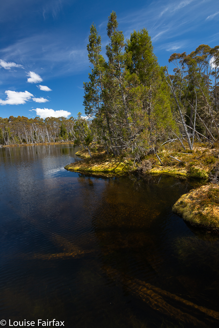
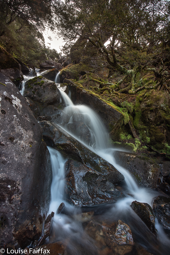
Off I set, exploring channels, finding a waterfall, and then going to the lake where I found wallabies and colourful wildflowers. During the final splash of colour at Alpenglow, I shared the last of the beauty with the others from the hut out on the verandah. Next day, I enjoyed a kind of repeat of wildlife, wildflowers and lake in beautiful pre-dawn colours by setting my alarm for five in the morning and braving the bracing temperatures to experience pink-hour beauty.
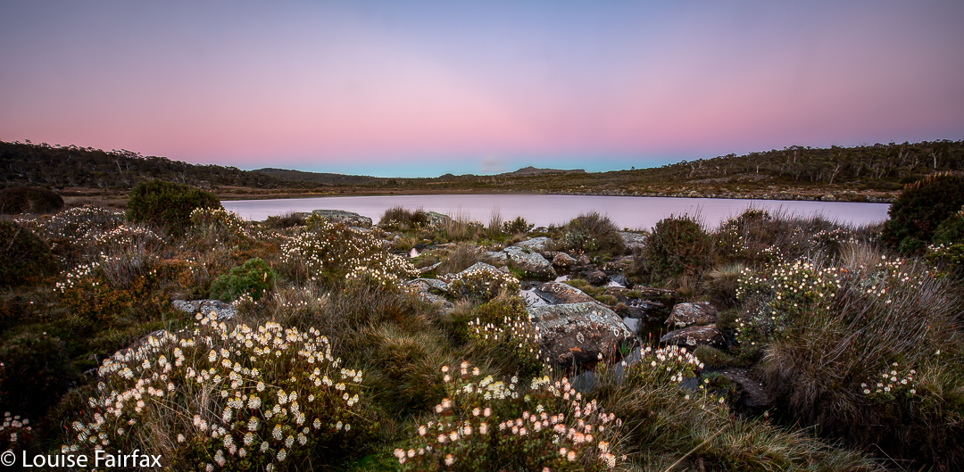
Pink hour, pre-dawn at Lady Lake
Dale Brook Falls, the waterfall I found. According to a strict reading of the map, this waterfall is actually on a tributary of the main Dale Brook, but I decided including that in the name was too much of a mouthful, so have just named them (unofficially) as what you read here.
For winter views, see www.natureloverswalks.com/lady-lake-snow/

Lake McCoy – Mt Pillinger circuit 2020 Dec

The Mt Pillinger-Lake McCoy circuit has something for everyone. On this day, the final Wednesday of 2020, a small group of us who either don’t work or have organised our lives to have Wednesday off, had an amazing tally of wonders to let us know that 2020 was not all bad.

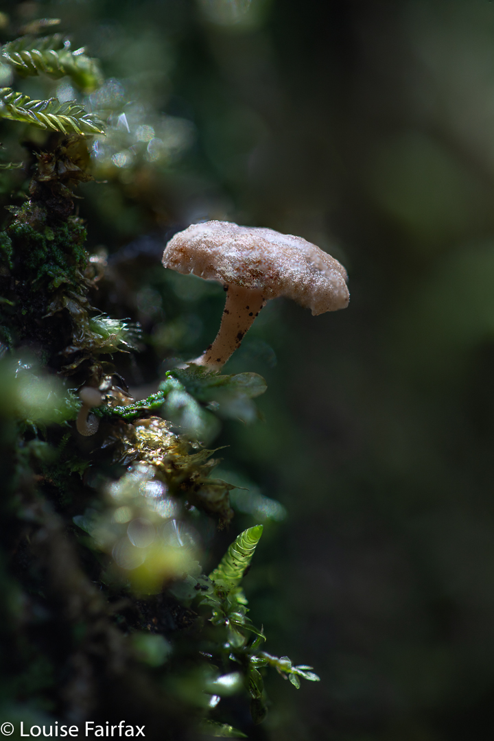
Mycena carmeliana was one of many fungi to make an appearance. This is an old one, but doubtless it had recently enjoyed the rain we have been having.

We saw two waterfalls, three wedge-tailed eagles (up very close; I think they liked my mauve parasol), several different kinds of fungi, masses of wildflowers, the view from the summit of Pillinger, several groves of magnificent Pencil Pines (Athrotaxis cupressoides), vast areas of bouncy and colourful sphagnum moss, a few wilderness valleys that we had not previously explored, and a new lake (Lake McCoy).

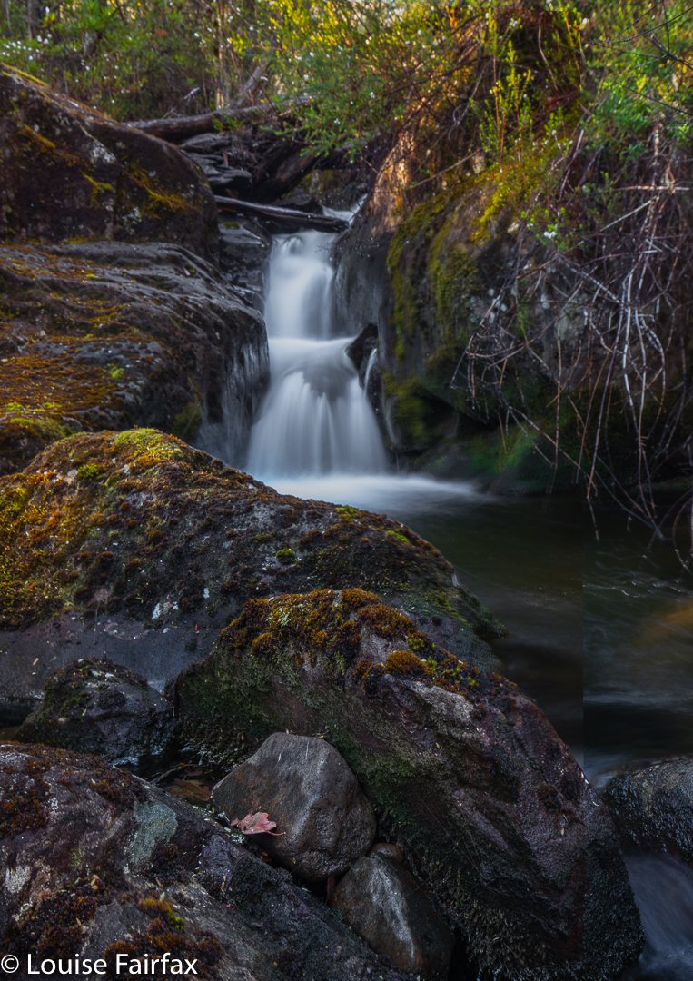
Arm R Tributary A Falls

This circuit can be done with equal enjoyment, I would think, either clockwise or anti-; we chose anti-.
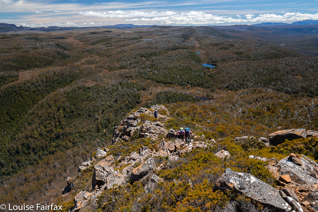
We parked our cars at the end of the Magges Spur 17 road, and set out down the pretty clear track. After only seven minutes, the track (which ultimately leads to Mt Pillinger or to the Arm River main track, or to any number of other enticing locations) crosses the first of many unnamed Arm R tributaries. As they are nameless, I have just called the first one A, and the second B. The third creek, which we didn’t cross on this route, bears the actual name Arm R; the fourth and fifth are even further west again, and are also unnamed. Tributary A has a pretty little waterfall, shown above.
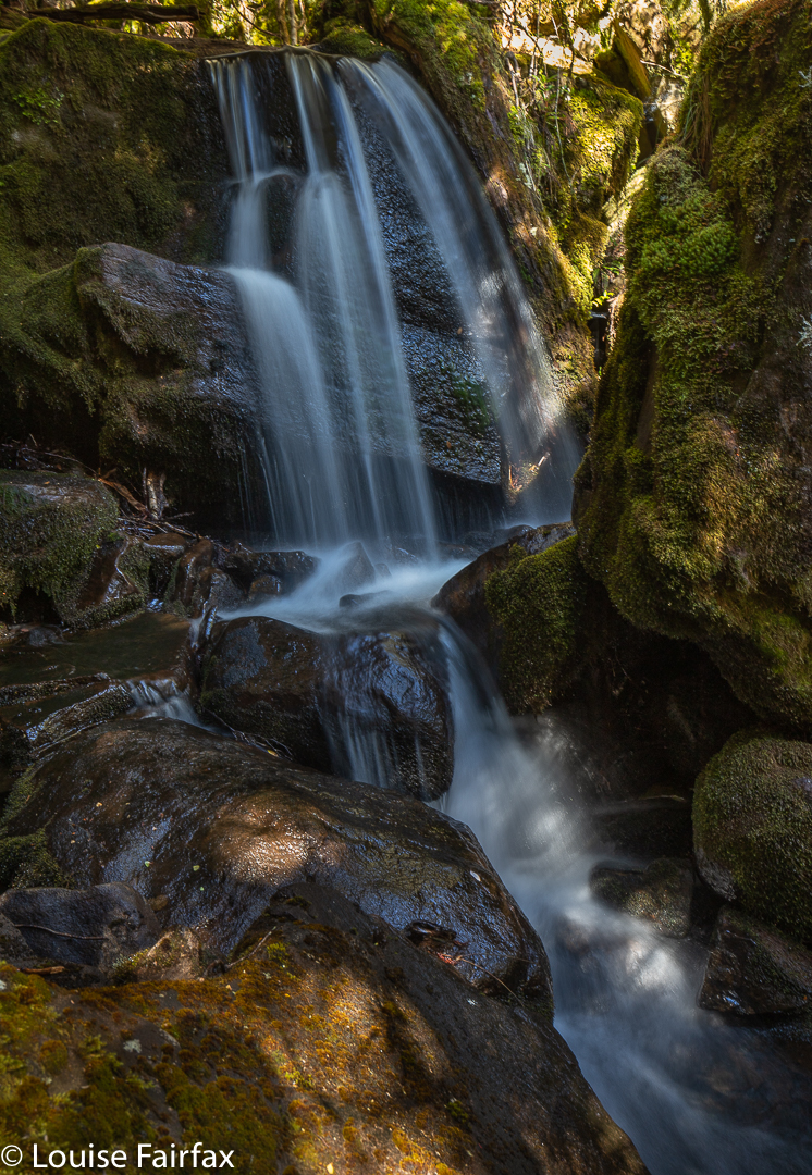
The second creek we crossed, I have with enormous imagination called Arm R Tributary B, also contains a waterfall worth photographing (see below). We were not getting anywhere fast, but that was never the purpose of the day.

Arm R Tributary B Falls

Once we had enjoyed the rainforest, fungi and waterfalls, we climbed slightly (often beside Trib B) out onto the plain that eventually passes under Mt Pillinger. This area has fabulous Pencil Pine groves.

Arm R tributary scenery

One follows Trib B westwards until there is a saddle so broad and flat that you need a map to tell you it is actually a saddle. Out the other side of the slight swamp and down imperceptibly, you briefly meet the actual Arm R before turning south and beginning the climb up the main Pillinger gully to a saddle before the summit. I have always fancied sleeping in this saddle, or even higher, as there are many flat, clear spots, but water would need to be carried from the tarns of the Arm R at the base if that is what you want to do.

Pencil Pine base
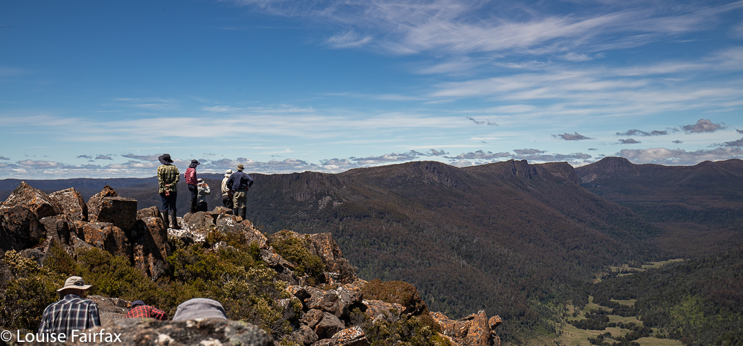
Pillinger summit

The view from the summit is pretty good, but I never actually enjoy summits in midday glare. The highlight up there for me was the appearance of three huge wedgies who kept circling us at close quarters. I take credit for this, as I’m sure it was the mauve parasol I was using to protect me from the sun that attracted their attention. Their eyes seemed quite focused on it, or so it seemed.

Pillinger summit

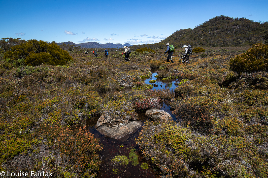
At last we were moving again, and this time, after the Pillinger saddle, in a different direction, south, to and then along a valley with calf-high alpine grass and colourful scoparia (nicely spaced, thanks), cushion plants, and a dainty creek with deep, clear water down the centre.

Along our second valley
Cushion plant in the valley

Our desired lake was to the east of where we were, so we had a couple of unpronounced spurs and appealing valleys to cross before we reached it.

Cyttaria gunii in Pencil Pine forest near Lake McCoy
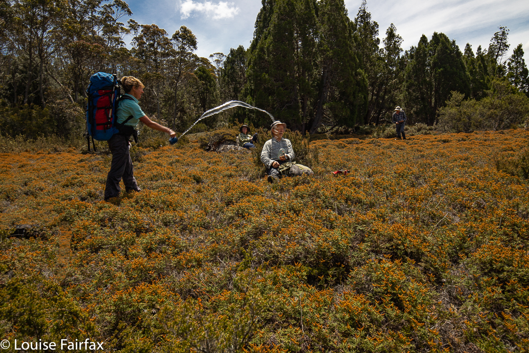
The day started at 4 degrees. It seems some of us thought it had warmed up enough in the early afternoon for a water fight.

At last we reached our lake; time for another afternoon tea.

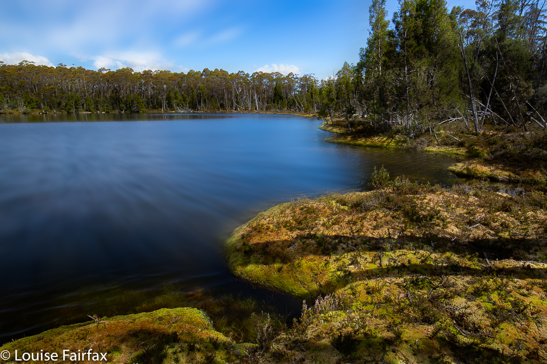
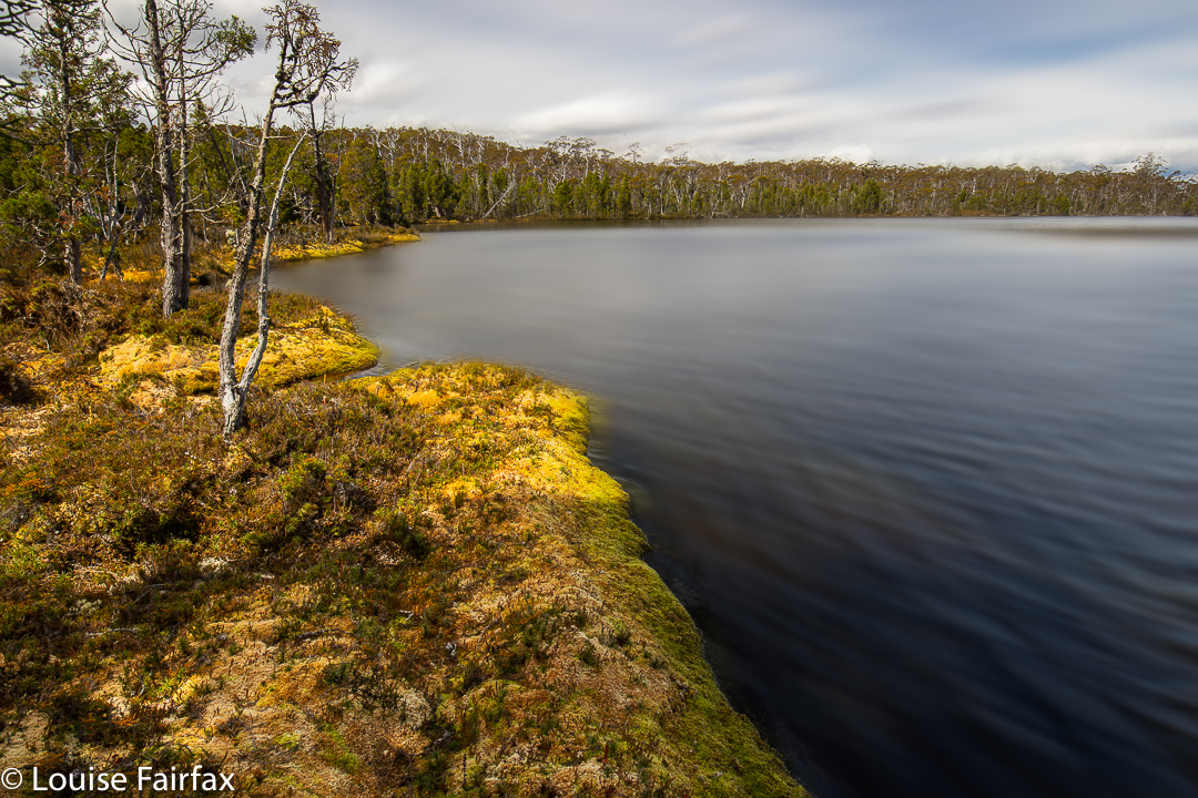
Lake McCoy

The stats are that we walked about 14 “horizontal” kilometres, climbed 382 metres, yielding 17.8 kilometre equivalents.

Lake McCoy

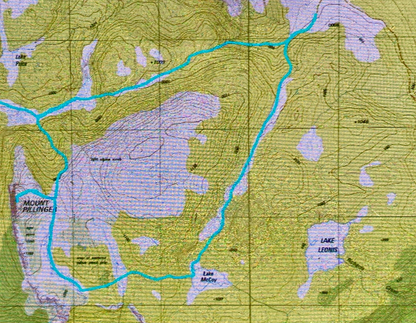
Lake McCoy route.