Alberton Falls 2018 Feb

Alberton Falls Feb 2018
The web remains curiously silent on the topic of Alberton Falls, and I am an incredibly curious person who likes visiting outré places. Alberton Falls yelled out its challenge to me: “Come and get me if you can.”
I suspected that this wouldn’t be a brilliant mission with respect to photography, but, well, you never know, and we did have a huge storm last night, with a cloudy, possibly rainy day forecast for today. Of course, seeing’s we were there to photograph, the sun shone brilliantly nearly the whole day. The aim with this waterfall was, more than anything else,  just to get there and to satisfy my curiosity. Any good photos would be a bonus.
Off we set. It seemed by the sound of things that Carrie was not appreciating walking through marshy button grass in summer heat. Early on she thought she heard a snake. I forged on, trying to pacify her by saying they’d bite me first. I don’t know how convincing I sounded. It seemed she was of the opinion they could bite either of us, and more likely her, as I had on gaiters. I kept pointing to where the forest began: “See, just there. Once we’re there we’ll be in lovely forest with no snakes.” And I was right. The forest was really beautiful, and we didn’t see one single snake. Now we could both start enjoying ourselves.
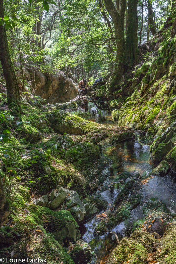
Once we were in the forest, we just followed the creek down. I spotted signs that someone had once walked this way, and Carrie, whose eyes were not so glued to the ground, started spotting old bits of faded, rotted tape, many of which were above my head in height, so I guess a kindly giant put them there. They were not to be relied upon, but that’s fine. I was navigating using the normal methods, but their reassurance was a friendly one.
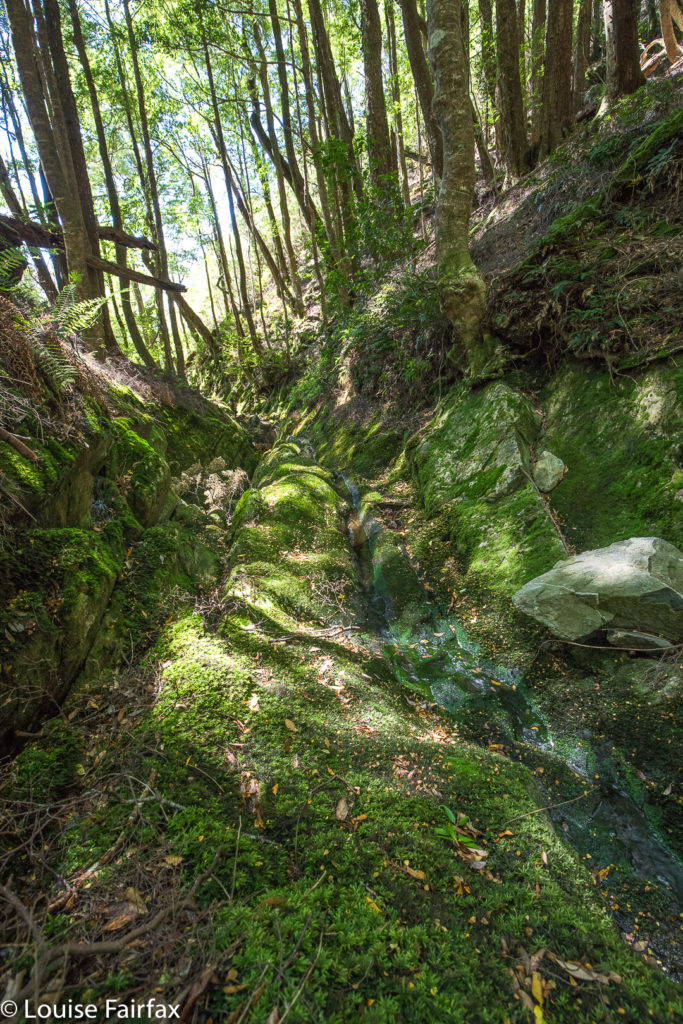
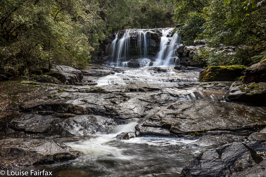
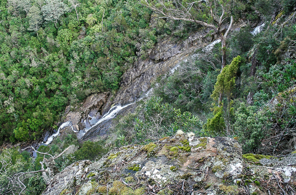
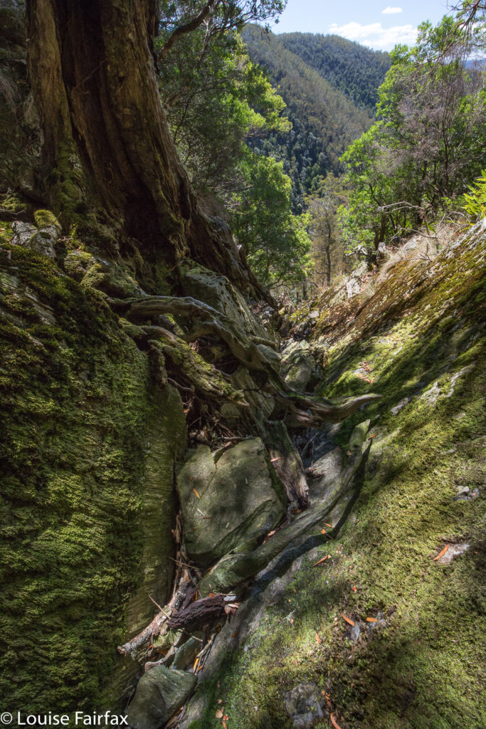
Eventually we came to the “falls” – except that nothing much was falling today. However, just as you can tell that a building was once beautiful by inspecting its ruins, you could tell that this waterfall would be a lovely one when the water was flowing. The drop away from us was huge. We looked out from where it exited the rainforest past a whopping cliff and out, out into the way way yonder. We were both determined to have some photos for our efforts, so snapped away just because that’s what you do when you’ve arrived.
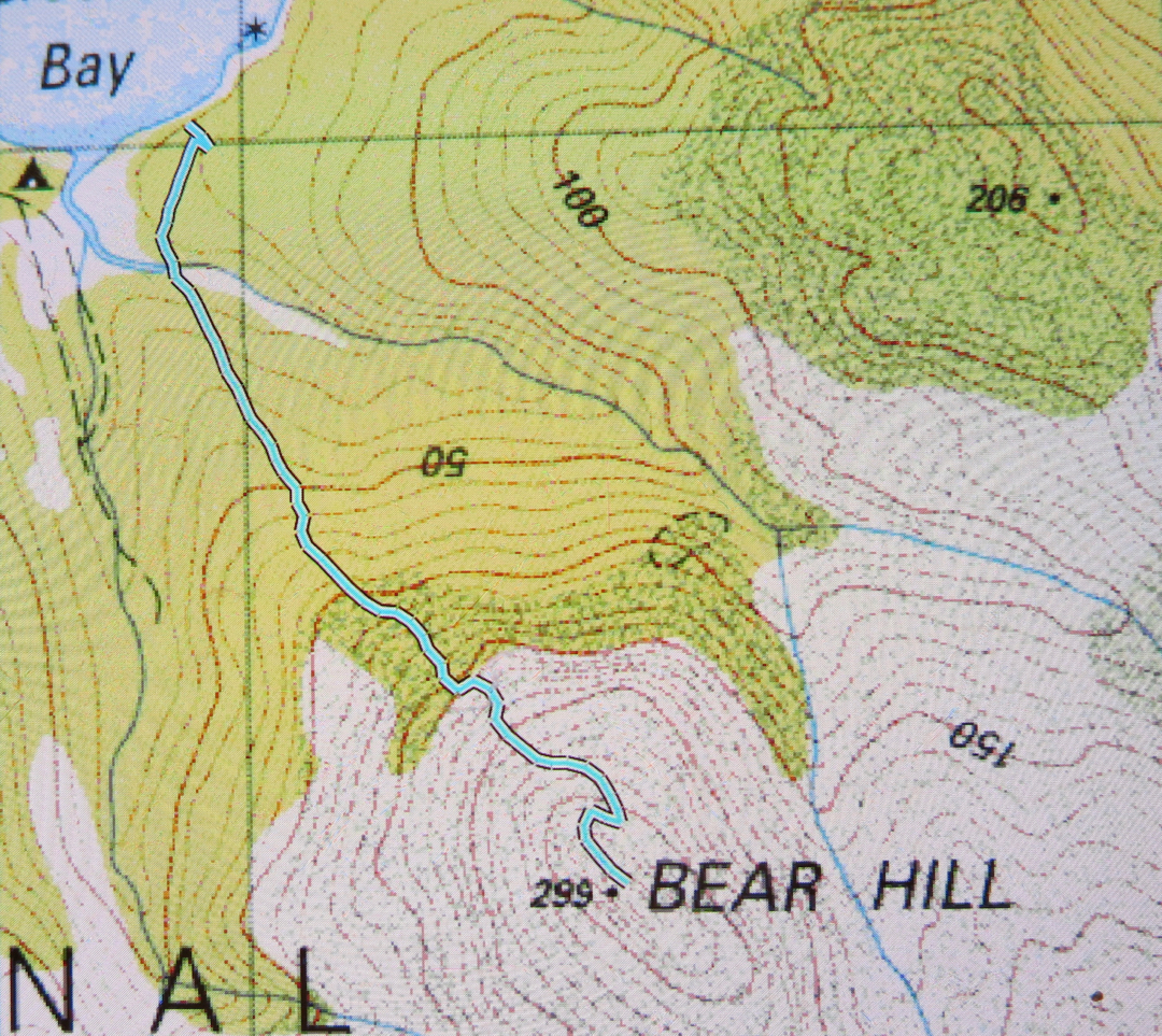
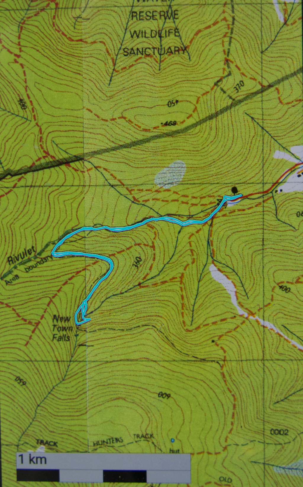
As we both enjoyed the magic rainforest, which was surprisingly open, and so beautiful that we spoke in whispers so as not to spoil the feeling of peace and serenity that prevailed, I took us on a route back to the car that maximised our time in the forest, and thus minimised our time in open land. (The crookedness of the line exists because I was using the parts of the forest with almost no undergrowth, as opposed to areas where this was not the case.) To the north, the land dropped to eternity below us. It was a gorgeous forest and a fun adventure, and we have now documented a previously web-neglected waterfall, and had the pleasure of experiencing a place that not many others have seen, one suspects.
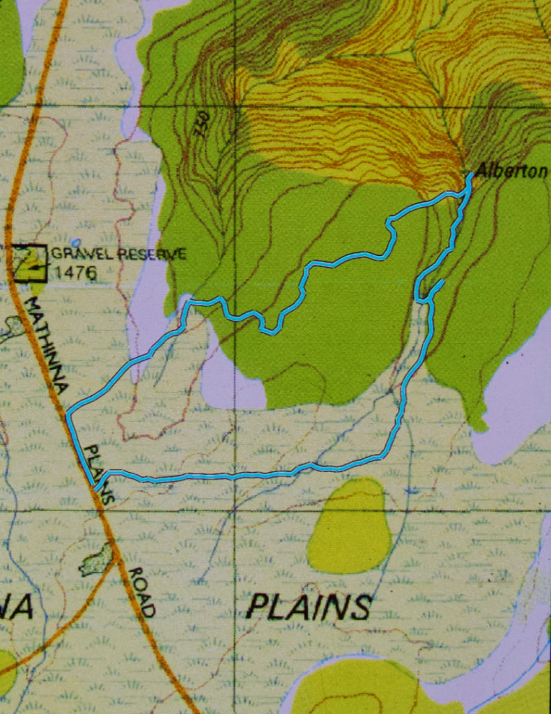
I nearly forgot to add: it took us 23 minutes to the falls, longer on the way back, due to weaving and more map consulting than on the way there.

Bear Hill, Schouten Island 2017 Oct

Bear Hill, Schouten Island Oct 2017.

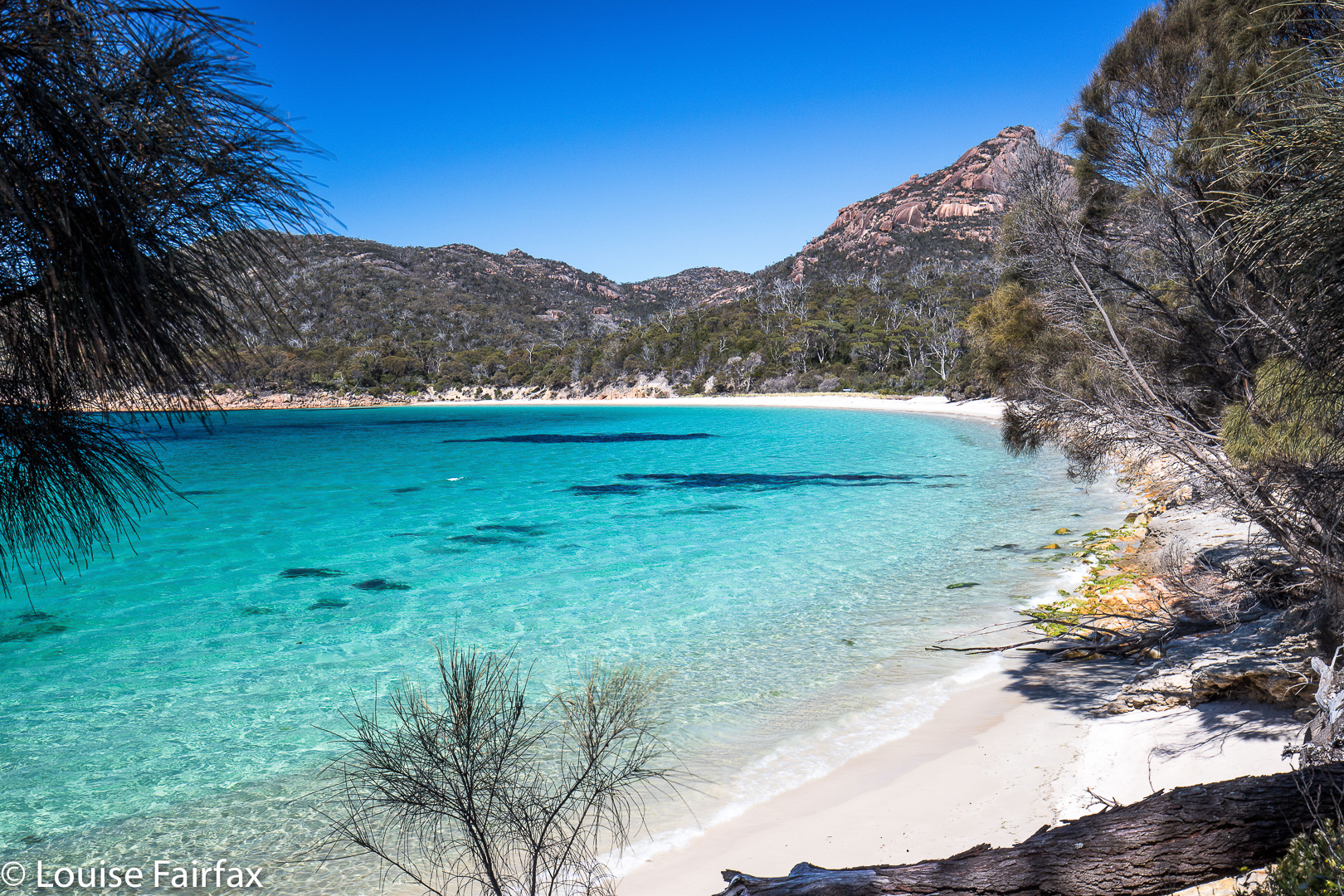
View of Bear Hill from the water’s edge.
Schouten Island has at least three peaks worth climbing, two of which are worth points. Poor Bear Hill is worth no points, but is probably the nicest climb of all, being quick and easy, and with an excellent view. It’s so quick and easy, I did it twice: once on the day we arrived, and once before breakfast for a dawn shoot the following day. My stats confirm it was 28 minutes to the top – and that’s with lugging 3kgs of camera gear. In other words, it’s easy to do for a dawn or dusk shoot and not have to deal with too much darkness.

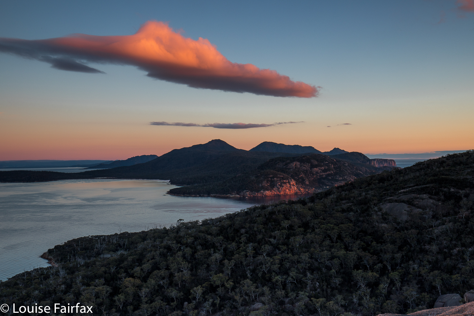
Early morning view.
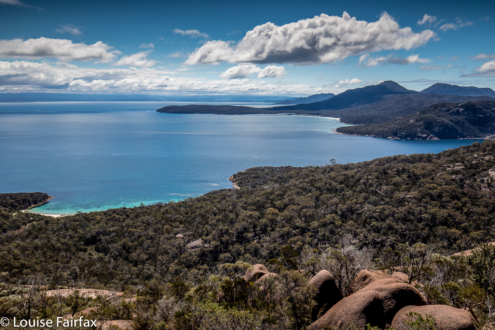
I particularly liked the fact that Bear Hill was not too far from the mainland peninsula, so the mountains of Freycinet National Park looked appealing from up there. Meanwhile, you could look down on the beach where the tent was, and the beach on which we landed. The little world of the island was laid out before me. Because I felt like having a workout, and the others wanted to enjoy themselves, going at a more leisurely pace, I did this one solo, which gave me this little world to myself. Funnily, no one else (of three) had wanted to get up in the dark and do a dash for the top to see dawn from on high with me. I went alone. Penguins called to me as I left my tent.


And this is the view mid afternoon.

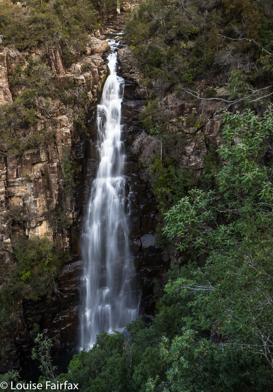
Meetus Falls 2017

Meetus Falls 16 Aug 2017
It has been raining for ages. Where I park at the gorge, the water was so high that the huge skip garbage bins were floating, and my car was an island, out of which I had to leap in order to keep my feet dry. (Funny that no other people seemed to try this method of parking). Surely this was a great day to find the Lost Falls (that only flow under such conditions) and their nearby neighbour, the Meetus Falls.


Above are some beautiful cascades that are below the Meetus Falls proper, on the Cygnet river.
The Lost Falls were a lost cause (http://www.natureloverswalks.com/lost-falls/) – that is, we found them, but they lacked water. However, the Meetus Falls were flowing nicely. Tessa (dog) bagged both, as did my husband. And they both reached the river at the base of the falls. The path down had been very muddy and slippery – so much so that I led them on a quasi bushbash on the way up. It wasn’t really a bushbash, in that I followed what must be a path from yesteryear, still mostly discernible on the ground, and much easier than the route we were supposed to be on, which was mud with no catching points.


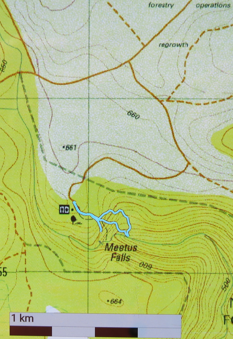
To reach these falls, drive to Campbell Town, and turn east along the Lake Leake Road. Continue on past Lake Leake (and Lake Road that leads to it), and past Kalangadoo – the petrol station cum general store further along on that road – until you come to a huge intersection with traffic islands to each side. For Lost Falls, turn right and drive “4 kms” to their turnoff proper (see the blog on Lost Falls for exact details). For Meetus Falls, turn left (north) and drive 11 kms. A turnoff will then direct you right to the falls. At one stage in the final section there is a Y-fork with no signs. I chose right (see map below) and found the falls. On the return, when heading back to the Lake Leake Road, I came upon another unsigned Y-intersection which presented me with a choice I didn’t feel like making. I chose left and found the highway, but kept wondering if I should have taken the other alternative. I was very pleased to find the traffic island and advisory hut that signalled the approaching major road. I was starving by this stage, and didn’t feel like being delayed by error.
Lunch at Zeps was as delicious as ever, and made more so by my extreme hunger.


Just for your interest, the path going down (the more northerly section of the circuit I made) is the official one. The more southerly part was, firstly, me getting a better view, and then us going straight back up rather than re-using the mudslide. The conditions were far too slippery for me to attempt a traverse over the rocks to the actual base of the falls. Another day, a different pair of boots.

Lost Falls 2017

Lost Falls 16 Aug 2017.
The Lost Falls have lost their water and probably lost all hope that I will return to them, for, if a waterfall can’t produce water when the state is drowning and all the other waterfalls are pumping away furiously, what hope does it have?


This is not my photo, although it is my edit. Cadence Kueper, and excellent photographer, had far more luck than I did when he visited. This is his shot and his copyright. I wanted to show you what you were looking for if you got a good day.
As we approached, the sun was shining to ruin my chance of a nice long exposure of the flow, and yet it was raining so as to destroy my beautiful lens, and spoil the photo with droplet smudges. Yes, yes; it was pretty silly to come out in this weather without an umbrella for my camera, but I have a lot to organise, like a dog and a husband. This was not going well. It was freezing at this location, with a strong wind blasting us as we made our hopeful way to the viewing point. Luckily, it was only five minutes from the car. The gorge is very impressive, but the lack of water was not. I didn’t bother to photograph such emptiness. I hadn’t brought my arctic gear, so we retreated quickly, and hoped the Meetus Falls would be better. They did not disappoint.


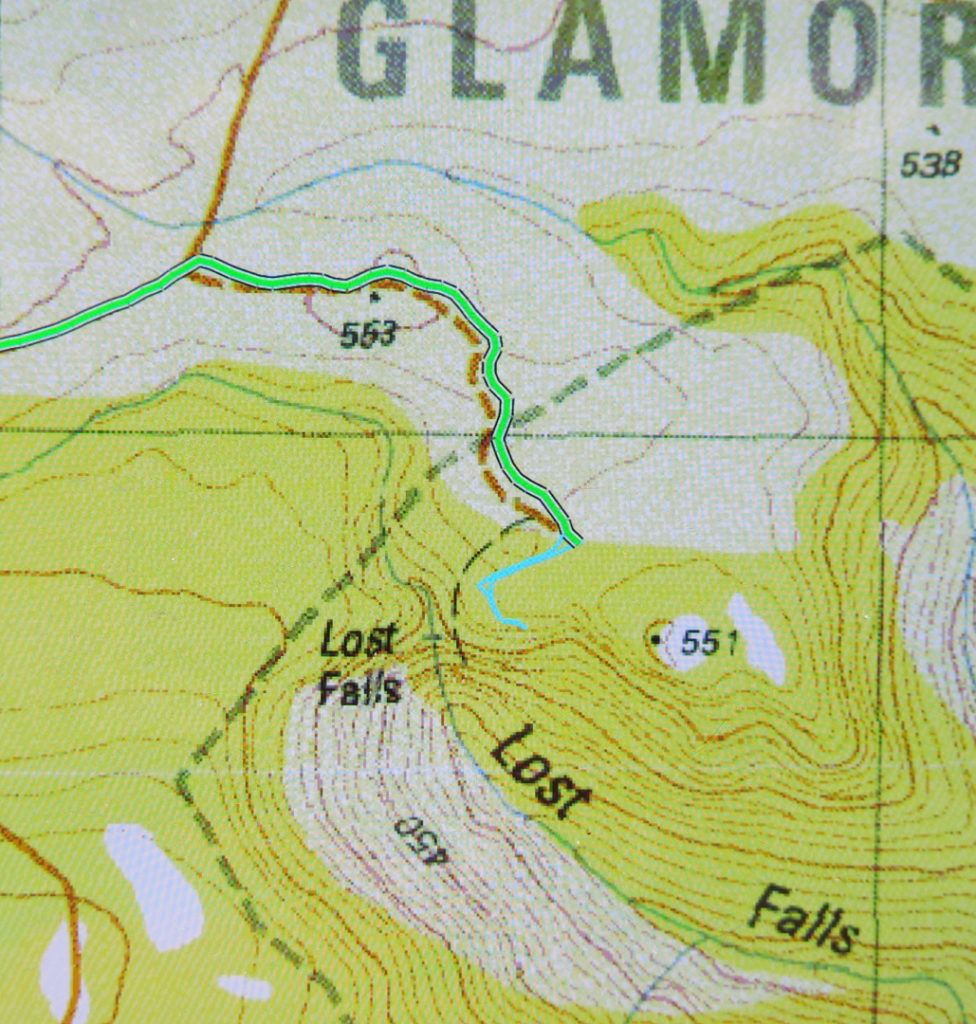
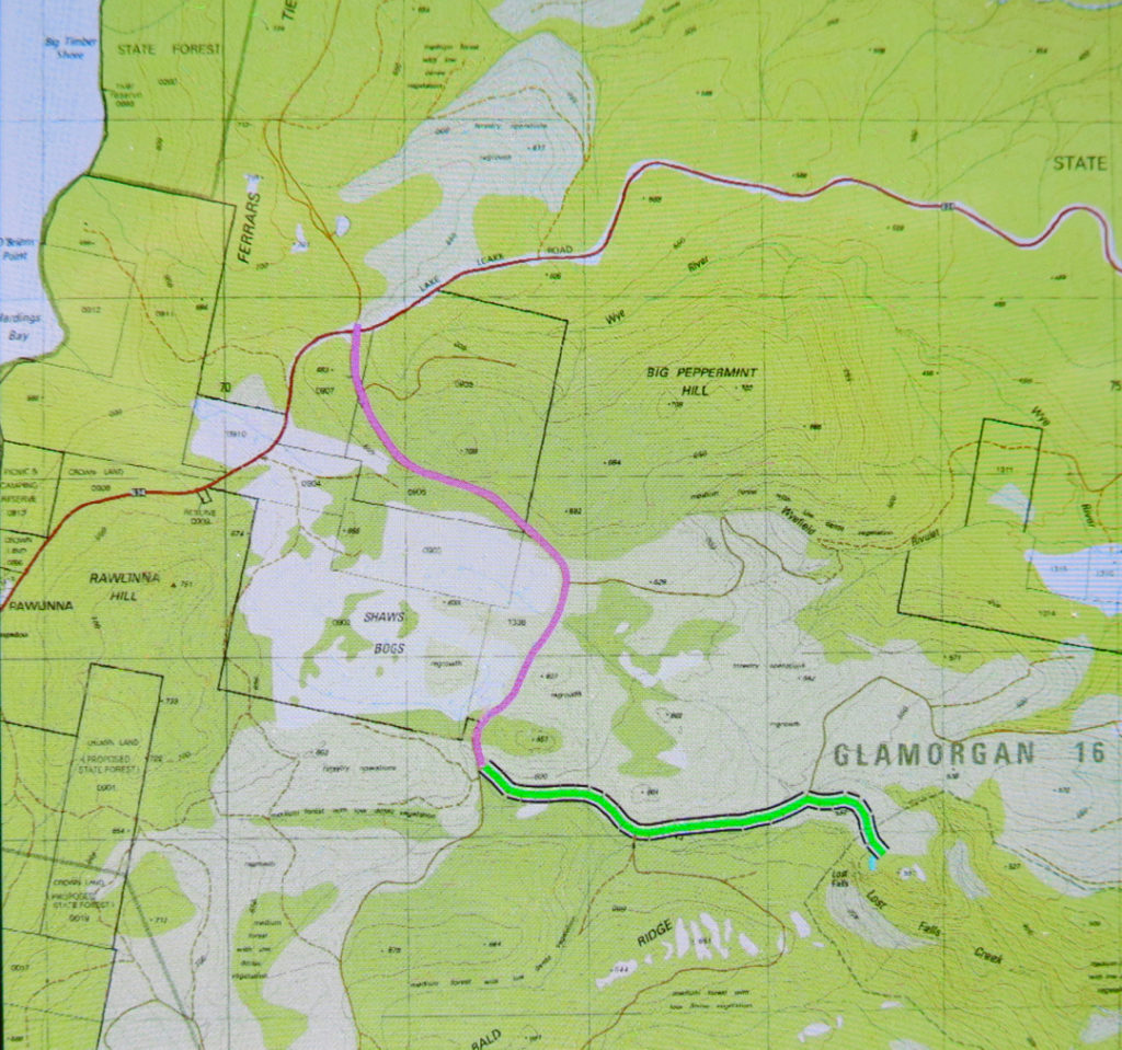
To see this Lost Gorge (I refuse to talk of Falls), drive to Campbell Town, turn east to Lake Leake Road and continue to drive past Lake Leake, and past Kalangadoo (the petrol station cum general store on the right after Lake Leake as you head east) until you reach a rather major intersection with two traffic islands to attract your attention. They’re possibly there to suggest you don’t turn at 100 kph, and that you watch for incoming trucks. For Lost Falls, turn right (South) and drive “4 kms” as the sign directs you (Lost Falls Reserve, it calls your destination). You will, after 3.3 kms, turn left and go 2.6 kms along this road until you reach the parking area which also has a shelter should you want to eat there. Just before you reach your destination, there is an unsigned fork in the road. The right hand fork will get you there (see map below). You’ve nearly arrived.


On the enclosed map, the magenta section of 3.3 kms is the first part after you’ve turned right;  the green part of 2.6 kms is the next bit after you’ve been turned left by a sign (you’ll see the fork I’m talking about near the end there); the tiny cyan bit is the section where you get to stretch your legs and see the view.
If you then want to find a waterfall that has water, go back north to the big intersection, and continue north on the same dirt road for another 11 kms until directed to Meetus Falls ( http://www.natureloverswalks.com/meetus-falls/).

New Town Falls 2017 Apr

New Town Falls April 2017


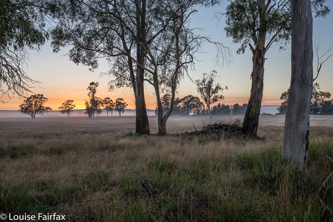
Sunrise near Campbell Town.
I have obviously been romanticising about the amount of rain Hobart has had of late. I thought there’d been enough to give the New Town Falls a bit of a flow, and as I had other business to do in that fine city today, I decided to balance the boring act of driving with a beautiful walk to a falls.


Well, the drive was not boring in the slightest and thus needed no counterweight (we had the most spectacular sunrise with misty effects near Campbell Town), and we did get a beautiful walk to the falls. The only negative aspect of the jaunt was that the falls were not falling. In fact, so dry were they that I didn’t even take one single photo of the matt cliffs that were now exposed, looking all dull waiting for rain. Anyway, we now know what the trail is like (see directions below), so are well informed for our next, hopefully wetter, attack. And meanwhile, our dog claims to have bagged yet another waterfall. She’s building quite a collection, and finds waterfall bagging to be a terrific sport.


Route: We followed the Lenah Valley road to its terminus, and began walking on the “road” over the creek there (New Town Rivulet) and up the hill on the Lenah Valley Fire Trail, of firetruck width (as is appropriate for such a trail). Ten minutes after beginning, there was a much narrower Lenah Valley Trail – of single human width and going steep uphill – that hived off to the right of this main wide trail. There was a chain handrail, and some steps after a few metres. This narrow walking path continued to follow the same rivulet that the wider track had been pursuing. This stream is not the one that the falls are on.


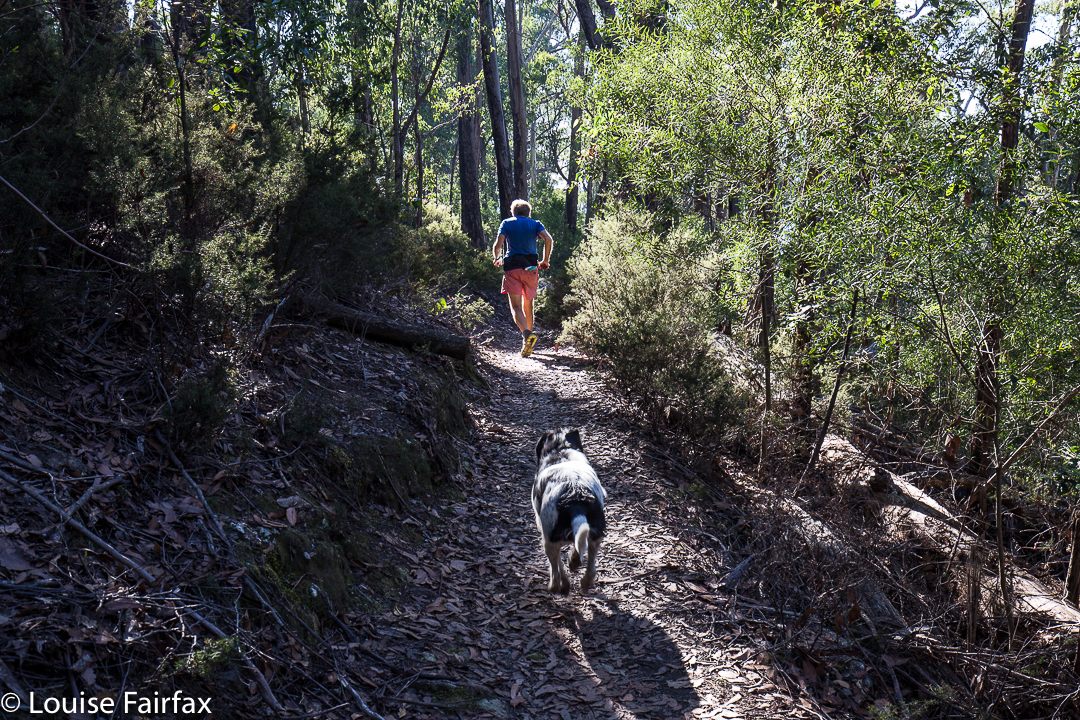
My husband, hurrying to get out of the road for my photo – but I wanted him just there, right where he was in that patch of light.
After ten minutes on this pleasant, mossy path, there was a Y-fork: the right branch, not the one wanted, continued up the hill on a trail that now sported the name “Old Hobartians Track”. Ours was the left hand turn, leading to New Town Falls, and also to Junction Cabin should one decide to go further. This continuation of the Lenah Valley Trail takes you around the nose of the spur to your left, and then delivers you to your waterfall. This section is mostly on contour. After a total of thirty minutes since leaving the car, we were looking at our empty falls.


Just before the falls are reached, the track branches into two, with neither offshoot being signed. The left (lower) one leads, predictably, to the lower falls, and the right to the upper. If you go to the upper first, you can cross the creek and then take a tiny path downhill to the lower. Cross again and climb back up on the path to where you first met the fork. This little circuit took us six minutes. We were not delayed by photography, sadly. It was then twenty three minutes back to the car. We were thus back in around an hour. Do remember that these times are walking only. Under normal conditions, add in time for photos and, if you’re lucky, for fungi spotting. Our walking times were half the recommended. We were not racing, and my husband has had Parkinson’s disease for fifteen years, so is no speedster. That said, he is remarkably fit still for a man with his terrible illness (or for any ‘average’ man, for that matter). Also, I am not sure that the circuit described would be possible when the creek is in full flow. Two people we met near the car said that in the depths of the wet season, it isn’t even possible to cross the New Town Rivulet where the cars are. They suggested phoning Hobart council to see if the stream is crossable before setting out if there’s been a lot of rain.
Total walk for the round trip, according to my gps, was 4.5 kms, with 238 ms climb, yielding 6.9 km equivalents.