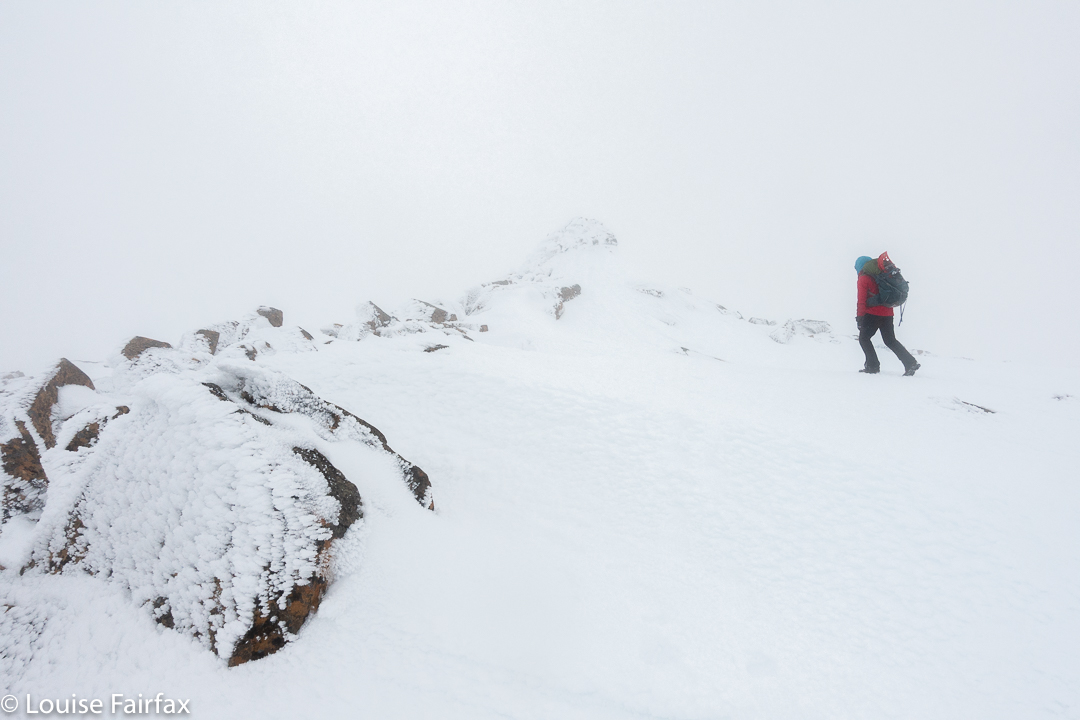
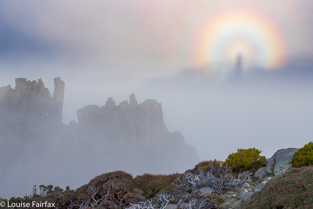
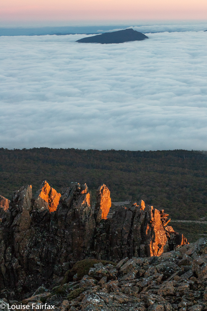
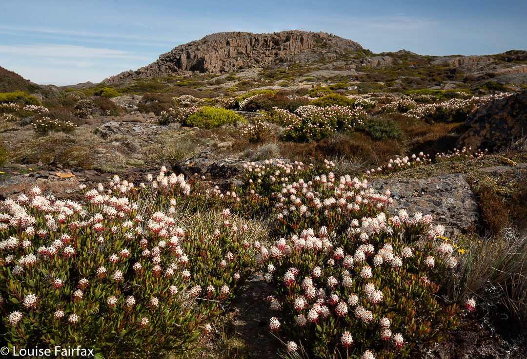
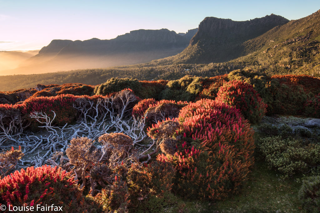
Lake McCoy – Mt Pillinger circuit 2020 Dec

The Mt Pillinger-Lake McCoy circuit has something for everyone. On this day, the final Wednesday of 2020, a small group of us who either don’t work or have organised our lives to have Wednesday off, had an amazing tally of wonders to let us know that 2020 was not all bad.
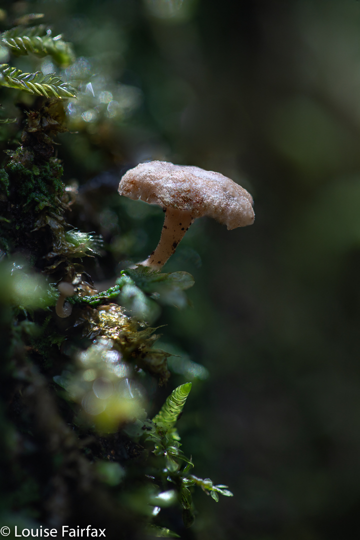
Mycena carmeliana was one of many fungi to make an appearance. This is an old one, but doubtless it had recently enjoyed the rain we have been having.

We saw two waterfalls, three wedge-tailed eagles (up very close; I think they liked my mauve parasol), several different kinds of fungi, masses of wildflowers, the view from the summit of Pillinger, several groves of magnificent Pencil Pines (Athrotaxis cupressoides), vast areas of bouncy and colourful sphagnum moss, a few wilderness valleys that we had not previously explored, and a new lake (Lake McCoy).
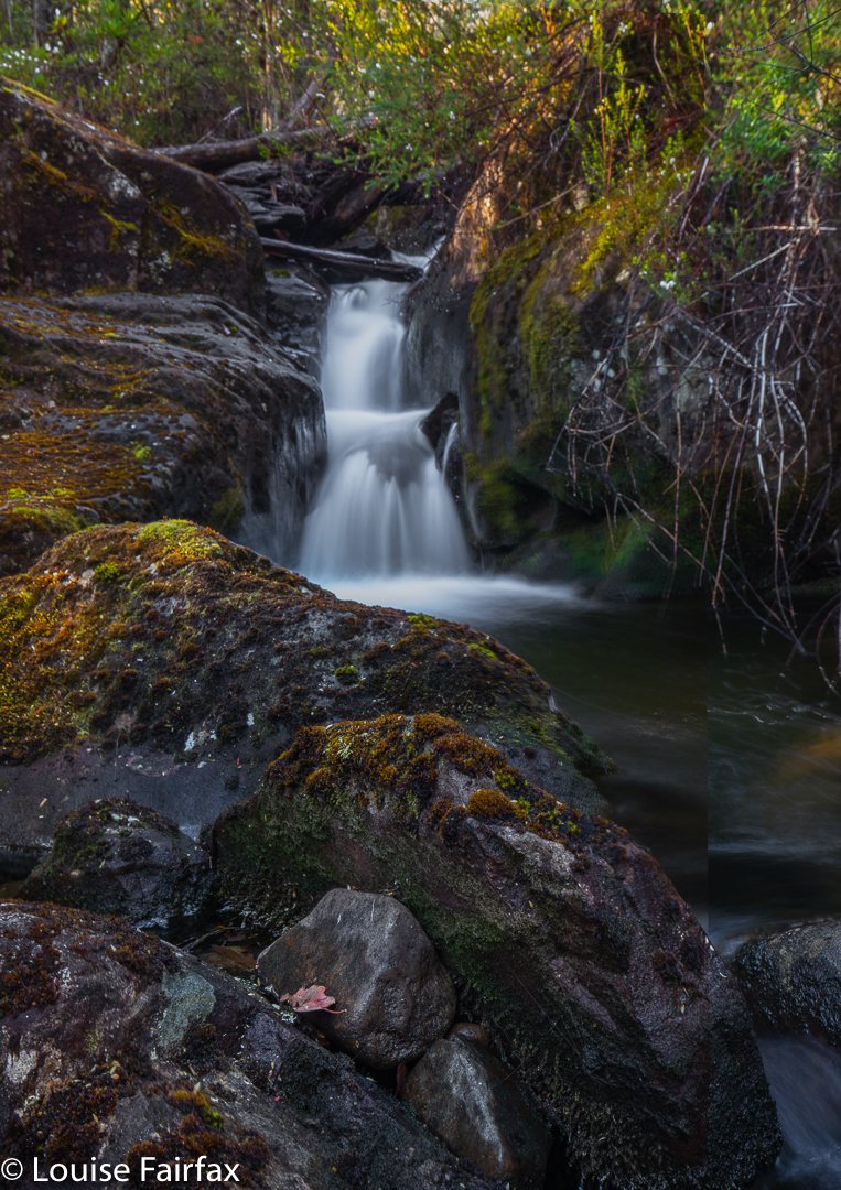
Arm R Tributary A Falls

This circuit can be done with equal enjoyment, I would think, either clockwise or anti-; we chose anti-.
We parked our cars at the end of the Magges Spur 17 road, and set out down the pretty clear track. After only seven minutes, the track (which ultimately leads to Mt Pillinger or to the Arm River main track, or to any number of other enticing locations) crosses the first of many unnamed Arm R tributaries. As they are nameless, I have just called the first one A, and the second B. The third creek, which we didn’t cross on this route, bears the actual name Arm R; the fourth and fifth are even further west again, and are also unnamed. Tributary A has a pretty little waterfall, shown above.
The second creek we crossed, I have with enormous imagination called Arm R Tributary B, also contains a waterfall worth photographing (see below). We were not getting anywhere fast, but that was never the purpose of the day.
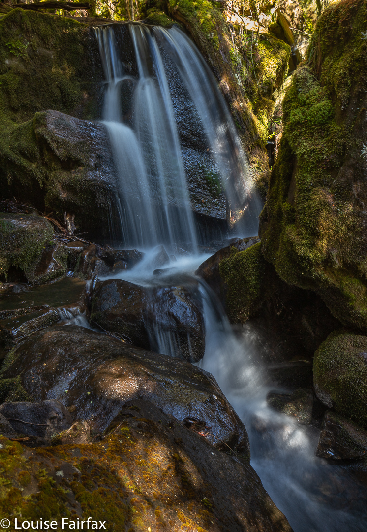
Arm R Tributary B Falls

Once we had enjoyed the rainforest, fungi and waterfalls, we climbed slightly (often beside Trib B) out onto the plain that eventually passes under Mt Pillinger. This area has fabulous Pencil Pine groves.

Arm R tributary scenery

One follows Trib B westwards until there is a saddle so broad and flat that you need a map to tell you it is actually a saddle. Out the other side of the slight swamp and down imperceptibly, you briefly meet the actual Arm R before turning south and beginning the climb up the main Pillinger gully to a saddle before the summit. I have always fancied sleeping in this saddle, or even higher, as there are many flat, clear spots, but water would need to be carried from the tarns of the Arm R at the base if that is what you want to do.
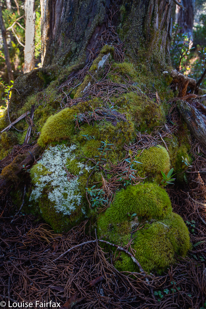
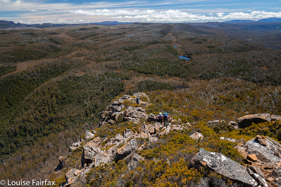
Pencil Pine base
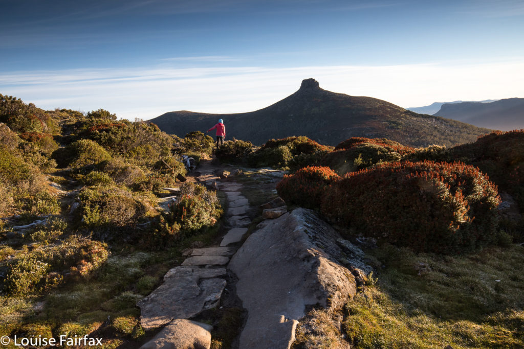
Pillinger summit

The view from the summit is pretty good, but I never actually enjoy summits in midday glare. The highlight up there for me was the appearance of three huge wedgies who kept circling us at close quarters. I take credit for this, as I’m sure it was the mauve parasol I was using to protect me from the sun that attracted their attention. Their eyes seemed quite focused on it, or so it seemed.
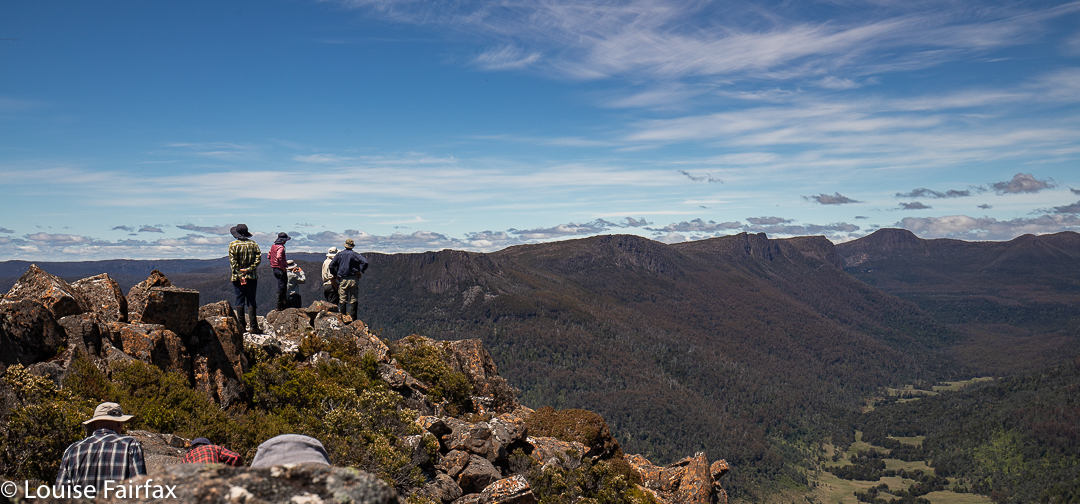
Pillinger summit

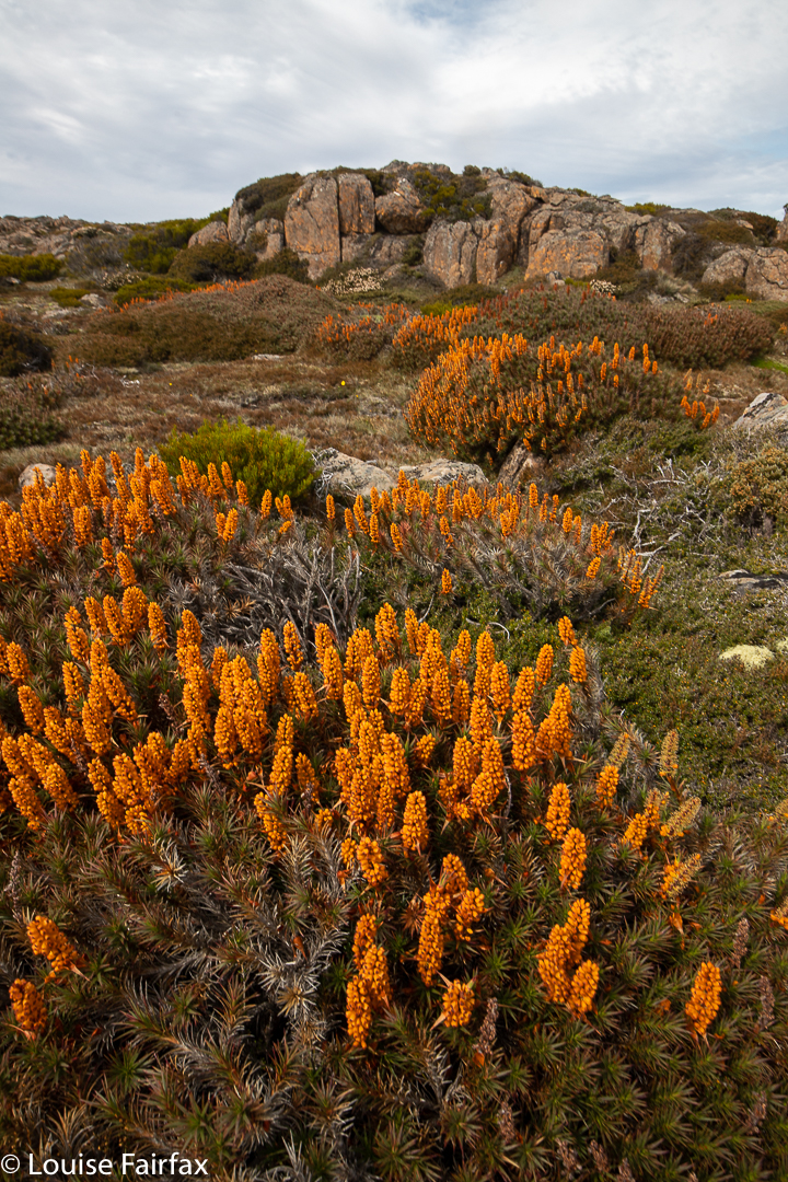
At last we were moving again, and this time, after the Pillinger saddle, in a different direction, south, to and then along a valley with calf-high alpine grass and colourful scoparia (nicely spaced, thanks), cushion plants, and a dainty creek with deep, clear water down the centre.
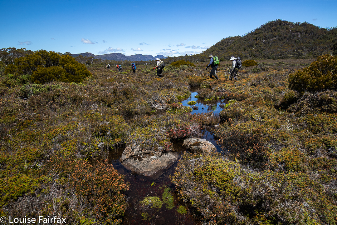
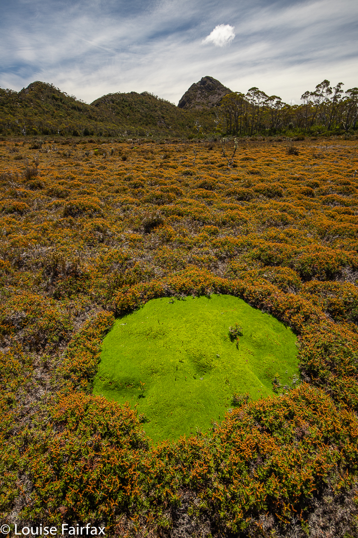
Along our second valley
Cushion plant in the valley

Our desired lake was to the east of where we were, so we had a couple of unpronounced spurs and appealing valleys to cross before we reached it.
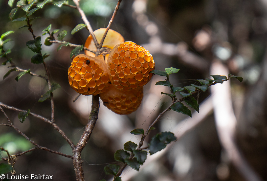
Cyttaria gunii in Pencil Pine forest near Lake McCoy
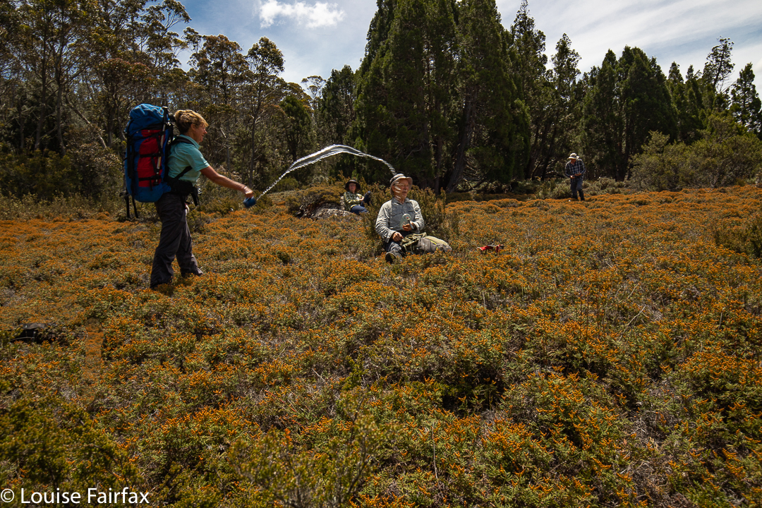
The day started at 4 degrees. It seems some of us thought it had warmed up enough in the early afternoon for a water fight.

At last we reached our lake; time for another afternoon tea.
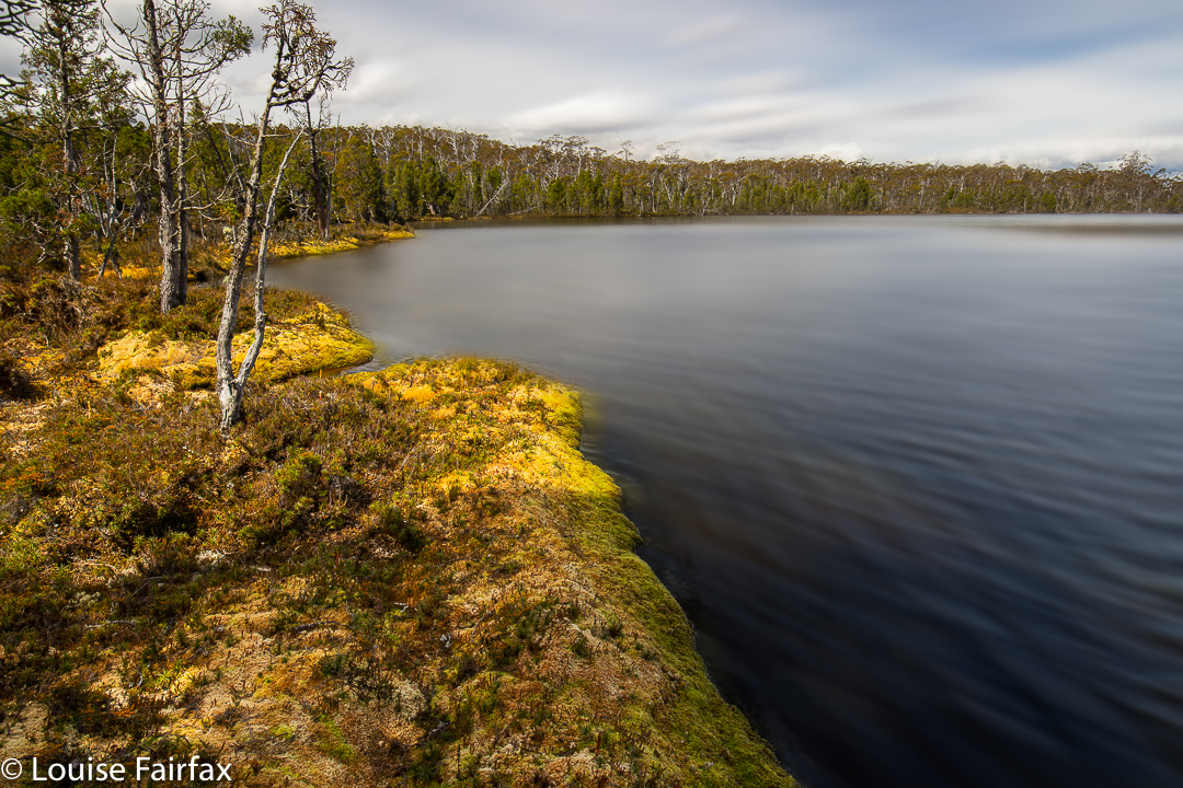
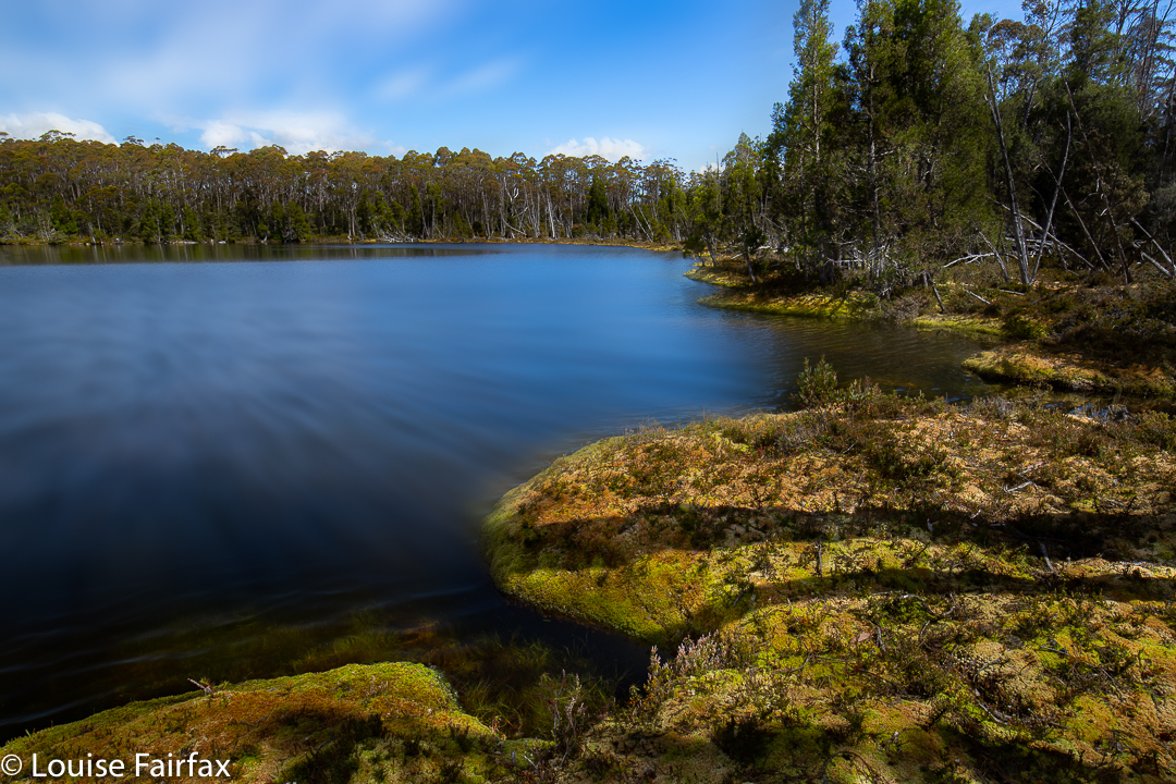
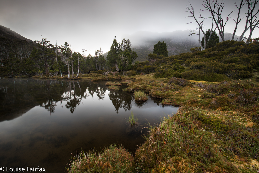
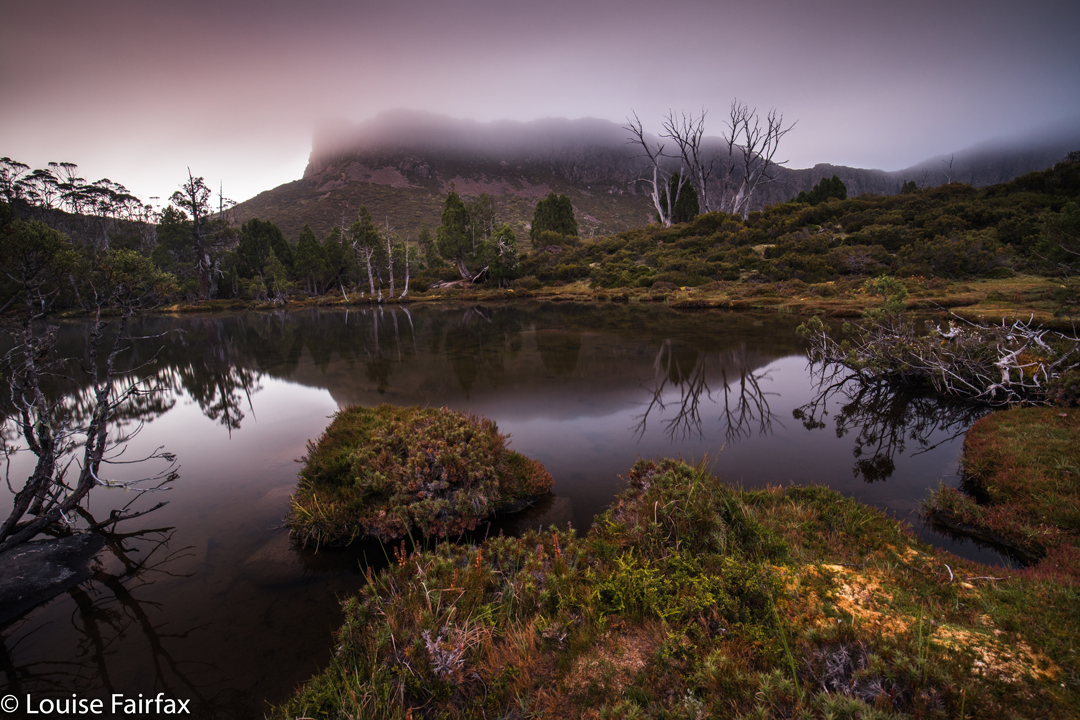
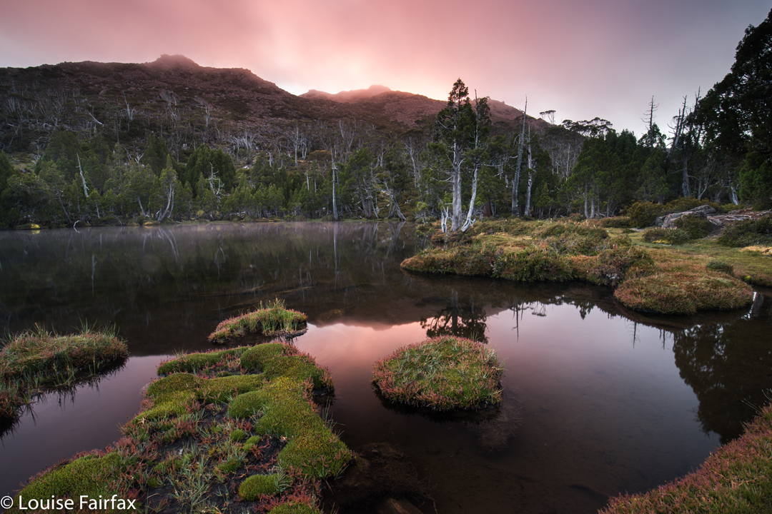
Lake McCoy

The stats are that we walked about 14 “horizontal” kilometres, climbed 382 metres, yielding 17.8 kilometre equivalents.
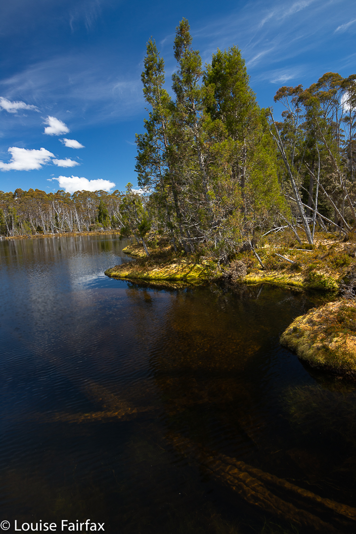
Lake McCoy

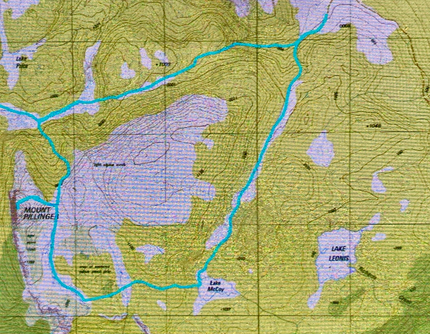
Lake McCoy route.

Ben Lomond. Markham Heights, Stonjeks Lookout, Whymper Crags, Hamilton Crags 2020 Jan

When we first bought our home and looked out the window, we saw a mountain that everyone calls Ben Lomond. I can see it clearly enough from my bed to know whether there’s any snow, or whether it’s smothered in clouds today, which is kind of handy. Years later, I learned that ‘Ben Lomond’ refers to the whole high plateau; the actual highest point on that overall rather flat but high massif – indeed, the second highest point in all Tasmania – is called Legges Tor, a lump higher than the rest perched above the small skiing area.

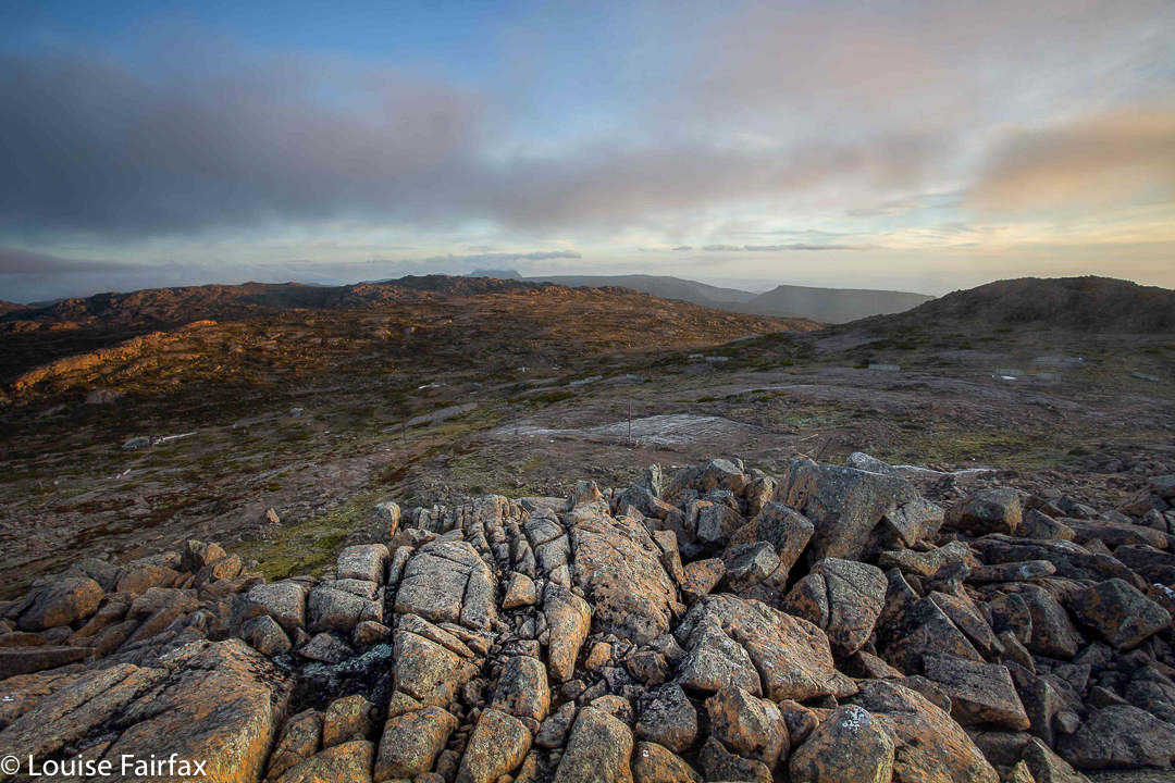
Legges Tor summit view, Ben Lomond

To stand atop Legges Tor in summer, is to survey a high, windswept plain, rocky, almost featureless in its barren expanse of broken dolerite. Other very high points are only just visible in the distance, and their shapes do not demand your attention. This is very different from being, say, in the dramatic Western Arthurs, but with your hair blowing in your face, and a chill in the air, you can see for great distances, and the emptiness – the sheer volume of negative space – somehow enlivens your senses and makes you feel fresh and refreshed. Dolerite rocks with their patterns of lichen and tough little alpine bushes earn your respect for their ability to inhabit this inhospitable  zone. It is not crowded up there, to put it mildly, adding to the sense of desolation that is characteristic of being there: you feel tiny in the presence of such enormity, which leads to a feeling of the sublime. If you want a ‘Wuthering Heights’ experience, then this is as near as you can get. For me, the only other place that feels the same is Iceland.

Legges Tor winter ascent

There are heaps of lumps and bumps to climb up here, but in this blog, I will concentrate on the ones I have climbed in the last eight days, namely, Hamilton Crags, Stonjeks Lookout, Whymper Crags, Markham Heights and the Plains of Heaven.

Stonjeks Lookout from Hamilton Crags (a selfie ha ha)

Hamilton Crags pose little mystery for me, as I have ceased to tally the number of times I have visited the top (not that I’m sick of it). Summitting yet again was just something to be done on the way to Stonjeks Lookout. Now, this WAS fun. What an impressive-looking bunch of congregated rocks, pointing to the sky and offering their challenge.

Stonjeks Lookout catching the sun

It seems that Tony Stonjek, after whom they are named, was also oriented to reach for the sky. He was a champion skier who had represented the Czech Republic (then called Czechoslovakia), and who arrived in Australia as a refugee after the war. As a child, he skied to school, skied down the 150 steps of his church, and skied across the Polish border to pinch wood. He won so many skiing titles in Tasmania that most people lost count. The rocks have added spice if you familiarise yourself with his history. They are demanding and fun.
The third item on that day’s agenda was Whymper Crags, which are just further along the spur than Hamilton, and which, at their highest point, offer commanding views to the Jacobs Ladder approach to the massif, and to the cliffs that form the lower part of Markham Heights. One sees Whymper Crags every time one drives in, so it’s good to have at last climbed up there.
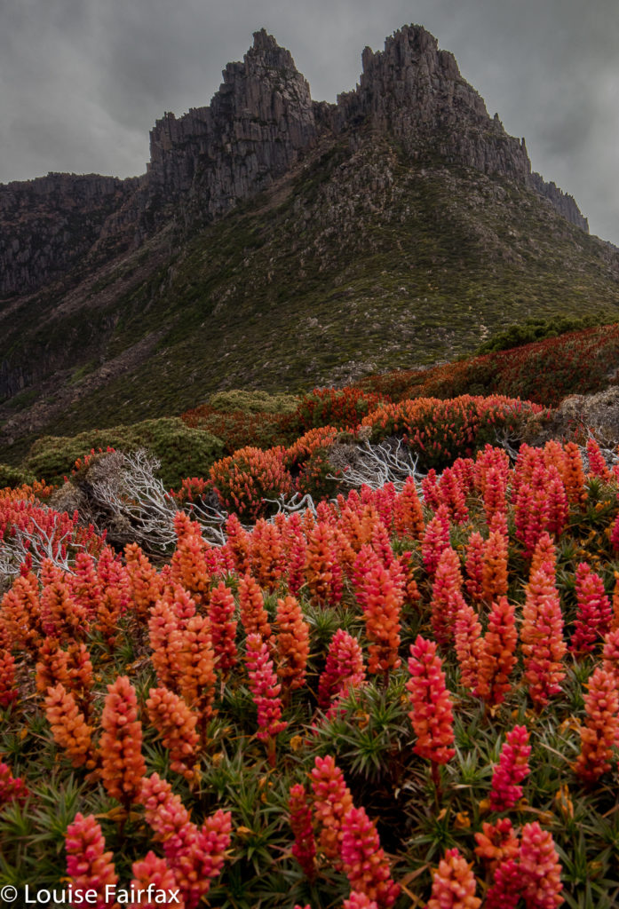
Markham Heights, rear end with bellendena montana (Mountain Rocket) in foreground

One sees a lot of Markham Heights, too, and yet I have never visited them. I decided that today was the day. I didn’t have a clue how long it would take. All would depend on how rough it was along the tops, and whether the scoparia would pose a problem on the approach.

Markham Heights does have interesting angles. (Taken in winter)
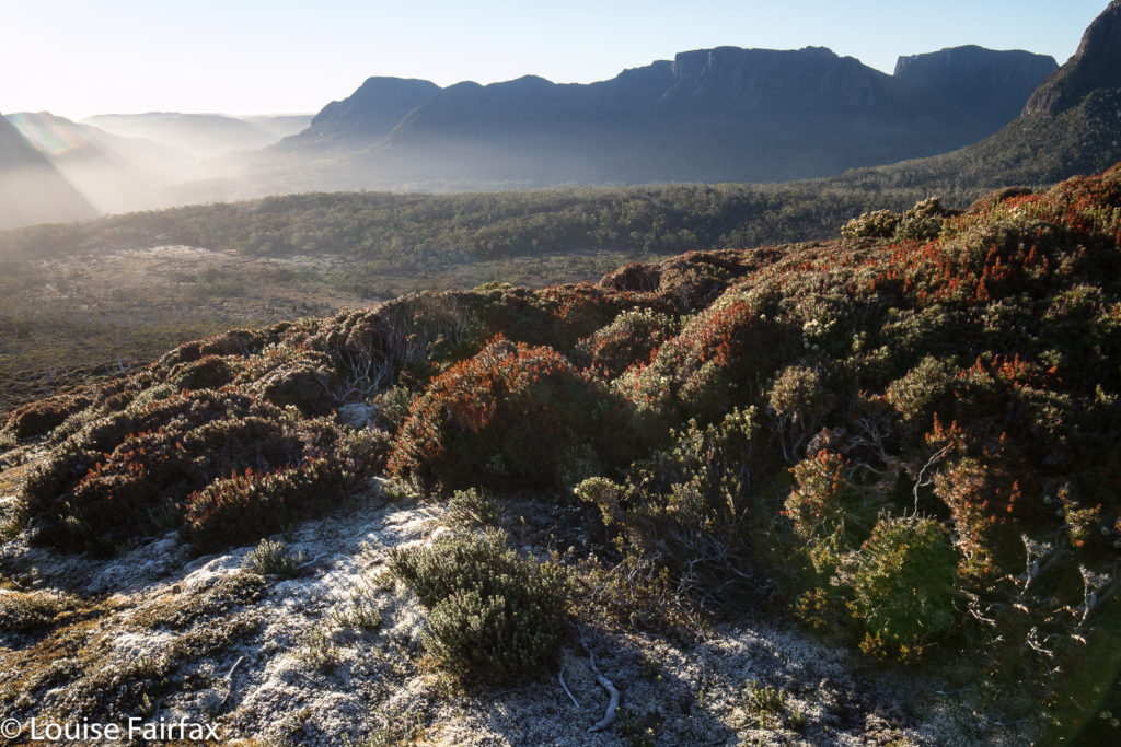
Just in case the scoparia was nasty, I decided to use the Legges Tor track to gain the height I needed, and then hive off right when the opportunity looked good for a lead in the direction of Markham. There seemed to be a line of weakness in the marshalled defences of the scoparia slightly before the highest part of the broad spur heading in its direction, so I took it, figuring if I was wrong, I could climb higher later. Markham Heights did not lie on this particular spur: it was just a kind of feeder.
Scoparia near Markham Heights summit

There were appealing little lanes of Pineapple grass and other low-lying alpine vegetation so I could make handy forward progress: handy, but not speedy. Predictable at the height of 1500 ms, the wind was quite strong (this is February, but I had two Icebreaker layers, two coats and two hoods over my head), and it kept blowing my hair into my eyes. One had to search for the leads: they didn’t yell their welcome at me, so I zigged and zagged about the place, avoiding prickles, and eventually found myself reaching the summit one hour after leaving the car.

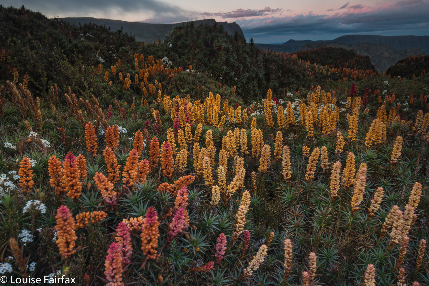
Scoparia in bloom – and it’s 22nd January!!

I was enjoying being up there, and so also visited the next lump along to the west, which is nameless, but which stands at 1534 ms asl. It had a cairn that had called me over. For my return route, I decided to use the spur that ran parallel to the valley I had come by. What a terrific fluke of a decision that was. This area is magic. The scoparia had been surprisingly good for this time of year, but on that spur, it was amazing, especially with the added colour from the flowing bellendena montana. Daisies and other flowers were also out. The walking was even easy, as the scoparia was a little thinner on the ground, and there were huge cushion plants as well. As usual, the were countless mounds of wombat poo but no wombats. Three wallabies hopped away, but that was all.

More scoparia. (No reds or pinks here)

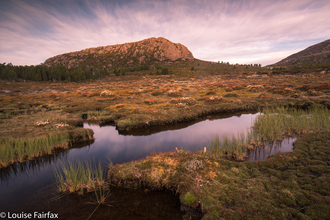
This spur had a cairn at its highest point, so I went and touched it. It was just the world, the wind and me … and all those flowers. What a beautiful place. When I got home and stared more closely at my map, I saw that it was called Plains of Heaven. What a prefect name. I wonder what it looks like when the scoparia bushes are actually in season rather than just popping in here and there for a late show. I’ll let you know eleven months from now.

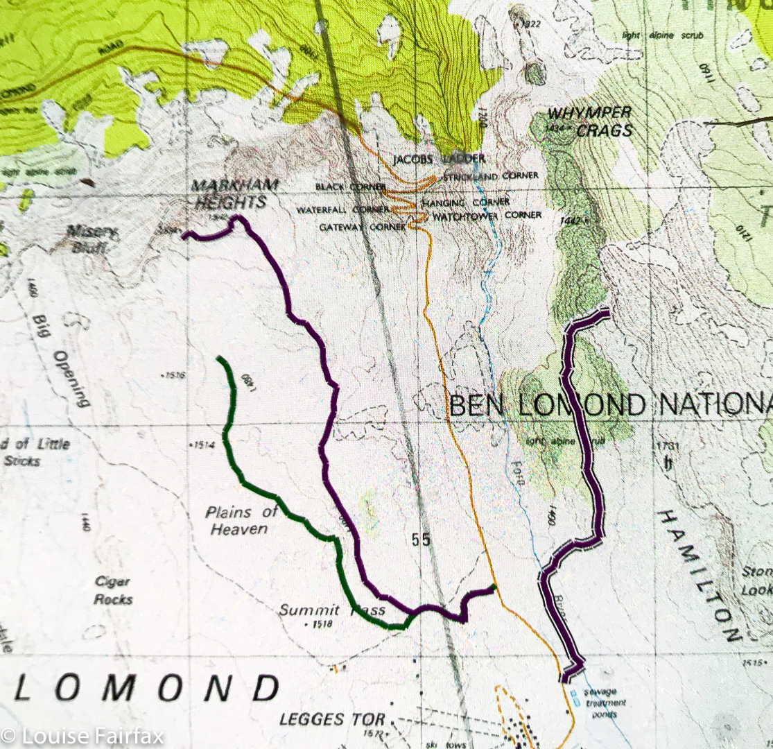
Markham Heights route

Above are three routes: far west is part of my route back from Markham Heights (sorry, I bumped the tracker off); middle is my route to Markham heights; far east is part of my route back from Whymper Crags. It only occurred to me part way through the journey that people might like a copy of the route. It all seemed terribly straightforward, but there it is anyway.

Walls of Jerusalem 2019 Jan

Walls of Jerusalem in Summer. 2019


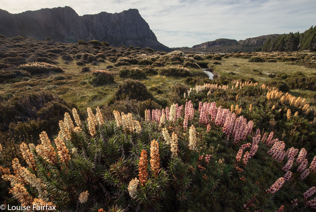
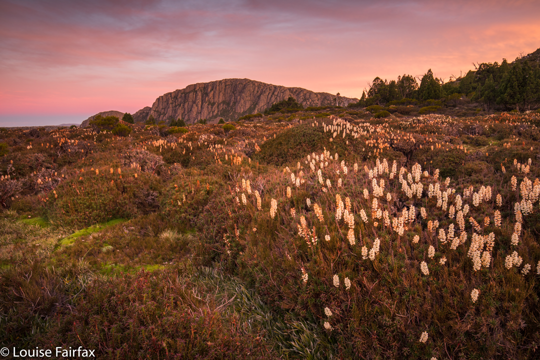
It has been a long, long while since I have visited my old playground – the Walls of Jerusalem – in summer. For the last few years, we’ve only gone there in winter, in glorious snow. However, I was in the mood for chasing scoparia, and, even though the season for this beautiful flower was nearly over, I hoped to catch some isolated specimens still in the flush of glowing youth.

I made this decision on Saturday. On Friday, I had been so busy I was still collecting peaches at 10 pm, and making jam until 11. Next morning, it rained more peaches on my head, so I made more jam, and then spat the dummy, asked my neighbour if he could mind Tessie (dog) for a night, packed my bag hurriedly and left. I was starting just a little late, but it’s not a long walk in. I’d be there before sunset. I was at Herod’s Gates in just a click over two hours’ walking, which was pleasing, so I could climb The Temple while waiting for sunset and generally roam about exploring various pools, deciding where I wanted to be when and if the sky gave me some colour.

I dumped my pack – I’d attend to matters of actual accommodation later – set up my tripod and rampaged to and fro and up and down. Bushbashing with a set-up tripod and camera sporting its fragile filters makes for an interesting diversion, but I managed. I nearly missed good views for sunset, having not quite timed myself to be in the very best spot for the best lighting, but I didn’t miss by much, and did get light that pleased anyway.

During the night, I didn’t get much sleep. The stars were so lovely, and just being alone in the wilderness so beautiful, that I didn’t want my tent fly to spoil the view of the stars. I woke at 1.30, too cold to sleep. I put on extra layers, but left the fly up. I just couldn’t bring myself to block off my beautiful view. At 3.30, I was so tired, I admitted defeat, and closed it down. I didn’t know another thing until my alarm went off at 4.45. Time to get up and get into position for sunrise. Yawn.

 With so little sleep, driving home was a very dangerous business. I could feel myself staring into space and losing focus – terrifying danger signals for me. I saw a sign that said “Coffee”, but I didn’t know this place. I was in the middle of nowhere. It couldn’t be good coffee. But then, I reasoned, this is my continued life we are thinking about here, so I did a U-turn and decided to inspect this building. What a find. It’s called Earthwater Cafe, and is 3 kms west of Mole Creek on the road leading to Marakoopa Caves and the Walls (and Lake Rowallan).

The owners only opened in December, yet already the place is very popular, and with good reason. The coffee was excellent, the vanilla slice right up there on a short list of best-ever v. slices, and the garden I sat in to relax and imbibe this much needed food (I have forgotten to mention I was so busy photographing last night I didn’t bother with any dinner) was shady, welcoming, and idyllic. I want to return to re-experience all three (coffee, food, garden), although I might try the prune and apricot tart next go, just to try more things out. The staff couldn’t have been friendlier. I loved it.

Thus fortified, I made it home alive. I was in much greater danger this week from fatigue than I was the week before from fire.

Scoparia hunting 2018

Scoparia hunting 2018 Dec

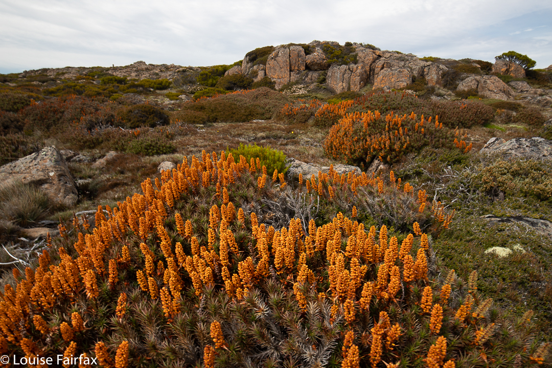
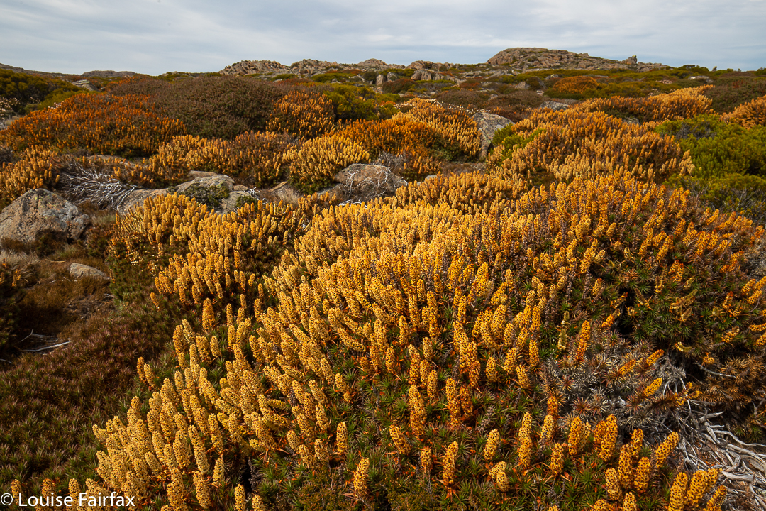
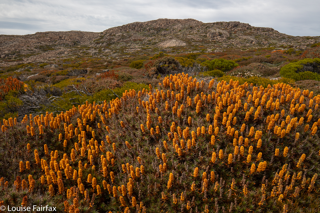
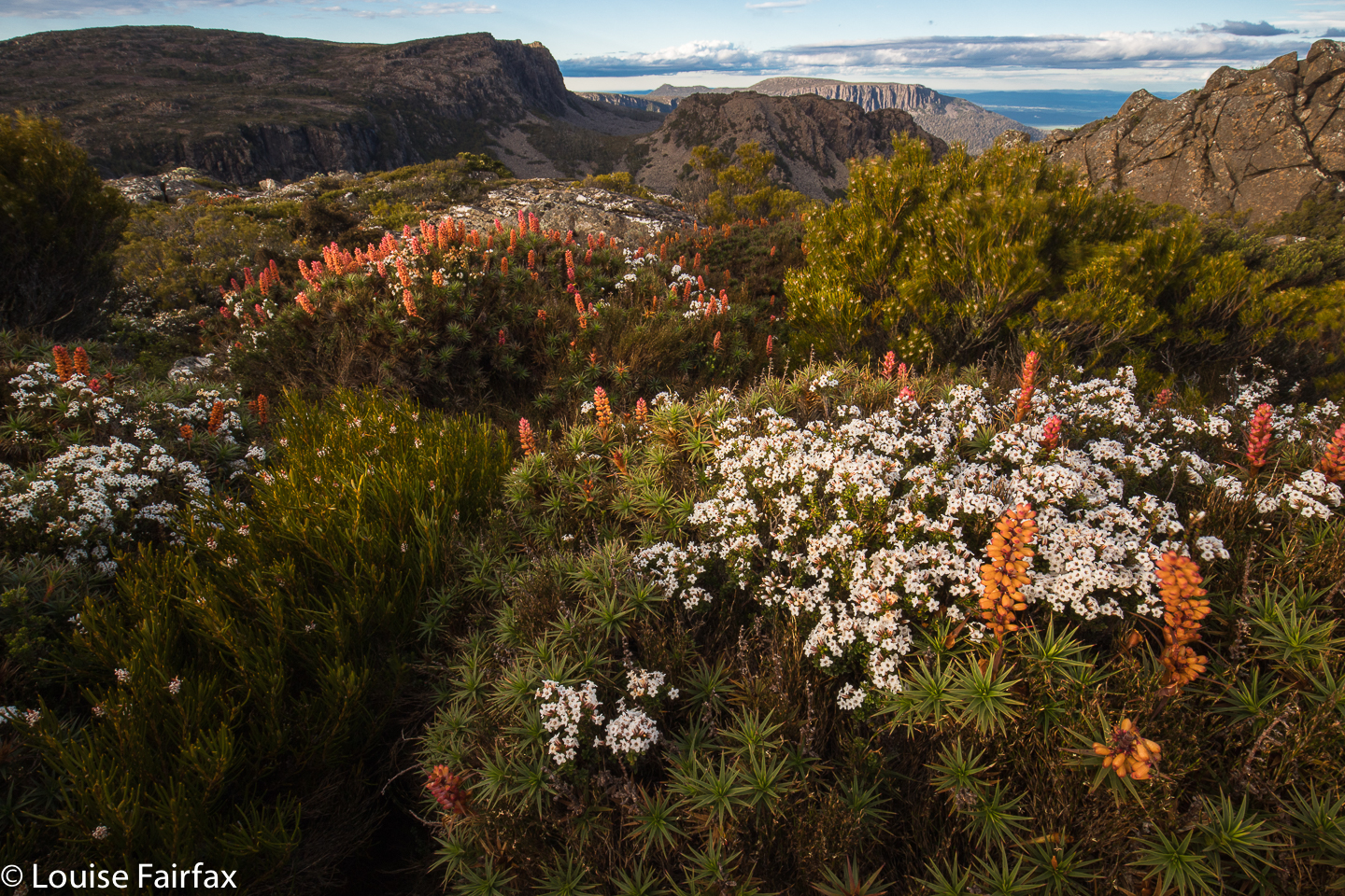
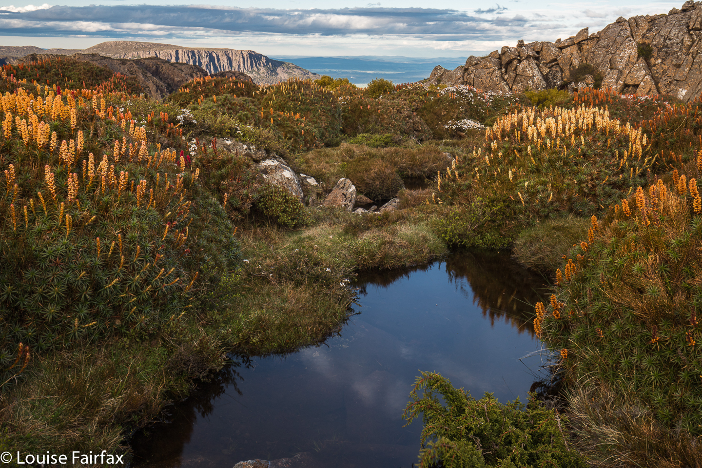
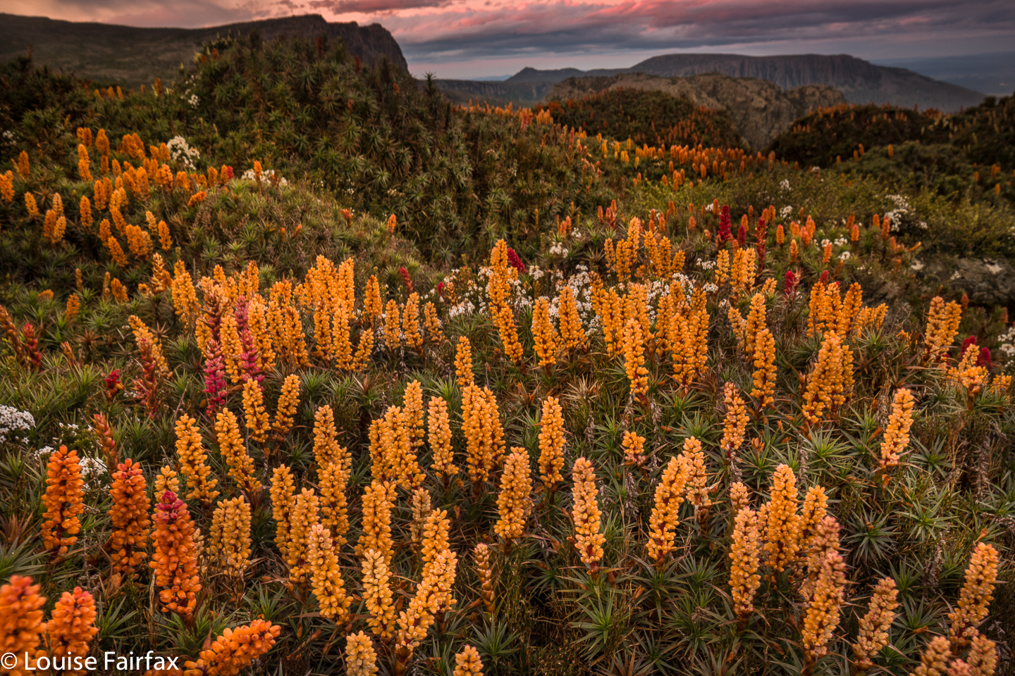
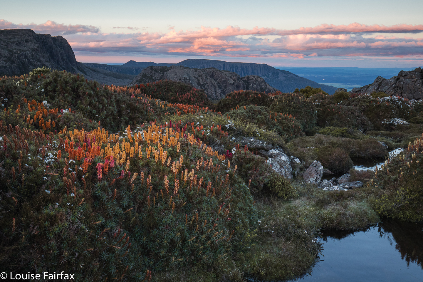
My photo collection for 2018 has a disproportionate number of images of beautiful waterfalls, and a sad shortage of mountains. As I love mountains even more than waterfalls, I decided I’d better use my single chance before Christmas to get myself high and hunt for scoparia while I was at it.

It is now very hard for me to get into the mountains, as Tessa (my dog) misses Bruce as much as I do, so I feel terribly guilty any time I leave her, and most mountains are in National Parks, so she has to miss out. Into the kennel she went in the early afternoon on Monday, and I promised her I’d be back before twenty-four hours had elapsed.

By mid-afternoon I’d parked at the Meander Falls carpark, and was ready to do the climb. Hm. All this waterfall bagging, even though I do it with an 8 kg pack of camera gear, is still no apt practice for a real pack. I guess it doesn’t help that I’ve been laid low with a virus in the last three or more weeks. Every time I run, I take several steps backwards in overall recovery …. and I keep on running.
And so the walk into the actual falls felt unusually steep and lasted far longer than I expected (1 hr 48 instead of under 1 hr 20). I feared the climb up high would take double my 30 minutes of last time (packless), but luckily I was wrong, and it took the same. I was pitching my tent by 5.30, with plenty of time to sort out shooting locations.

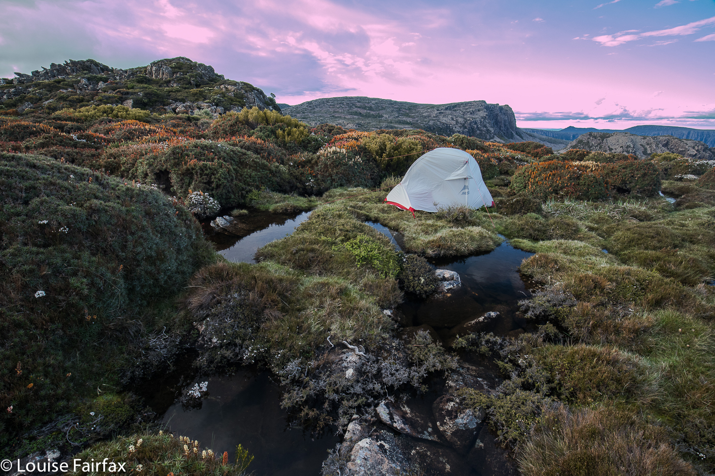
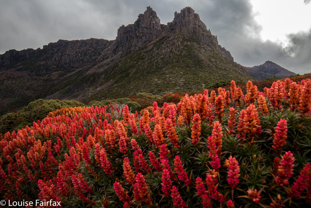
Actually, I took far longer to choose a tent site than to choose anything else. The wind was fierce up there, and I only had my light three-season tent, so I wanted shelter from the west. I keep ducking to the leeward side of scoparia shrubs of a decent size, but the wind just dashed around them. I needed a big clump, or a rock. On and on I went , searching but not finding. In the end, I got a spot bang in the middle of a multi-coloured scoparia thicket, almost completely surrounded by water, and, well, the shelter was about as good as it was going to get. And now that it was time to pitch, it started raining lightly. The wind picked up. The clouds amassed. So much for photography.

Pitching was a challenge in that wind. I haven’t pitched this little tent before in anything but ideal conditions. Every time I attached the fly to one side and dashed around to attach it to the other, the wind whipped it up and threatened to send it back down to Meander Falls. I decided it was lucky it was only 5.30. If that happened, I could still easily retreat with safety, even if not with dignity. Somehow I broke the rotten cycle, and she was up, and the inside hadn’t got too wet with all my bumbling.

It was not good lighting for photography, but I feared it was as good as it was going to get, and I had carried my pack for two and a half hours to be here. I wanted some bang for my buck, so went out and shot anyway. Hm. Problem. The ground was so spongy that the tripod moved during long exposures. Hand held it was, which made using GND filters challenging (as they require longer exposures), so all the early ones have skies that are too light. I thought that was “it” for the night, so retreated to my tent for “dinner”. (The food was NOT a highlight of the trip.)

Once when I was in the Western Arthurs and had grey, drizzling weather, I was sitting in my tent sulking at the injustice of it all, facing east, and nearly missed one of the most beautiful sunsets of my entire life. It lasted only maybe five minutes, but the sun found a spot to pierce through the heavy cloud, and illuminated the whole world in pinks and purples of a wonderful hue. I wasn’t going to make that mistake again, so kept checking for the possibility of a sunset. Proper sulks are not a good idea. Luck was with my vigilance. For about five minutes, the sky cleared enough to allow golden shafts of light to streak across my field and turn the distant clouds pink. I was almost panicking, as I knew it wouldn’t last. Some shots were hand held, just in case, with monster ISOs, and then I risked long exposures on wobbling, unstable terrain.

Next day, I was very tired, as I had set my alarm for 4.40 to get the beautiful dawn I’d planned on. The world was dark, dull, fuscous. Reset the alarm for 5.10. The world was still utterly uninviting. Set the alarm for 5.30. As you can see, i was scared of dozing off and missing out should something eventuate. It didn’t. At 6 o’clock I breakfasted in the rain, on a day on which BoM had promised none, and then depitched my home, trying not to get things too wet. I am much faster and more efficient using my Hilleberg in the rain, but I had been promised none, so brought the lighter MSR. Oh well. Climbing down the steep rock scree now that the moss was slippery and my pack heavier was slow, careful work. I will be well-practised if I get to be a crab at some stage in my future.

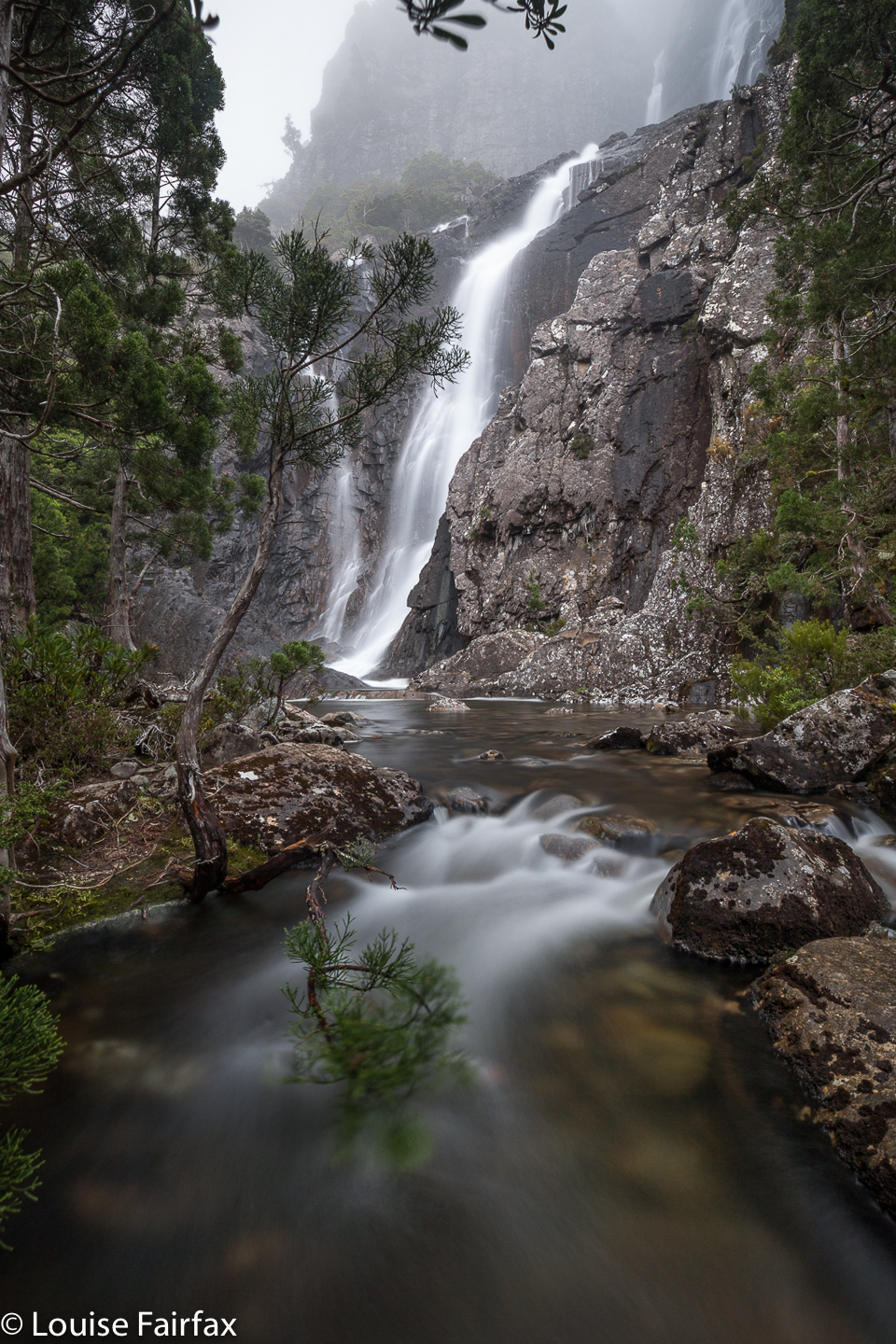
I wasn’t going to photograph Meander Falls, having already done so several times (and not finding it life’s most photogenic waterfall), but it was flowing so much stronger than I have ever seen it do that I decided I needed to. Besides, my arms were actually weary from all the four-points-of-contact work I’d just done lowering myself down the cliffs. The waterfall made a nice excuse to rest a bit before I continued on the wide tourist track to the car. I picked Tessa up before lunch, as promised. She yelped and danced and sang and bounced. What a greeting. I promised them I wouldn’t stay away three years next time.


Meander Falls.

Ossa 2017 Dec

Mt Ossa Dec 2017.

I was mesmerised by my visit to Mt Ossa back in December 2013, when I took a Swedish friend up there to sleep on the summit. What astonished me, amongst other things, was the beauty of the flowers along the way. (I was also captivated by the brilliant views, of course.) I hadn’t realised December was such a magic month in that area, and vowed I’d return with a better camera and a tripod for mach 2 some day. Unfortunately, it’s taken four years to find the opportunity.

This time, there was to be no Elin, and, worse, no Bruce. Off I set anyway, not sure how things would be. I can’t predict my moods these days.

The first part went pretty well, and I was in at Pelion Hut in under three hours, despite my heavy camera gear, and definitely ready for lunch. I hadn’t got away from the carpark until 10 o’clock, so it was not an early lunch. Light drizzle had meant that stops along the way were not really wanted, so I was in need of a good rest as well as a decent feed. I ate my salad roll with gusto. Drizzle changed to steady rain. The world turned dark grey. My spirits are not buoyant enough to deal with that at present. I decided I should turn around and go home, and count this as a good training exercise. I didn’t want anything in this weather other than sulking chez moi with my dog.

I set out for home, but then decided that was silly. Set out for the pass and decided I really didn’t want that either. Such vacillation. To and fro I went with each change off mind, trying to imitate a laden yoyo. In the end, I decided that I should start climbing Pelion Gap, to stop looking so stupid, and to try to warm up with the height gain before I made any big decisions (I was by now freezing with all that sitting around). Once I was underway, I talked myself into believing that I should at least go as far as the pass, even if not the summit, and maybe tomorrow would be more inspiring than today.

I slowed down the pace and ambled up the slope, enjoying the mossy banks beside the little creeklets, flowing happily no doubt due to the rain. The lush forest was pleasant in the misty conditions. Right near the top, just before one bursts out into the more open area, I had the pleasure of encountering a group of six LWC (Launceston Walking Club) members who had camped the previous night at the hut, and had that day climbed Ossa in the mist. In answer to my query about flowers, they reported that if I went high enough, I would find some (I had been deeply disappointed by the lack of them lower down – part of my general despondence). It was lovely to see people I know and to get warm hugs – and inspiriting to be told the flowers I wanted were to be found after all.

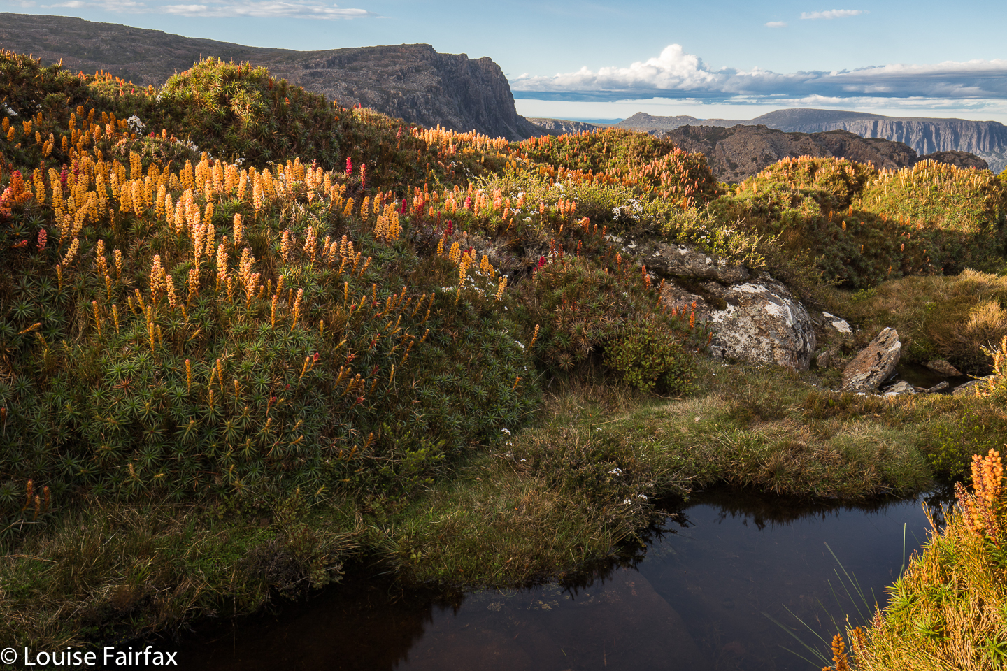
I didn’t stop at the gap, but kept climbing through the drizzle, in search of flowers. I found, I saw, I photographed. A strong wind joined the rain, and it was far from pleasant – and my socks and shoes were pretty sodden – but I was completely happy once I saw the colours of the scoparia flowers I had come for. I managed to find a sheltered spot for my tent – not easy when you’re so high with wind gusting from every direction, or so it seemed – and, in between photographing flowers and sunset, cooked and ate dinner in the protection of my tent.

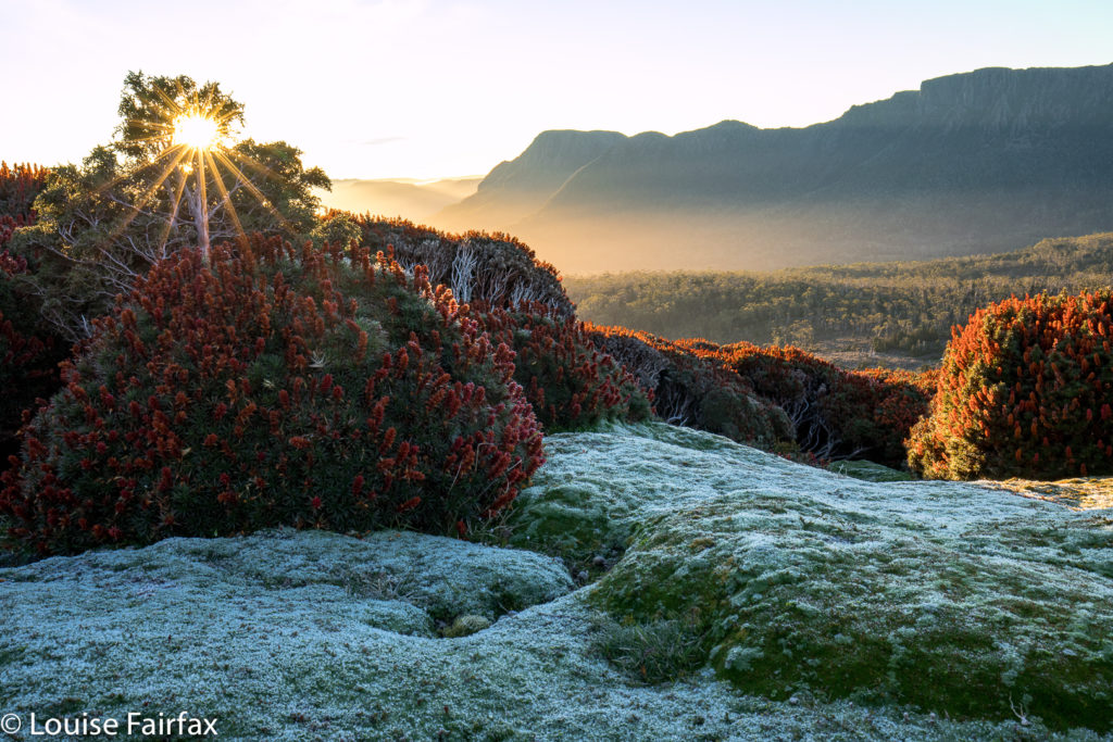
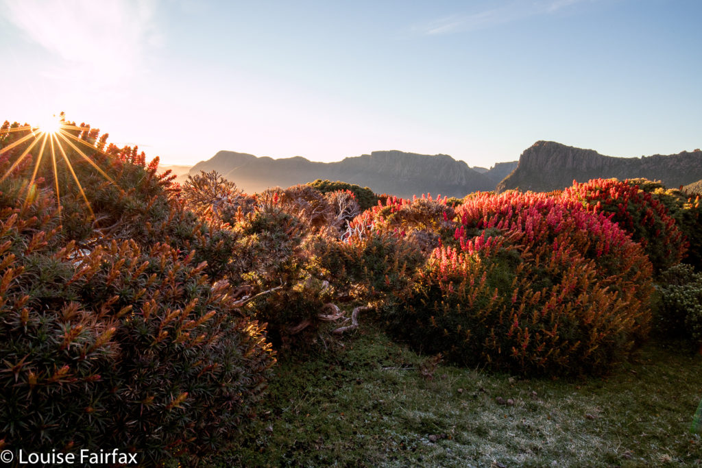
The sky was not colourful at sunrise (or sunset), although the golden rays of dawn lit the flowers beautifully. I have to admit I was SORELY tempted to stay in my warm sleeping bag and not venture into the frost outside, donning wet socks and shoes to do so, but I told myself I’d gone to a lot of effort to be here, and that really, it would be dumb to stay in my tent. I begrudgingly roused myself and put on every layer of clothing I possessed, wiped away the coating of frost on the tent, and got on with the day’s business. Of course, I was glad I did. One can stay in a warm bed almost any time, but one can only get up and witness sunrise on Tasmania’s highest mountain on very few occasions of one’s whole life. And life, I know, is a privilege not to be squandered.