Betts Falls Rocky Cape National Park

Betts Falls are not exactly inside Rocky Cape National Park, although one of the (very scrubby and unpleasant) approaches to this named waterfall on the ListMaps of Tasmania is from the early part of the track to Doone Falls. I included Rocky Cape (Tangdimmaa) in the title of this blog to make sure people understood I was not talking about Betts Vale Falls on Mt Wellington.
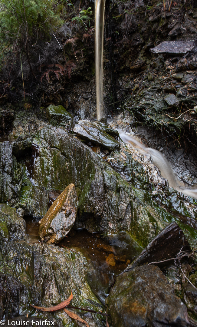
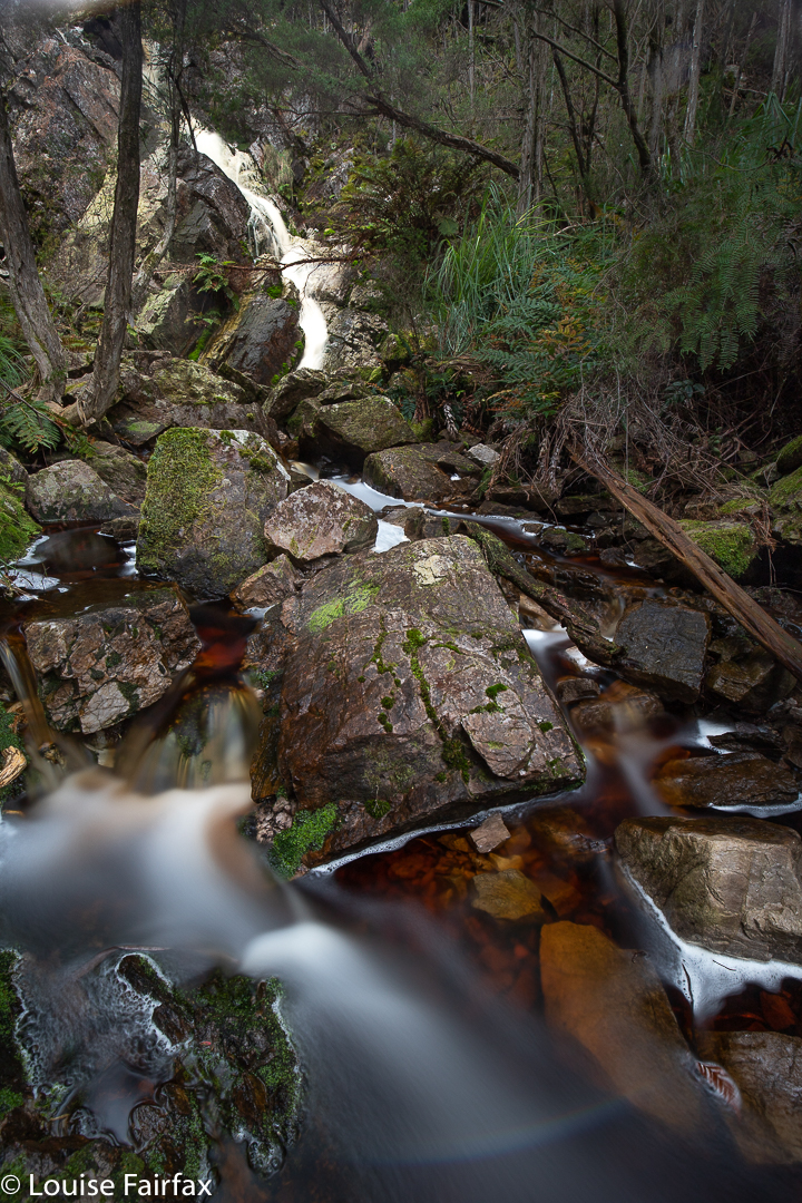
Betts Falls Rocky Cape

I’m afraid THIS Betts Falls is a bit of a non-event, as you can see from the pictures. However, I actually (unbelievably?) had more fun going to this waterfall than I did to the more attractive Doone Falls. I guess I am sick of the way National Parks are becoming over-regulated Tourist Parks that have little to offer proper bushwalkers. All the mystery is removed and signed highways lead to every feature so that a blind, crippled octogenarian with an IQ of 60 can reach every point desired. I like to have to use a bit of ingenuity, read my map and overcome a hurdle or two to enjoy my goal. I do NOT want to be carted there in a cable car so my legs and brain can both atrophy. Going to Doone, I was little more than a puppet carrying out my prescribed role. I did not have to think, or wonder whether I would find my treasure. I was, quite frankly, bored.
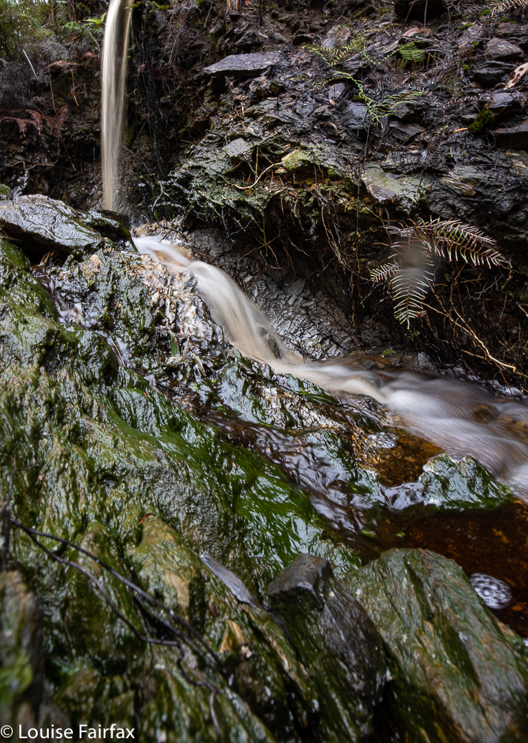
Betts Falls Rocky Cape

Betts Falls were unsigned, had no paths created for the purpose of getting you there, or pink tape every metre to festoon the forest with plastic, and were thus a treasure to be sought by effort. And as a result, I enjoyed the whole process of getting there, and was permitted to feel a faint sense of achievement when I found the falls at the end of my map reading. Small as they might be, they are not entirely without their own quiet charm. I passed some fabulous banksias along the way, with massive bearded cones lying all over the ground. However, if you like your waterfalls huge and dramatic, or want pink tape and paths to get you there, then this one is not worth your consideration.

My map is old, and so I had no idea if I strayed onto private property along the way. In case I did, I won’t publish my route here, but if you ask me nicely, and establish your interests as being of noble intent, then I can send you a copy of how I chose to get there.
(For Betts Vale Falls, on the Hobart Rivulet, see
http://www.natureloverswalks.com/hobart-rivulet/  ).

Doone Falls, Rocky Cape NP 2019

I’m afraid I have to confess that I have always regarded Doone Falls as a spoon of medicine I would have to swallow one day if I wanted to tick that box. I had seen a photo of it that did not inspire in the least, and, I have no idea why, but Sisters Beach did not have a siren call for me either. I guess I have never seen an alluring photo of it.

Doone Falls, Rocky Cape National Park (Tangdimmaa)

Today was a good sort of day to make my half-hearted pilgrimage to this doubtful mecca. It was a middling sort of day: cloudy but not raining. Not thrilling in any sort of way, but not bad enough to have me declare it a “sit by the window and read my (excellent) book” sort of day. I did my normal training run in the gorge, and took Tessie for her walk on the harbour before I set out, as you just didn’t know with a day like this how things would unfurl.

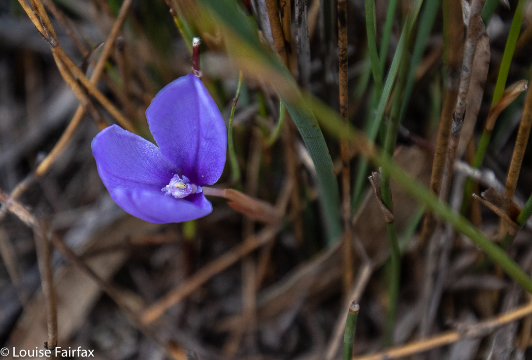
Patersonia fragilis

I know it’s churlish of me, but I didn’t like Sisters Beach in reality any more than in the anticipation. I drove slowly along the street, trying to get a glimpse of the beach, but I could not see it once. Not at all. Huge two-story houses (each with a gigantic boat on a trailer parked somewhere in the capacious yards) blocked every possibility of a sighting of the water. Eventually I reached the end, marked by one of the ugliest car parks ever, with not a tree in sight, and dumped my vehicle. Lucky for me, today was Australia’s religious fest day, so every Aussie except me was at church worshipping men in little shorts trying to get a ball to one or other end of an oval. No doubt they were having communion with beer for wine and chips for bread. This meant I had the carpark and the whole national park to myself. Wee.

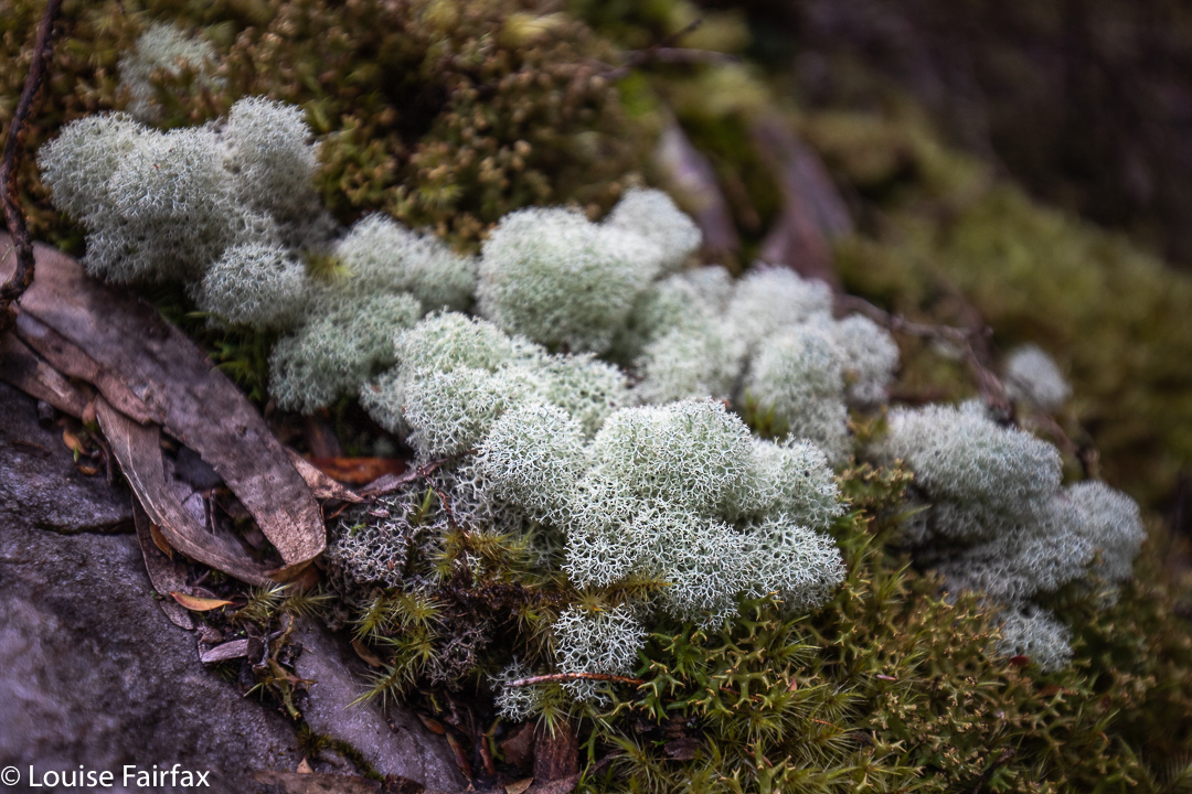
Moss and lichen nearer to the falls

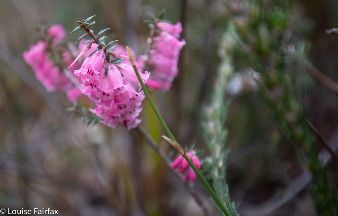
The route was unexpectedly open. I thought it would consist of dry scrub like the bush near Greens Beach, but it was more open heathland. It would be glary and exposed (to sunburn) in summer, but today was fine enough. The wind was not too strong, and it all had a Wuthering Heights kind of feel as I climbed up Broadview Hill with views to lumps and bumps around me, and the beach below. As it was early spring, there were quite a lot of heath flowers and other dainty patches of colour making their appearance. The only shady part was the final five or so minutes which marked the descent through pleasing mossy forest to the creek.

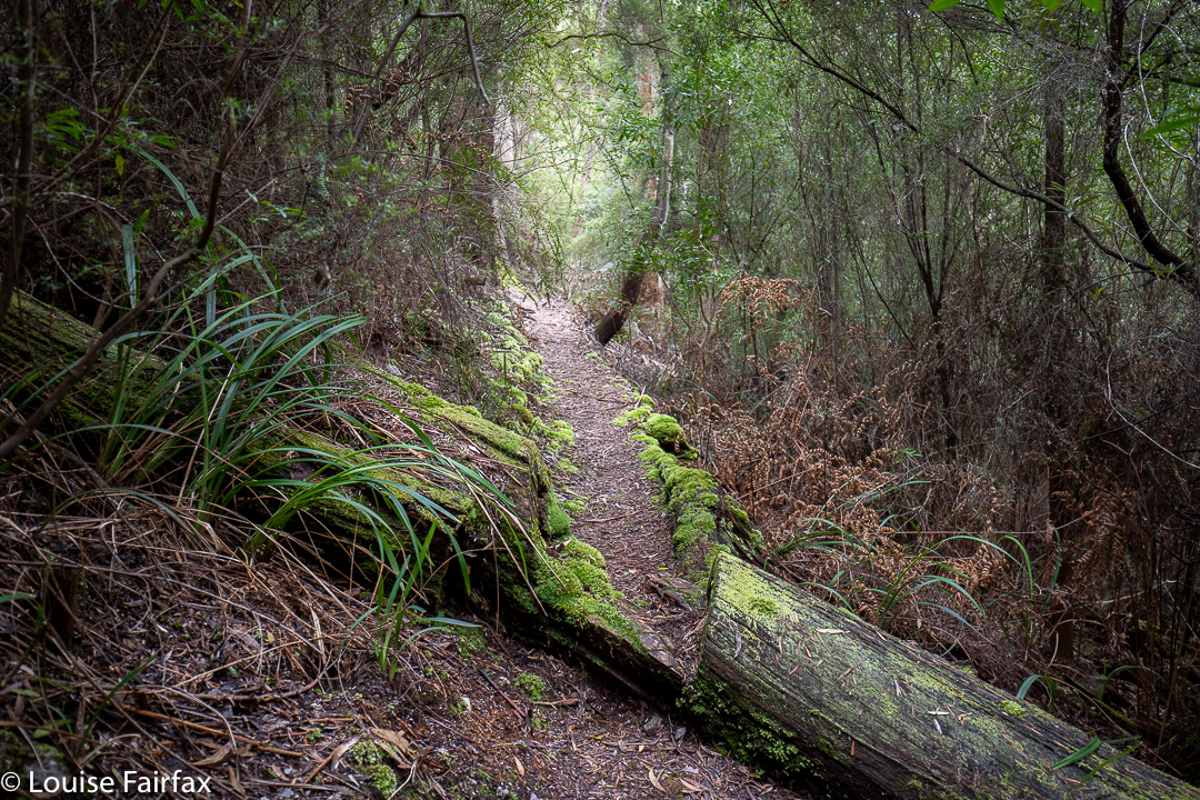
The nice part of the path, near the falls

32 minutes took me to the first turn off (shortly after Broadview Hill), which was signed to Doone Falls; 8 mins 30 more were needed to the next sign / intersection, which said the falls were 45 minutes return. I had been going just a shade over half the advertised times, so I figured 12 or 13 minutes should see me at my destination, and I was right. I was thus there in a bit over 50 minutes. The way back had similar splits. I am telling you this, as the fact that it was supposed to take two and a half hours had put me off a bit, and it is good to know that it is not quite such a big time commitment as anticipated, leaving room for other adventures, or just not making for such a long day if you’ve come from Launceston. For me, it meant I could also do Betts Falls and be home in time for dinner. Two boxes ticked. I very much doubt that I will ever be back.

delicate pink heath flower

Rocky Cape now has dual naming. The aboriginal name is Tangdimmaa.

Doone Falls route