Hebe Falls 2017 Dec

I had seen a couple of photos of the Hebe Falls – beautiful ones that inspired me to try to find these magnificent forest scenes. I located the Hebe River on my map, so knew my general ballgame, got a few tips from an experienced friend, grabbed my fun photographer friend Carrie and off we set to find these falls. I wasn’t completely sure I could guarantee success, but I’d give it my best shot.


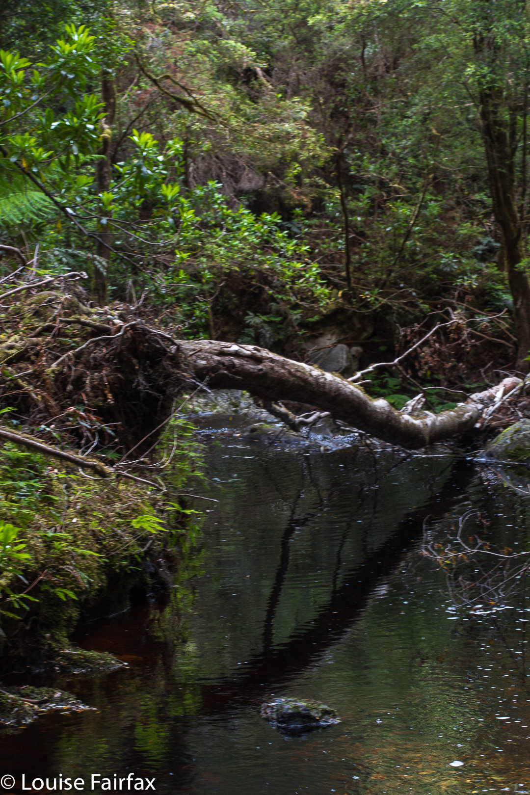
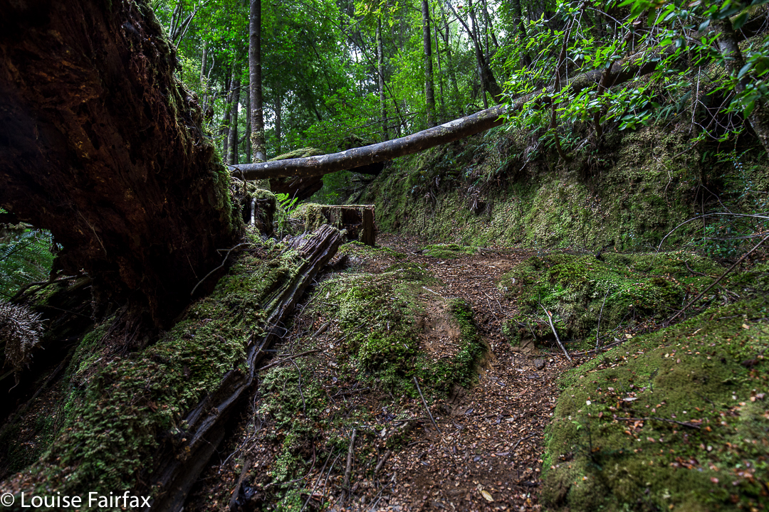
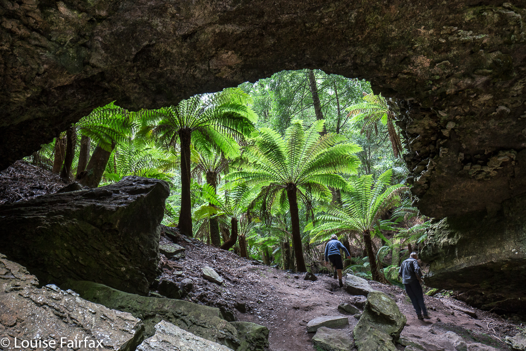
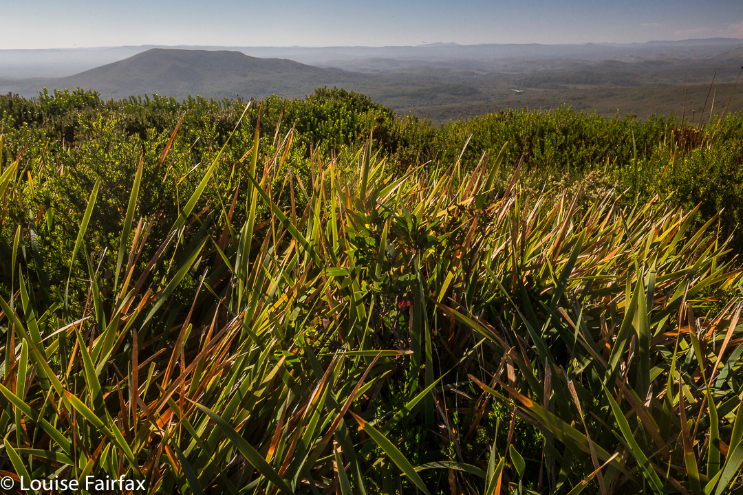
Off we ventured into the forest, which was much less thick than I had been expecting (I was braced in head-to-toe armour for a full-scale bushbash, but it was only a moderate battle). Things went well, navigationally speaking; we seemed to be getting closer to a water source. The trouble was, said water-source was not a great distance – horizontally – away, but there was a very big vertical distance to negotiate. Oh well. At least three others have done this and lived. Down we go. It felt like a deep-sea dive, as if we should hold our breathe. It really was very, very steep.


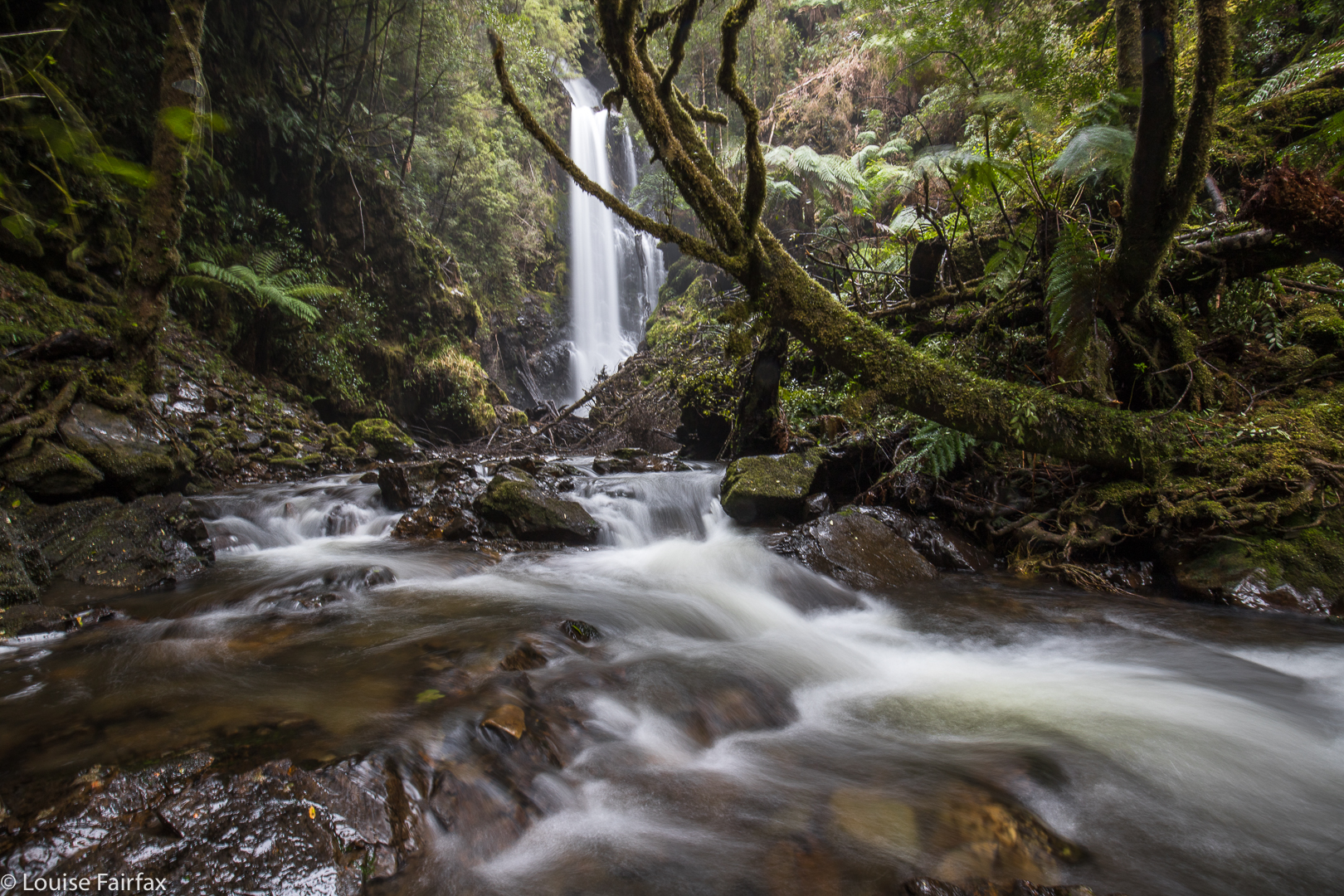
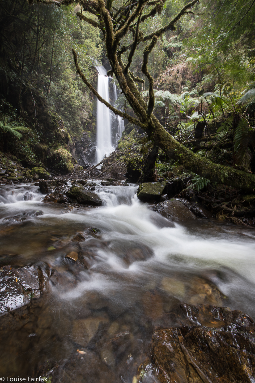
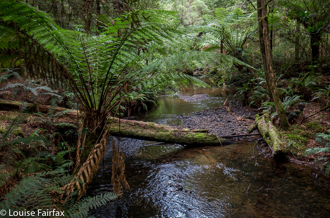
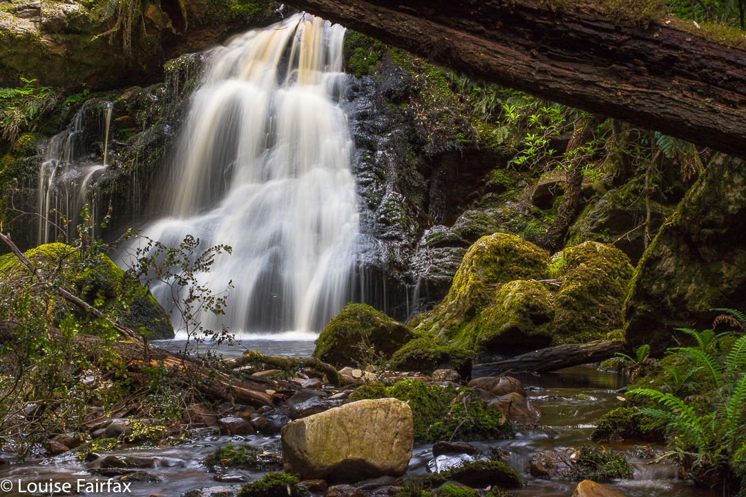
Once at the bottom, I could hear the falls, but we still had some climbing to do, over another knife-edged ridge, and dropping – steering under and over fallen branches – to reach the base further along. At last we could see our prize. We both took in a breathe of wonder. We had found something very beautiful here. I got out my camera to shoot, but the focus seemed very odd. What was going wrong?


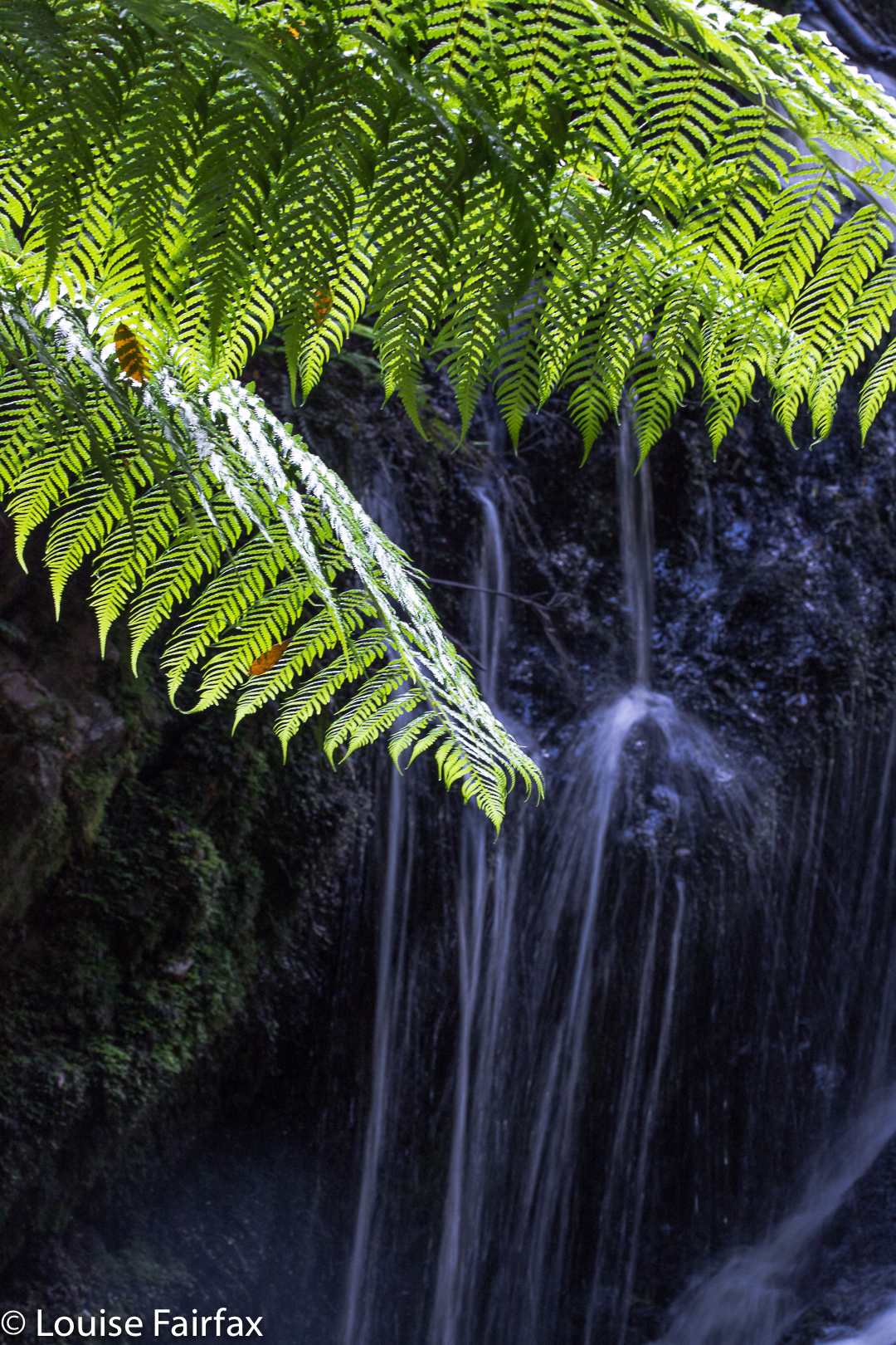
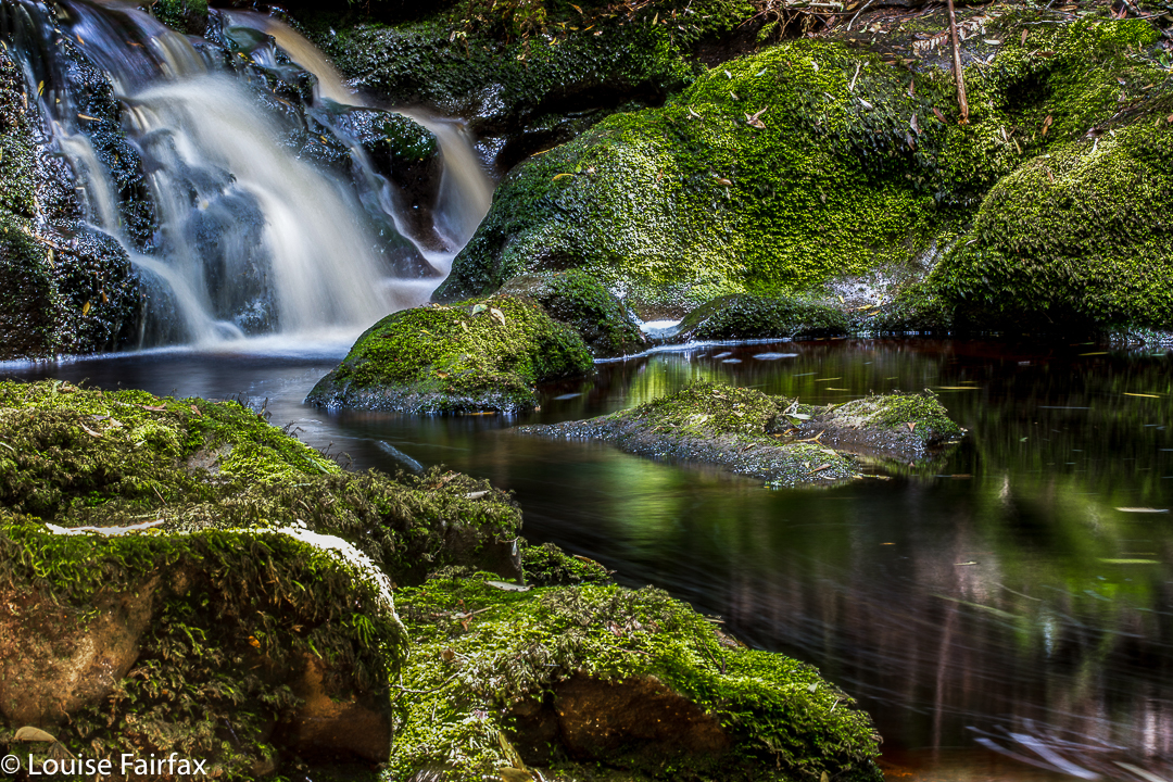
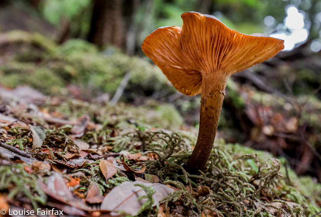
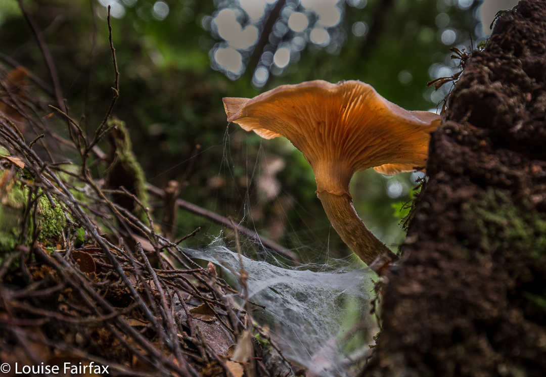
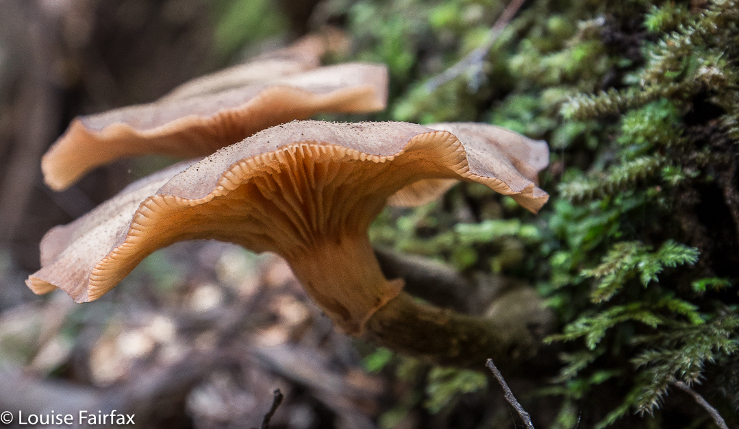
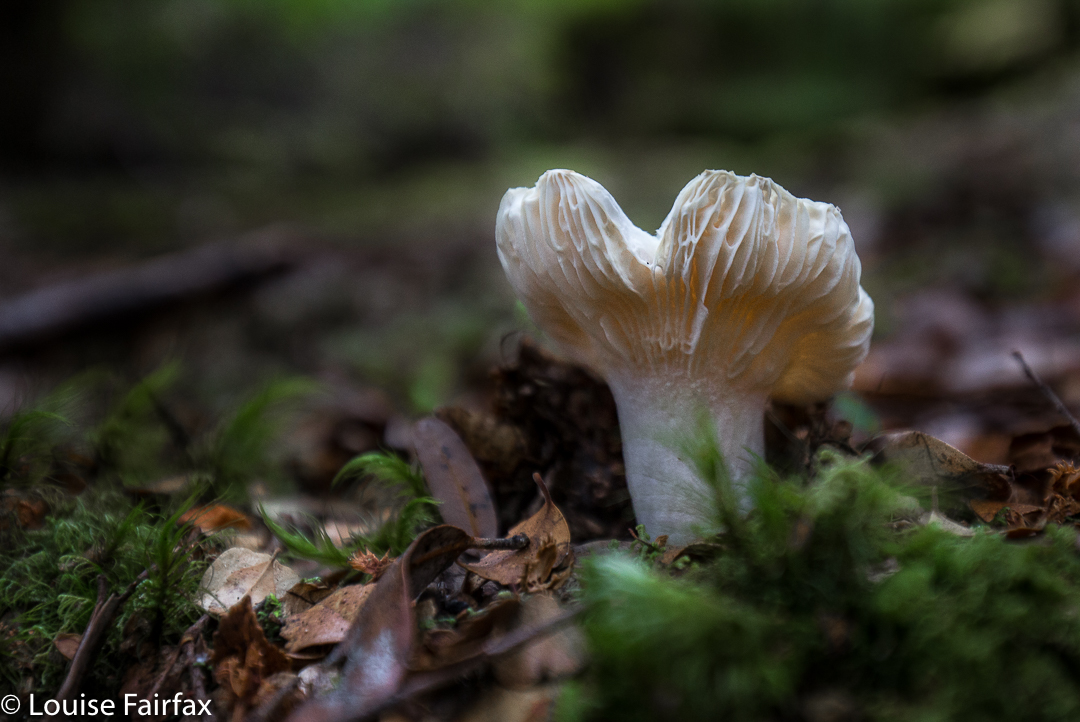
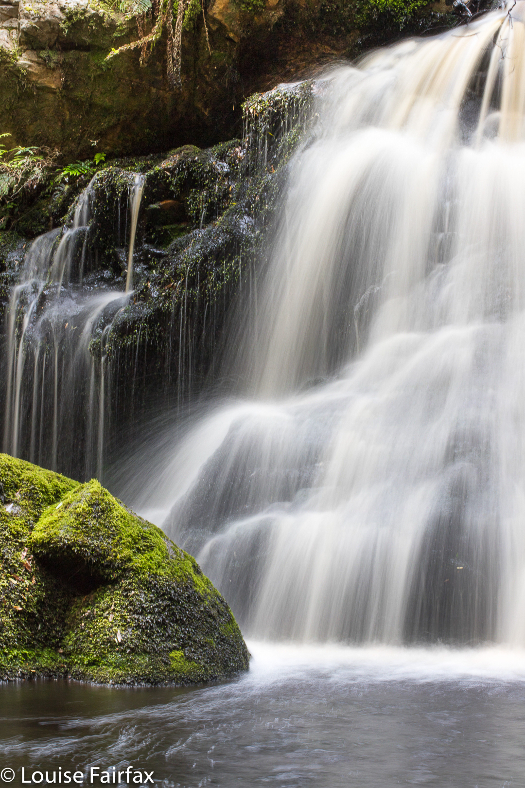
OH NO !!!!!! I had brought my 100mm dedicated macro lens and not my landscape one. There were a few darling bright red hygrocybes but that was not what I had just driven three hours to see. The photos here are my best effort with an entirely inappropriate  lens that wouldn’t let me photograph the whole falls at once unless I went half a kilometre downstream. In addition, I could not attach my little stopper to increase the exposure time, or my circular polarising filter to cut extraneous glare. I was pretty sad about this all day, but the falls were so beautiful, and Carrie such fun, that I did not weep. In fact, I had my first weep-free day since Bruce disappeared two months ago.


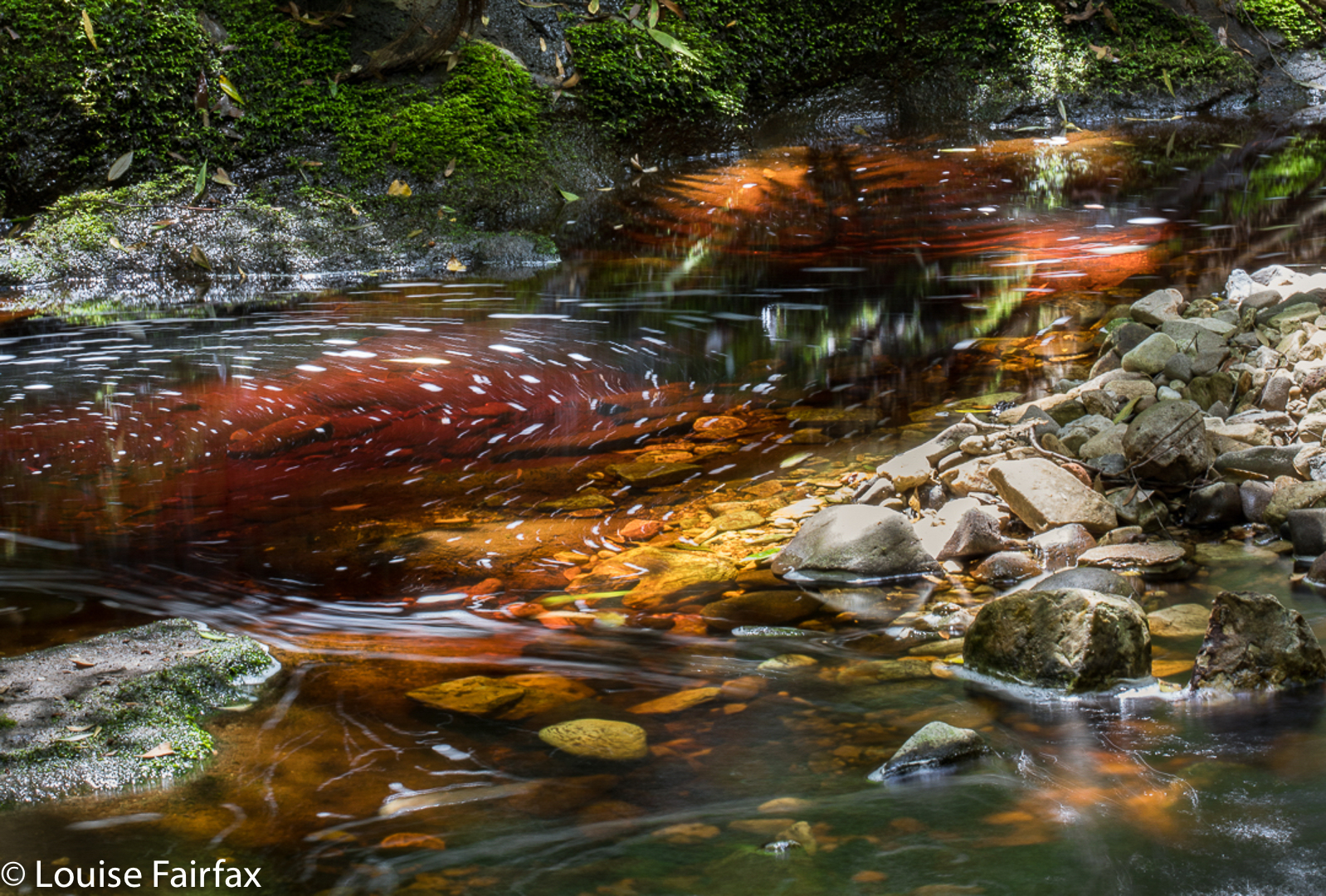
In addition to the wrong lens and inability to use the filters I had lugged into the location, we both had problems with the wretched sun which, despite our beautiful forecast for rain, insisted on making unwanted guest appearances every time we set up somewhere. That’s OK by me. I have to go back anyway!

Hebe River Cascades (higher up)

Philosopher Falls 2017 Oct

Philosopher Falls 2017 Oct


Can you feel the magic?
You would think that my trip to the base of Philosopher Falls would be totally marred by the fact that tripod number two (that is, the second tripod in two successive days) broke in my hands as I lined up for my first photo; however, Carrie and I had had such fun getting there, and the place was so magical, that it almost seemed as if photos didn’t matter. I felt as if I were in a holy spot, that I should use hushed whispers in a place that aroused such a spiritual feeling. It is a stunningly beautiful place, with its dramatic drop and white lines of flow, its mossy trees dripping with lichen and its shining rocks; this beauty is then further enhanced by the knowledge that not too many people manage to come that way; it is a kind of secret spot. Waterfalls of Tasmania says where we were standing is “inaccessible”. I like defying challenges like that.


The reason not too many people come that way is that it’s actually quite difficult getting there. The navigation, even if you own, and are competent at using, a gps is quite tricky, as the dense canopy interferes with the satellite signals. My gps, for example, said that we climbed half way up the side opposite the falls, which we did not. Because the ground is so dense, it is hard to see exactly what the contours are doing; your vision is obstructed by piles of giant fallen trees (which you have to clamber over, or under, or try somehow to get around). And then, there is the problem that this is an ancient and decaying forest, so it is possible (Carrie tried it a few times) for you to tread on a log that disintegrates under your weight, however diminutive that might be, so you can easily fall. I’ve seen a guy break his leg that way. This is not country to be in alone. One early explorer noted that if he trod on a log and it collapsed and he broke his leg, he would probably die, as no one would find him. One treats this land with respect.


And so, it took us far longer than we thought it would to reach a point where I excitedly announced to Carrie that we had done it, and we only had to climb up and over this spur in front of us and drop down the steep other side and we would be there. We were jubilant at the bottom. I didn’t look at my watch, as I didn’t want to feel guilty about my husband waiting wherever it was that he was waiting. I wanted to enjoy the moment. I only snuck a peak when we’d finished enjoying ourselves with our cameras and were ready to set out on our return journey.
Things were much faster on the way back, and we were at the car in time for lunch. I settled into a nook in the forest and devoured my salad roll with gusto. I had worked up quite an appetite. Even in the carpark, the forest has a wonderful feel to it. Viva Tarkanya.

Balfour Track, Trowutta Arch 2017 Mar

Balfour Track and Trowutta Arch, Tarkine Day 4.


Sadly, we turned our back on the coast – but not before I’d got up in the dark and wended my way down to the ocean to capture moonset, long before the sun had risen. The shot here is a very long exposure.


To reach our goal, we headed from the coast on the road running east from Couta Rocks – the C214 – until signs directed us to our destination. The track runs parallel to the road, rejoining it after about an hour’s walking (plus any stops you might have). Our group did an out and back route, probably taking us the three hours recommended. The extra half hour in each direction beyond walking was used in taking copious photos of fungi and forest, and in snack time beside the beautiful Stephens Rivulet.


Of all the tracks we walked this trip, this one was my favourite. The path was narrow and non-invasive; the forest was lush and green with plentiful tree ferns and moss. I thought it would be way too dry and warm for fungi, and that there would not be much to photograph, but I was mistaken. The quaint, tiny ones were not yet out, but there were still plenty of others. Luckily for me, the other walkers had gone on ahead, so I was supposedly giving chase. However, I ended up rolling in dirt every ten paces or so at the discovery of each new delightful specimen. The fact that the others were ahead meant I didn’t have to feel guilty about holding anyone up. If and when all these marvellous sights stopped, I could keep my promise about giving chase, and if not, I’d just meet them on the rebound. I rolled in a little more humus and thoroughly enjoyed myself. (Map at end of this page)


In the afternoon, we visited the Trowutta Arch. The arch itself was spectacular, but the way to it quite ruined it for me. I hated the hard, wide, unnatural path that has been built that scars the landscape. The forest also appears to be most suspiciously “tidy”. If the bureaucrats who designed this have wheelchairs in mind, I am most curious to know how they intend getting such chairs down the steep drop to the actual arch. Are they going to pop in a lift? Stairs will hardly help. The only section I enjoyed was the part they haven’t yet attacked. I hope this is the only route they decide to tame and manicure for tourists. I wonder why it is assumed that visitors are incapable of walking on any surface other than the artificially even one they normally use for shopping. This is a sad reflection on our society if it is correct. It contradicts what is actually good for our brains – a little challenge – a matter pursued by the excellent Austrian architect, Hundertwasser, in his deliberate planning of crooked, uneven paths and walls in anything he designed. I seemed to be the only one in the group who felt this way, but for me, the sight and feel of that city-style pavement in what had once been pristine rainforest, completely jarred, and detracted markedly from any delight I might have felt in the beauty that was there. Significantly, with the forest so “clean”, there were no fungi to be seen. There was nothing much for them to decompose.


Balfour Track instructions: The orange road to the left with 17 beside it is the C214. As you can see, you turn right off it (if going up from the coast) and travel 700 ms to the start. After your one hour (plus stops) walking, you will reach the C214 again, where you either retrace your steps (NOT boring at all) or, if you have arranged a car shuffle, a car will return you to the start. As the forest is always new in a different direction, the former method is both easier and more enjoyable. The track itself is the dashed line that basically follows the Stephens Rivulet. The other dashed, very straight line to the right (east) is presumably a boundary of some sort.

Tarkine West Coast 2017 Mar

Tarkine, West Coast, day 3. Mar, 2017


Quoll prints on clean, windswept sand.
At last we arrived at the coast. Although I love mountains and lush, green, mossy paths, fungi, waterfalls and streams, I had been longing for the moment when we would reach the wild west coast and I could photograph some seascapes.


I am captivated by water’s motion, and dearly love every opportunity to attempt to record it with my camera. This coast did not disappoint, although the waters were perhaps a little less frenzied than I had hoped for.


The tide was on its way out, and was rather too calm for my liking. The sky was pretty cloudless, but that’s part of what I love about real photography. You take what nature gives you and do your best with that.


The very notion of being disappointed in what was there and popping in a fake sunball, or some snow or some passing birds in photoshop, just to make your photo more interesting, to me is anathema. I love the serendipitous in nature. I am her servant and not vice versa.


I hope you have enjoyed this small selection of the beauty I witnessed on the evening of day 3 of our Tarkine trip.

Balfour 2017 Mar

Mt Balfour, Balfour Ghost town, and Frankland River Walk.  Tarkine day 3.


After breakfast overlooking the Pieman River with its beautiful reflections at Corinna, we continued on our way north, driving for about an hour and a quarter at moderate pace to reach the foot of Mt Balfour.
This mountain was short and very, very steep – so steep I was wondering how I was going to get my husband back down it. (He has Parkinson’s disease, if you are not used to reading this blog and find that an odd comment). Some sections you had to hang onto the grass to avoid rolling the whole way back down the hill. In fact, I watched a German girl girl doing precisely that as we neared the end on the rebound. She was wearing thongs, and had nothing to keep her foot attached to her shoe, so it slid out backwards. On the way up, I clutched grass and small bushes to avoid rolling backwards, and on the descent, I used the shrubbery rather than the ballbearinged 4WD track, as did my husband. He would have had a bad accident had he tried to stay on the track. The track just goes straight up, with no mucking around.

Steep it certainly was, but, as I said, it was also short, so I only took 27 minutes to the top – but 31 down. When you take longer to descend than to climb, you know this is a really steep slope. On top, we all enjoyed a snack just for the heck of it – because you snack on a mountain, even if it was only a tiny trip up – while some members girded their loins for the feared descent.


Next on our programme was a visit to the rather eerie ghost town of Balfour. Why eerie? For me it was, as apparently there are the graves of four hundred people who died in 1912 from typhoid. The “town” itself only has a few old tin shanties, but to think of such a large number of people living and working there, all quickly dead was rather horrifying. The doctor, whose grave remains, was only thirty when he died; Sylvia was fifteen. Most of the graves are no longer visible – perhaps there was just a mass grave at the height of the epidemic. I enjoyed the leafy tunnel that constituted the bulk of this walk, although the Frankland River, wild though it well may be, was not at its most attractive in midday glare. I didn’t bother photographing it, even though I did enjoy the leisurely stroll.


That night we slept on the West Coast, and that I DID photograph – with a vengeance. So many photos did I take that I’ll give the evening of Day 3 its very own blog (posted tomorrow).