Trestle Mountain

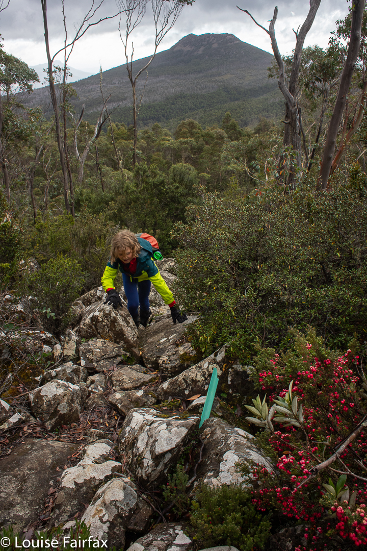
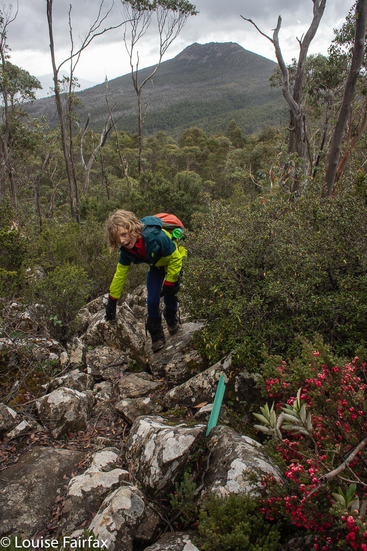
I am getting good at third climbs. Thurs-Fri, I slept on Mt Rufus with a friend for my third climb of it (see blog below this one), and next day, Kirsten, Gussy and I set out to climb and sleep on Trestle Mountain. For me it was the third time; for Gussy the second; and for Kirsten, whose choice it was, it was the first, which is why she chose it.
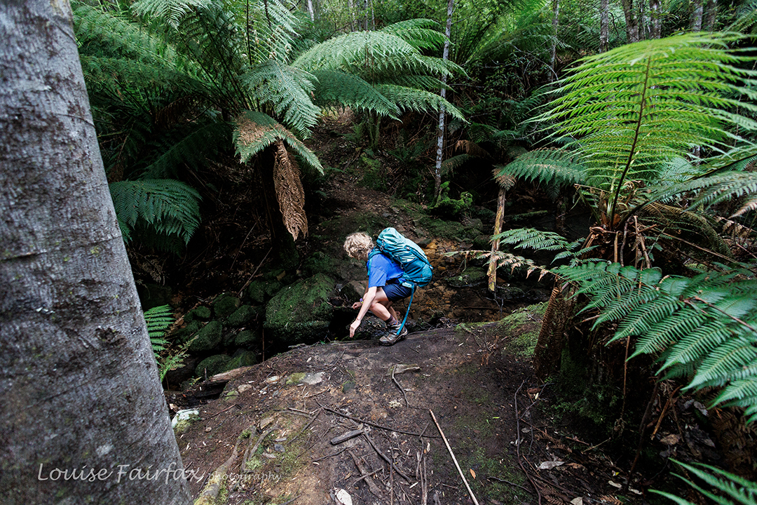
First creek crossing on the way to Trestle Mountain

I am delighted to report that it never occurred to Gus for a single second to be reluctant to go on the grounds that he’d already done it. He reads books many, many times over and has no problem with repeat mountain climbs. I actually find this a very important character trait. People who always need something new, who dislike something on the grounds that they’ve already “done” it are the ones who bother me. (HATE that world “done”.)
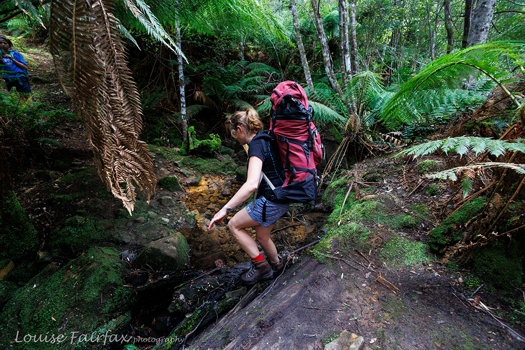
The pack isn’t just big: it’s heavy too! You have to be prepared for that taking young children bushwalking.

In actual fact, the three of us were supposed to be rogaining this weekend, but it had turned into an event requiring goggles, flippers, a wet suit and possibly even snorkels, and the organisers had decided to cancel. So, we had a weekend that had been kind of dedicated to a threesome bush adventure, so decided to combine my love of sleeping as near to the top of mountains as possible with Kirsten’s desire to add another Abel to her collection. Off we set.
Gus is only in fifth class, and it is hard work climbing Trestle right from the base at Mountain Creek with a pack on, but that is the route we decided on, it being the most beautiful – and, as all of us enjoy a good workout and lovely scenery, that is the route we chose.

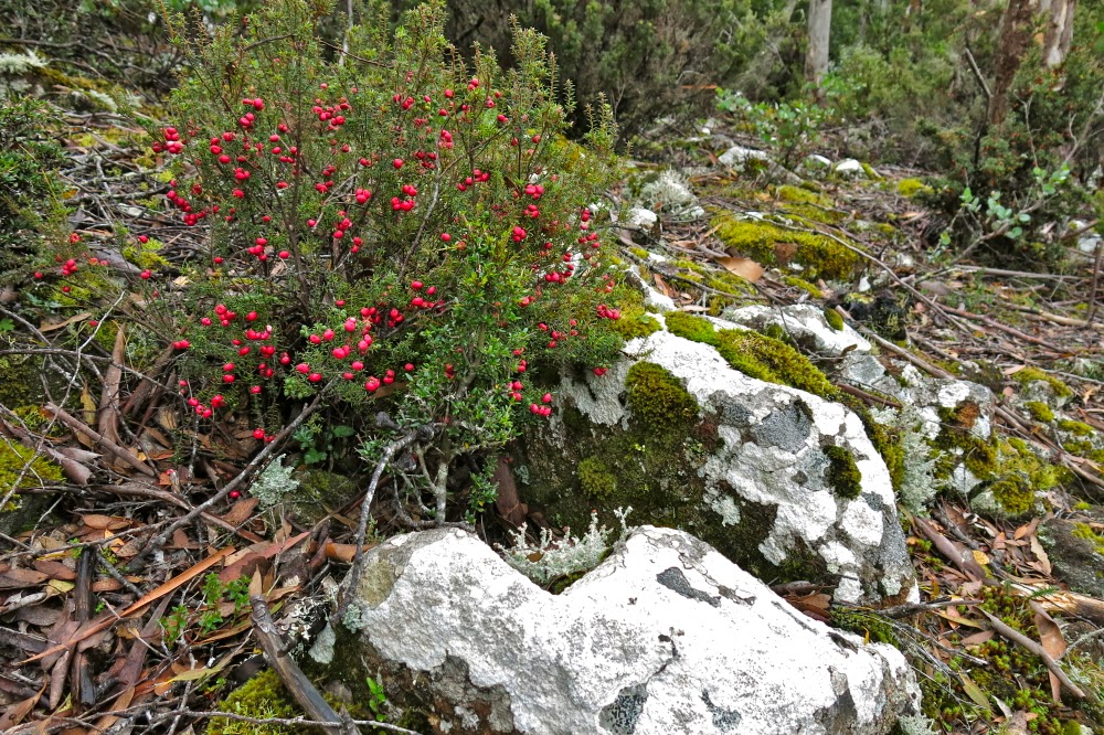
Richea dracophylla Trestle Mountain. I was surprised to see them this late.

After 35 minutes, we gave Gussy’s shoulders a break, and after 46 we crossed the first creek. I decided that, even though we’d just had a break, we should have a drink, so we took the packs off again and had some fresh running water. If my memory serves me correctly we didn’t have another shoulder break until the 2 hour mark, when we found a spot incredibly suitable for camping. It was definitely time for food and a drink, as well as a shoulder rest, but while the other two rested properly, I went off to search this spot for camping possibilities. It was ideal in one sense – it was flat, with running water and smooth ground for both tents – but we weren’t on the mountain and we didn’t have a view. I was not completely happy.
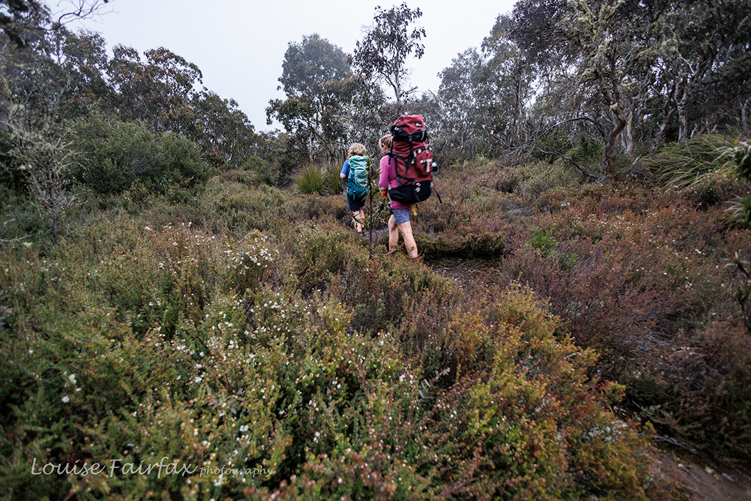
On the high part

I suggested they stay there while I go up further. I was sure we were about to top out any minute, so I’d see if I could find a spot up higher that suited. Off I set. It was further than I thought (12 minutes more), and then I had to explore all around the place. No spot yelled out that it was perfect, and all spots lacked the essence of beauty, but I could feel the fresh air of being on a mountain, and although it was all closed in weather-wise so there was no view, it still had that feeling of space around it that height generates. It looked like the tripod would stay in the pack yet again. Sigh.
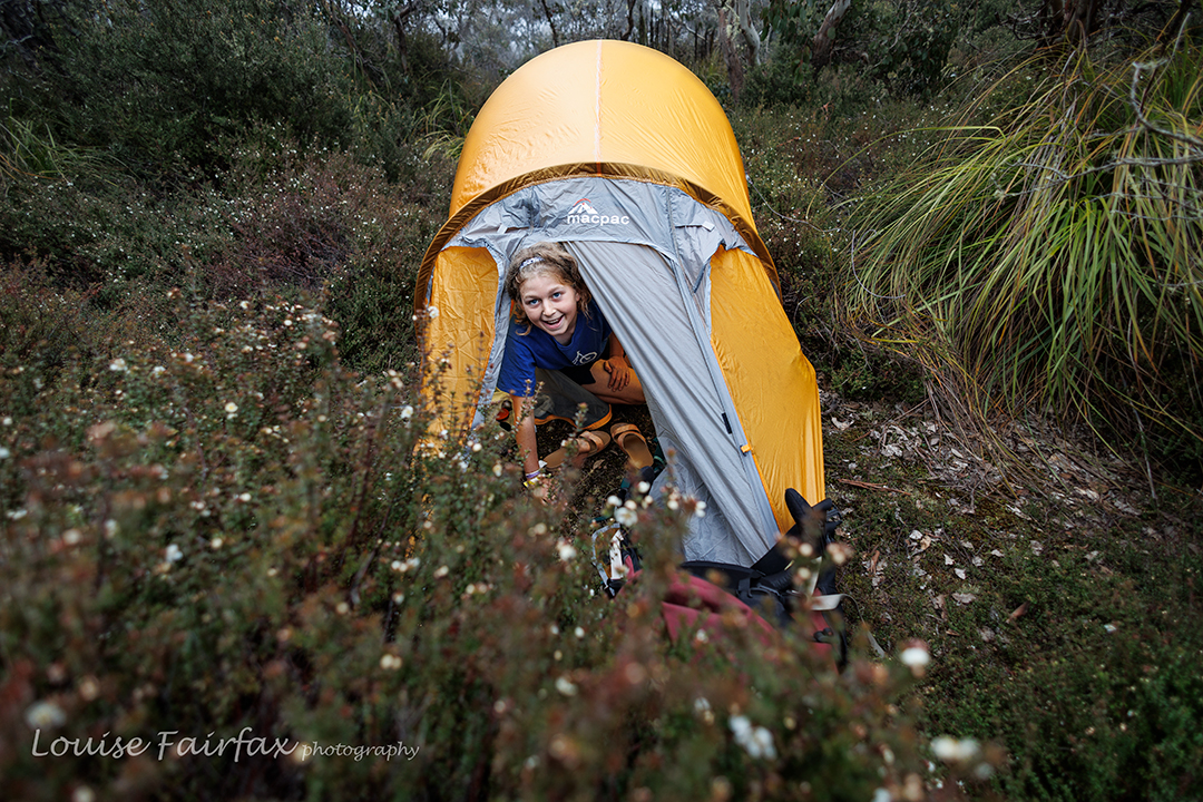
Happy boy in a tent

I started back down to report on what I’d seen, and there they were. They are like me, and would much prefer to walk and explore than sit and wait. Seeing’s we are talking about my daughter and her son, that is hardly something to be marvelled at. Genetics will out. I showed them my spots. Kirsten used her power of veto, so we explored some more. She examined a patch of pineapple grass, but Gussy and I saw a kind of clearing, headed for it, and discovered what we felt was the perfect camping spot.

Nearly on the summit

There had been snow up ahead on Collins Bonnet, but there was no snow here, which was a bit disappointing, but everything else was perfect. We pitched our tents, collected water, cooked and ate dinner, and then played Hannabi, a favourite card game, before it was time for bed.
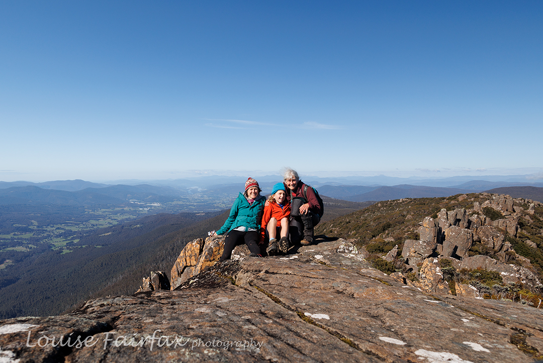
Happy family beside Trestle summit

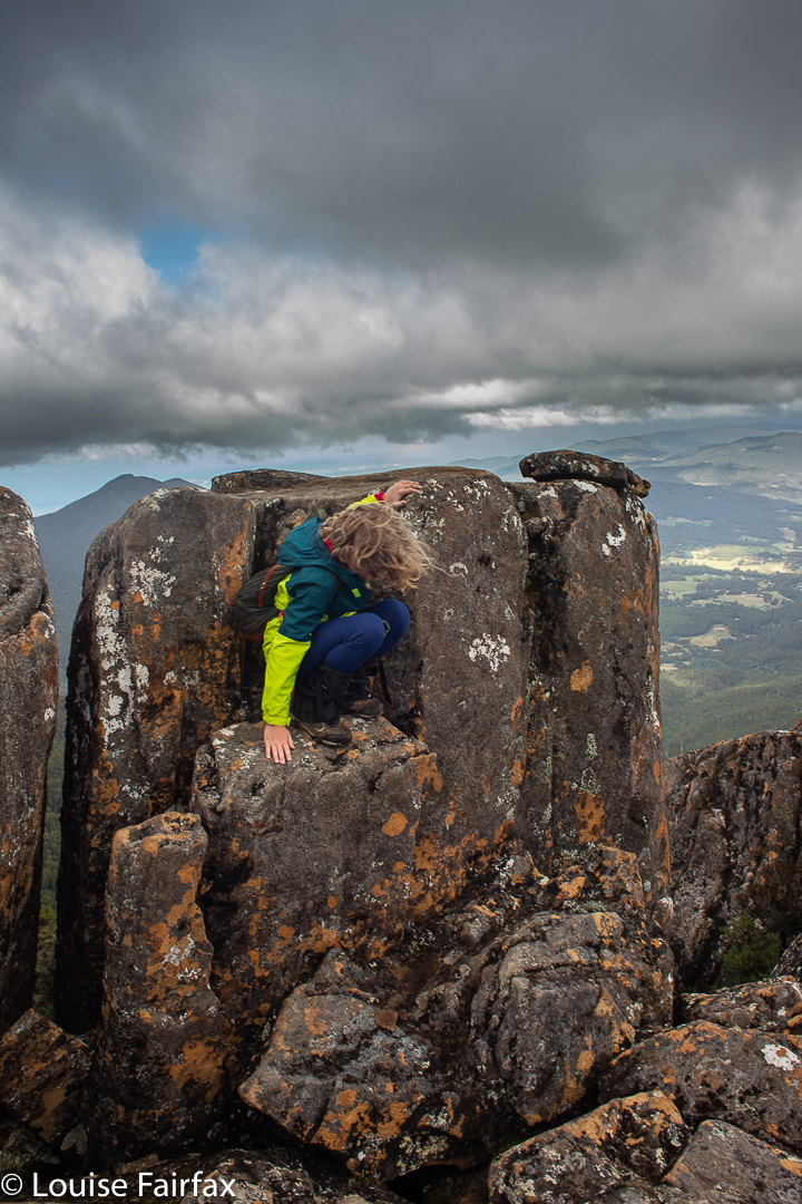
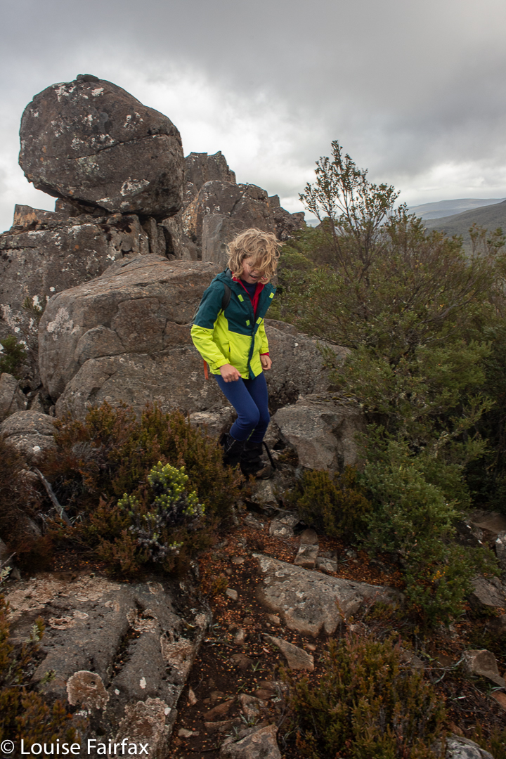
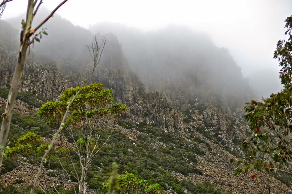
The next morning was very misty and raining a bit, so we didn’t hurry at all, but were on the summit well before 9 o’clock, so Gussy was happy that some of his friends might still be in bed, but he’d already climbed a mountain. It was foggy and cold as we did the last bit from the tent to the top, but it cleared while we were playing around on the rocks, so we did get a view.
The sun was now shining, but we were still cold back at the tents, so decided to have hot soup before descending. Kirsten’s pack was very heavy indeed, and mine was not light, so divesting ourselves of that tiny bit of extra weight was also welcome. Meanwhile, we had managed to eat a whole box of chocolates that I had brought up, so that helped my cause.
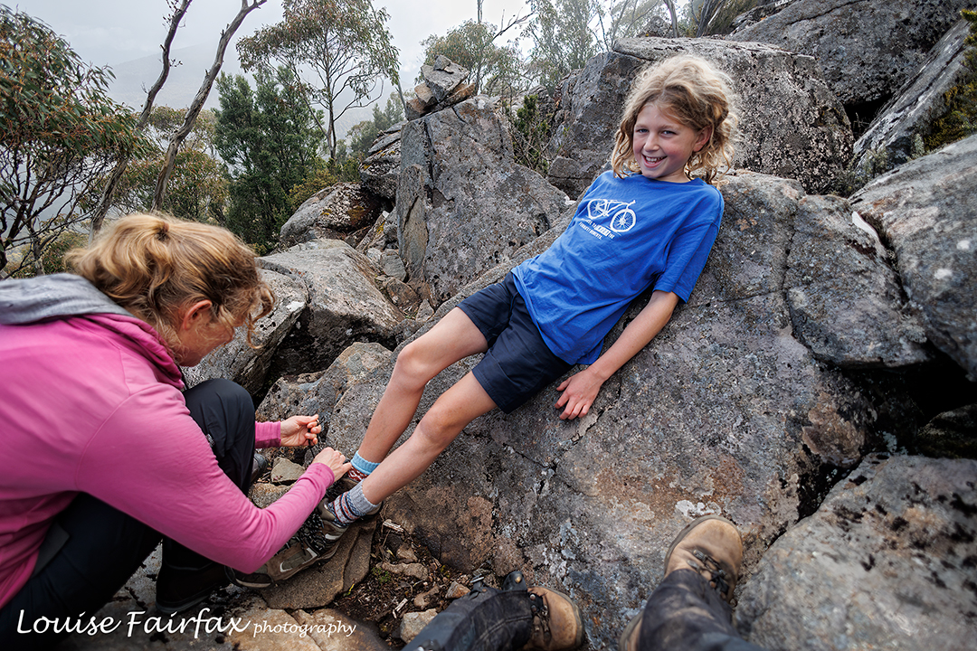
He may do great things, but he is still a little boy

When I asked Gus during lunch (had at his choice of cafe back in Hobart) what were his three favourite aspects of the walk, he said, in order: camping, being on the summit, and singing all the way down.
For some reason I had asked Kirsten what was the carol that the Christmas Eve service always started with, and instead of telling me, she sang. Gus and I stopped in our tracks to listen to her pure angelic voice giving us the boy soprano rendition of Once in Royal. Tears came to my eyes, and I could see Gussy was also affected by the beauty of what he was hearing. Kirsten prefers alto, but she sure did the soprano part justice here. We then sang canons and rounds the rest of the way down, in a pretty high key for Gussy, as he has a gorgeous little soprano voice too.
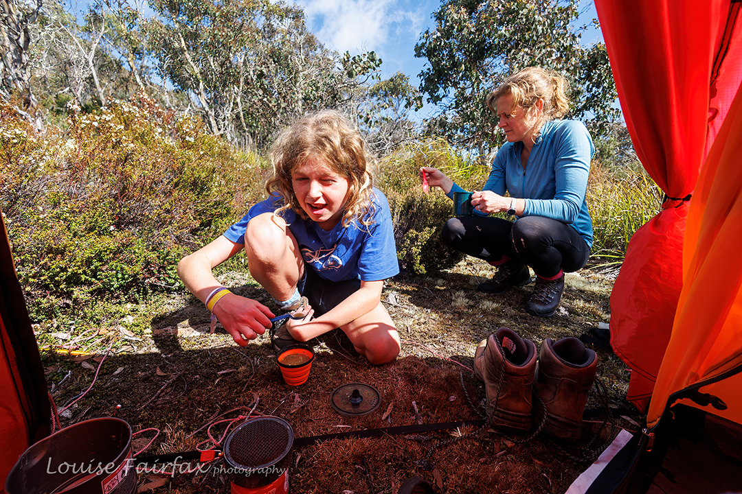
Gathering around my tent for soup to warm up.

I think his favourite two were (1) “Black socks. They never get dirty / The more that you wear them the better they get.
Sometimes I think I should wash them / But something inside me/ Says No No not yet, not yet, not yet, not yet”.
(2) One bobble bop etc for those who know it. Both have primary school humour.
Before we’d blinked we were back at the car and nobody had asked for a break. Singing while you walk does that. Bruce and I always used to sing on bushwalks, and it took me back to many, many happy bushwalks of yesteryear.
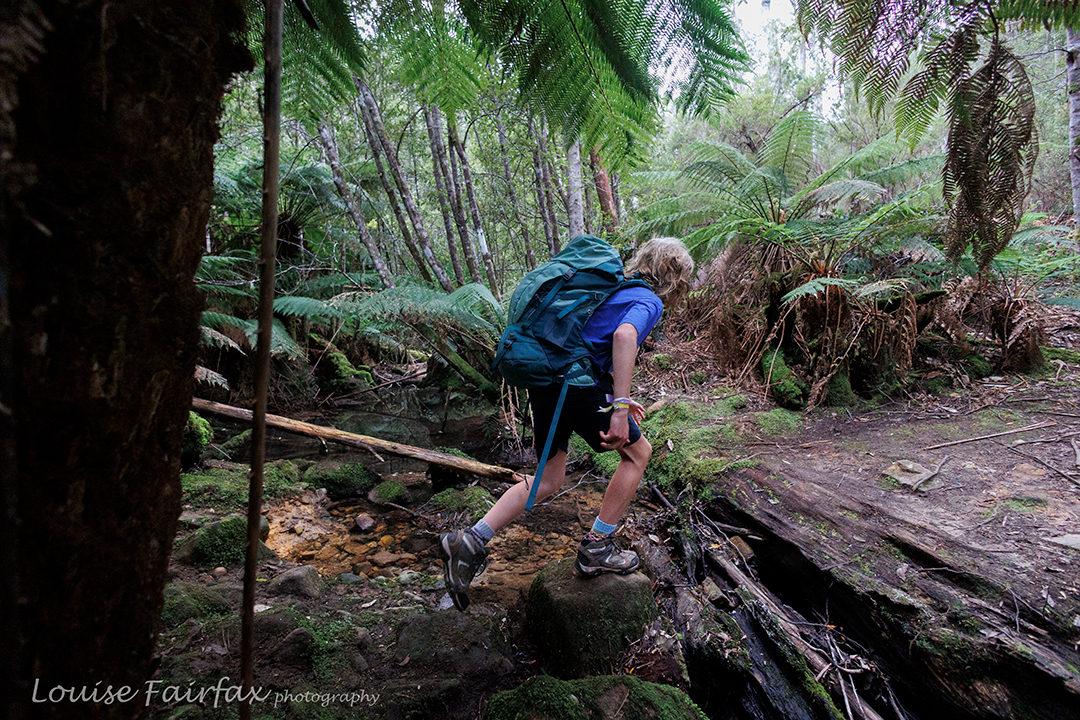
Last creek crossing

Back when I was pretty fresh out of uni, I started a bushwalking club for inner-city, concrete-jungled girls (Sydney). We used to sing around the campfire, and we would make up songs about the hike to tunes that we knew ,and sing as we went along. “It’s a long long way to Blue Gum forest” remains my favourite.

Trestle Mountain 2021 Apr

The forecast was horrendous: gales and sleet – not anyone much’s idea of fun. Gussy and I had hoped to climb Mt Mueller with HWC, as then we could get past the locked gate barring cars from a decent entry point, but, perhaps not surprisingly, we were the only two who turned up. The leader bailed out, and so I decided to take young Gus (9) to climb Trestle Mountain instead. We’d approach via the Mountain River track, which I find to be very beautiful: I love the mossy greenness of its path, and the fact that it is more a pad than a highway, which all too many Tassie paths are becoming these days. The forest would protect us from the wind right up until the final saddle, I decided. The light rain cum snow, we’d just take on board as we went.

Climbing Trestle

The other thing I like about this path is that it is very, very steep: almost unrelenting, and I just love the act of climbing. Perhaps the steepness is what has saved it from highway status. We would warm up nice and quickly.  (The temperatures were not, at this stage, exactly appealing.) Looking up into the thick mist, I told Gus we only had about 20% chance of making the summit, but we’d at least have a workout.

Climbing Trestle

Up we climbed, Gussy doing very well indeed, and the saddle between Trestle and Collins Bonnet getting ever nearer. I had already increased our chances of summiting to 75%, but no higher, even though the summit was very near now, because I feared the blast across its wind-tunnel might be prohibitive, and we were only in this for enjoyment, so if Gussy found it unpleasant, we would immediately about-turn. He was, at this stage, worried about gusts and ice on top, which was another reason for the low percentage so high. I pointed out the rocks ahead that lie under the summit, and said if we made it that far, I’d increase our chances to 90%, but I wasn’t committing to a sure summit before I could see it close by.

Descending

The day before, I had had a hard knock in the head with a soccer ball, playing goalie for five primary students who were shooting two balls at me (or the goal), and suddenly felt a little wave of slight, yet passing, dizziness. I asked Gus what he would do if I actually fainted. He said he would phone his parents using my phone (and rattled off their numbers), and, if he couldn’t raise them, then he’d call emergency. He thought his parents would deal better with authorities than a grade 4 student. Good answer Gussy. On we went.

Descending

The conditions in the saddle were much milder than we had anticipated, but not pleasant for a rest. On we forged. I was delighted to see tree coverage going up the slope until quite near the summit. I thought we’d definitely get to the 95% point, but may yet be fouled out by gusts and ice on top. Gus liked our odds.
As it was, there was a brief lull in the fighting force of the wind, and we got to the summit, took a brief couple of shots and descended before the fury began again. Gus was not a scrap interested in snacking up there. In fact, he held off having food until we reached the car over two hours later. And there, we refuelled mightily! His mum had packed us a veritable feast, originally planned as a forest or summit one, but now had under more clement conditions down low. It was still lovely there.
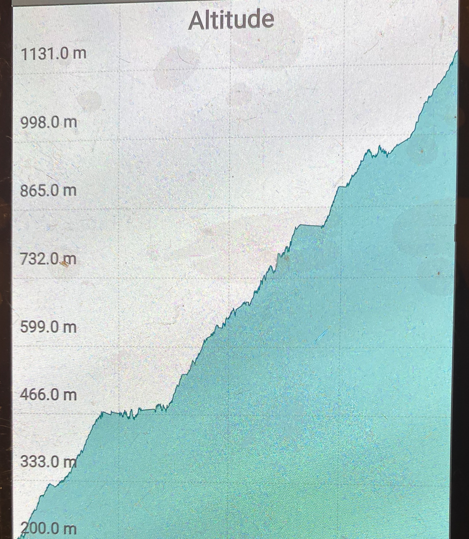
Data; 23.63 km equivalents, comprising 14.02 horizontal kms + 961 ms climb.

Altitude graph. The climb is pretty relentless.

Marian and Trestle Mountain 2015 Apr

Mt Marian and Trestle Mountain  April 2015.

I rather liked this view of Collins Bonnet that presented itself to me as I passed by – an old friend.

People climb mountains for many reasons. Some climbers, when asked why they did it, merely respond: “Because it was there”, which is not altogether helpful. Perhaps if I may attempt to articulate the unarticulated, I think they probably mean that the very presence of the mountain issues a challenge that they just couldn’t resist. Possibly at the other extreme are people who maintain that they only ever go up a mountain to have “a lovely day out” and that they don’t care which mountain it is, or whether or not they reach the summit. My first born daughter used to refuse to stop climbing anything until she had reached the top – and that was when she was still in nappies. I decided watching her that a drive to the summit was a genetic thing, as I had never taught her to behave like that.

Leptecophylla juniperina adds colour, especially when doing combat with the white snowberries of Gaultheria hispida 
I like to think I have a huge mixture of reasons for climbing, and that different ones may dominate on different days. Sure, on some days, like yesterday, I can be happy just to be there on the mountain, enjoying things from on high. On other days, I slip back into athlete mode, and am very business-like about getting to the top. Today was such a day. I had decided that I wanted to summit Mt Marian and Trestle Mountain (both Abels), and that I wanted it to be more of a workout than a pleasure jaunt (except that, for me, workouts are highly pleasurable). That’s probably because (i) I don’t like fire trails and (ii) I am feeling guilty that the dogs haven’t had enough of my company of late, so was in a rush to get home. This was to be a no fuss trip, and as fast as possible.

I set out after breakfast, and was ready to roll at Myrtle Forest Picnic area by 10. (For those from the north and foreign visitors, if you head for Collinsvale, there is very clear signposting after that.)

Exciting vistas opened up as I neared the summit of Mt Marian

The first part of the track was glorious, beside a ferny creek with, hardly surprisingly, myrtles here and there. However, my eyes were decidedly groundwards, as there were many colourful fungi popping their cute umbrella heads out from wood and moss, and I was enjoying them. All too soon the track split, and my route, the right hand one, turned away from the creek and the forest became drier until, 35 minutes after leaving the car, I bumped rather unexpectedly into the Collins Cap track start. However, this was like the sirens tempting Odysseus. My goal was Mt Marian, not this one, and I would not be turned off my course. On I marched, happy with the unexpectedly short time for this section. Business-mode was working well.

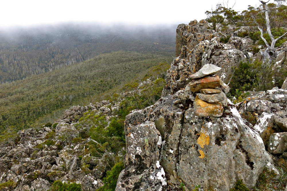
Summit cairn (Mt Marian)

Mist started gathering as I approached the under girth of Trestle Mountain. Should I do this one first whilst there was still maybe the possibility of a view? No. If I do, I might not do the further one. Hardest, furthest first was my self-made rule. All my eggs were now in the Marian basket. If the weather closed right in and it poured with rain maybe I would get no mountains for my drive. “No”, I told myself, “You’re summiting two mountains today, whatever the weather”, and on I went. No wussing allowed for people in business-mode.

I loved the rocks on Mt Marian
In not much over an hour I was at the turn-off to Mt Marian, very pleased. I was going to get a mountain today after all. A shade under half an hour more saw me on the top. As I had met a Belgian in the carpark who told me my intentions could take 7 hours and asked me if I had a torch, I was pleased. This was my furthest point. I would not need a head torch. Given the scant time this had taken, I may not even need lunch – which was good, as it was absolutely freezing, and I had no intention of sitting still for a long while yet. I had only done half the job I had set out to do, and didn’t even stop for morning tea.
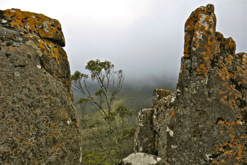
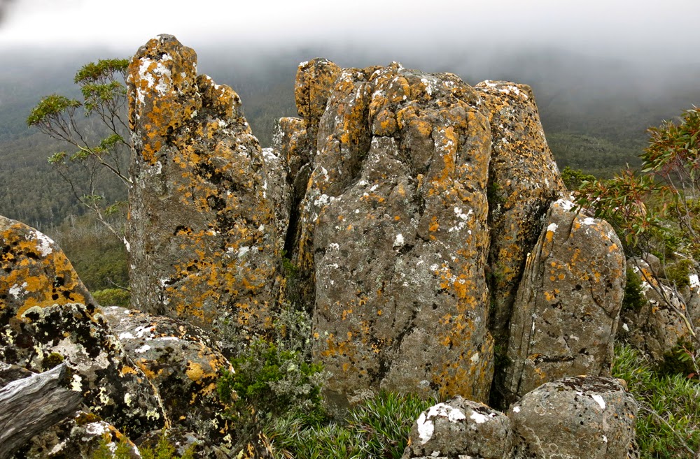
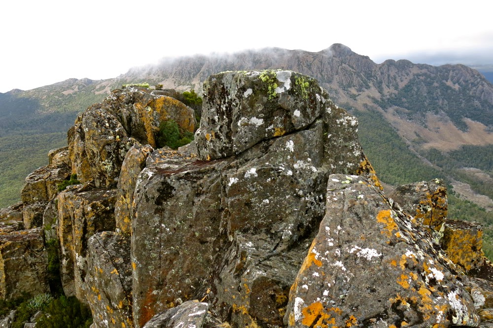
Summit rock of trestle Mountain – defended by sneaky patches of treacherous black moss. I was very careful up there.

Back down I went , through the glorious patches of pineapple grass, and past countless bushes of  berries (Leptecophylla juniperina – red – and snowberries: Gaultheria hispida – white). We could have had a modern-day Aussie-variety House of Lancaster vs York up there. The road was festooned in red and white. On I strode, continuing on 100 ms past where I had originally joined this East-West highway to the narrow path that said it led to Trestle Mountain. Up I climbed, still making excellent time. By now I was a bit peckish, but it wasn’t quite lunchtime, and besides, the wind was nasty up there, and my hands were aching with the cold, despite my relatively fast movement. I retreated back to the fire trail and began my return trip to the car, my work intentions satisfied.

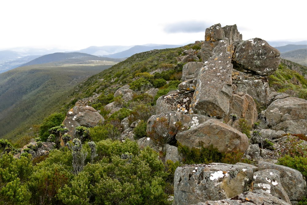
Looking along the spine of Trestle Mountain from the summit

Because I had now completed my mission, I was more relaxed, so when I spotted a nice creek on the descent, I plopped down beside it, and got out my food, enjoying the little grove of richea dracophylla that surrounded me. It’s good that the nearby minutiae pleased, as there had been no grand vistas on offer today (even minor vistas were absent).

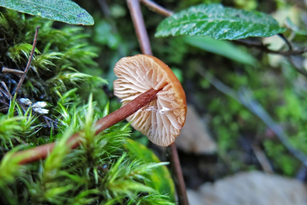
A fungus posing as a cancan dancer revealing its petticoats.
I was tempted enough by Collins Cap on the way back to even begin on that trail, but decided that it could wait. It was only just after 2pm at this stage. If I ignored it, I would be home in the light, in time to play a bit with the dogs in the garden, even if I indulged in cake and coffee at Zeps in Campbelltown for afternoon tea on the way through, which I fully intended doing.

Perhaps that kind of “efficiency” in mountain climbing is some people’s idea of hell, but I enjoyed myself greatly. I like both kinds of climbing. The former athlete in me still delights in a good workout; it’s a hard habit to break.

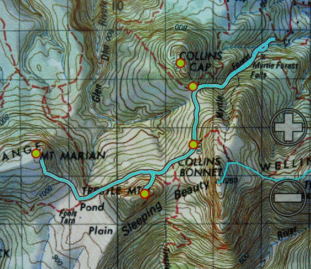
Note, there is no track on the map underneath all those blue lines, but there is a path or road (dirt) underneath all. Neither the gps nor the paper map has all of the roads marked. I felt pretty cheated having bought the paper map of Wellington Ranges especially for the purpose of not getting lost, only to find it hadn’t done me the courtesy of putting the useful information on the map, yet feeling quite at home with charging me money for it. If you want to go there, I suggest you print off a larger version of this and have it in your pocket.
Total climb, 1000 ms. horizontal distance 18.4 kms. Km equivalents: 28.4 kms.
Another useful source of information in helping me work out what was feasible given my timeframe, and providing a map similar to this one with his route on it was at http://hikinginsetasmania.blogspot.com.au/