ENGLAND Lake District 2012

England, Lake District 2012.

Whinn Rigg
In 2012, by the end of a two weeks’ stay in the Lake District, we had bagged 87 Wainwrights (Fells). This section of our holiday was preparation for a larger segment that would take place on the continent, where I intended to walk from Lake Geneva down to Chamonix Mont Blanc and then across on the haute route to Zermatt. This was my husband’s crash course in getting fitter and stronger after working too hard and letting his health drop. In total, he took off six weeks. We also did the South West Coast Path and the Cotswold loop. (See URLs for these at end)

My husband has Parkinson’s disease. When the hospital gurus did a check on him at the end of all this holiday, they told him he was much healthier than he would have been after any course of medicines that they could prescribe, and that his general coordination and symptoms had taken a definite turn for the better.
Notice that I am now counting Wainwrights. I have now been bitten by the bug. I want to climb them all. 87 down, 127 to go. It’s fun.

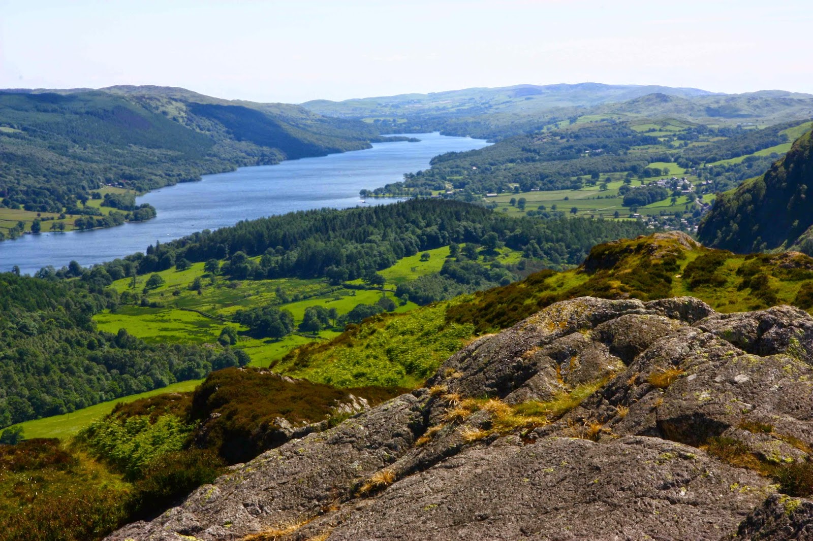
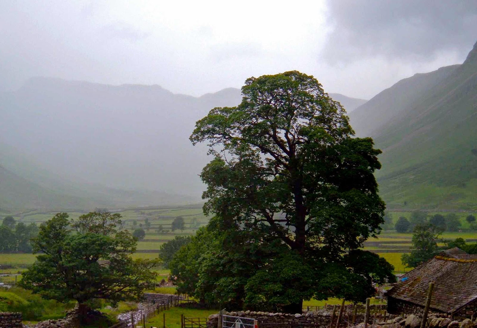
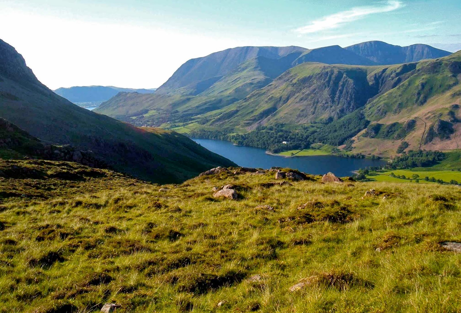
Wastwater, near the Wasdale YHA where we were based for part of this venture.
One of the mot amazing fell runners of all time, Joss Naylor.

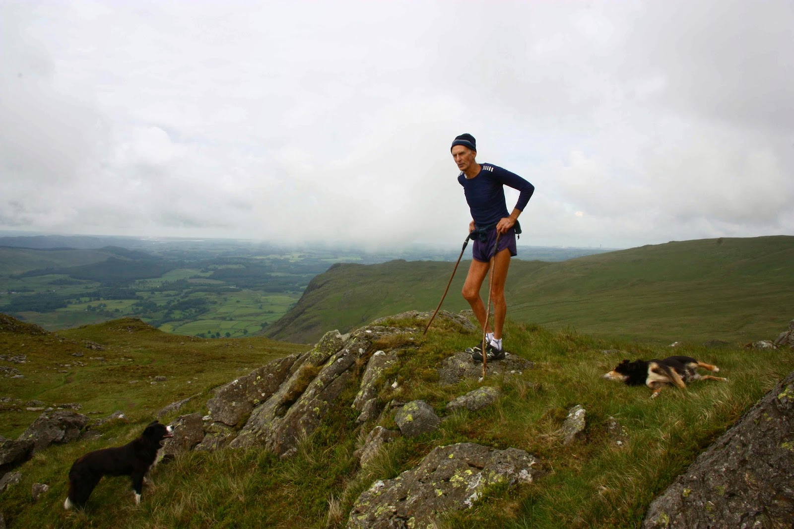
I was delighted to meet Joss Naylor, above, on the summit of Middle Fell – we had each run up from different directions. (He is aged 76 here, but ran like a young filly). We chatted and then we began our descent. I thought it quietly amusing that, although I have many top places in my past life in World meets, he didn’t expect me to keep up with him, but did me the courtesy, once he’d  noted that I was keeping pace, of chatting to me while we went.

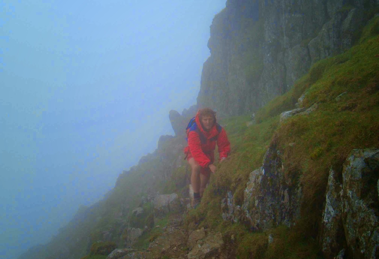
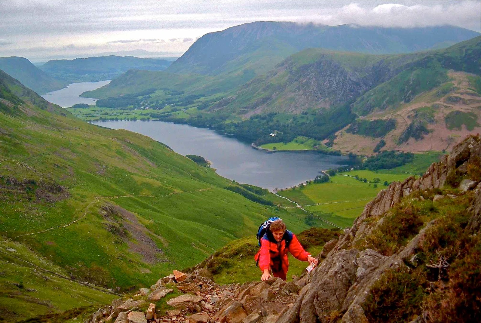
Shot whilst climbing Yewbarrow, one of my favourites of all.
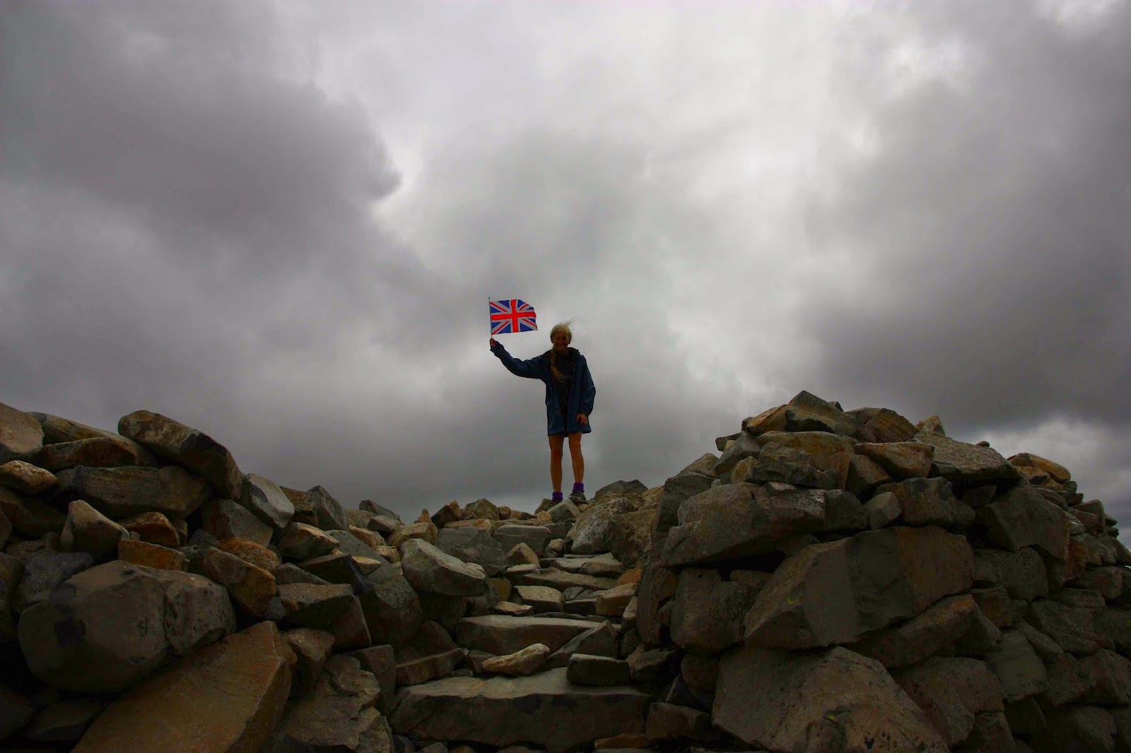
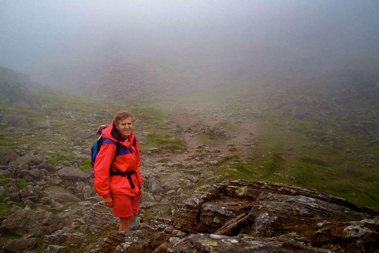
On top of Scafell Pike, that is, on top of England. This is my third time up this one. Yet to see the view.
Summitting Hartner Fell

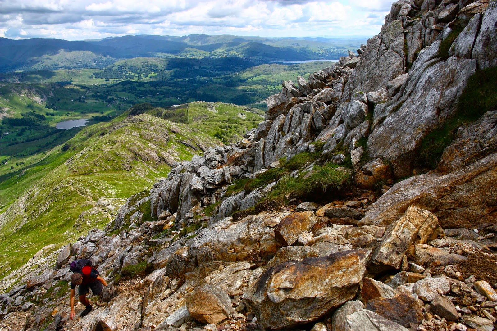
Climbing Crinkle Crags – just LOVE that name
Cold Pike in cold weather
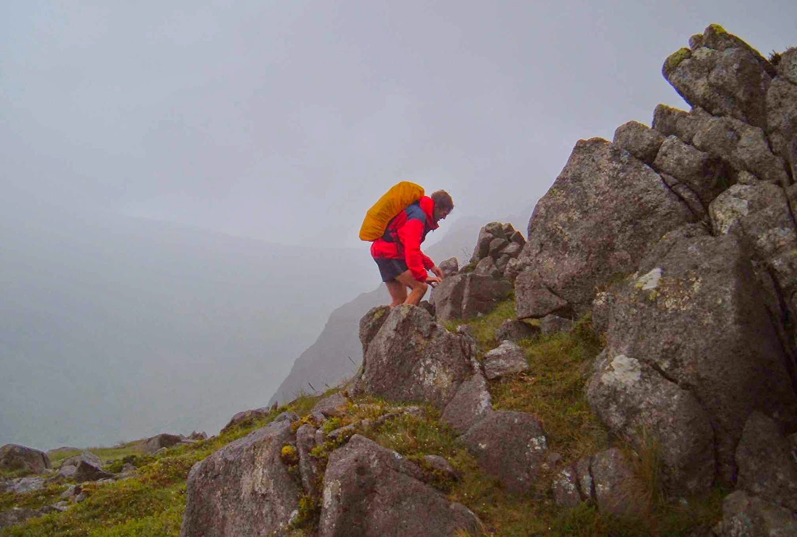
Bruce climbing Weatherlam


Swirl How
From the summit of Holm Fell
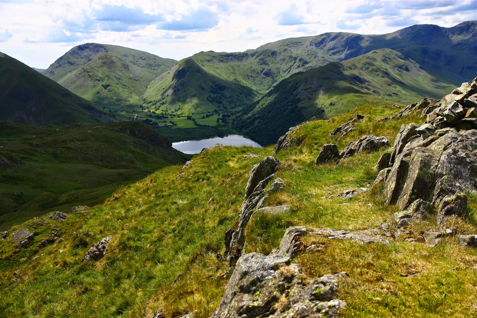
Brock Crags, looking towards High Street
Angle Tarn Pikes


ENGLAND Lake District 2006

England: Lake District 2006.

In 2006 we were doing research at Oxford Uni. Naturally, amongst the many walking trips we undertook whilst there, we went to the Lake District.  Here are some snippets from that time …

(The photos are a collection from all the peaks we climbed, not just the ones from this story. Sorry I didn’t own a better camera back then).

Story 1: Sca Fell
“You’ve chosen a nice sunny spot,” said a lady as she glided past while we ate our lunch standing in a broad saddle on the intersection of four paths, using a rocky slab as a table and a cairn as a shield.
“Yes,” I called in reply, “but I’m worried about getting sunburnt.”
“Just slop on some more cream,” she yelled as she marched on her way.

The mist swirled around as the wind howled and rain fretted. We ate standing, as it was too wet and cold to sit. I devoured more lettuce wrapped around blobs of apricot and cranberry chutney, with two-day-old bread for ballast.

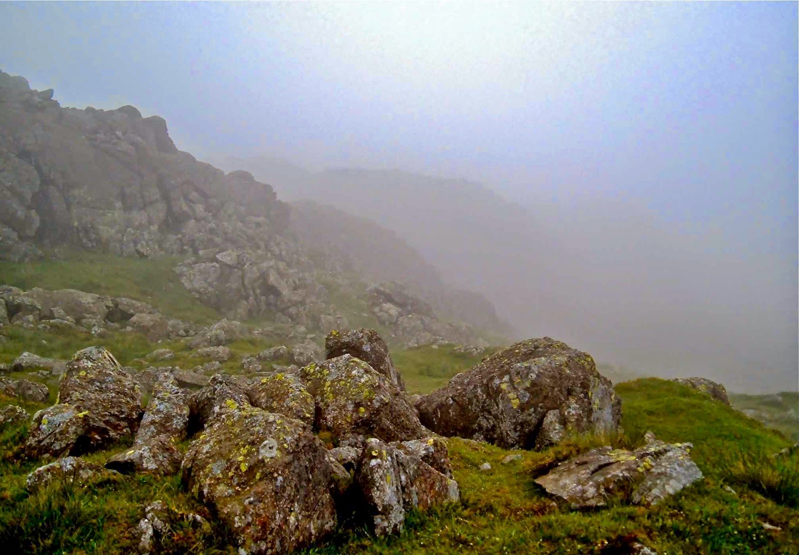
Nearing the summit of Sca Fell
“Delicious,” I enthused, not to be ironic, nor to be some Polyanna figure: it just seemed the perfect lunch for such a place – sweet for energy, crunch and juice from the lettuce, no fat to make us feel heavy and lethargic – and it tasted excellent, thanks to the high quality chutney. I consumed the last of my jelly babies (Jonathon Swift would have been proud of my measures to reduce English overpopulation and mendicancy) in the rather hasty “meal” and we were off. It was not a day to hang around.
Wasdale.
Climbing the Pillar

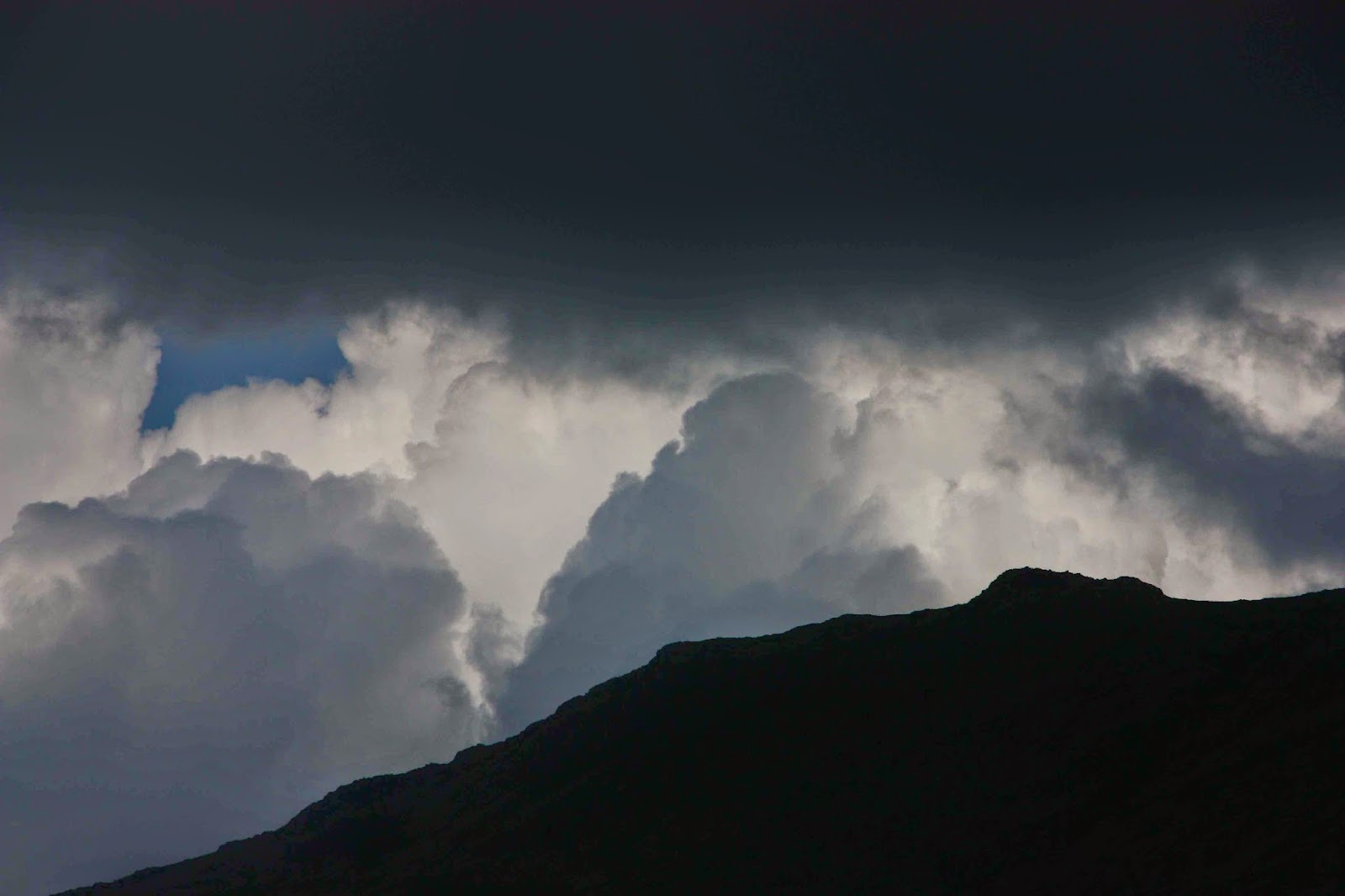
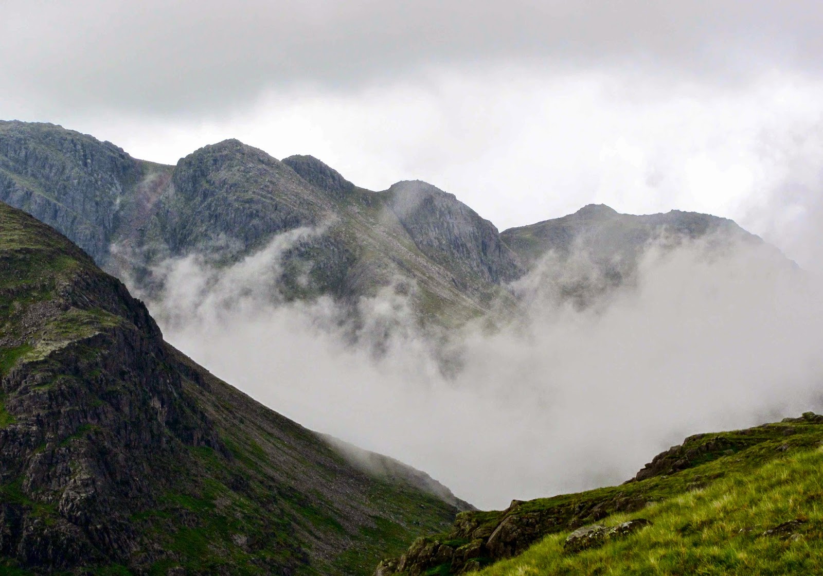
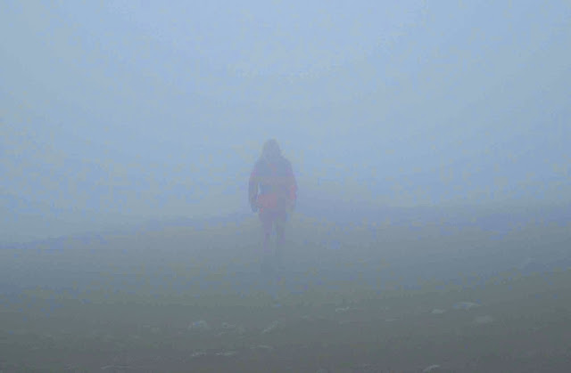
We set out into the mist. We could see the path in front for about a metre – enough to stay on the track, mostly; certainly not enough to be sure of anything much. Luckily this was our second summitting of Sca Fell, so I knew roughly which shapes might emerge out of the mist and which way the land might be expected to slope. But we were climbing England’s second highest mountain, so the general idea was “up”, except that often to go up, one needs to go around or down, and climbing steep slippery rocks that go up but into a cliff face is not a great help.

Pillar summit
Scoat Fell

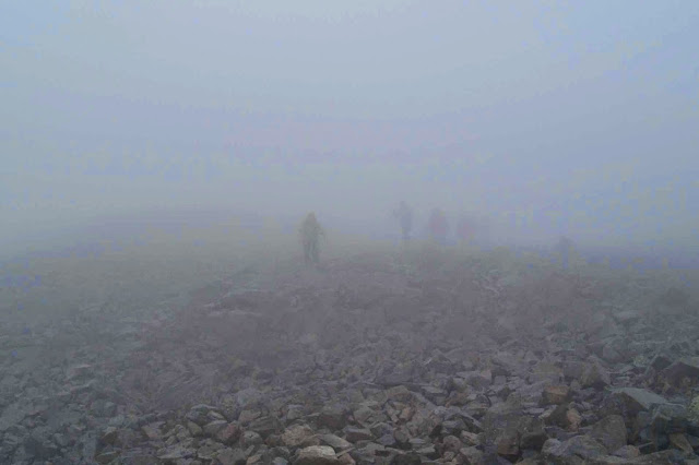
 I seemed to manage to keep us on course, and in moments of doubt, ghostly figures of other climbers on the same route would appear out of the fog on their descent, or we would overtake their shadowy forms as they stumbled over the slippery rocks or laboured up the slope, and we would know we were on track. There was a wonderful camaraderie amongst those on the mountain. I’m sure that only in England can you climb a remote mountain in the foulest possible weather and find a queue on the steepest slopes.

Story 2. Next day ….. Pillar and more

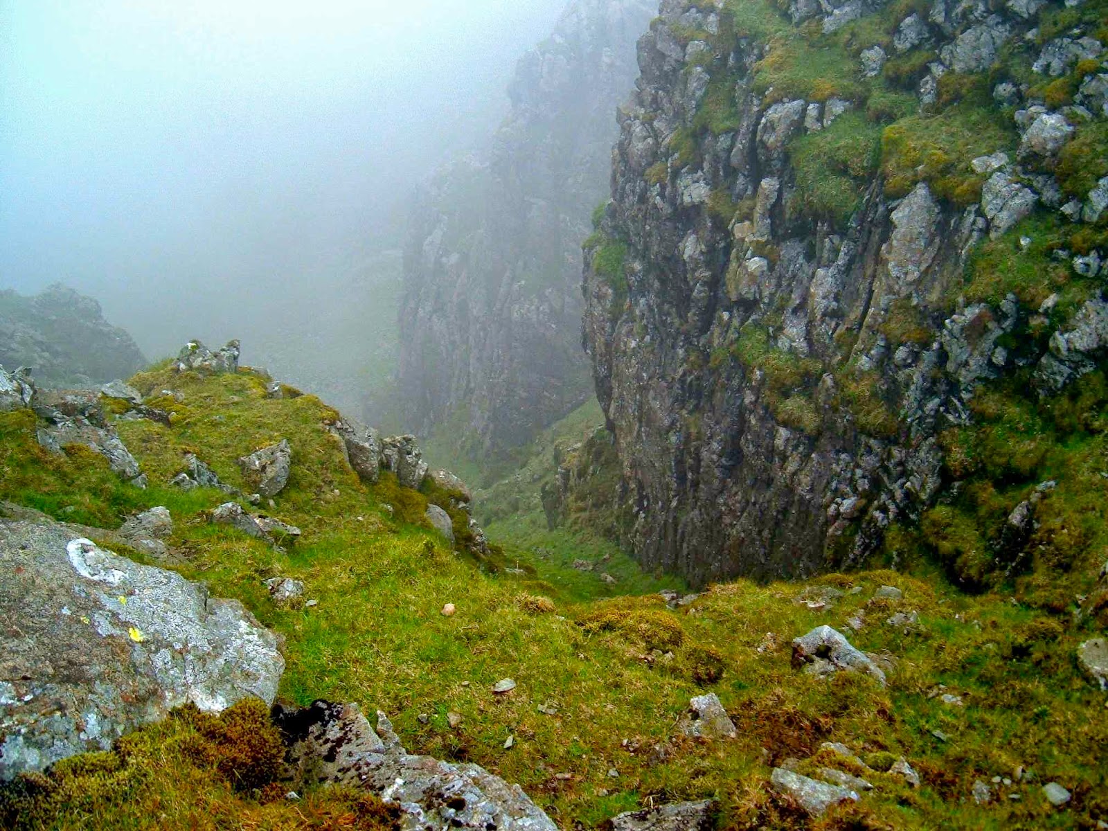
“I think we’d better sit here and take stock,” I said, as we found the first ledge of rock big enough to accommodate us in over half an hour of scaling slippery waterfalls in the mist. We were supposed to have undertaken a difficult but achievable scramble up the Pillar, keeping to the left of Pillar Rock, which dominates the landscape, or so the guide on climbing in this area says. There was no Pillar Rock in the mist – indeed, no Pillar. “The only problems will be encountered if one tries to climb to the right of the rock,” I had read the night before. Fine instructions if you can find this imposing massif.  We didn’t, and so climbed to the right of the rock. As we sat there, I announced it might be a very long sit, as I was way too scared to attempt a descent without a rope, and I couldn’t find a way up. We had about three squares of chocolate left, and our uneaten lunch. Not much to last about 20 hours until a search party tried to rescue us.

Scarth Gap
“Just make yourself comfy.”
“Why can’t we go down?” Bruce asked, surprised by my announcement.

“No way,” was all I bothered saying. Both directly up and down were impossible, and to the left was a steep, impassable rock face. The route to the right was similarly blocked. Our only hope was diagonally right, but I needed chocolate before I tried our only chance of escape. Nice, Lindt, orange-almond chocolate. Then one can climb further.

Chocolate to cheer, we set out again; with enough handholds to make some slight progress. Suddenly through the mist I saw a shape that had softer edges than the rest of the rocks – the shape of a sheep up to my right, not far away. I knew that if I could reach her, then we would have reached safety. Anywhere a sheep can go, I can go. She must have come around an easy back route that adjoins where she now was. Hooray.
We reached her and celebrated beside what we thought was the summit cairn, consuming our lunch now that we didn’t need it for dinner and breakfast and snacks during the night waiting for the rescue team. The mist was so thick we couldn’t see any other cairns, so after the refill, I set out in search of a way down – also precarious, as visibility was only about two metres. My search revealed that we had eaten about three metres away from the real summit cairn – invisible from our picnic spot. By making sure I stayed within earshot of Bruce, I circled until I found the next cairn in a progression, so we eventually found a route – we didn’t care which one. Any safe route down was welcome. The one I happened on also turned out to be the one I wanted, one that enabled us to also climb Great Scoat, Little Scoat, the Steeple and Haycock before descending, yielding yet more photos of blobs in the mist to add to my already considerable collection. The others at our YHA accommodation in the valley that night giggled with delight at the photos, so it seems they were a success.

ENGLAND Cotswold Way 2011-2

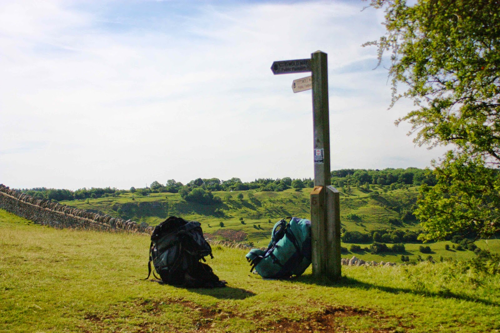
Cotswold Way (+Heart of England, Monarch’s, Diamond, Gloucestershire, Macmillan, Windrush, and Wardens’ Ways).


The first time my husband got me onto British soil, he was virtually dragging me, kicking and struggling (well, a bit of hyperbole there). My image of this island was that it had wall-to-wall buildings, that you would never get away from the madding crowds and that the food would be egregious. And, to add insult to injury, the denizens spoke English. How boring is that!

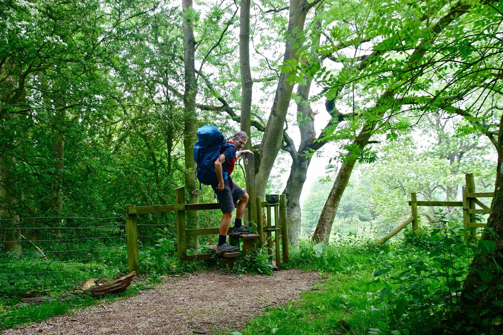
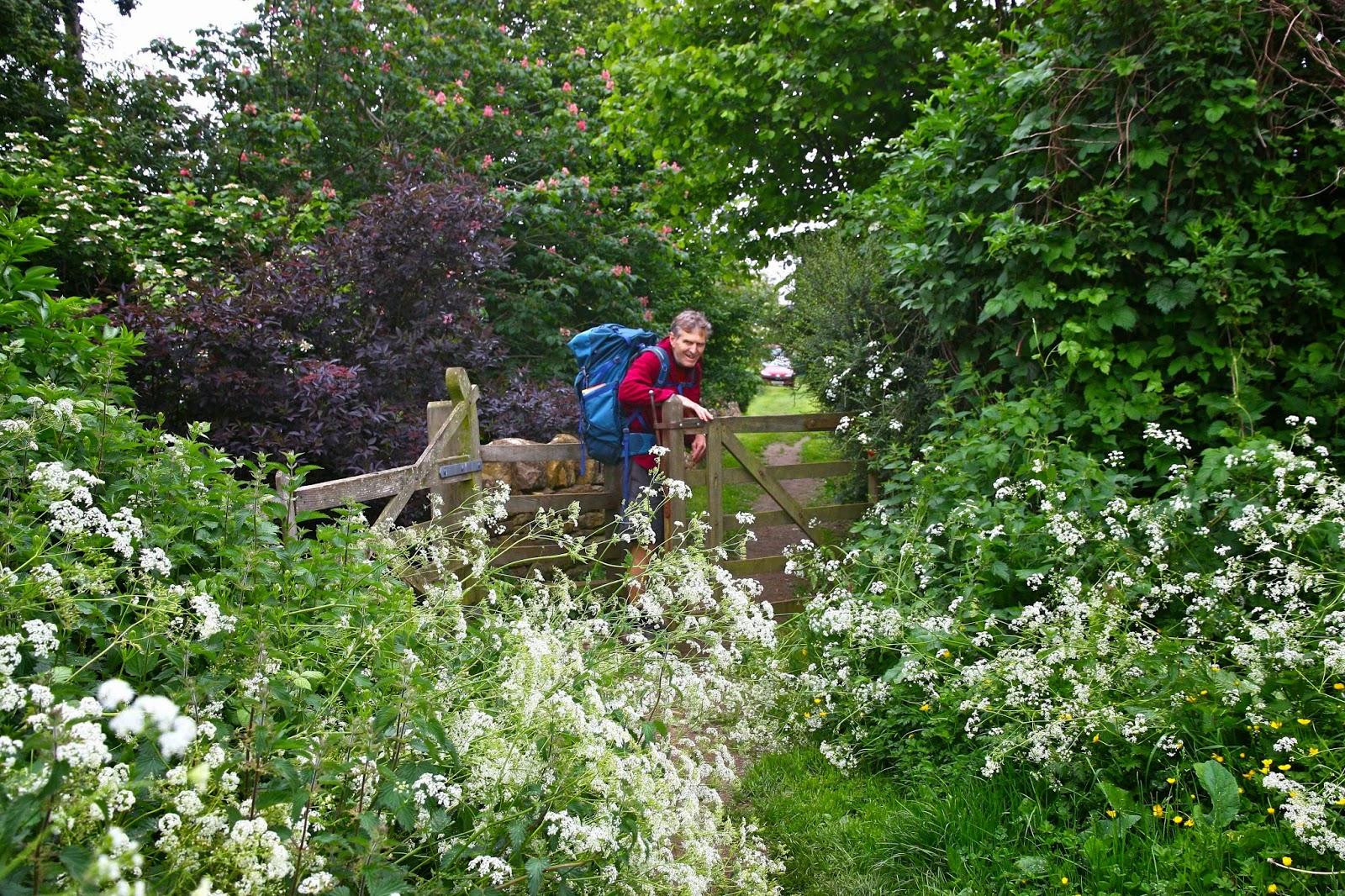
I changed my mind very quickly, about nearly everything. England has never ceased to amaze me in that it can have the population that it does, yet still retain endless tracts of houseless land. Not only that, but the system of ancient rights of way means that you can walk on far more of that land than often seems the case here in Australia, where “Thou shalt not” seems written on every door and fence. Following these dotted lines on the map, you can spend whole days without encountering a single other soul if that’s what you choose.
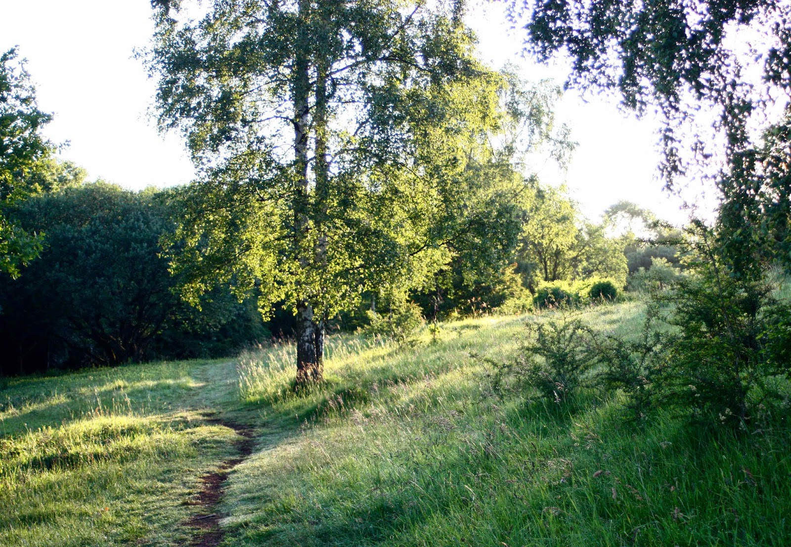
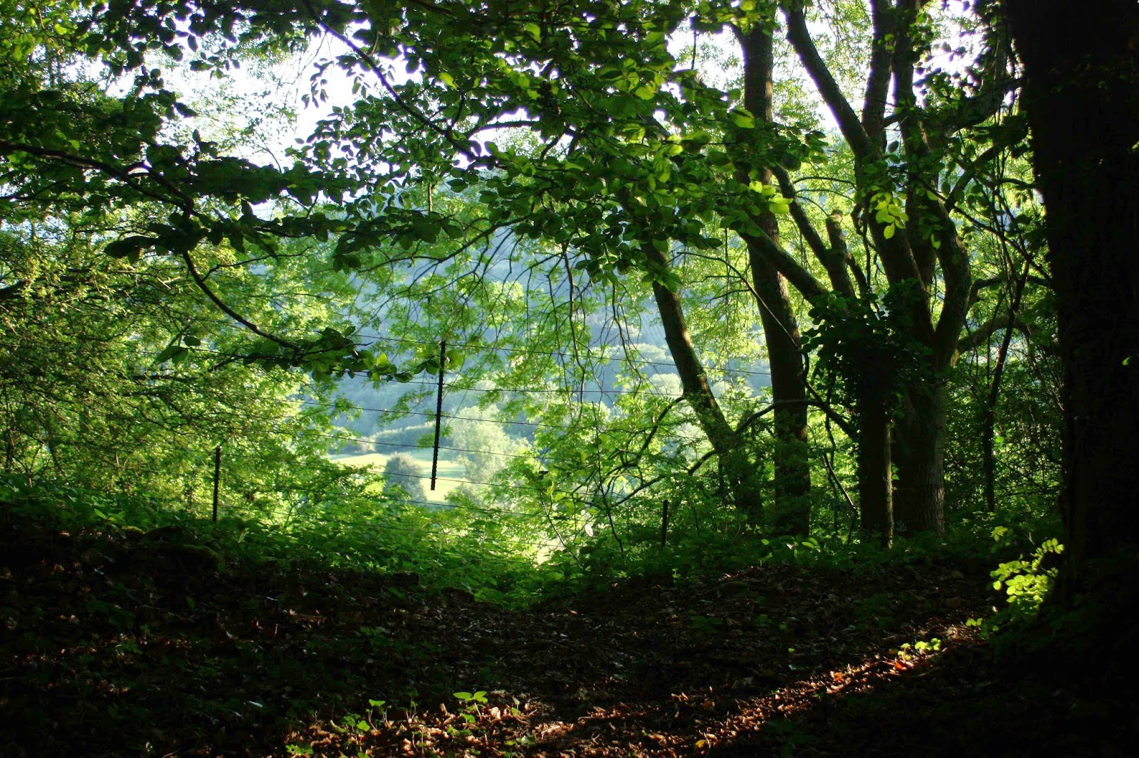
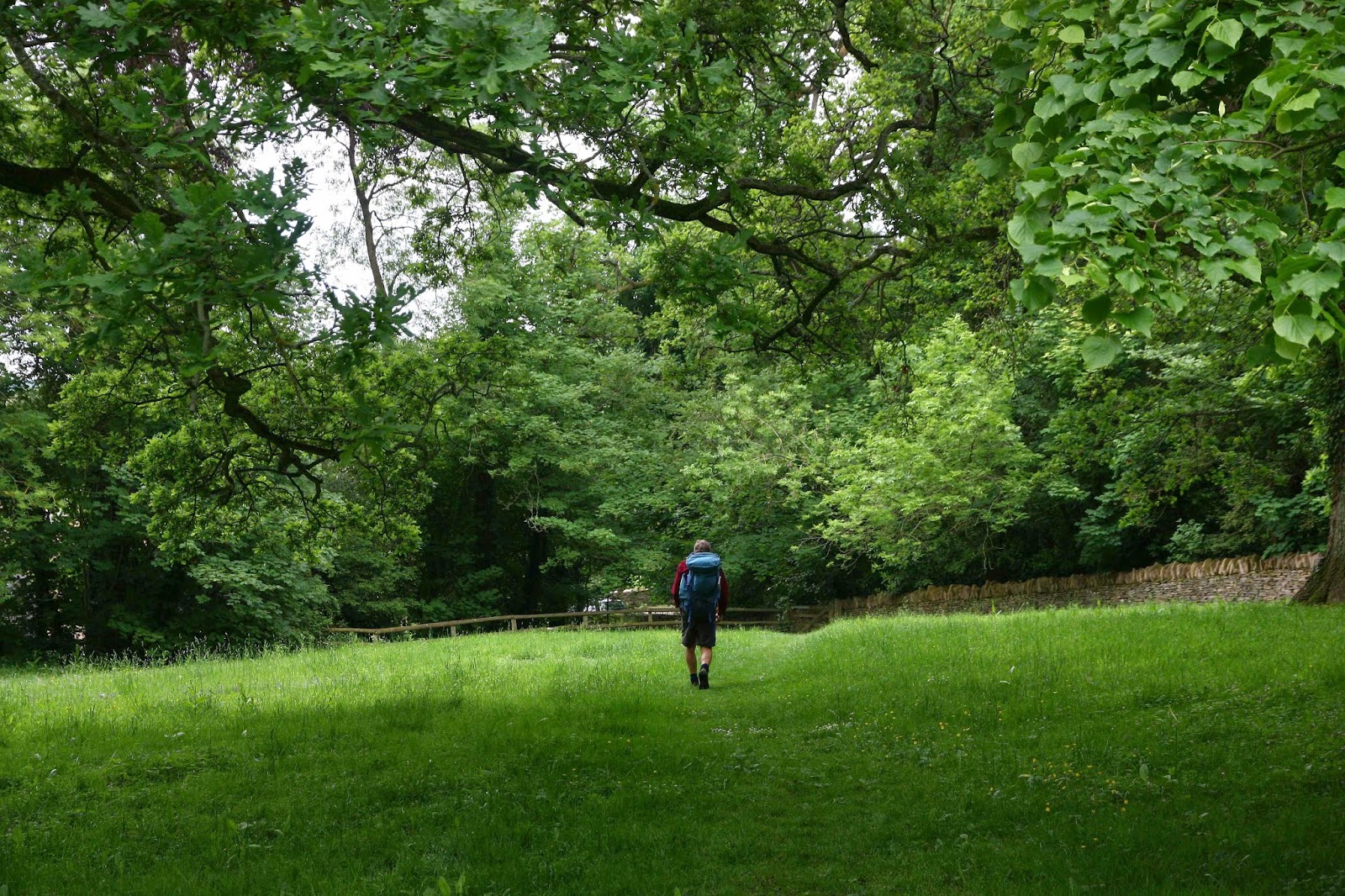
Tonight I have gone through my Cotswold Way photos with a view to writing this article, and feel the most astonishing homesickness for that path that we enjoyed so much. It is not wilderness like our national parks might aspire to, but it is certainly not urbanised, and almost all of every day we wandered at our leisure through woods and fields, past domesticated and wild animals and magnificent gardens, monstrous trees that reeked of history, their beer-bellied girths and gigantically spreading canopies telling their own tale of longevity. Meanwhile, when we chose to, we could interact with friendly country people who seemed to share none of the rapacious ways of the twenty first century. We loved them.

Our route was utterly unorthodox, and designed by me to fit our needs. The first part was done in 2011, and followed the traditional Bath to Winchcombe part of the route as per the map. At this beautiful village (town?) we unfortunately had to stop as our time was finished and we had to fly home. But we were in love, and couldn’t wait to be back (2012) to complete what we had begun – except, because we love it so much, we didn’t want to finish it as soon as the map said we should (we had a mere two days left). In addition, we would leave a bag of weighty stuff at our second starting point (Winchcombe), so needed to finish where we started in order to pick it back up. I thus designed a big circle that continued on past the end of that route, and went clockwise in a huge loop that returned us eventually to Winchcombe. This joined up sections of all the Ways mentioned in the title, in the order in which they occur.

There is something pretty amazing about wandering along, and happening on an ancient fort 5500 years old (Crickley Hill); reading a sign that says the beech trees you’re passing through are some of the oldest in the UK. Meanwhile, Painswick’s churchyard dated to 1377, and the post office there was the oldest in the UK (1428). Belas Knap had a burial ground dated 2500BC. All this history thrilled us.

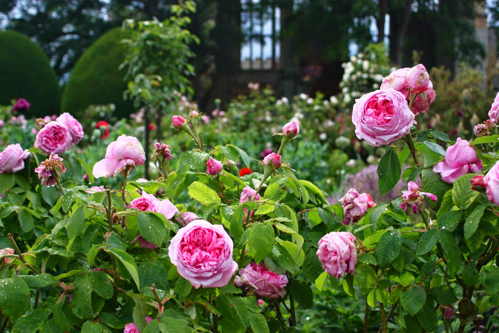
And then we come to the wonderful Sudeley Castle, which originally dates back to Ethelred, in the tenth Century. The present structure, however, is much newer – built in 1442. In 1535, Henry VIII visited the castle with Anne Boleyn. Of lesser interest to me was the fact that Katherine Parr (another of Henry’s wives) is buried there; at Sudeley Queen Elizabeth I was entertained 3 times, and in 1592 was given a spectacular three-day feast to celebrate the anniversary of the defeat of the Spanish Armada. You just roam around, absorbing all this history along with the heavenly smells and sights being emitted by the old world roses – Albas, Gallicas, Portlands and more – thinking yourself back to those ancient times and somehow becoming part of them while you are there.

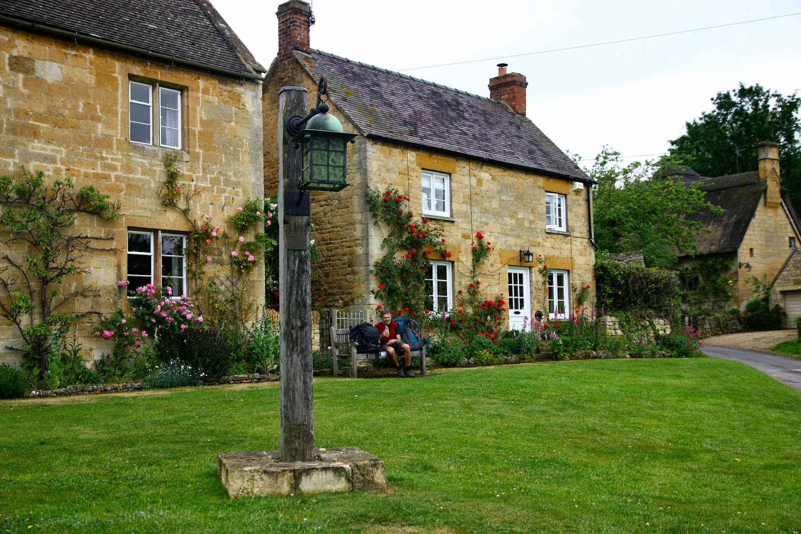
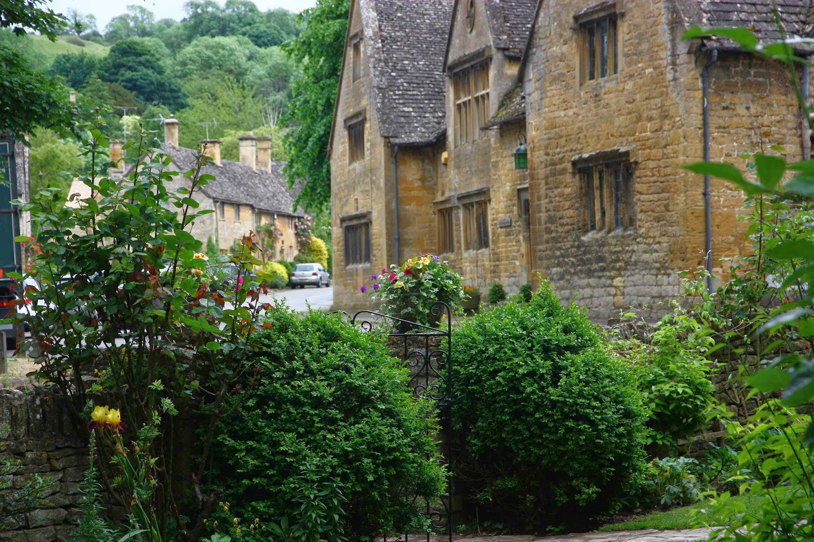
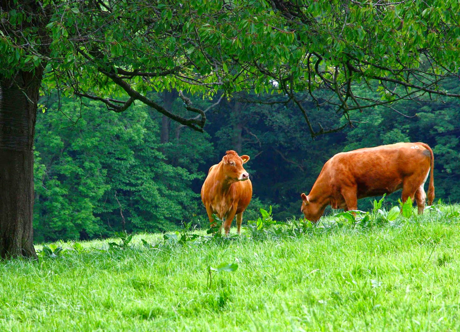
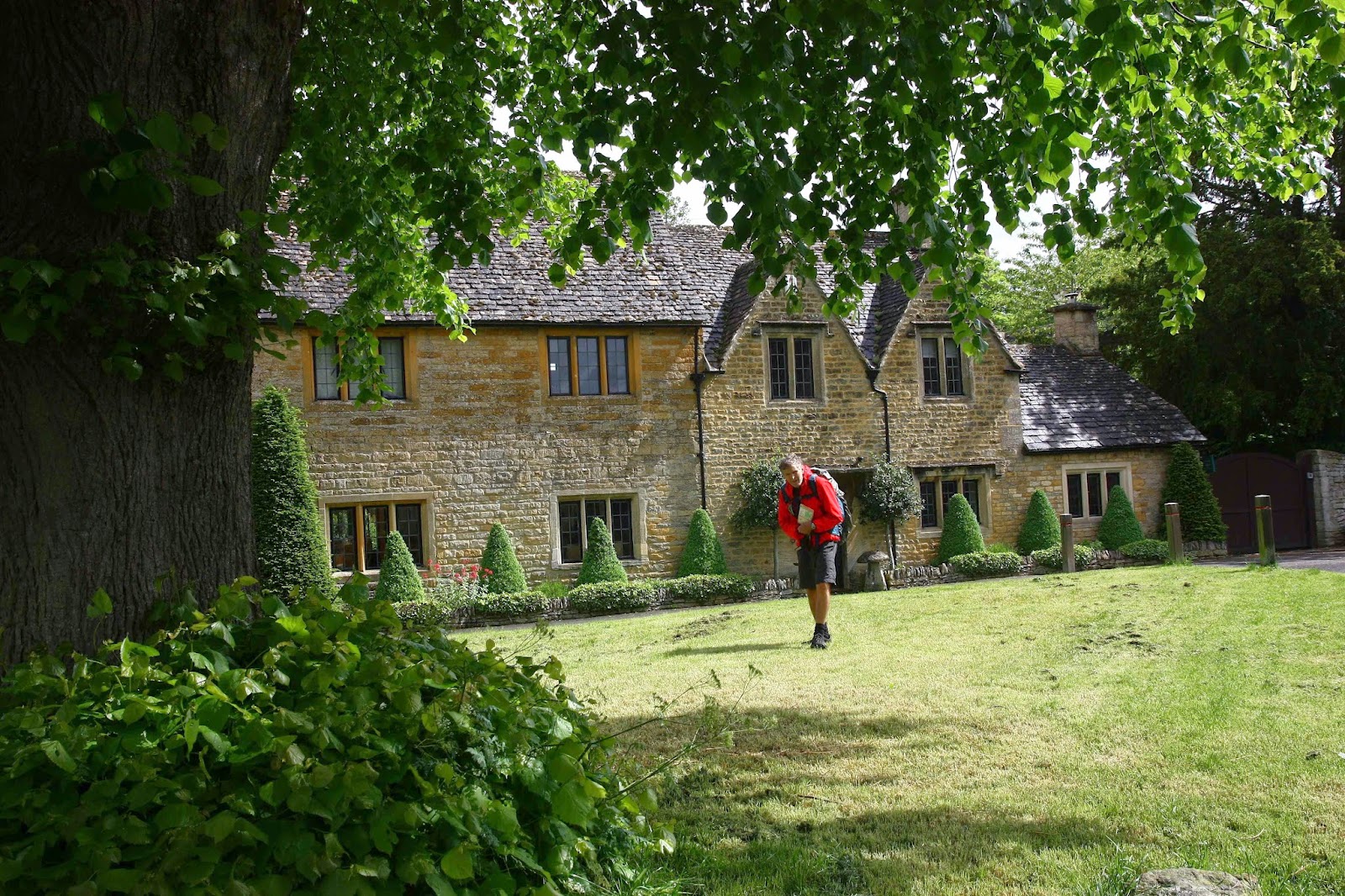
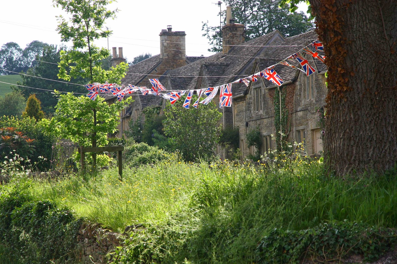
Tiny villages with caramel-coloured dolls’ houses and roses growing up the walls, spilling over the gates, sneaking through gaps in the walls; clear streams with ducks that quack hello as you pass; lush pastures with inquisitive bovines that chew and moo to pass the time of day; little V, a lamb I took a particular fancy to – all these and more are the delights of the Cotswold Way.

And as for the food! Wow. We were fed like kings. Breakfasts where bowls of fresh berries and homemade yoghurt accompanied the cereal were perhaps my favourites. At lunch we usually just had some soup, as we’d eaten so well at the start of the day. Dinner we had fun trying out various pubs.
Unfortunately something that can’t be repeated is the fact that – totally by fluke – we were there for the Queen’s Diamond Jubilee. We didn’t even know it was on until all of a sudden we couldn’t get in anywhere. We never make bookings. For me walking and holidays mean you are FREE, and freedom means no arrangements, no deadlines, no script, no constraints. I’d prefer to sleep under a tree in the drizzle than be a puppet, dictated to by a rigid plan. This is all very nice, except that when the people who actually rule England decide that since the queen has been on the throne for sixty years the people should rejoice. That means the Brits are going to party big time, and there is NO room at the inn – or anywhere else. We walked from village to village trying to find a free place to sleep. It was really tricky, but we always turned up lucky in the end, and had some absolutely fabulous experiences along the way, but I don’t want to turn this blog into a thesis, so I’m going to tantalise you and leave it right here. I will only say that if they declare another party for her 65th, we’ll be there!!!!

SLOVENIA Via Alpina 2010.

Slovenia. Via Alpina 23 May – 2 June 2010

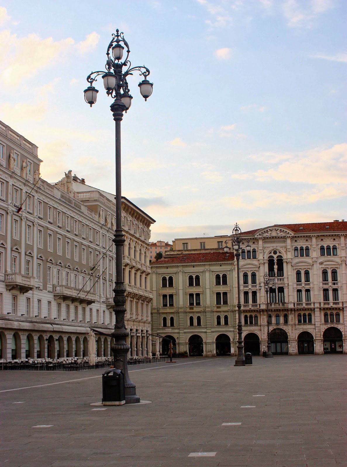
Trieste, our beginning. An excited me explored the silent city before dawn.
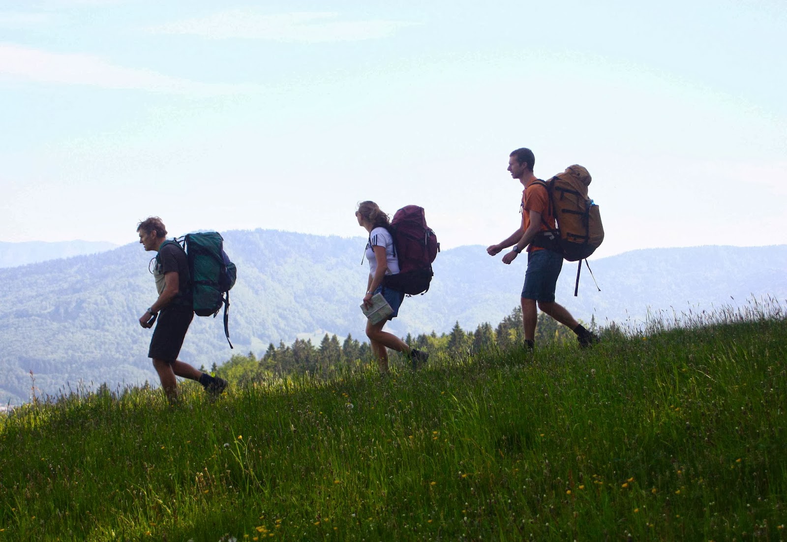
This is a glorious route my husband and I, together with our daughter and her husband, followed from the Mediterranean coast in Italy (Trieste), east into Slovenia, and then north to near the border of Austria.

It wasn’t as if the Via Alpina was a “dream come true”: I had never heard of it before my daughter suggested we do it, but it sounded like a good route when I did my web and book research. Maps were impossible to get from here, but Kirsten said she could get a few in England where they were living, and that we’d buy the rest in Trieste or along the way.

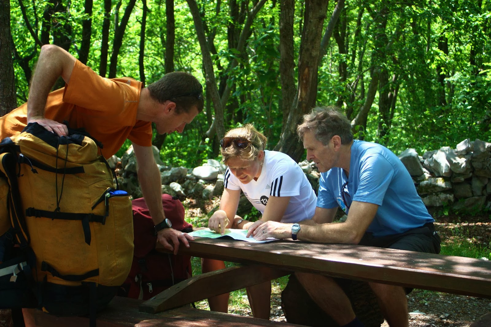
Despite many champion orienteers and rogainers in our group, directions constantly eluded us on the first few days. We were not alone in this problem.

That was a great plan, but on arriving in Trieste, we discovered that Italian shops only rarely opened, as it was a Saturday, or a Sunday, or a strike day, or a Saint’s day. So, we departed almost mapless (having also not been able to get from the airport into town for the same reason the day before … and we would encounter the same problem at the end when trying to return to get our bag of left gear). We nearly left foodless, but managed to find a panificio that made up for absolutely everything by the wonder of its wares. Weighed down with far too much because we could resist far too little, off we set into the mountains to the east of Trieste. Farewell Mediterranean.

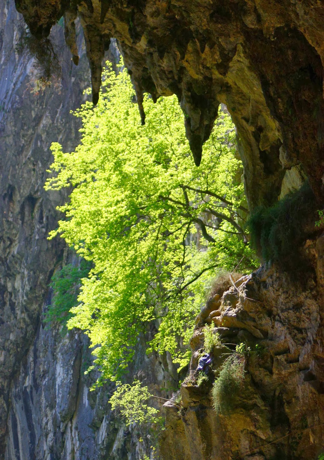
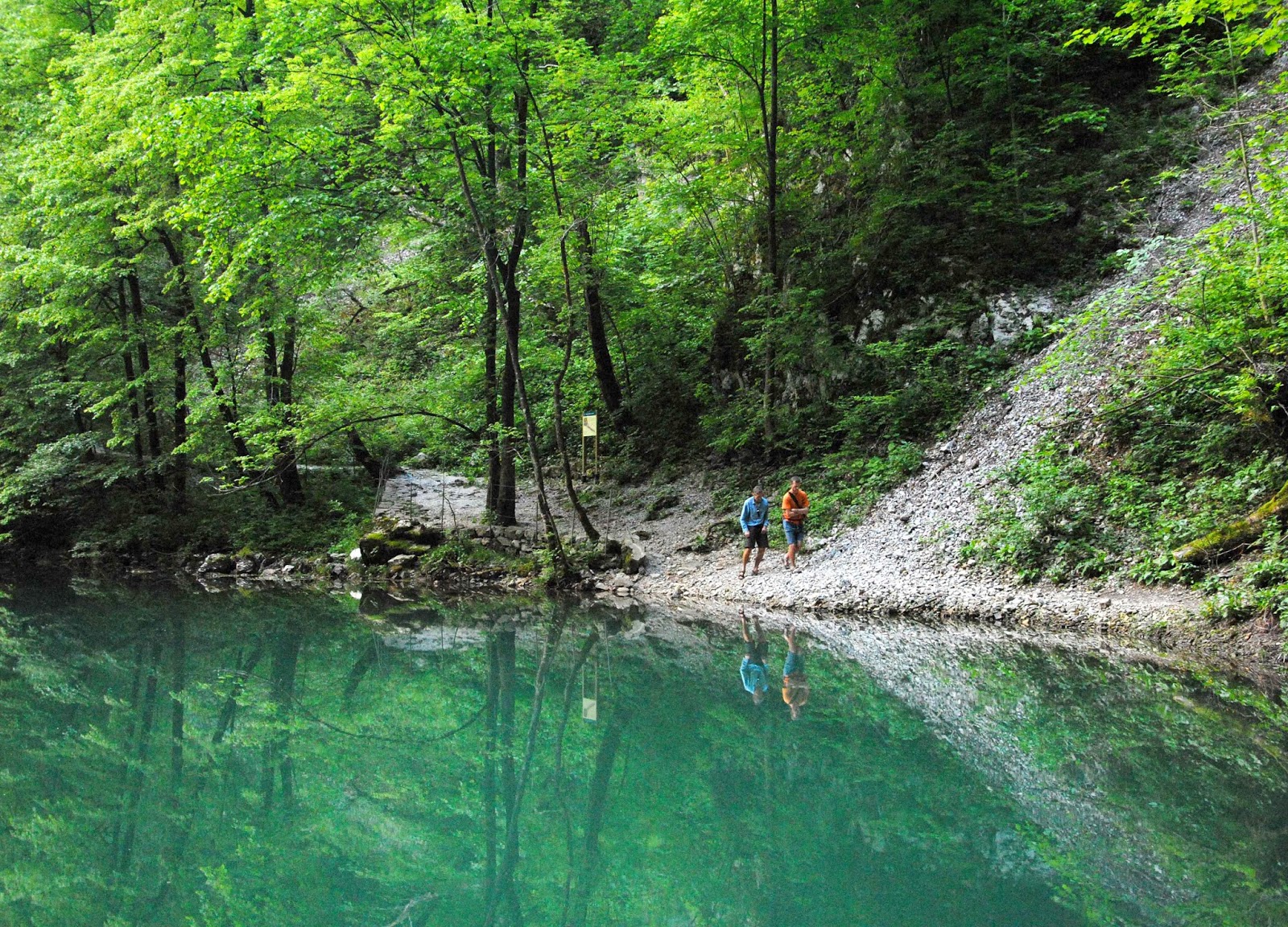
Matavun world heritage caves – wonderful!
 
Near Idrija (where there is a YHA)

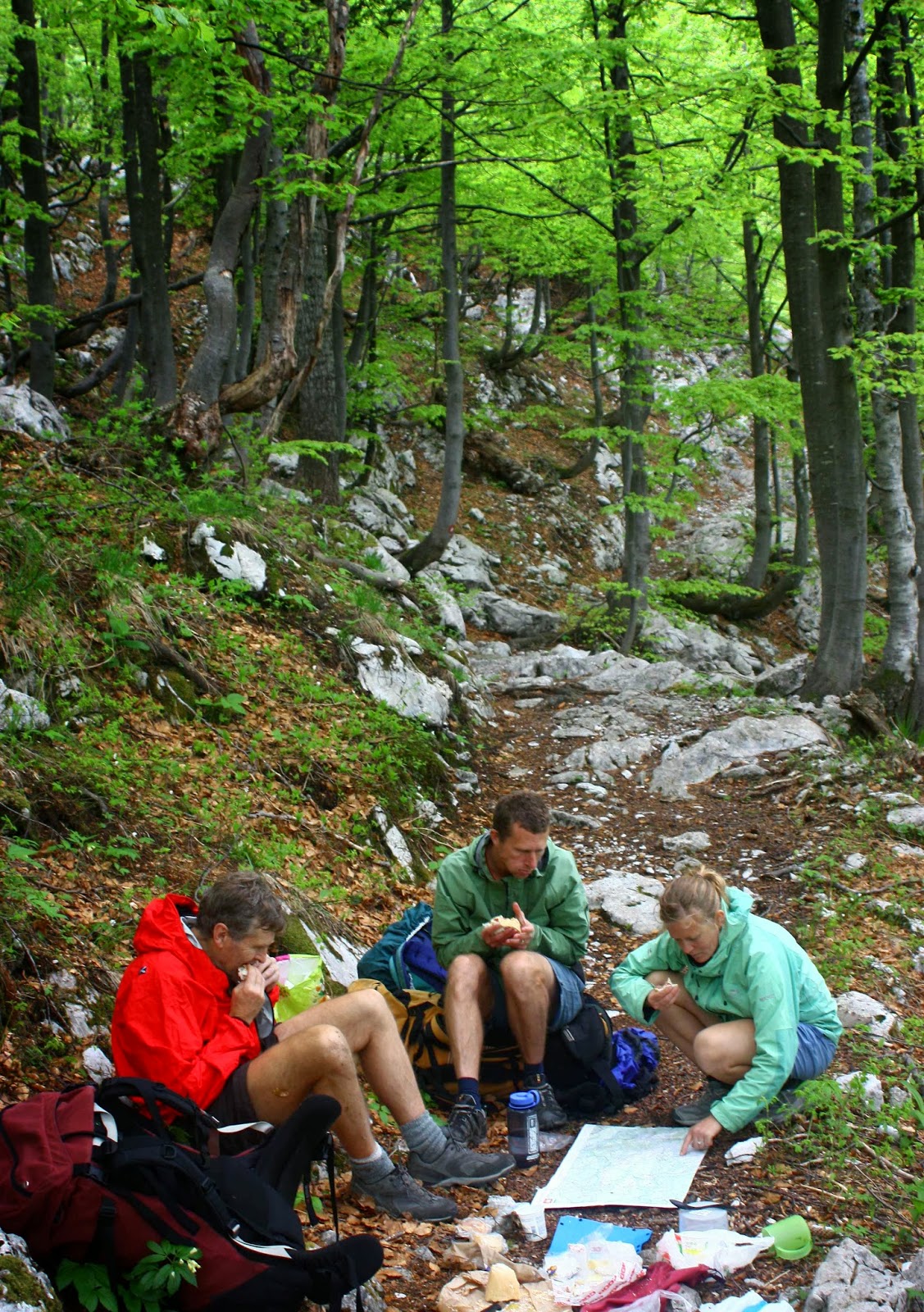
We climbed quite a lot and thus earned the feast that we flamboyantly spread out on a table in the forest at lunchtime. Delizioso. Now the packs were much lighter!

Also near Idrija

As I researched before I left home,, I had read a few references to caves on the first night after one had crossed into Slovenia, at Matavun, but didn’t think much about it. Caves don’t necessarily turn me on. We arrived at the town of the caves hot and bothered and almost without accommodation. The only place that offered beds in the place on the map (which could not be called ‘town’) had an owner who was hiding from the neighbours and kind of from us, until he found out that we were walking the Via Alpina, when he made us more than welcome, and even invited us to a party at his place that night as we would get no other food. Not only was the dinner wonderful, but we had fun at dessert time passing a huge bowl of chocolate mousse around the circle; the deal was you took a spoonful (own spoon) and passed it on until it was all eaten. Sometimes conviviality fails Aussie health and risk assessment standards, but we’ll opt for bonhomie any time. We had a blast.

Near koča na Ermanovcu
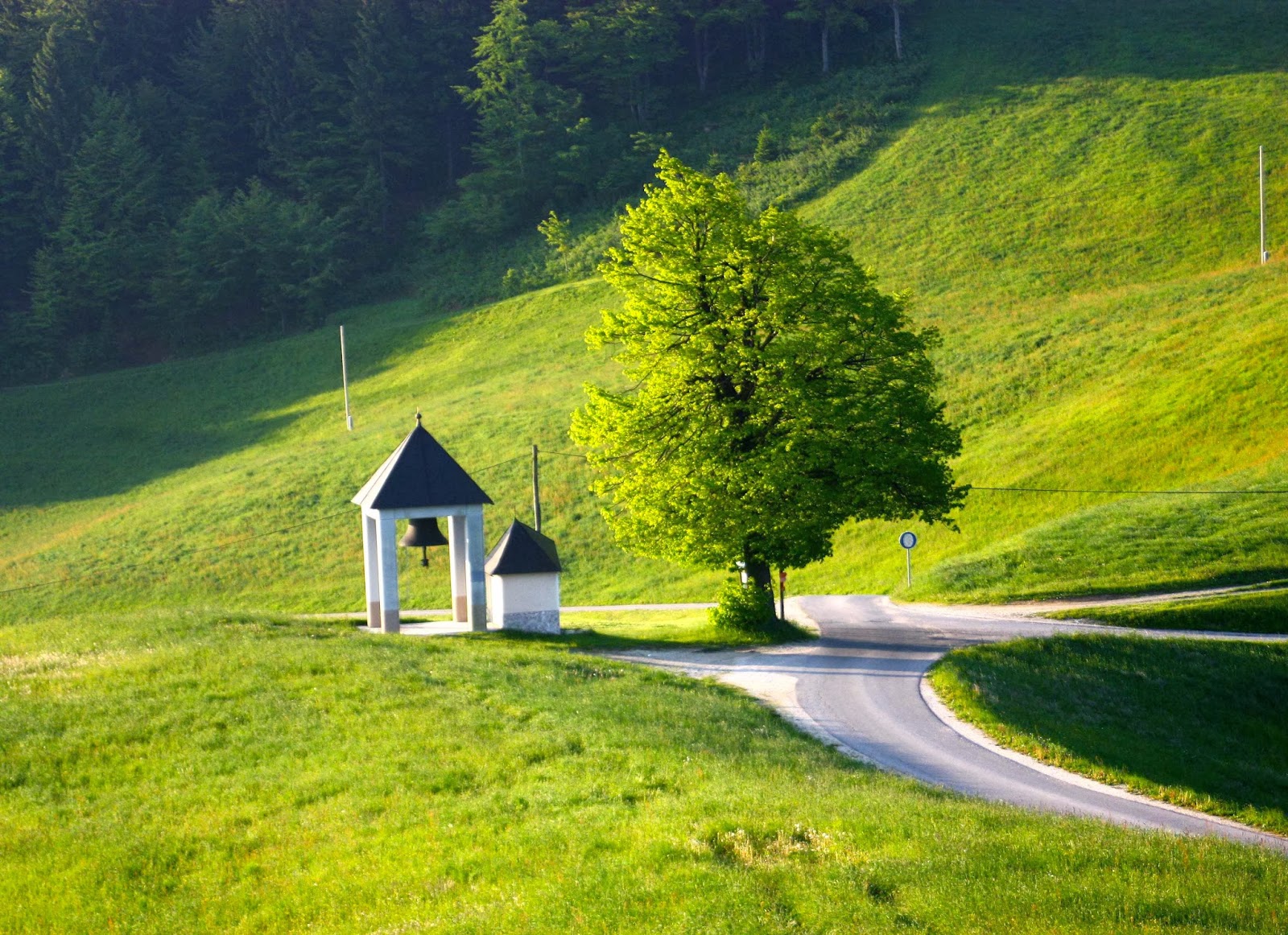
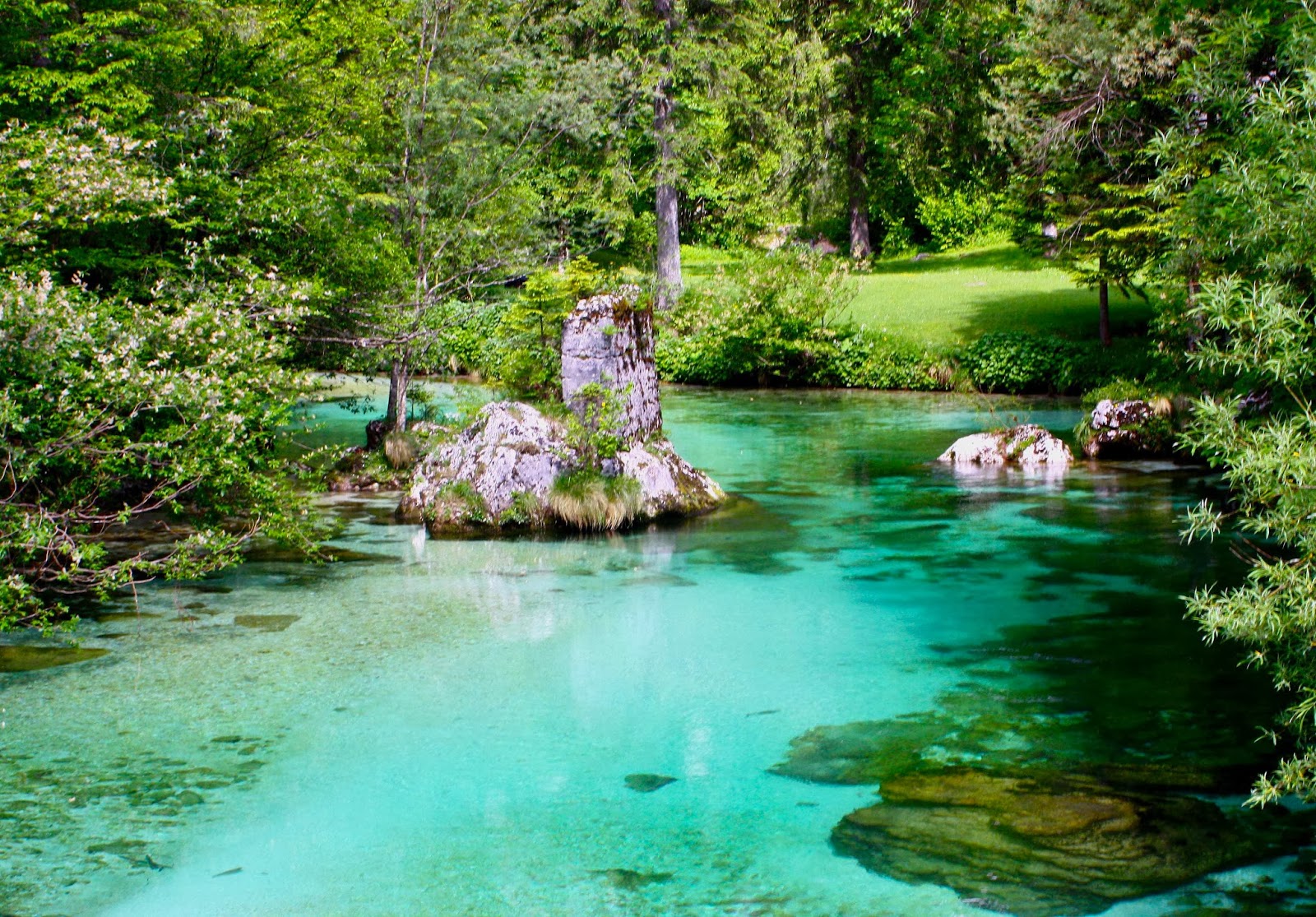
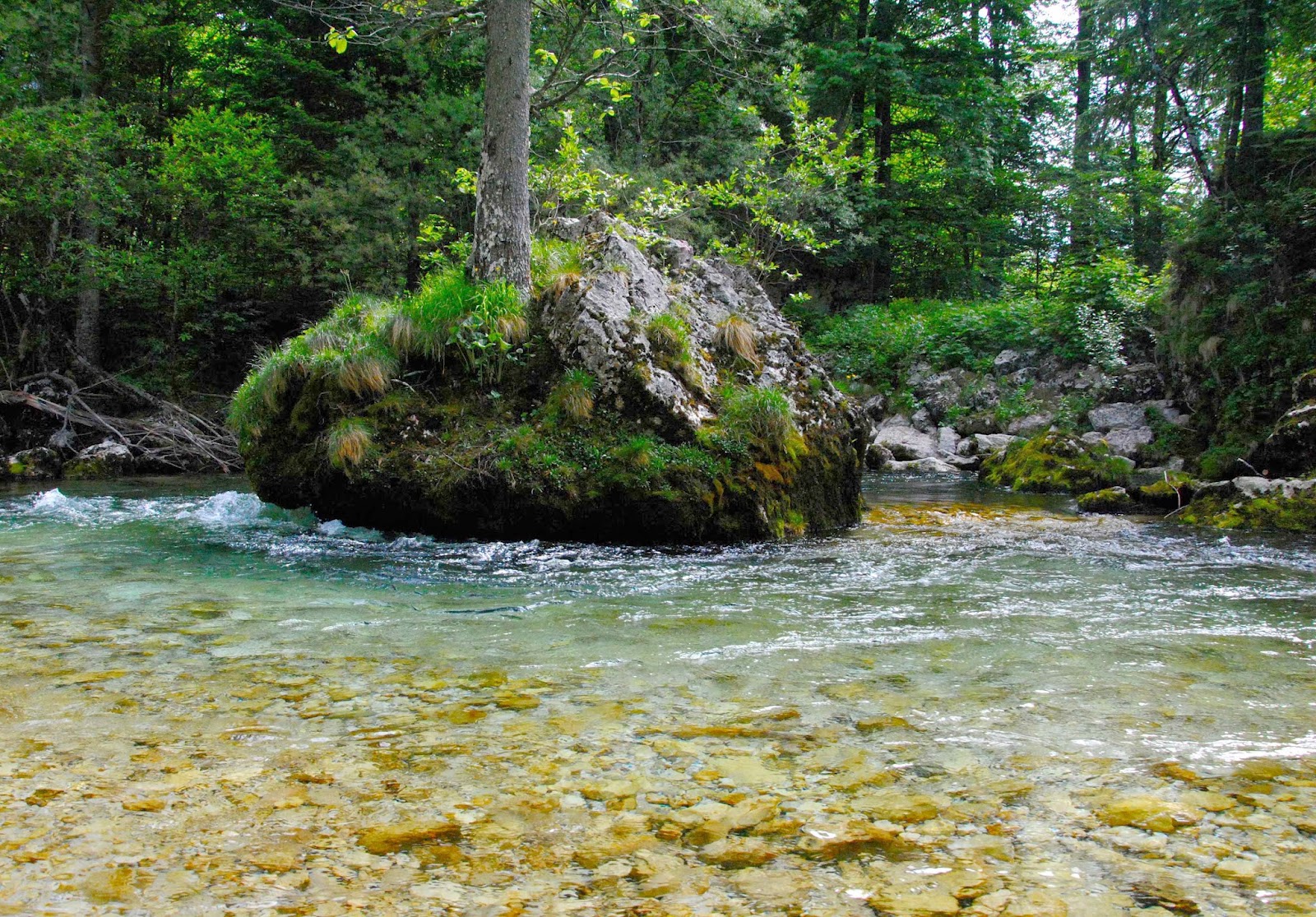
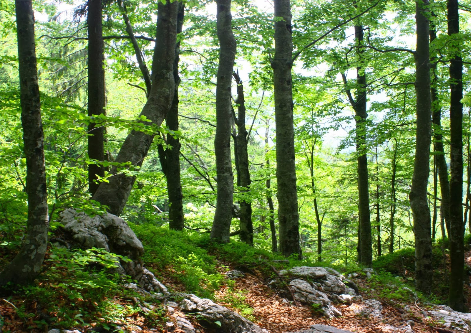
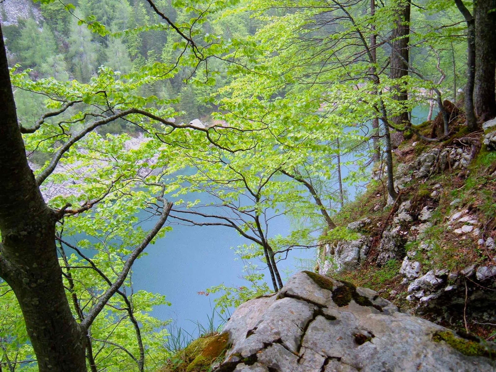
Slovenia, like Tassie, has a large percentage of beautiful forest.

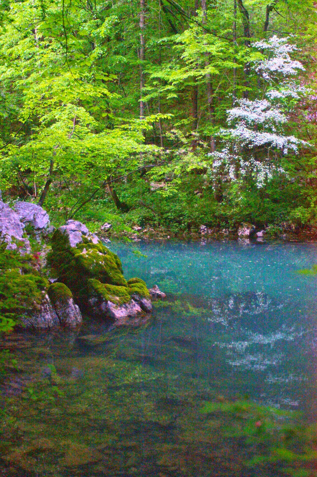
Because it had been so hot, we had headed straight down to the river on the map the evening before, with swimming and only swimming on our minds. The river was magnificent and the deciduous forest a wonderful lush green. Over dinner the caves had yet again scored a mention, so we agreed to check them out in the morning. They’re World Heritage caves, and for a good reason and they wowed us!! (So did the lunch afterwards. It seemed like this was going to be a good trip for eating.) It was also a great trip for costs. So far, everything was a price that more than pleased, and that was to continue for the whole way.

Setting out from koča na Ermanovcu
Climbing higher


Still the map to reality relationship is confusing. On the way to Crna pest.

My pictures will try to hint at some of the other places of breathtaking beauty that we found. Despite all my web trawling, nothing prepared us for the amazing colour of the water (or the friendliness of the people we encountered).  I guess I should also add that anyone we met walking the trail (= , to be honest, one other couple) had the same trouble we had trying to match the map with the ground with the couple of odd markers that we found. This was not a track where you could pop the brain in the back pocket and have everything come to you. The first couple of days were the worst.

Near Ukanc bridge


Same.
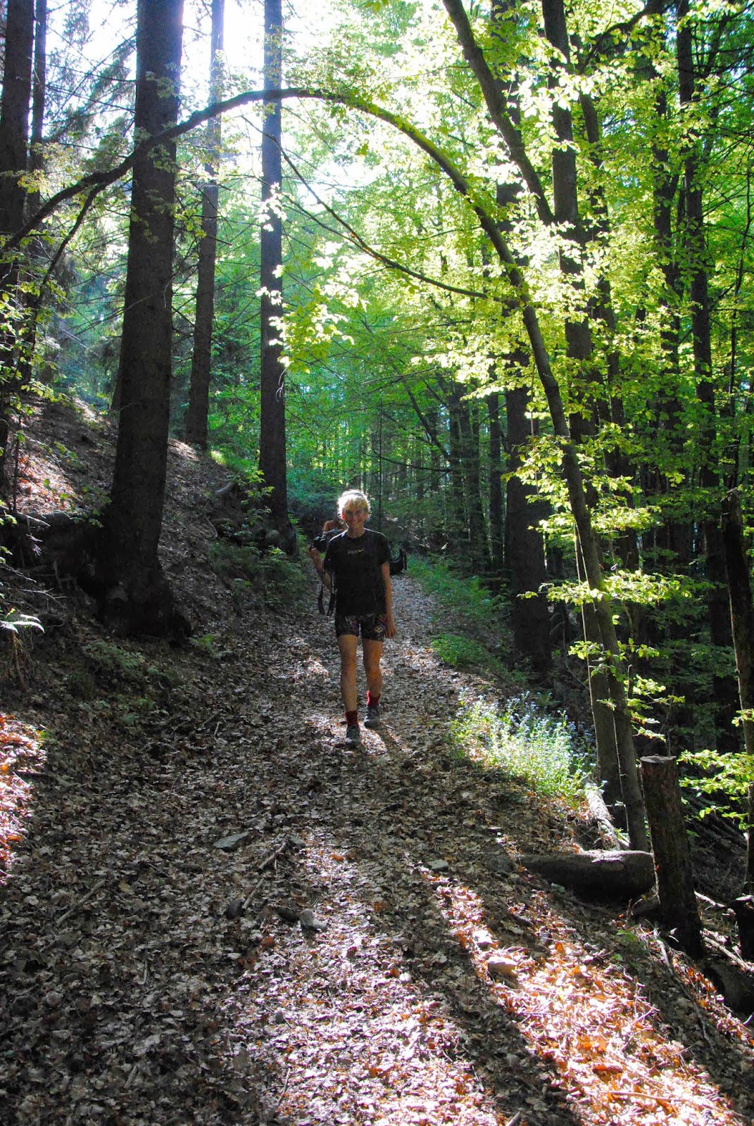
Magnificent forest the whole way (when we weren’t above the tree line). Climbing to Dom na Komni.


From just outside our refuge at Dom na Komni

Any time we found someone to ask their help, the person abandoned all other tasks and devoted themselves to getting us back on track. We, and the French couple we met, were even given lifts to places we were seeking as it was easier to drive us than to explain. When we ran out of food at Petrovo Brdo, the guardian got his brother to shop for us and run the stuff up to his hut.

Black lake, which wasn’t black at all.


Nearing Triglauf, the highest mountain.
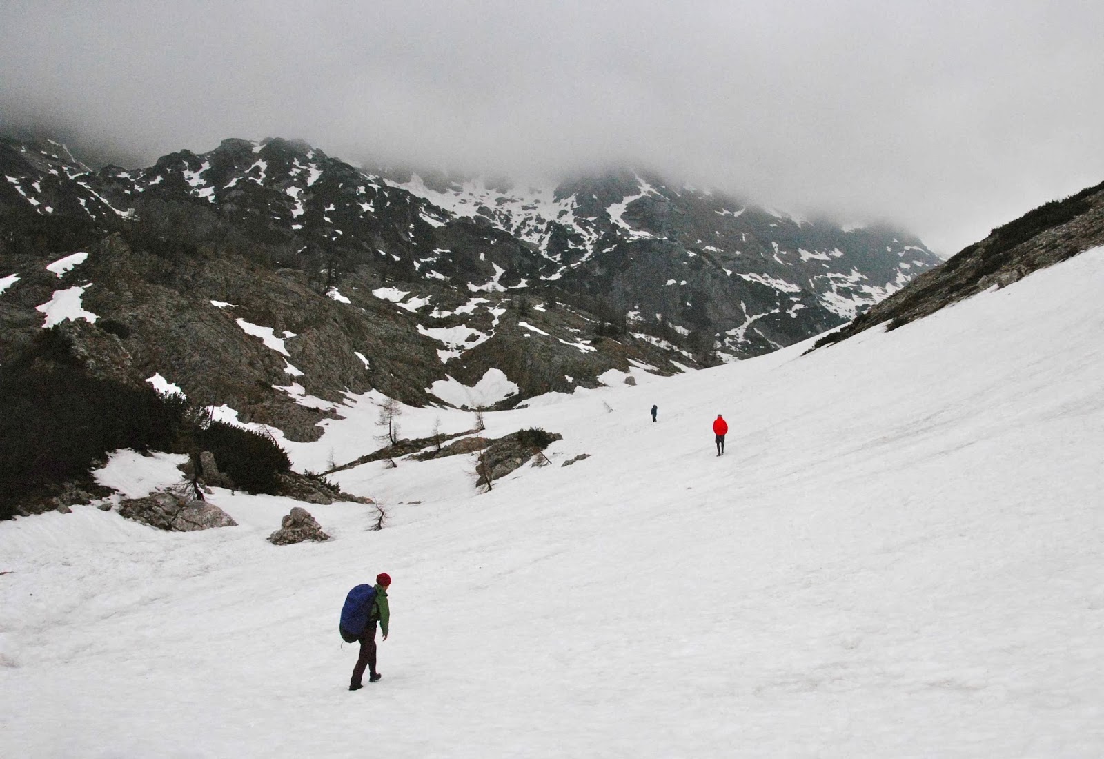
Our route was supposed to take us up the west of Slovenia along the standard trail, to the west of the highest mountain of Slovenia (Triglauf, which I had every intention of climbing) and on into Austria. However, an overabundance of snow and the closure of all huts in the northernmost section, together with the fact that my husband needed a dentist meant that we went as far as Triglauf but then doubled back through the snow and headed east through different mountains and then did the last bit to Bled by bus (where my husband was treated superbly by the hospital).
 
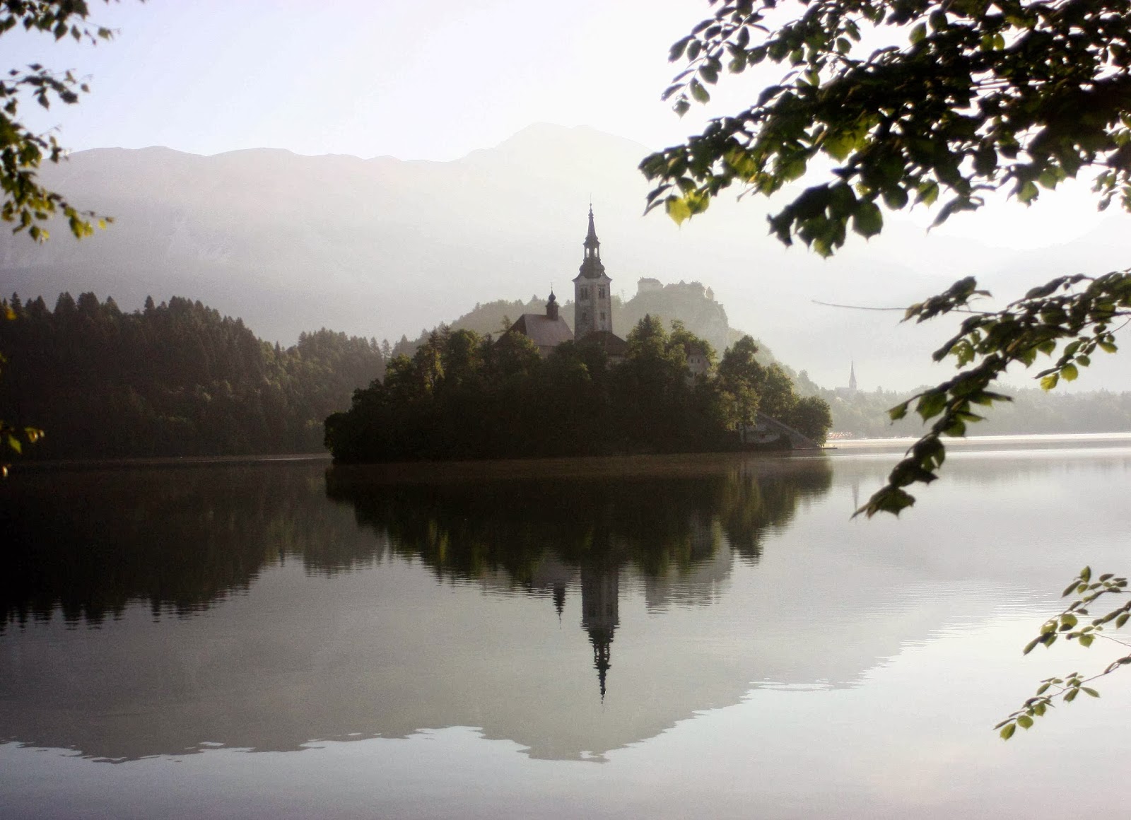
Bled


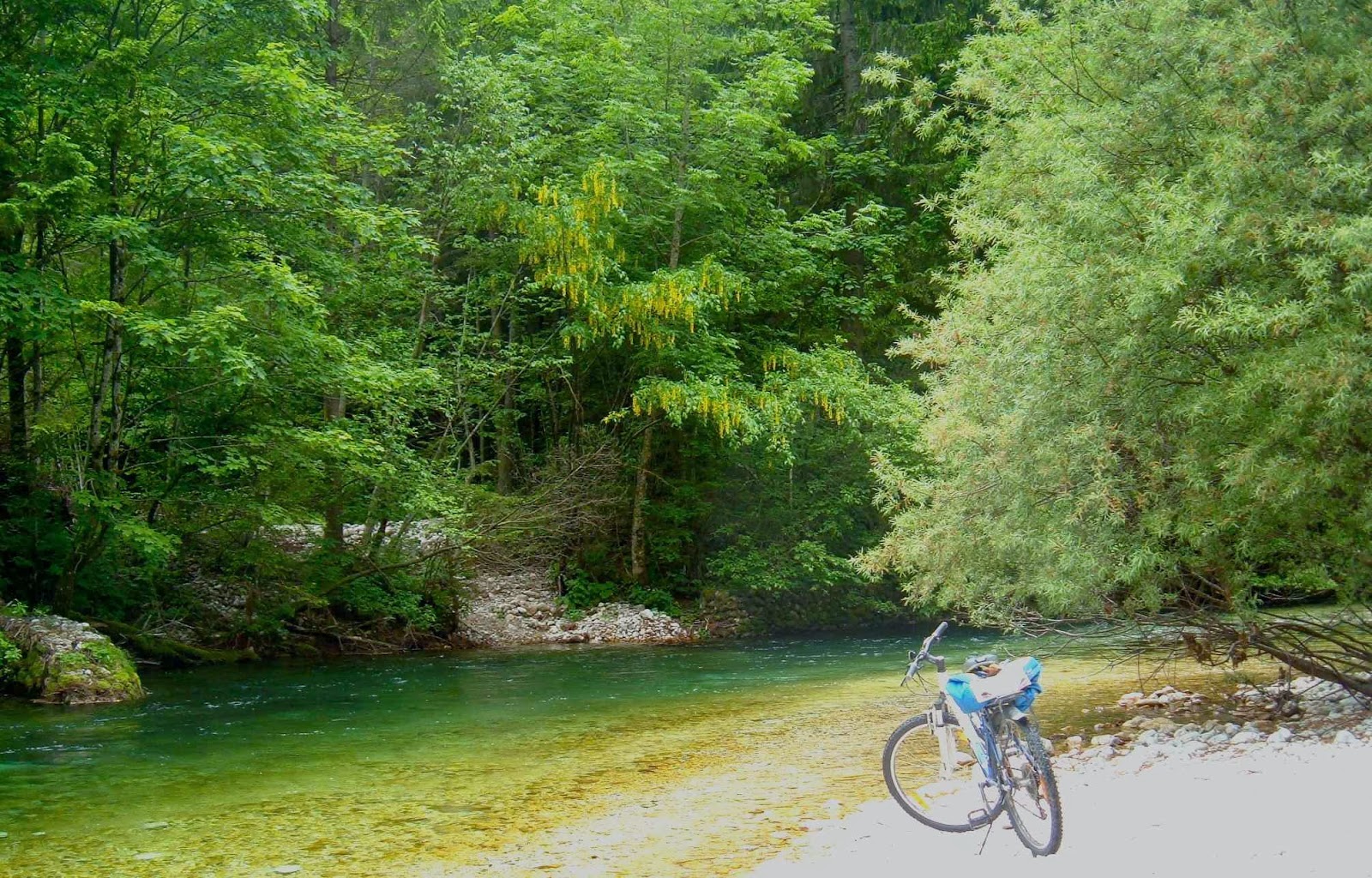
Radovna valley, where we both walked and cycled.


River tranquillity.
Bled was so magnificent, we hired bikes and explored more rivers and gorges and a different national park. We took an unconscionable number of photos, ate a fury, and did more walking and running and cycling. We thoroughly recommend the Via Alpina and its offshoots.
FRANCE-ITALY-SWITZ Tour du Mont Blanc 2009.

Tour du Mont Blanc  14-21 June, 2009
Day 2. Climbing Col du bonhomme
 How many parents are lucky enough to share a mountainous walk of several hundred kilometres with a child and partner? I’m sure we’re not the only ones, but we do feel amongst the privileged few. What is fixed in my happy reminiscences is not really a scene or event but the fact that we were all sharing it together – that we were showing our daughter and her husband something we really loved, and that they were “receiving it” with us.

Day 2. Same col, higher up  
Apart from the joys of walking and talking, or of gazing at wild animals together, sharing meals high on a mountain top gazing out at infinity or laughing together with new friends in the huts, if I try to select special moments, I guess two stand out.
 

Day 3. Setting out after the hut in col de la croix du bonhomme


Day 3. Early


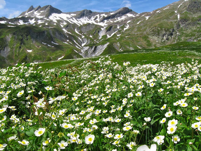
Day 3 Ranunculus amplexicaulis  Above Motets 

One is of my daughter and her love of photographing wild animals. In the Shetland Islands, she took about 400 shots of puffins (so says her husband), and here she tried to equal that record with both marmots and ibex. It is funny as a parent to see your own proclivities repeated in the habits and hobbies of the next generation. I love marmots and ibex and photography, but stop after about 15 shots. I find it endearing that our daughter just keeps on going.

Day 4. Above Col de seigne
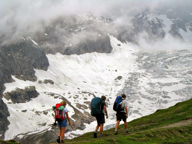
Day 6 Heading for Col grand ferret
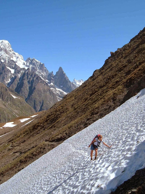
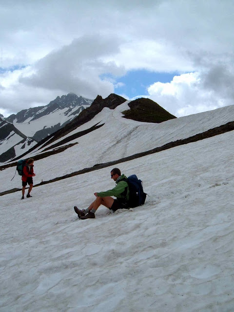
Day 6. Playing in the snow the other side of the col


Day 7.  Ibex near lac blanc
 

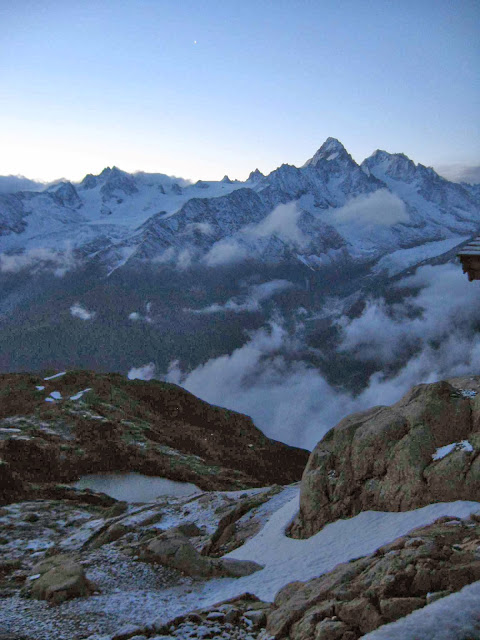
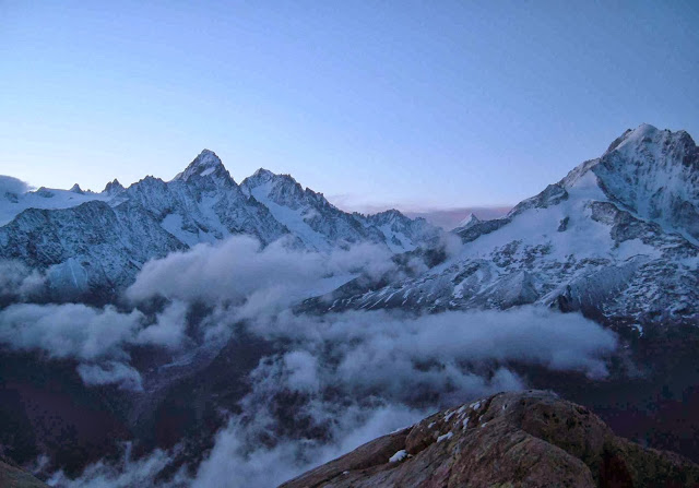
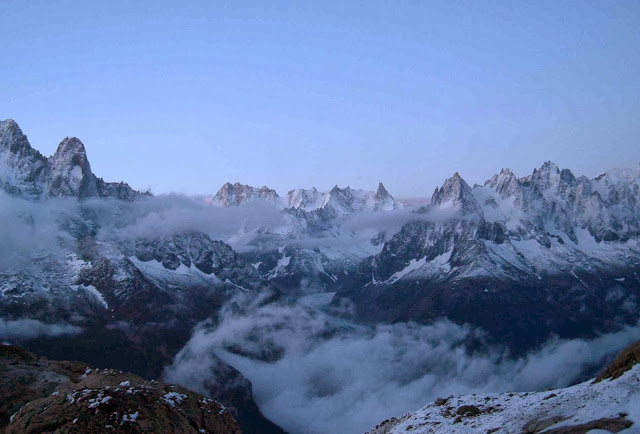
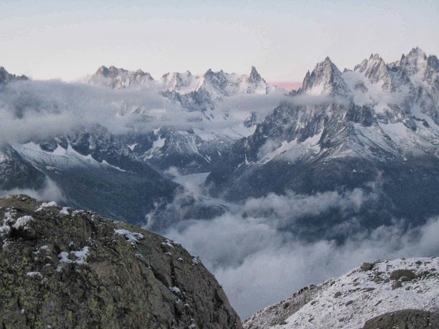
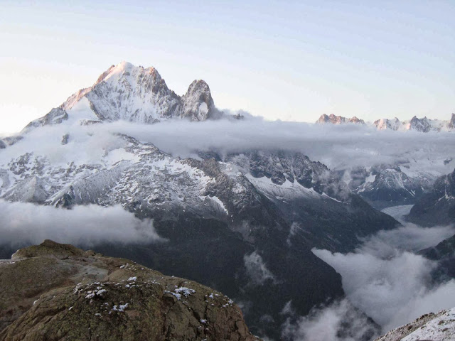
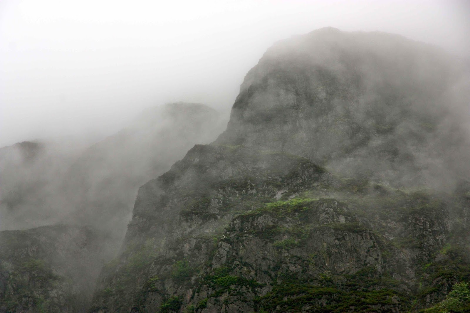
The second is that of our final morning, and what a finale!!! We had climbed to the hut at Lac blanc in falling snow – wonderful, gentle flakes of it – but now I was sleeping in the kitchen (because of snorers). It was still pitch dark when I heard someone moving and I feared I was about to get into trouble. However, the noise was from our daughter getting dressed near me rather than in the room where she might disturb people. “Dawn will be here soon, mum” she said. I rolled up my mat and quickly dressed to join her. There in the steely sky was a white world around us, with the sharp peaks of the Aiguilles du midi thrust into the darkness; Mont Blanc lay beyond. Clouds filled the valleys below. We were very high, and it was magic. For the next four hours we alternated between being outside and photographing the most beautiful sunrise I have ever witnessed, and dashing inside to try and warm up – it was quite a bit below zero out there!


Dawn from lac blanc


Playing in the snow before we descended
And the good news for us was that K and K still had one year left at Cambridge and that we would all do another long walk, same time next year – the Via Alpina. I had a whole year to draw up the plans.