Trestle Falls 2021

I had a free day in Hobart, and there had been good rain about a week ago, so, hopeful that water would still be flowing, I set out for the newly mapped and named Trestle Falls, lying not surprisingly on Trestle Creek, which flows down from Trestle Mountain.
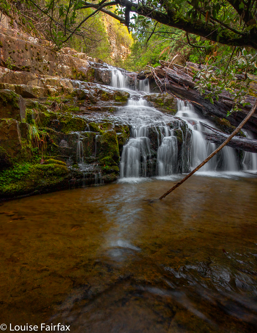
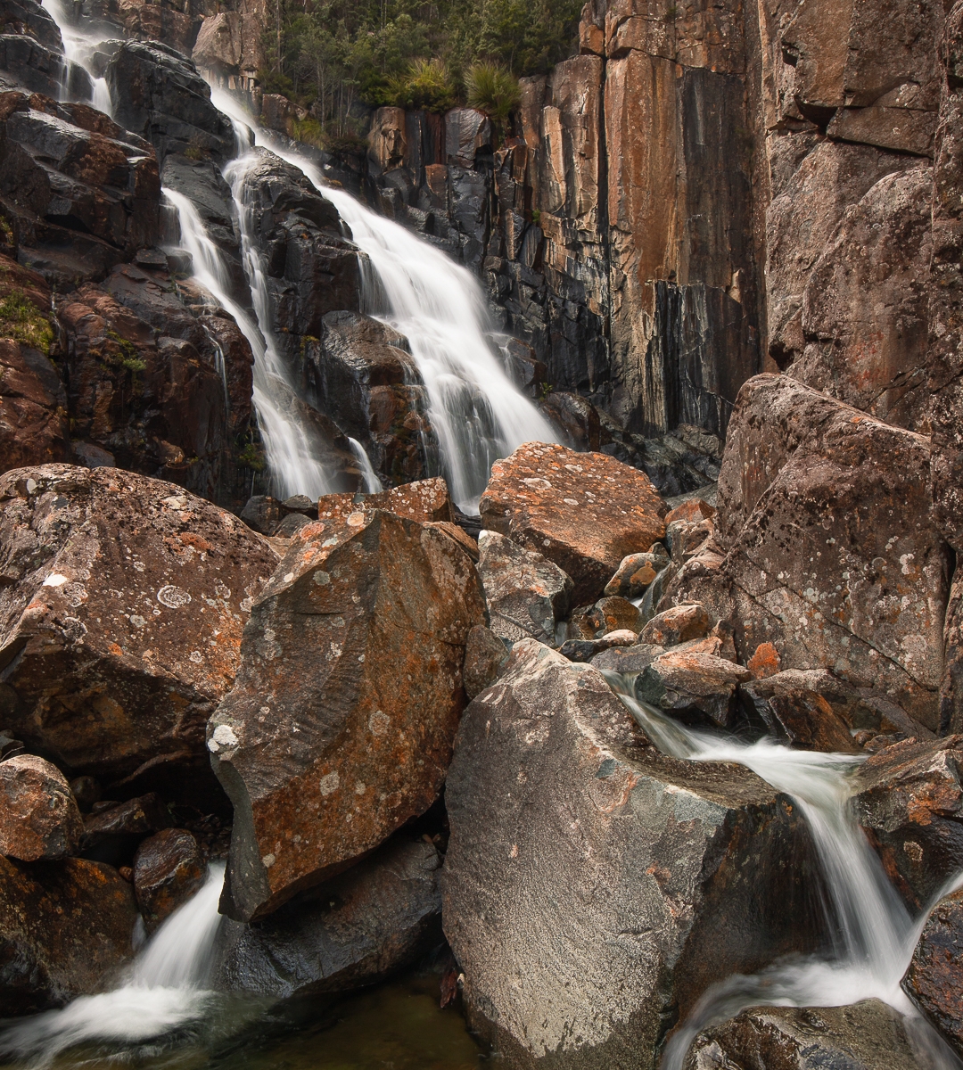
Trestle Falls Lowest

When I looked at the map, I decided the best approach would be via the publess, shopless hamlet of Mountain River, and use the track called Mountain River Trail that emanates from the Mountain River Road terminus.

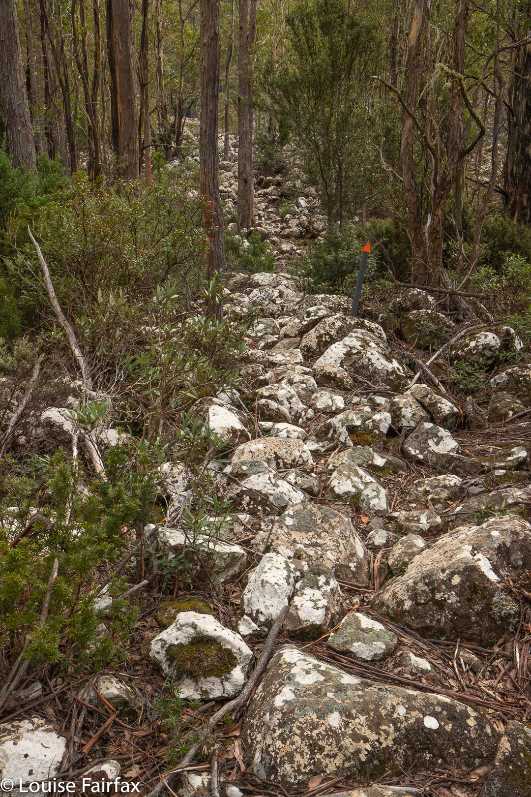
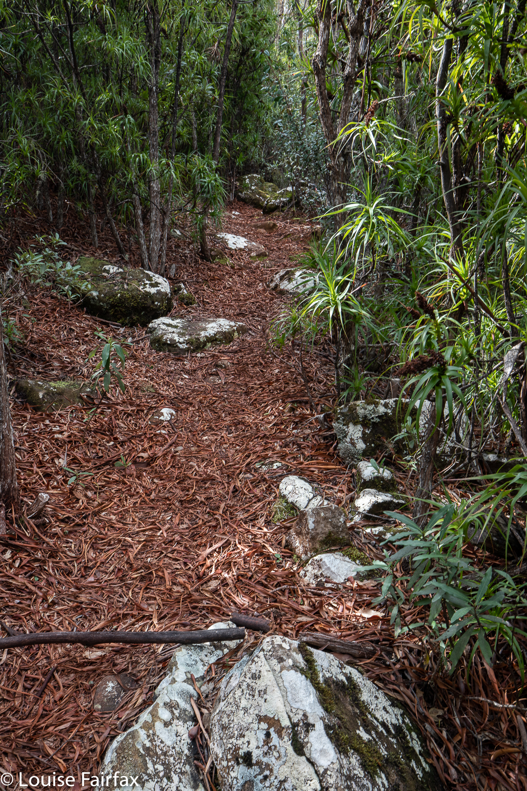
I have actually never used this trail, having only climbed Trestle Mountain using the Mt Connection track to its east. That track was wide and boring. This one was a narrow, green path which I greatly enjoyed. I used the track to gain height; the falls, however, do not lie on any tracks, and navigation and “bush bashing” (not much bashing went on) are needed to get there. There was certainly an amount of ducking, climbing and weaving. This is for experienced bush people. Using the track, I worked out from the shape of the land when I was on the same contour as the falls would be, and left its ease and headed into the bush on contour to reach the lowest of the falls.
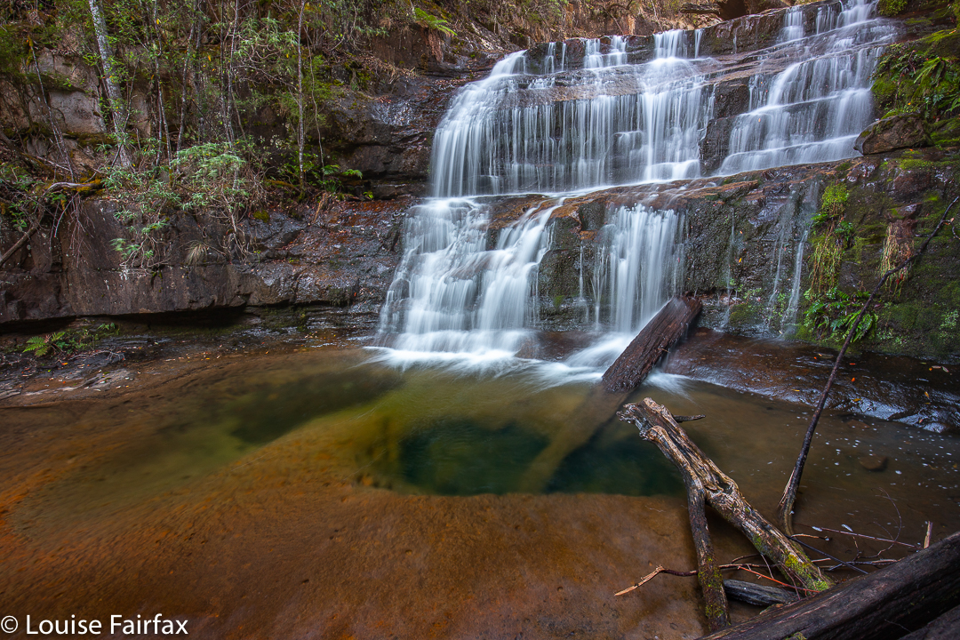
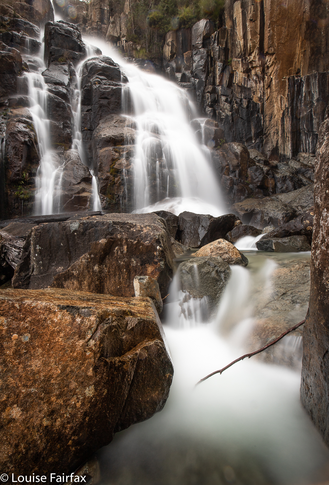
Trestle Falls Lower

The forest was not difficult to traverse, and was delightfully green. Even better, there was, oh joy, no ugly blasted pink tape to mar its beauty or kill the animals. Obviously, this waterfall was in the south, where the population seems to be less inclined to ruin every scrap of bush they can find. (I’m allowed to criticise the north, as that’s where I live. Are there any untaped waterfalls left up there? Don’t say which ones, or they’ll have plastic littering them by tomorrow.)
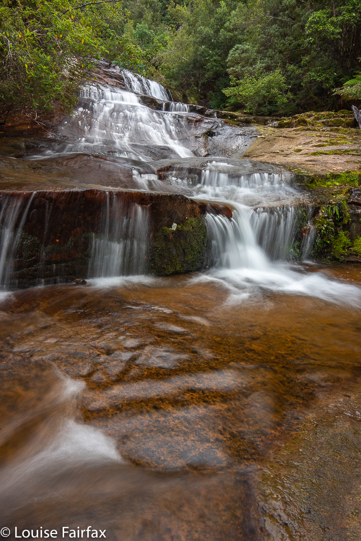
Trestle Falls Middle

Anyway, this waterfall was a “choose your own route and adventure” one, a dying breed, and I loved it for that. I enjoyed the uncertainty of reaching my goal, which makes finding it so much more pleasurable.
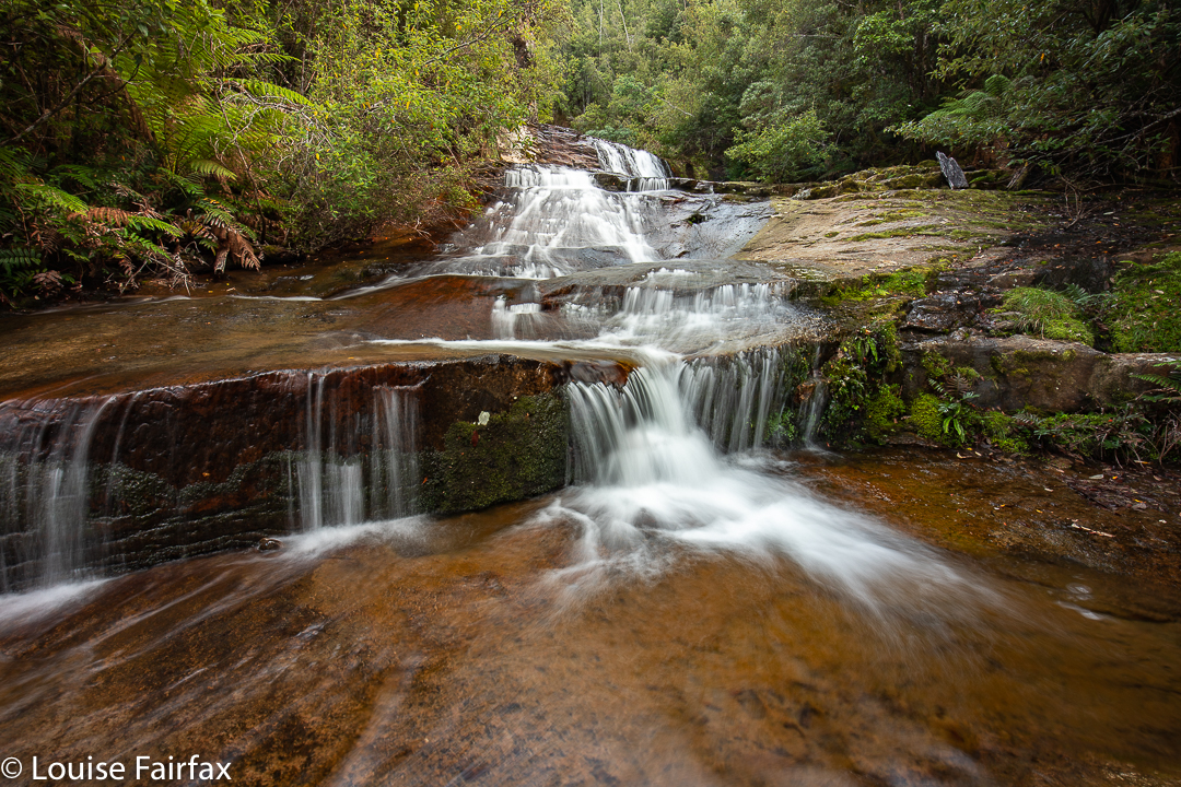
Trestle Falls Middle

I found four waterfalls that I considered to be worthy of setting up and photographing. You could call it more if you counted some of the “doubles”. I didn’t, so called it four. My bottom one, number 4, was lower than the one called Lower by Caedence, so I called it Lowest Trestle Falls. Then came Lower, my favourite. Middle was pretty nice and Upper, well, it was better protected than the others – ie, less accessible – and I’m not sure that the effort would justify a return visit. Definitely, for me, falls 2 and 3 won the beauty prizes. The top falls, that are where the falls are on the map, are certainly the tallest, but size isn’t everything in my books.
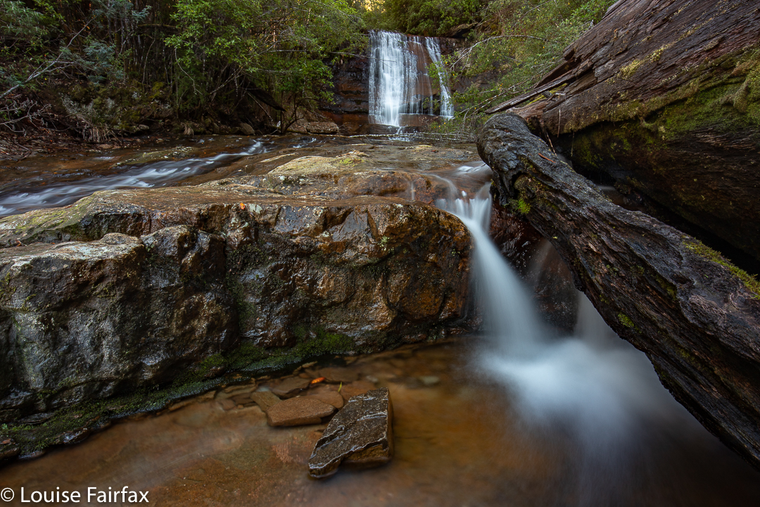
Trestle Falls Upper

My route back was not a good one, as I was extravagant with the height gain out of the top falls, and had more obstacles to deal with at that height. Although it was downhill, and theoretically quicker, I took longer than on the climb up to reach the falls. My route in was 43 minutes from car to the bottom falls, the route out nearer to 50. The catch is that I spent 1 hr 15 covering maybe 200 ms between the top and bottom, due to massive amounts of photography. Even so, I was back in time for a late lunch, and full of joy at the lovely forest I had been immersed in. For me, to photograph beauty is to become united with it. I totally lose myself and merge with whatever it is I am photographing. It is a very liberating activity.

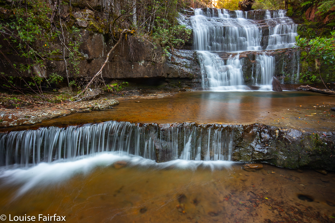
Wellington Falls 2019

Prior to a few months ago, I had not seen or heard anything to tempt me to make the long and not-very-comfortable trip to Wellington Falls, on the “rear” slopes of Mt Wellington. However, a few months ago, I saw a lovely image by Bjorn Baklien that showed me the falls could look appealing. I awaited the opportunity for a day when I had a lot of time and felt like a very long walk, as I took into consideration the fact that the advertised signage indicates that this is a 7-hour trek.  The distance looked big on the map, and I knew from my visit to Disappearing Tarn (en route) that the footy-sized and shaped boulders that litter the way are not “marching” territory, and have to be treated with respect if one doesn’t want to twist an ankle.

Wellington Falls

Luckily, the reality was way, way better than my expectations. Firstly, I took a shade less than 1 hr 45 in each direction, thus halving the time I had allocated. Secondly, I didn’t know in advance, but by Disappearing Tarn, I had essentially done all the footy-stones bit. The actual Potato Fields, which I was NOT looking forward to, were easy in comparison, as the rocks were larger, and very stable. In fact, today everything was easy, as the rocks were dry, and none of them moved under me. Possibly the worst aspect was that I saw my first snake of the season, underfoot where I was about to tread. I informed Mr Snake that it was only September and he should go back into hibernation. I guess he had come up from Snake Plains, as he was just after that turn off.

Wellington Falls Track

So, here’s how it all took shape: Having driven down from Launceston that morning, I went straight to The Springs, and parked at the “higher” carpark, the one just after the road divides in that area. I walked on the Pinnacle Track steeply uphill for a mere 2 minutes, after which it was time to turn onto the pretty flat Milles Track, which I followed to the left (initially SSW but then swinging nearer west) for 28 minutes, when the Snake Plain track joined the path from the left (south). Along that Milles Track section, I enjoyed fabulous views (although a little hazy, so not worth photographing, but definitely worth imbibing) out over Hobart City far below to the expansive blue waters and hills beyond.

Wellington Falls Track after the Potato Fields

A further 26 minutes of the worst part of the track – through dry forest with the footy stones underneath – saw me arrive at Disappearing Tarn, from whence the track climbed upwards through the equally dry Potato Fields (but totally firm and easy underfoot), and then entered a delightful grove of Richea dracophylla, with masses of rich brown leaves underfoot and mossy rocks. The final few minutes involved a steep descent to an intersection below, above Wellington falls with tracks coming in from other directions (one from the Pipeline Track, well below on that side, and the other from the Cathedral Rock area in that circuit, across the river). Not far from there is a side track to a lookout over the falls. I stopped my watch (1 hr 44), and then just took my time, descending to the very base of the falls, and inspecting various rocky outcrops for photographic possibilities.

Wellington Falls – half way down

The way back took in total the same amount of time as the way there, although the splits had different values due to different inclinations in the opposite direction. I had lunch in the Tavern at Fern Tree, coffee down lower at Ginger Brown, and was finished everything (i.e., all the eating) by exactly 3pm, school pick up time.

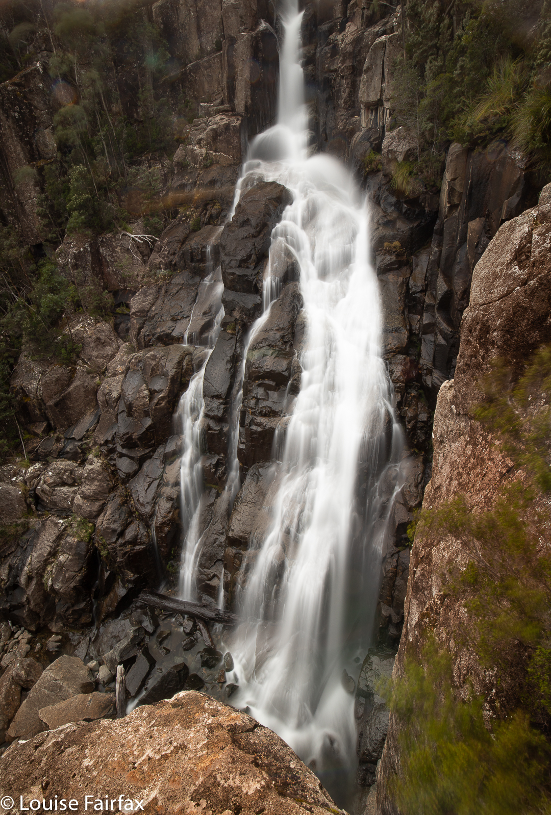
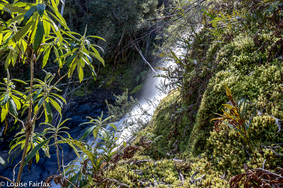
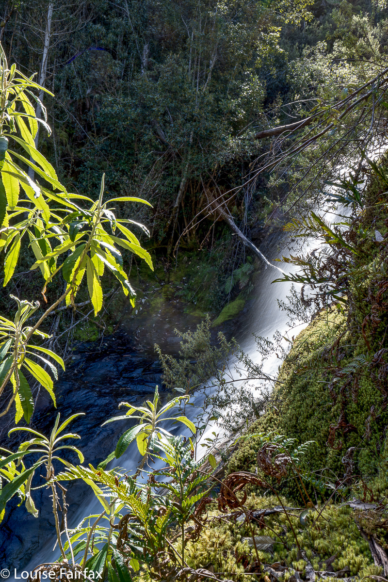
Willies Falls 2018 Oct

Willies Falls 2018 Oct

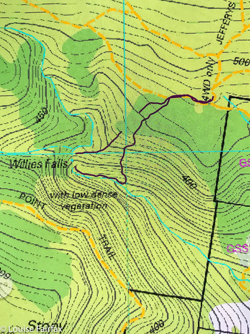
The sign at the start of Jeffries Track, leading (kind of) to somewhere near Willies Falls, did say you needed a quality 4WD and warned of ditches and bogs, but the way ahead seemed innocuous enough, and surely that was a notice for wet winters and not this dry October. We would drive as far as I could, and then stop. That seemed a good plan. Ha. The first few ruts were sort of bearable and well, by the time we realised we were in trouble over our waists, we were actually in over our necks. I just had to keep going forward and hope against hope to get as far as the intersection on the map where turning was possible. I was a bundle of shaking nerves by the time I parked. Meanwhile, my daughter was eyeing up the thick scrub and hating all that she saw. I assured her the bit nearest the light was always thickest, and that it would be much better once we got into the forest proper. I forced my way through the dead branches and cutting grass with merry bravado to encourage her.

The forest really was lovely once you got properly inside, but my daughter’s concerns turned from her lovely tights that were endangered by this scrub to  the fact that the cliffs were so steep and the grip on her shoes so minimal that falling and not being able to play the next game of touch football was a danger. “You didn’t mention bushbashing”, she accused gently. “Well, plan A didn’t have any, but we took so long to get here that I had to change to plan B …. which does have just a little.” I tried to wriggle out of this as we lowered ourselves precariously through amassed contours. Her face told me all I needed to know about the level of enjoyment she was experiencing.

At last we got to the base, except, because my map didn’t actually have the falls marked, I had to “aim left” (downstream here) and then work my way up to where the falls were, so as to be sure, which meant the bashing lasted longer. She was reconciled when she saw the lovely falls, and took it all in with good grace, even agreeing that it was beautiful down there – although not volunteering to ever return. She felt much better about the way back up, knowing what lay ahead, and so was more secure about things. It will be a long time before she goes “bush bashing” again … if she ever does.


I’ve put this route in dark magenta for a change as there seemed to be too much cyan on this map. The breaks in the line are just the gps turning itself off by mistake. The route is still clear if you join the lines in your head. The first line stops at the base of the falls. The second begins near the top and then has a random break in it on the way back up the spur that we followed.
(These falls are on the southern part of the Mt Wellington Reserve.)