Scoparia hunting 2018 Dec
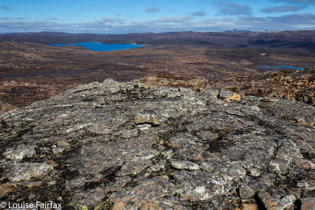
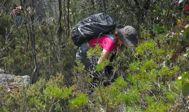
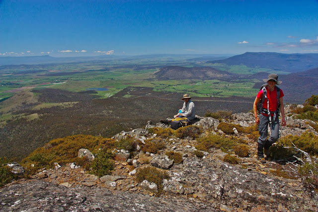
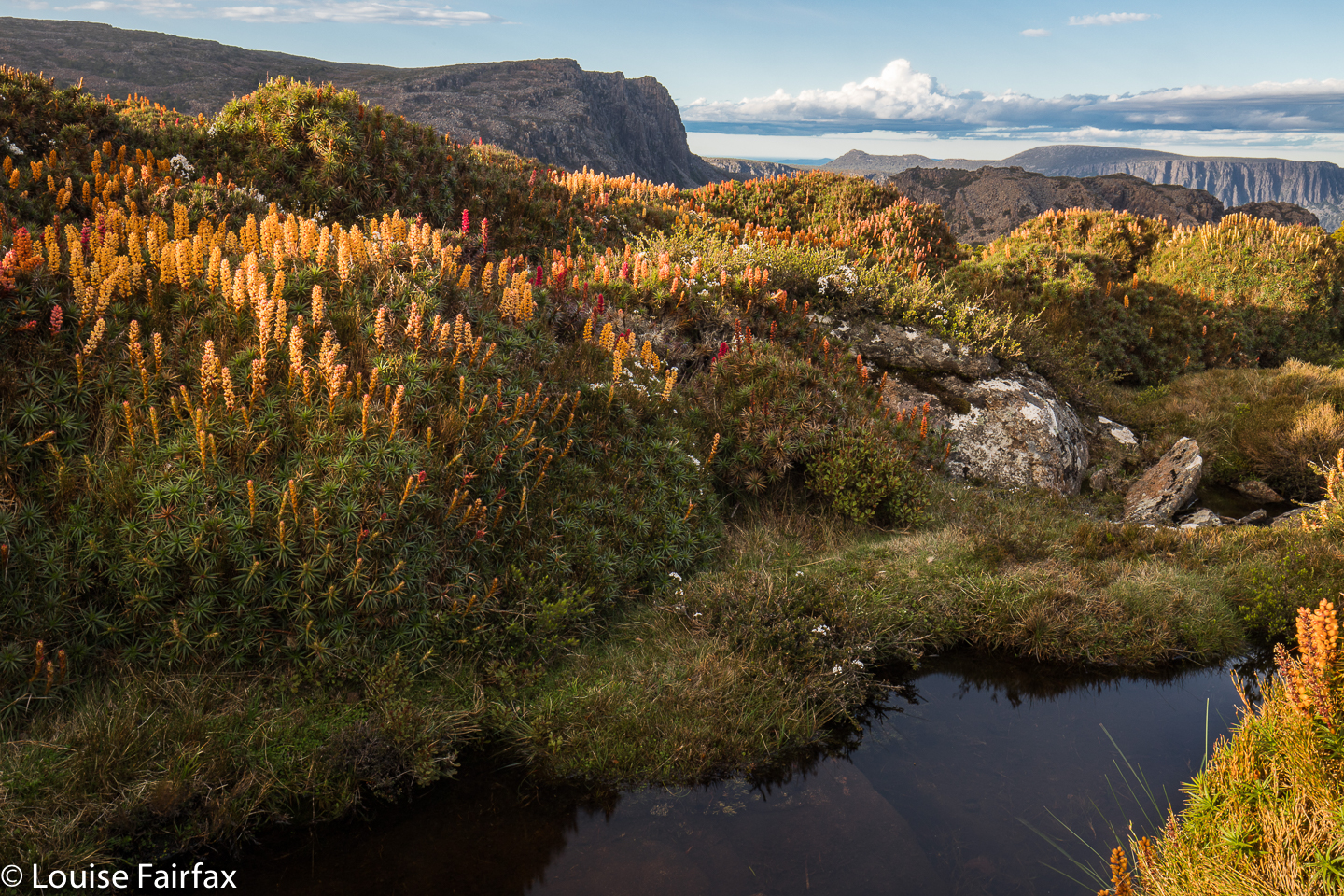 My photo collection for 2018 has a disproportionate number of images of beautiful waterfalls, and a sad shortage of mountains. As I love mountains even more than waterfalls, I decided I’d better use my single chance before Christmas to get myself high and hunt for scoparia while I was at it.
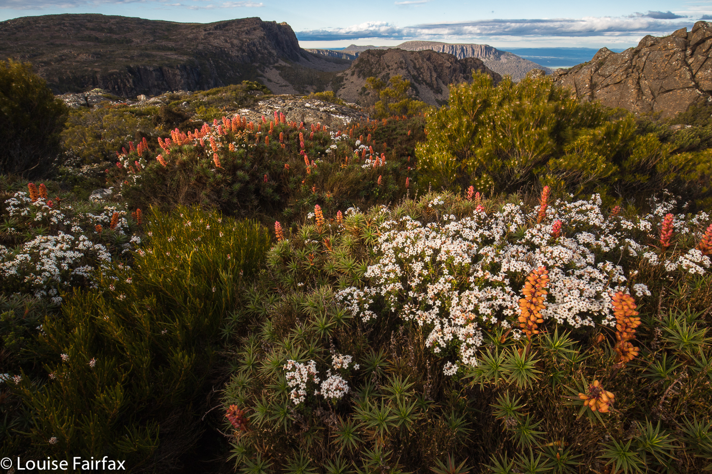 It is now very hard for me to get into the mountains, as Tessa (my dog) misses Bruce as much as I do, so I feel terribly guilty any time I leave her, and most mountains are in National Parks, so she has to miss out. Into the kennel she went in the early afternoon on Monday, and I promised her I’d be back before twenty-four hours had elapsed.
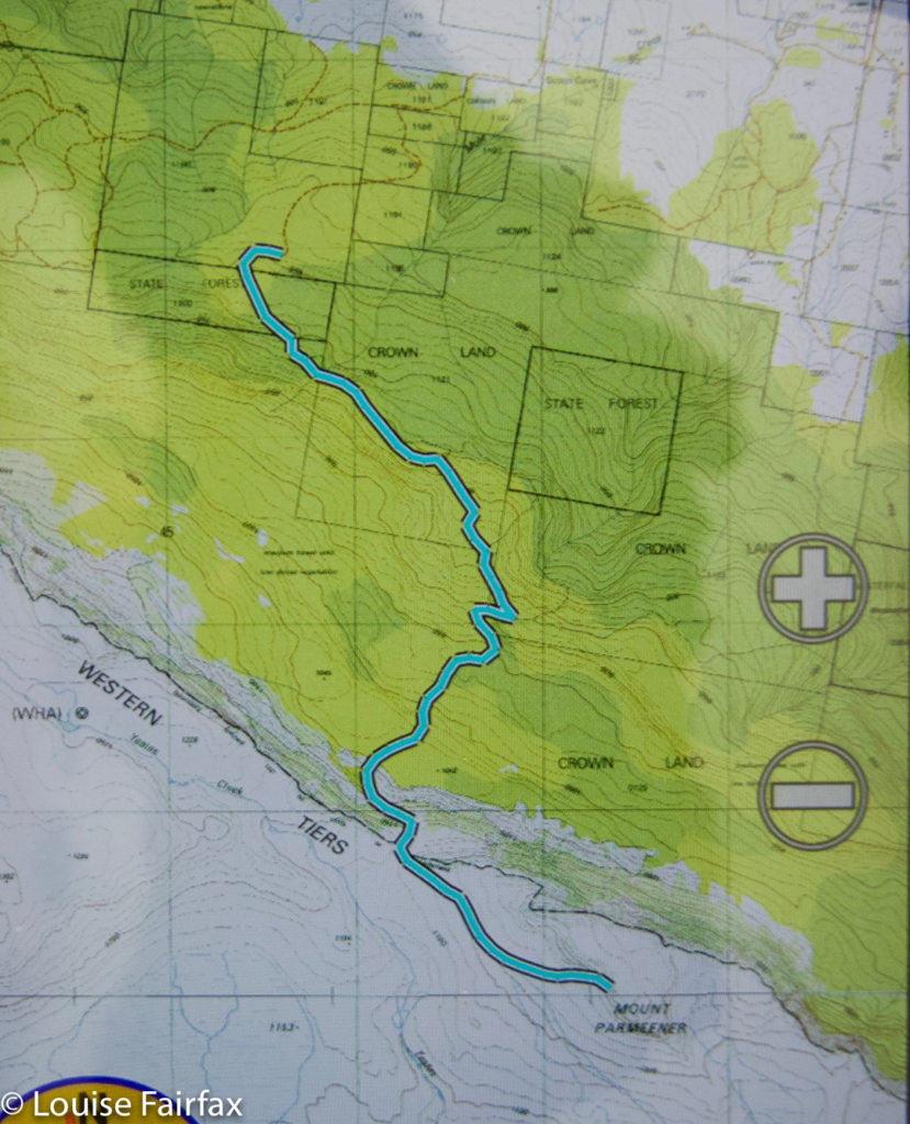
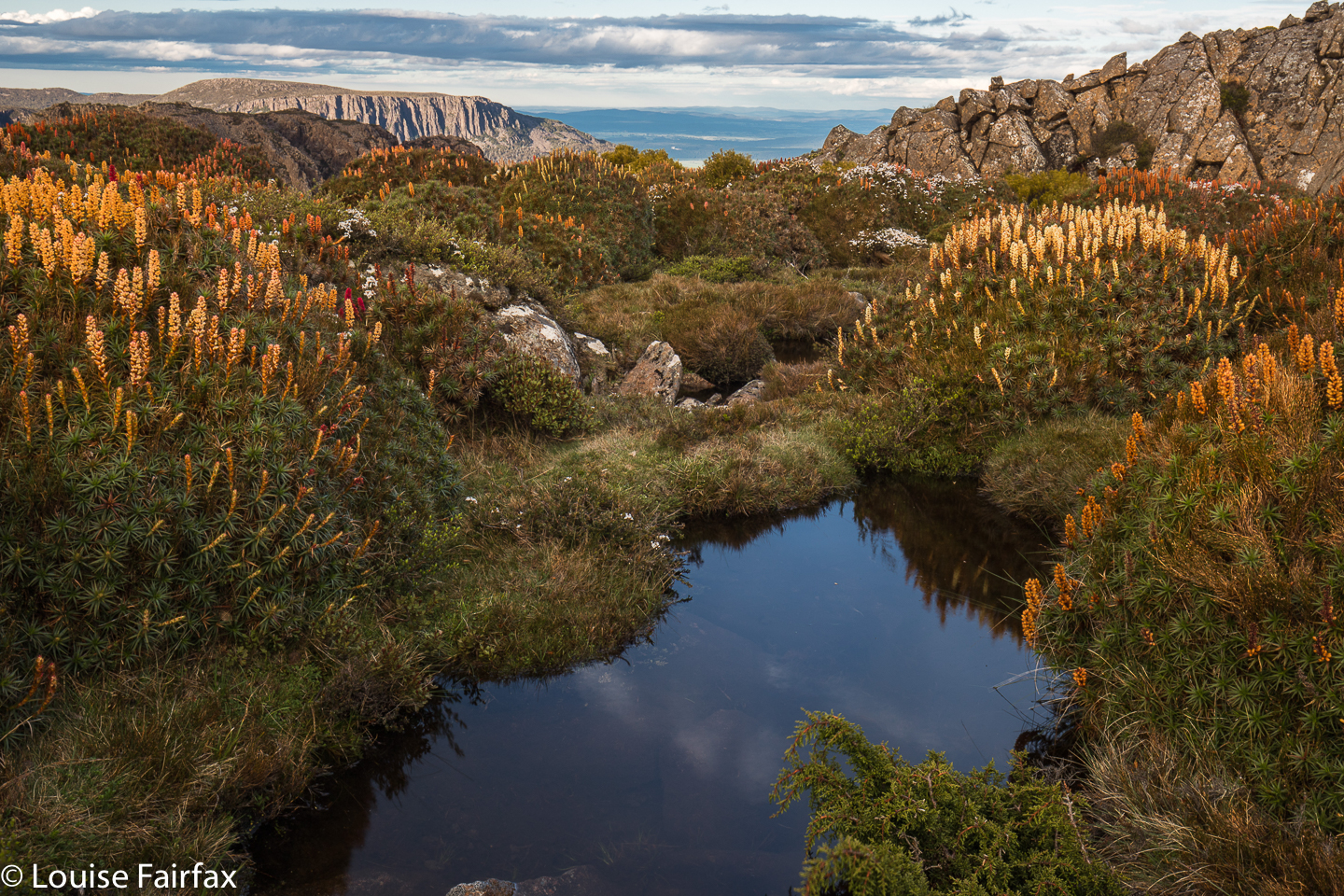 By mid-afternoon I’d parked at the Meander Falls carpark, and was ready to do the climb. Hm. All this waterfall bagging, even though I do it with an 8 kg pack of camera gear, is still no apt practice for a real pack. I guess it doesn’t help that I’ve been laid low with a virus in the last three or more weeks. Every time I run, I take several steps backwards in overall recovery …. and I keep on running.
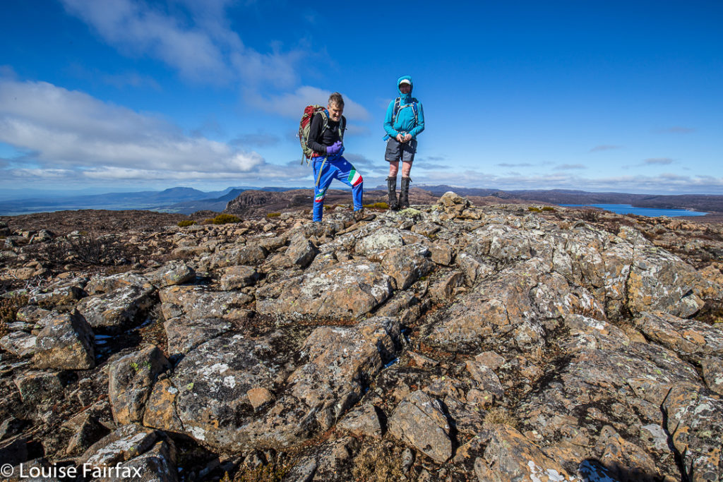
And so the walk into the actual falls felt unusually steep and lasted far longer than I expected (1 hr 48 instead of under 1 hr 20). I feared the climb up high would take double my 30 minutes of last time (packless), but luckily I was wrong, and it took the same. I was pitching my tent by 5.30, with plenty of time to sort out shooting locations.
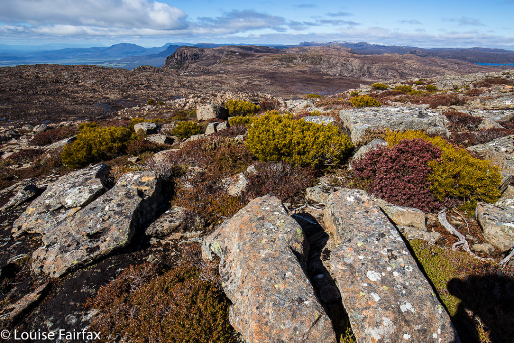
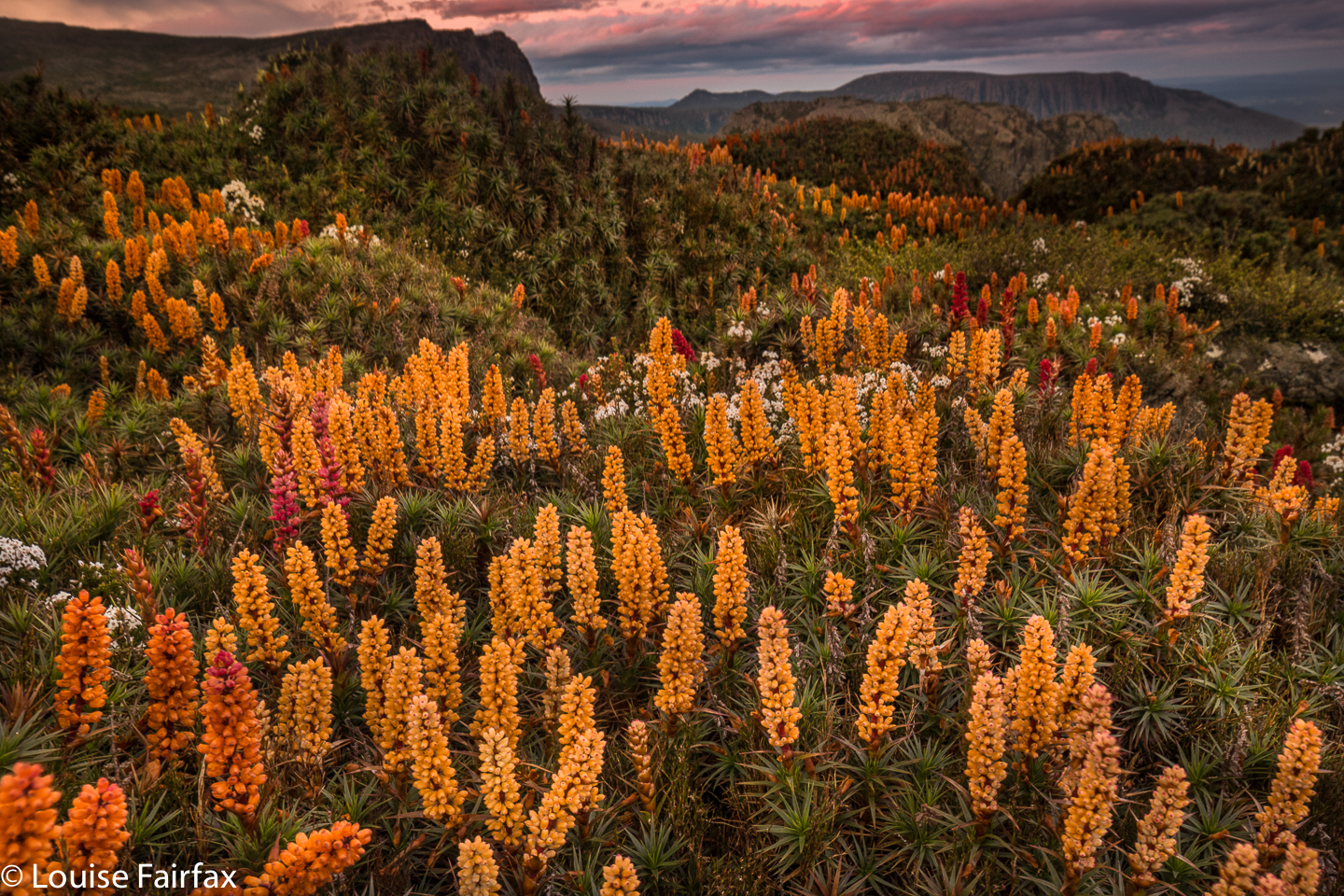 Actually, I took far longer to choose a tent site than to choose anything else. The wind was fierce up there, and I only had my light three-season tent, so I wanted shelter from the west. I keep ducking to the leeward side of scoparia shrubs of a decent size, but the wind just dashed around them. I needed a big clump, or a rock. On and on I went , searching but not finding. In the end, I got a spot bang in the middle of a multi-coloured scoparia thicket, almost completely surrounded by water, and, well, the shelter was about as good as it was going to get. And now that it was time to pitch, it started raining lightly. The wind picked up. The clouds amassed. So much for photography.
 Pitching was a challenge in that wind. I haven’t pitched this little tent before in anything but ideal conditions. Every time I attached the fly to one side and dashed around to attach it to the other, the wind whipped it up and threatened to send it back down to Meander Falls. I decided it was lucky it was only 5.30. If that happened, I could still easily retreat with safety, even if not with dignity. Somehow I broke the rotten cycle, and she was up, and the inside hadn’t got too wet with all my bumbling.
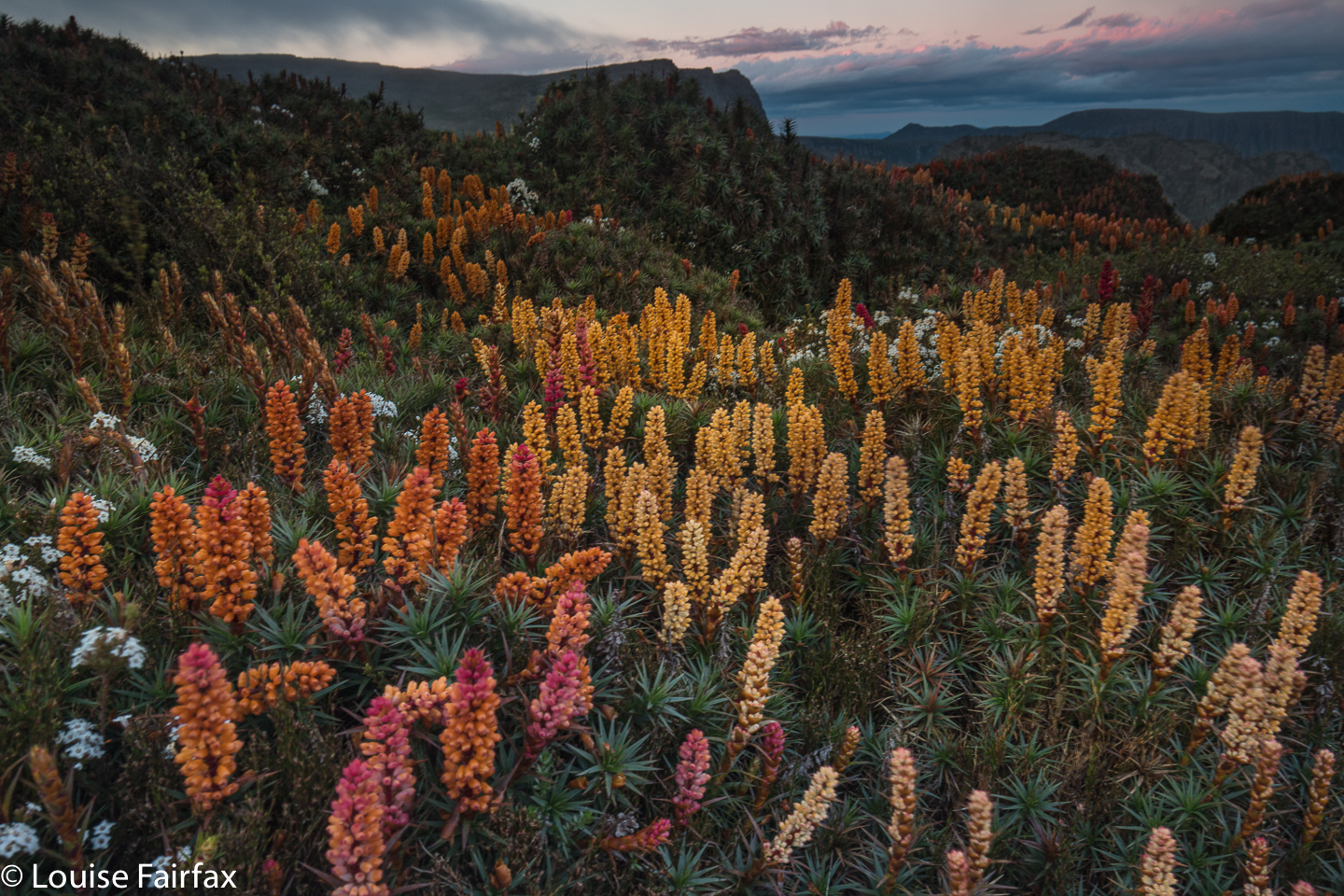 It was not good lighting for photography, but I feared it was as good as it was going to get, and I had carried my pack for two and a half hours to be here. I wanted some bang for my buck, so went out and shot anyway. Hm. Problem. The ground was so spongy that the tripod moved during long exposures. Hand held it was, which made using GND filters challenging (as they require longer exposures), so all the early ones have skies that are too light. I thought that was “it” for the night, so retreated to my tent for “dinner”. (The food was NOT a highlight of the trip.)
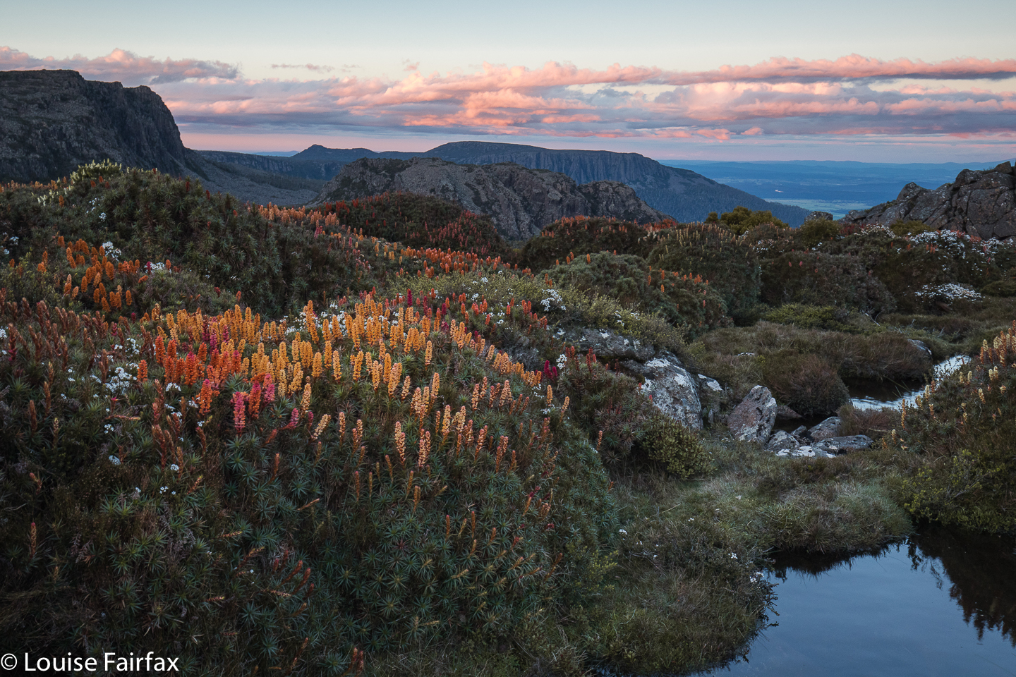
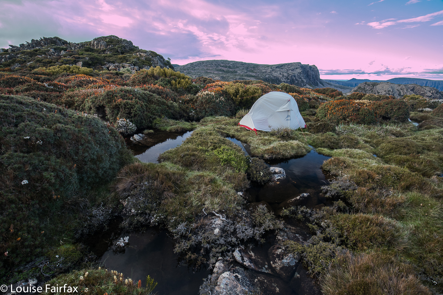 Once when I was in the Western Arthurs and had grey, drizzling weather, I was sitting in my tent sulking at the injustice of it all, facing east, and nearly missed one of the most beautiful sunsets of my entire life. It lasted only maybe five minutes, but the sun found a spot to pierce through the heavy cloud, and illuminated the whole world in pinks and purples of a wonderful hue. I wasn’t going to make that mistake again, so kept checking for the possibility of a sunset. Proper sulks are not a good idea. Luck was with my vigilance. For about five minutes, the sky cleared enough to allow golden shafts of light to streak across my field and turn the distant clouds pink. I was almost panicking, as I knew it wouldn’t last. Some shots were hand held, just in case, with monster ISOs, and then I risked long exposures on wobbling, unstable terrain.
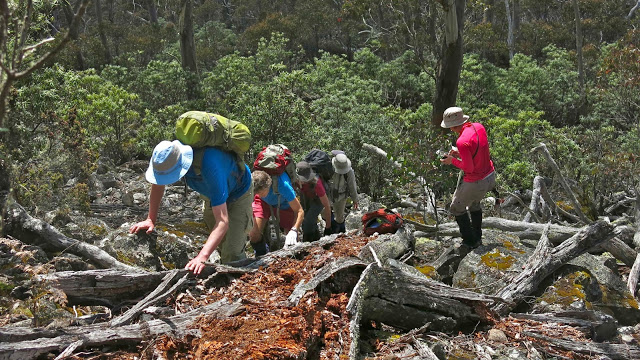
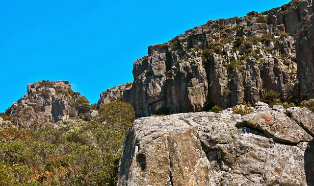
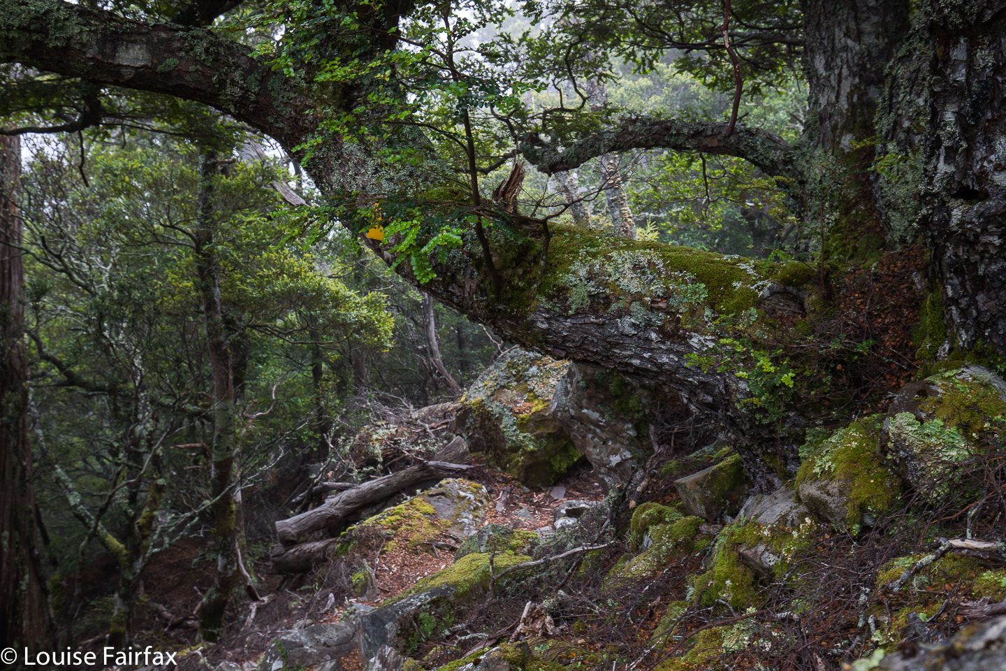 Next day, I was very tired, as I had set my alarm for 4.40 to get the beautiful dawn I’d planned on. The world was dark, dull, fuscous. Reset the alarm for 5.10. The world was still utterly uninviting. Set the alarm for 5.30. As you can see, i was scared of dozing off and missing out should something eventuate. It didn’t. At 6 o’clock I breakfasted in the rain, on a day on which BoM had promised none, and then depitched my home, trying not to get things too wet. I am much faster and more efficient using my Hilleberg in the rain, but I had been promised none, so brought the lighter MSR. Oh well. Climbing down the steep rock scree now that the moss was slippery and my pack heavier was slow, careful work. I will be well-practised if I get to be a crab at some stage in my future.
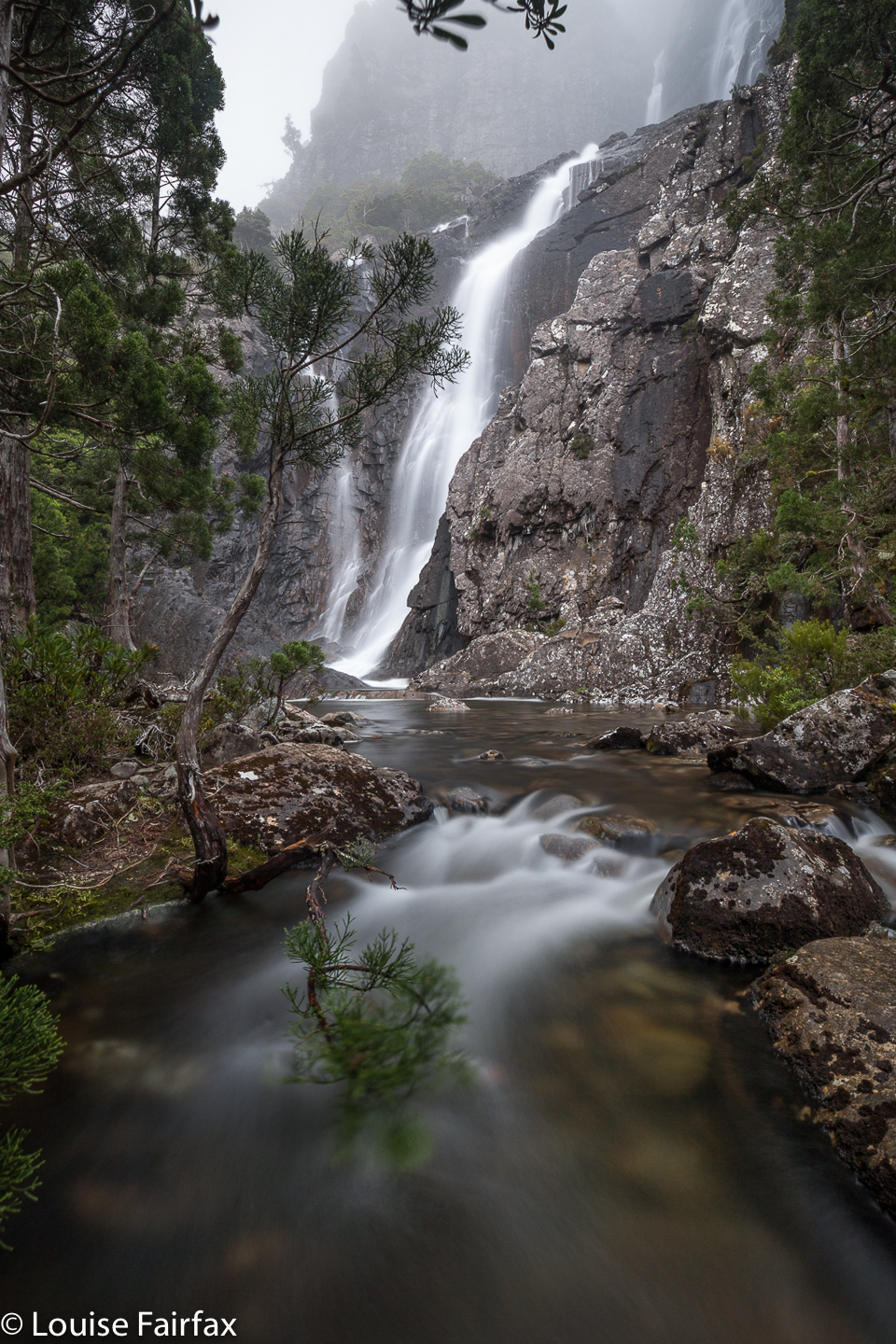
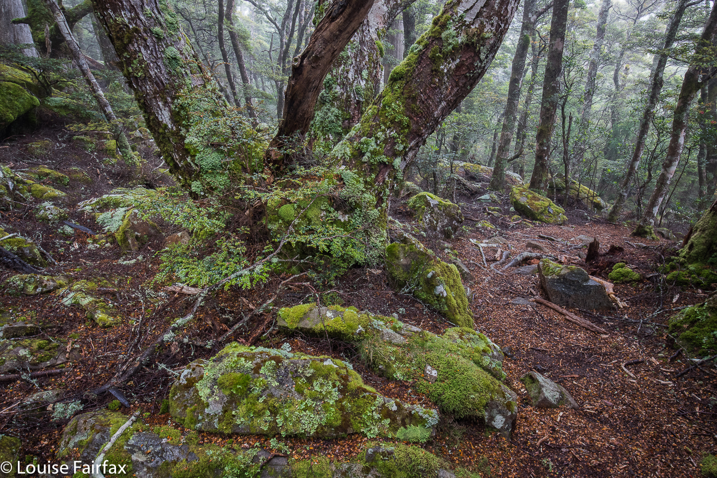 I wasn’t going to photograph Meander Falls, having already done so several times (and not finding it life’s most photogenic waterfall), but it was flowing so much stronger than I have ever seen it do that I decided I needed to. Besides, my arms were actually weary from all the four-points-of-contact work I’d just done lowering myself down the cliffs. The waterfall made a nice excuse to rest a bit before I continued on the wide tourist track to the car. I picked Tessa up before lunch, as promised. She yelped and danced and sang and bounced. What a greeting. I promised them I wouldn’t stay away three years next time.

