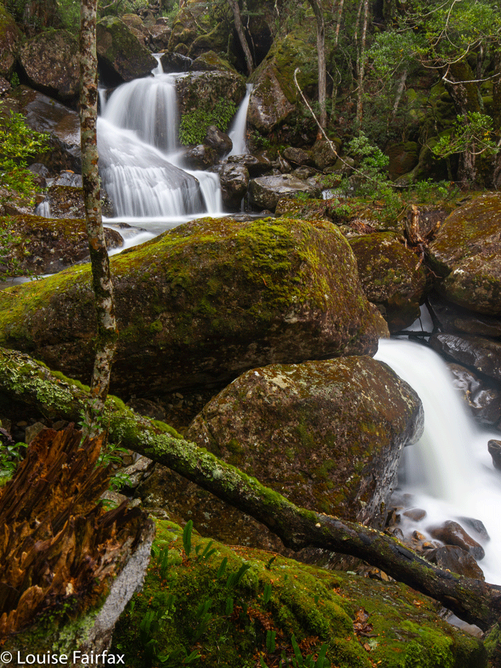
Western Creek minor falls
It was raining and misty outside, which seemed like a perfect day for going to Western Creek Falls. What I didn’t realise until said falls and I bumped into each other, was that these conditions would make it just about impossible to get a shot that did not have droplets splattered all over my lens (and image). I have never had such a juggling act. I would wipe the lens, but keep the cloth over the glass. I would guess at the settings, as checking properly in live view meant I would expose glass to the environment. I worked out that using the delay timer just gave water more time to attack, as did long exposure. So, I pressed the trigger whilst simultaneously dashing away the cloth, with an exposure of less than a second. How was it? Na. More droplets. Try again.
It was a little frustrating, and meanwhile, I was getting soaked … and cold. Ah, meanwhile, have I mentioned that I was perched on a slippery rock with not only a waterfall above me, but one dropping away below my feet? This is a two-tiered fall, and I was between tiers … and possibly between tears. It was unnerving being where I was when the water was so powerful and when a single wrong step would see me tumble to my presumed death. There was a strand of wire spanning the gap across the water, which I clung to for safety, but holding so many things made me feel rather clumsy.
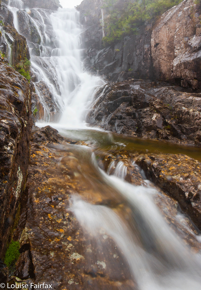
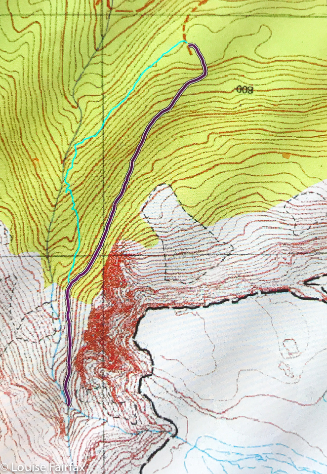
Meanwhile, you ask, how was the track Louise? I decided to do the loop on this, my first visit, just to see if I like it. The outward, easterly route was very steep indeed – so much so that my foot slipped backwards a few times, and I was wearing my good boots. But the water was completely missing. I could neither see nor hear it, and if you look at the map below, you’ll see why. The creek is not near this route. It took 32 minutes before I could see it far below me. In 42 minutes, I had reached the point between upper and lower falls. It was mossy enough, although not exuberantly so; there were no fungi, although it is April; and I had to cross two rock-laden landslides, which are hardly attractive. At least they were small.
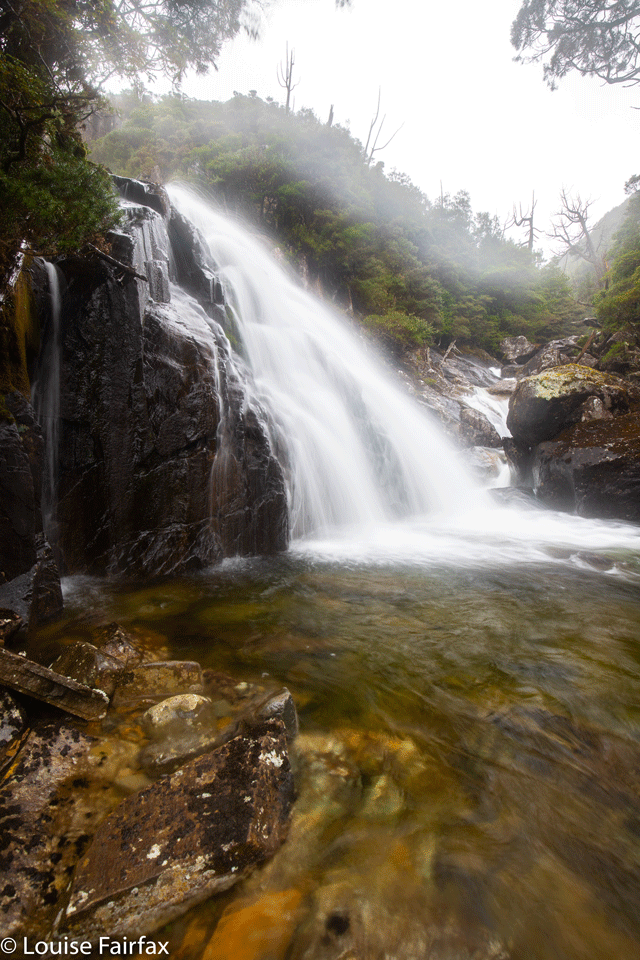
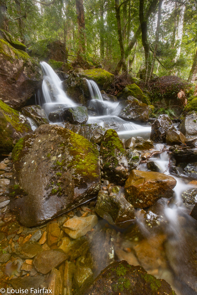
The way back, however, was sheer delight. It stuck nice and close to the water for far more of its length, was attractively small and quaint, and was mossy and lush. Down below me, I could see heaps of tempting smaller waterfalls, some of which I photographed, having more luck in the forest with keeping my glass dry. Next time, I will go both directions using this path, but you have to try things out so you know.
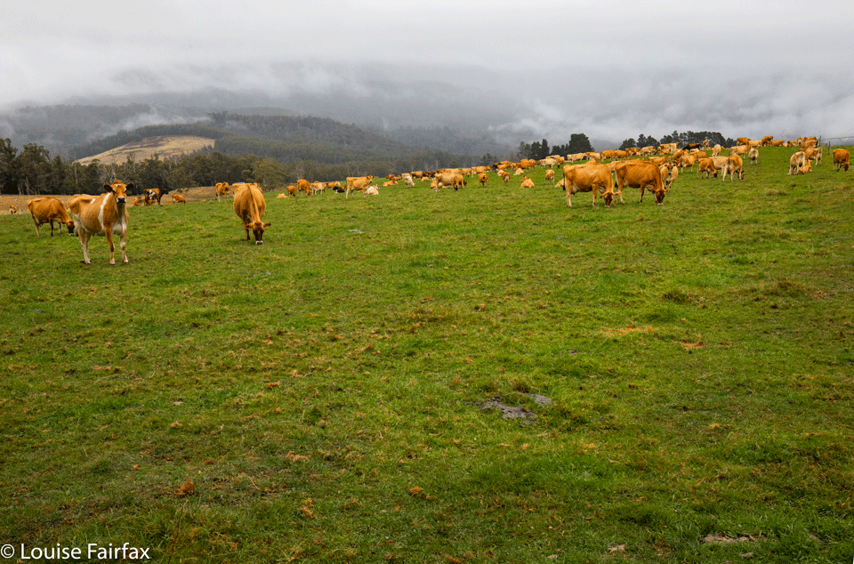
The start of this track, called the Western Creek Track, is just a bit on from Higgs Track. You can approach it from Dairy Plains (turnoff at Needles), or from Chudleigh. You head for Western Creek township, but diverge before you get there onto Westrope Road, heading south. There is a blue sign, but only visible if you are coming from the SE. I overshot and ended up nearly in Western Creek, so got to see the sign coming from that direction. Westrope Road continues all the way. Higgs Track diverges off this with a sign. The road then crosses Western Creek before climbing a bit to the start. Even that first crossing was pretty today with so much water.
I love visiting waterfalls for their beauty, for the opportunity they provide for my photography, and for their exercise value: I enjoy it when they give me a good workout. This track was very short – only 1.77 kms one way, but nice and steep: 300 ms climb in that short distance. I took 42 minutes from the car to the spot between tiers, and 44 minutes back down again. That’s a nice-lengthed workout. I was out in time for lunch in a nearby cafe, and home early afternoon to do some home tasks. Half-day jaunts are good if you’re pressed for time. That said, if I strike nicer weather next time, I’d like to go all the way up to the top and onto the Mt Ironstone massif. Today was a recce.

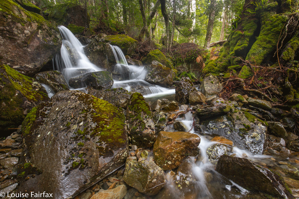
Hi Louise,great pics as always!
I did this walk a few months ago but walked the loop in the opposite direction to you and went a little further to Whiteleys Hut beneath Mt Ironstone,which I’m sure there would be an easy route up the mountain from here