This trip to Mts Ossa and Oakleigh was a trip in which I didn’t do anything I was supposed to do, but ended up doing wonderful alternatives, seeing some absolutely magnificent scenery (including the best wildflower display ever), and meeting heaps of incredibly nice people.
So, for starters, I left on the “wrong” day. Originally, we were to leave on the Monday, so I had booked my dog into the kennel, and even delivered her, before I got news we were now to leave on the Tuesday (due to bad weather coming). But my dog was already gone, and I had ants in my pants. I decided to just weather the weather and set off anyway, do my own thing for a day, and then meet the others. As it turned out, A and T had decided similarly, so three of us set out early.
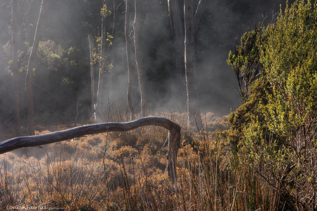
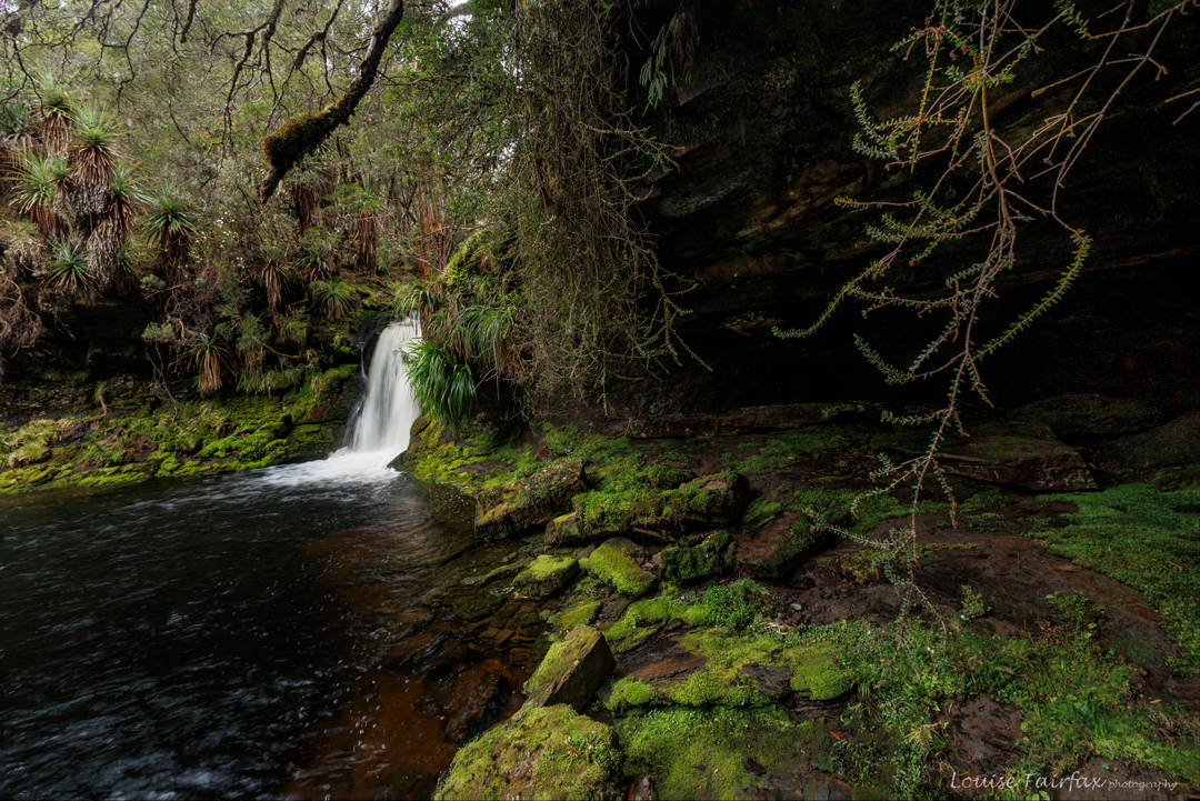
A and T elected to sleep in Pelion hut, reached after a few hours’ walking, but I unctuously declared that I was bushwalking, so would sleep in my tent, not in a hut. Tent pitched, the rainforest in all directions from the hut thoroughly explored, and several streams followed, I went down to the hut to be sociable. There were some terrific people in the hut, and I had lots of pleasant and interesting conversations until it was time to depart for bed, for which I had to wait for a break in the deluge.
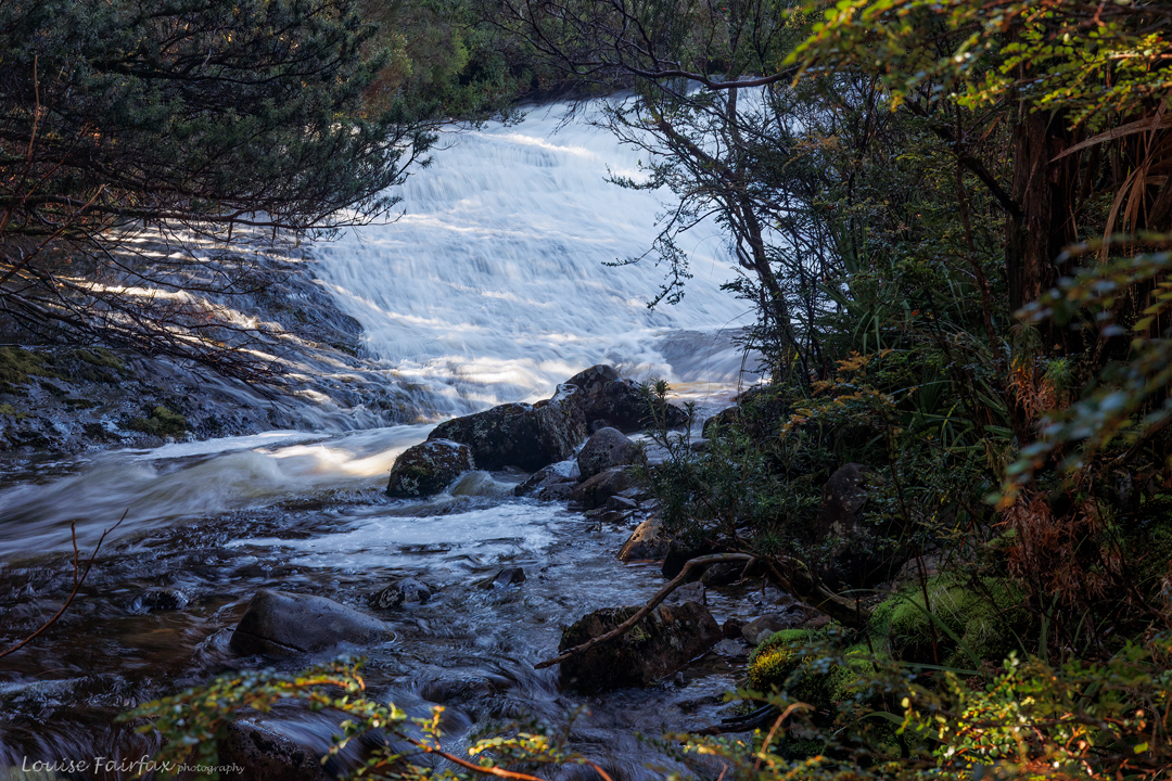
The phrase “bucketing down” gained a new meaning that evening, as I waited for a pause in the tumultuous downpour to run the fair distance to my little isolated tent. I have never heard rain quite so loud, never seen sheets of rain quite so solid. Squadrons formed on the verandah to enjoy (and many, to try to photograph) the wild display. Conversation while it was happening was impossible.
That night the mother of all storms rolled in. The thunder was roaring like a sick lion, the noise ricocheting from mountain wall to mountain wall in the audience of mountains surrounding us. The rain continued to flood the plain. I considered the fact that I was somewhat vulnerable lying there under trees should one of them get struck by the lightning that accompanied the noise, but, well, that is nature: threatening. I was aware of the danger, but also philosophical about its potential to harm. I have enormous respect for nature, so was not lying there like a fool thinking it could never affect me, or that I could somehow control it. What would be would be. Emanuel Kant would call the experience of us tenters “sublime” as we were taken into the realm of fear and our own vulnerability, yet emerged safely out the other side. Those in the hut barely noticed what they were in the middle of. Most had ear plugs in, and were also locked away from the flashing lights of electrical power. I am glad to have experienced nature in such a wild frenzy.
During the night, whilst listening to the drama, I noticed that water was falling on my face. I reached for my torch and discovered it was sopping. In mild panic I rescued my beloved camera and gps device and put them as high as I could, but was not confident, as my face was still being splashed. I did my best. My sleeping bag was more than moist. An hour later, I notice that my pillow – that is, all my emergency dry clothes, in a drysack – were now also wet. Somehow I fell asleep anyway.
In the morning I awoke to the sight of a lake in my tent. Other plans I had made for this day to be spent at my will were now cancelled, as drying my stuff in the hut became my primary objective. First, however, I wanted to do something for exercise, so went up Mt Oakleigh in the rain (third time). The lush, mossy myrtle forest was magnificent in the mist. On the top rocks, the wind was blowing furiously and it was very cold. I had achieved my daily quota of exercise, so that was fine, and now I could try to dry things out to prevent hypothermia that night. High resolves cancelled, I moved into the hut. (No photos of Oakleigh; that might have killed my camera).
The next wave of Overland Trail walkers entered: another group of really nice people with new friends to be made. They were most solicitous about my gear, and many helped me turn and rearrange items to get them dry. We chatted around the heater meanwhile – hardly unpleasant. I was anxious to finish as quickly as possible, as these people were wet from the day as well, so we all needed to dry things. Amongst the smiling faces was a friend of my daughter’s from primary school in Canberra. It was fabulous to catch up with him and his family. I was really warmed to see so many children on the trail happily experiencing this initiation ceremony into distance bushwalking. They were happy, loved to tell me about the birds and other aspects of nature they had seen. I loved meeting them.
The people we should have met passed through, sopping and freezing. Not one of the three of us joined them in the planned further hour and a half’s walking. I needed to get dry before I could get wet again. My tent was still a swimming pool. Two days down. No previous plans fulfilled.
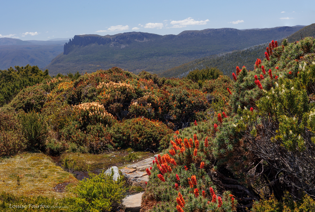
On day three, the others were climbing Proteus. My tent needed attention, and Proteus hadn’t thrilled me the first time I climbed, so I wasn’t going to cry over that lost opportunity. I scooped NINE cups of water out of the tent and hoped that by the time I got back from Mt Ossa, which I had decided to climb as a shorter alternative, it would be dry, and I could join the others for Pelion West.
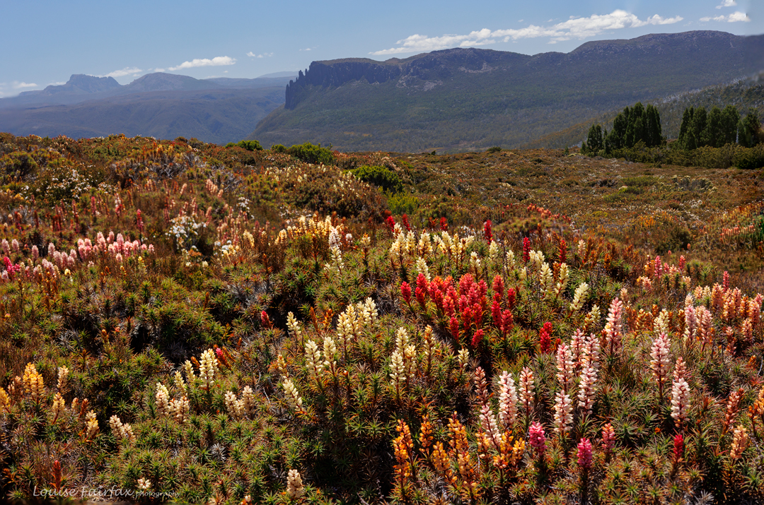
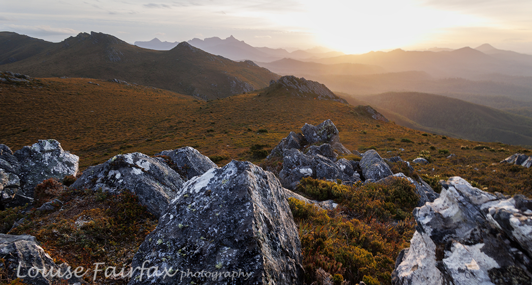
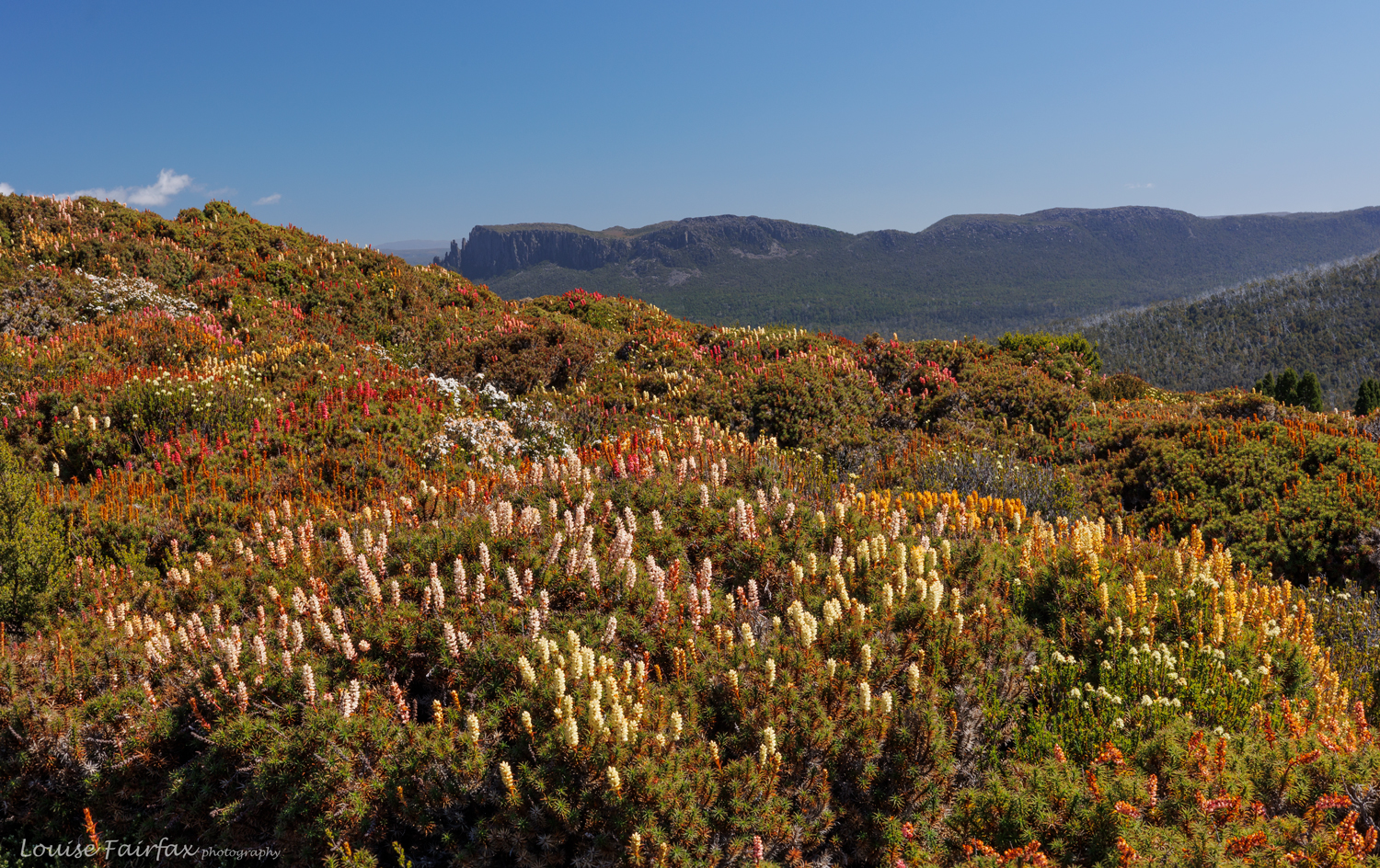
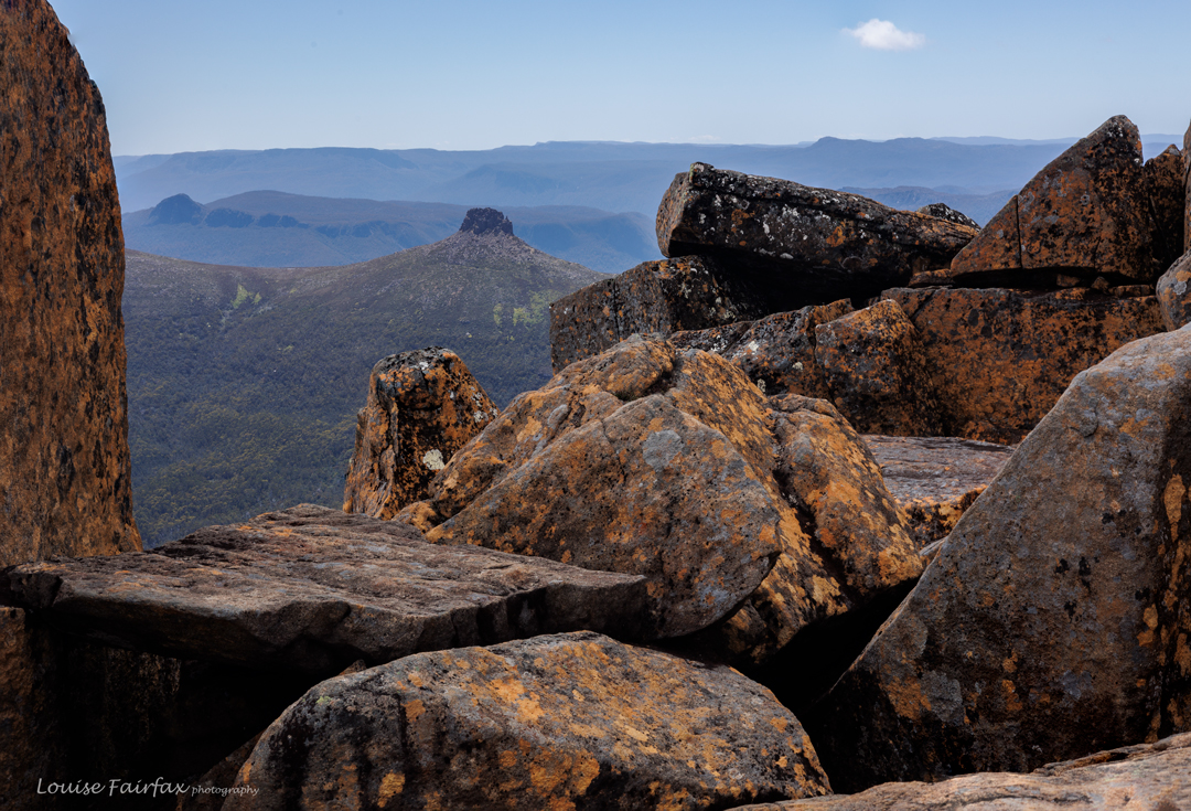
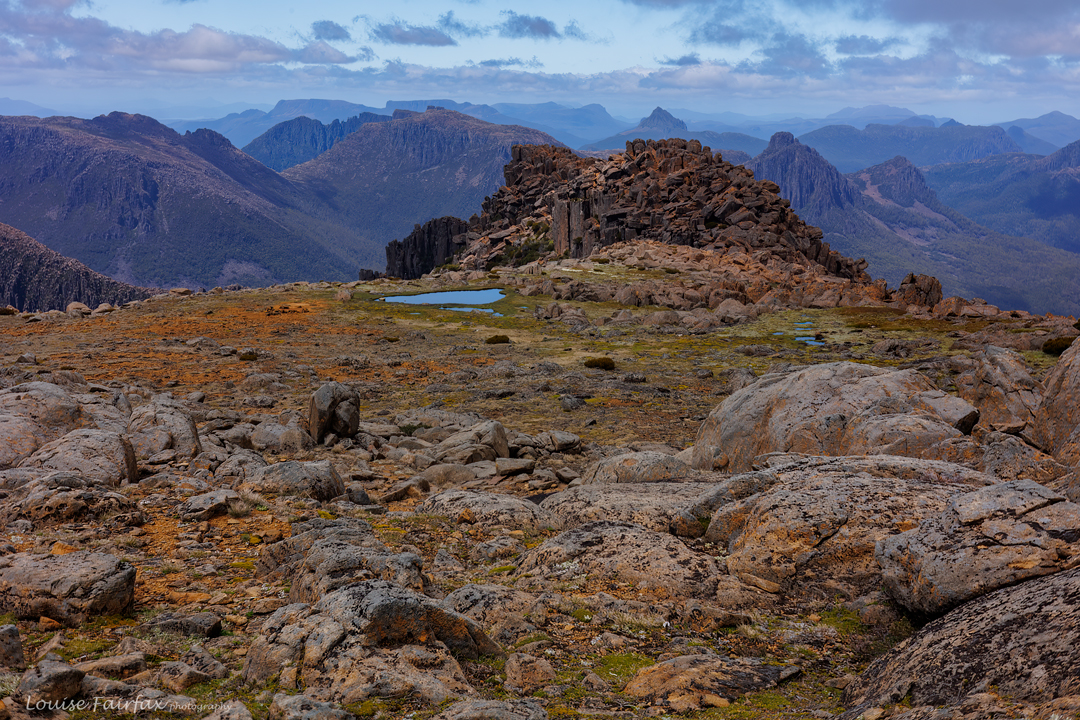
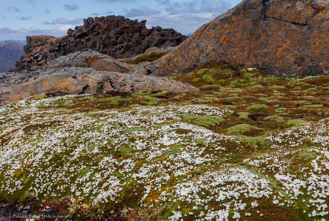
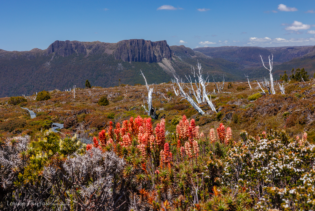
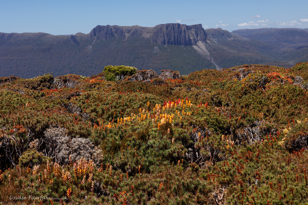
I have never seen such a varied wildflower display on Ossa. I have climbed it seven times now but never have I seen it quite this colourful. I was floating on the wave of its beauty. Striated emu wrens flitted from bushtop to bushtop, and other birds I couldn’t see (or identify by their chirps) called to me and teased me. Apart from their twinkles and tweets, the bush was deliciously silent. I played on the summit, and on anything I could find on the way down. I didn’t want to leave the flanks of this mountain today. Luckily for me, my new friends from the hut were climbing up as I came down, so every twenty or so paces, I got to have another chat with people whose faces I now knew. It was a very sociable descent. Back at the saddle, I was still reluctant to leave, so walked in the opposite direction to prolong the excursion into flower heaven. I got back to Pelion Hut for lunch after 4 pm, feeling just a little tired. I needed lunch, quickly followed by dinner. I was in no mood to carry out my plan of packing up and walking two hours to join the others. “I can do that early in the morning”, I said to myself.
-
That night (after a third wave of OT walkers had arrived and befriended me), all of us were … er … “blessed”?.. with the booming thunder of a snorer, trying to compete with the recent storm. His noise lasted much longer, with a regularity that was utterly unnerving. I did a Lazarus, and moved my bed to the kitchen. In the morning I observed that four others had done likewise, We could still hear him through the closed door, of course, but at least the sound as a little muted.
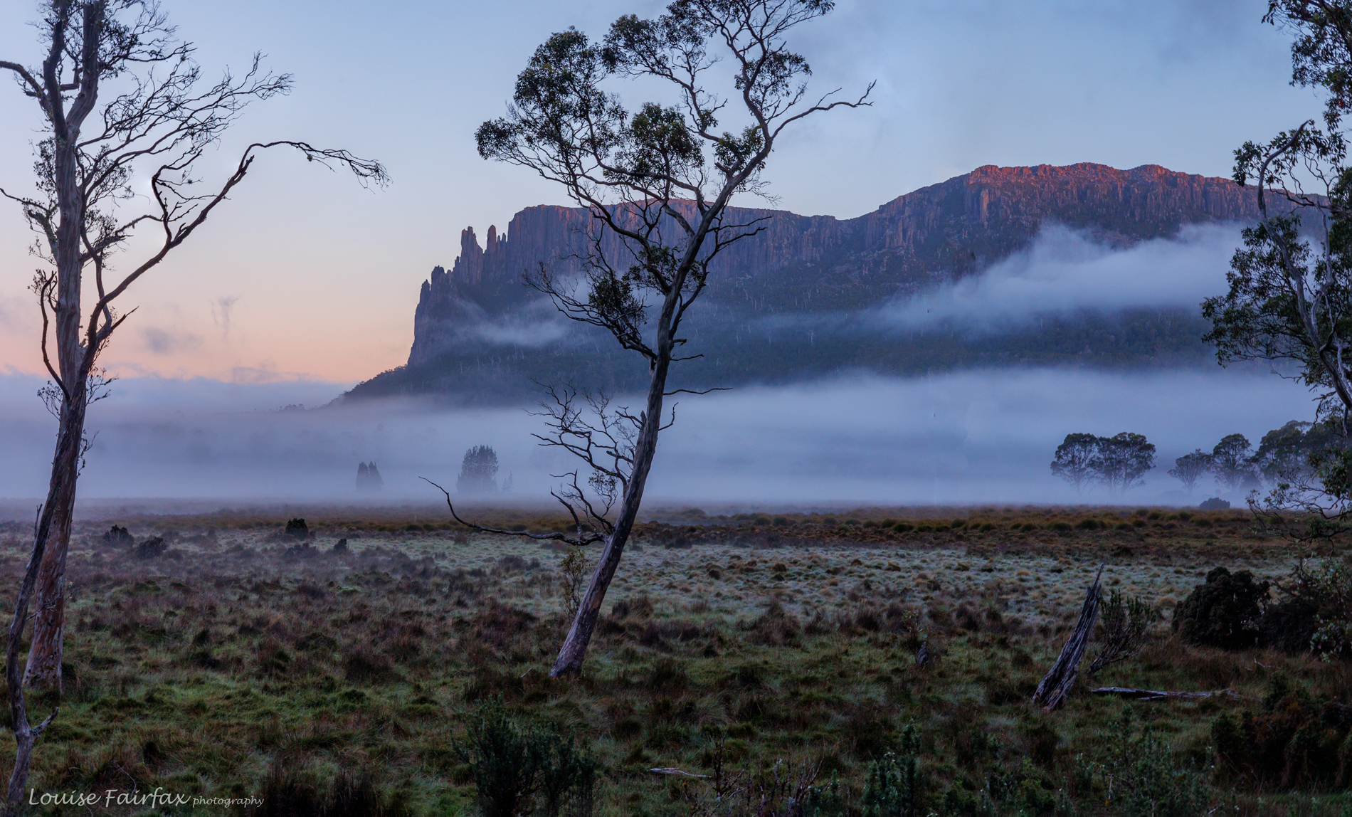
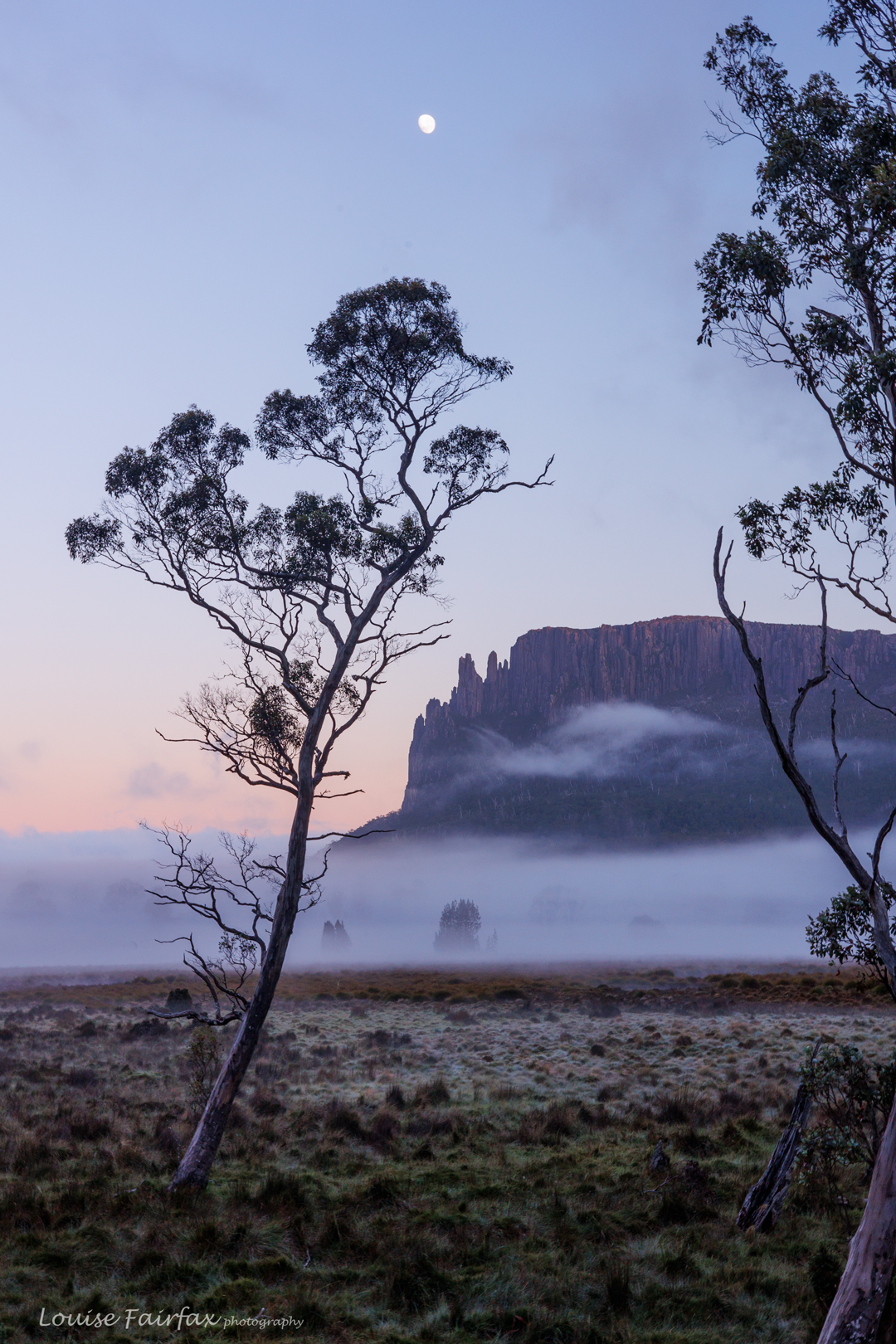
Dawn Oakleigh I was so lucky in the morning, as somebody bumped me, and I thus got to witness a superb dawn. The bumper later sheepishly apologised, but I pointed out that I would be forever grateful. If she hadn’t accidentally disturbed me, I would have missed that wonderful dawn. I had wanted to wake up for it, but was so tired after the many disturbances during the night that without her assistance, I would have missed it.
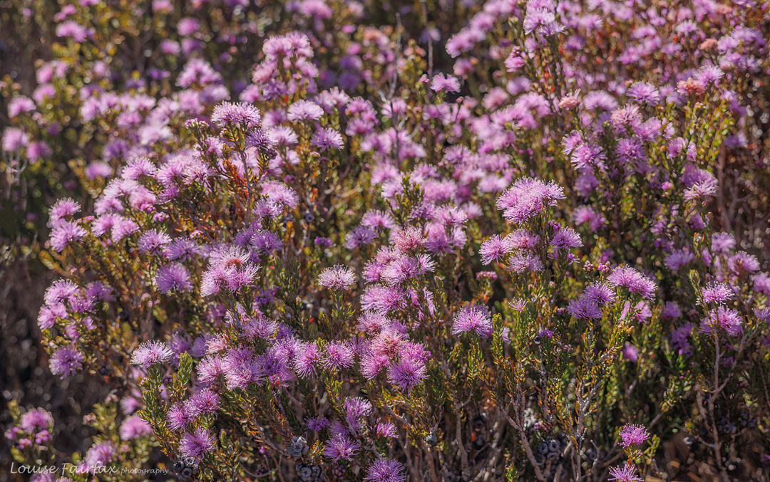
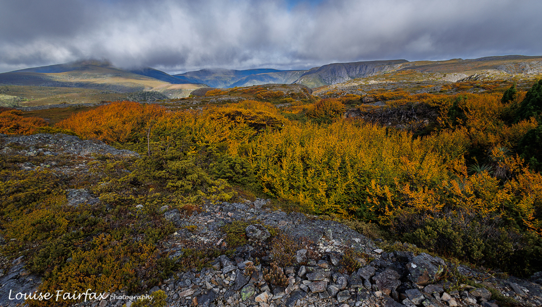
Melaleuca squamea had come into full profusion while I was watching rain. It likes the bog under Mt Pillinger. Exhausted from lack of sleep, and perhaps having picked up a bug, I started feeling sick. I set out to join the others, as planned, but decided that I really didn’t have such a long day in me. It was time to get out. I turned around and returned to the hut. Yet another action that was not according to the orginal plan. My dog, picked up a day early, was thrilled at the unexpected day’s reprieve from the kennel. (It’s a great kennel, but she loves being home with me.) She sang with delight at my appearance, almost dislocating the shoulder of the carer fetching her.
Inglis Escarpment 2024 Apr
Inglis escarpment is not a name on the map, but where we went has no name, and I had to call this blog something, so I settled on Inglis Escarpment: after all, Mt Inglis was up behind us and we were on a wonderful escarpment with grandstand views, so hence I have given the area that blog name so I can refer to it.
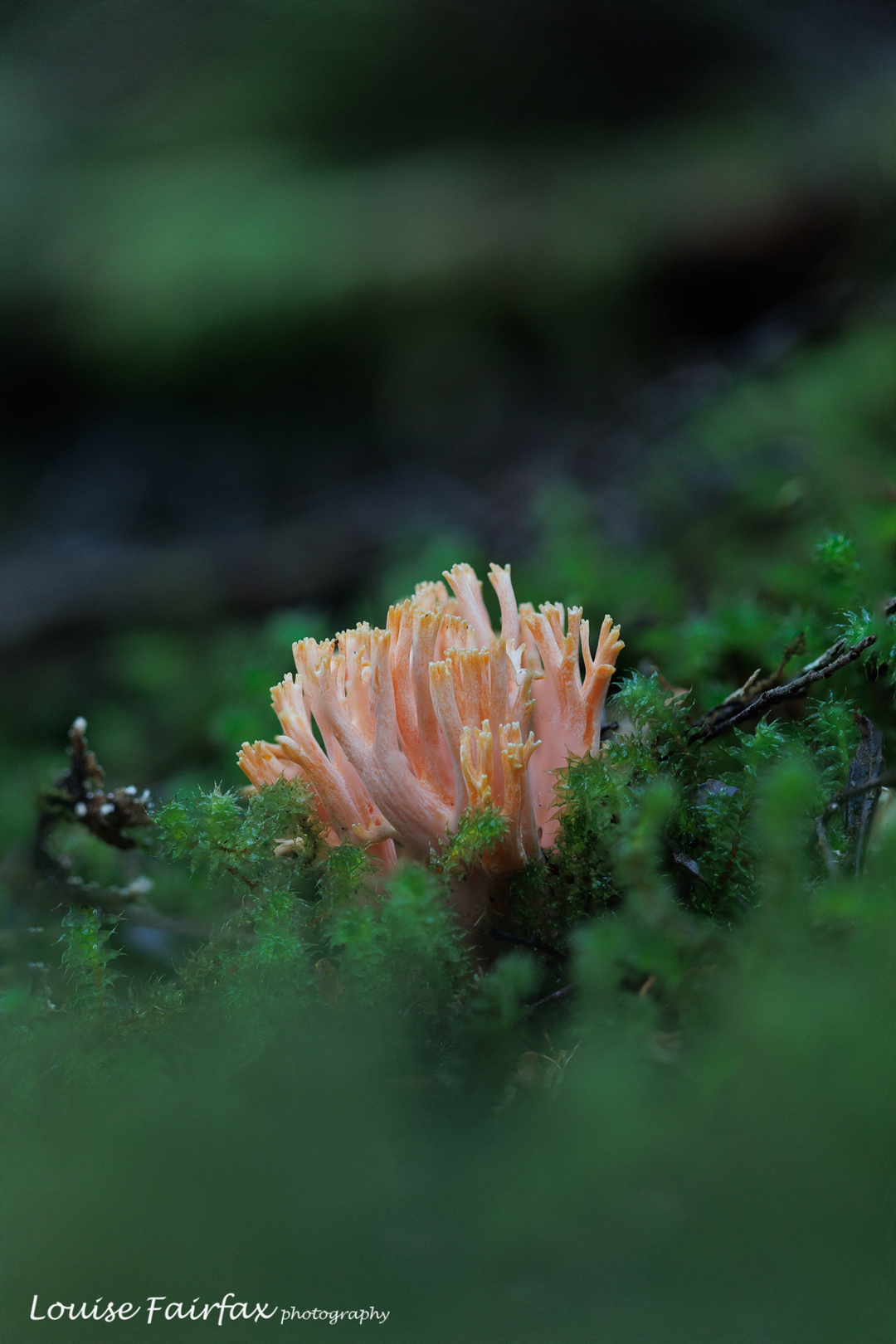
Ramaria samuelsii. Not too many fungi, but at least we got some. 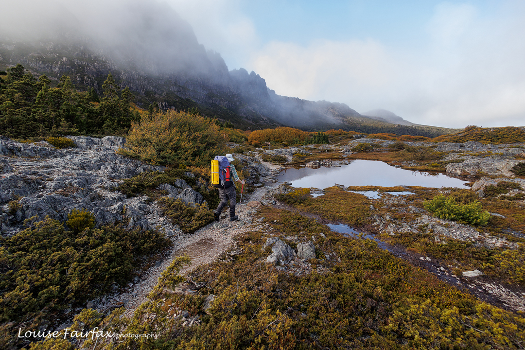
Adrian out the back of Cradle 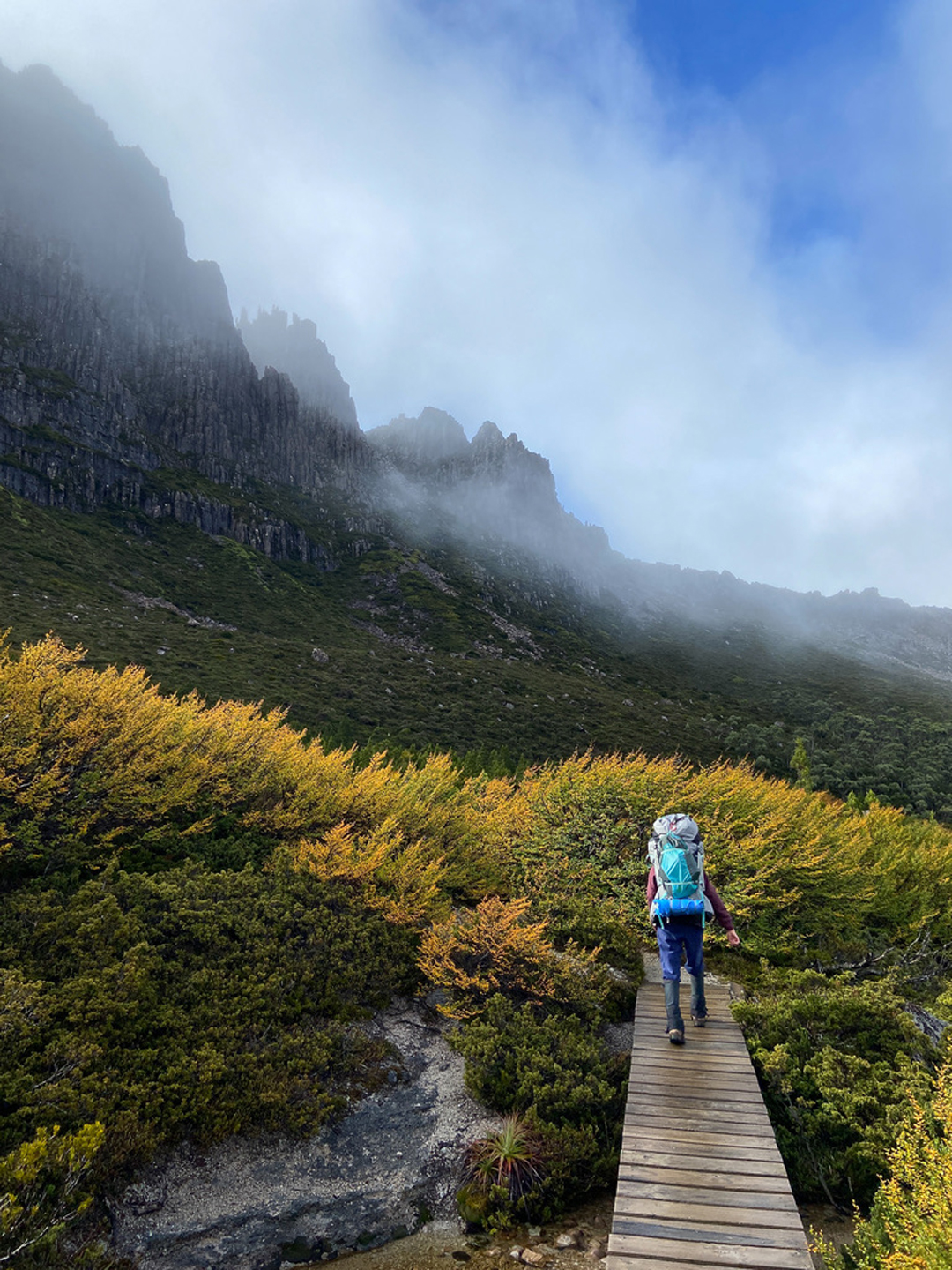
Me. Thanks Adrian I went with my waterfall bagging friend, Adrian. As with our last trip, we had hoped all four of our group could come, but Caedence is off playing cricket in England (congratulations) , and Leandra had other commitments, so the group was whittled down to two.
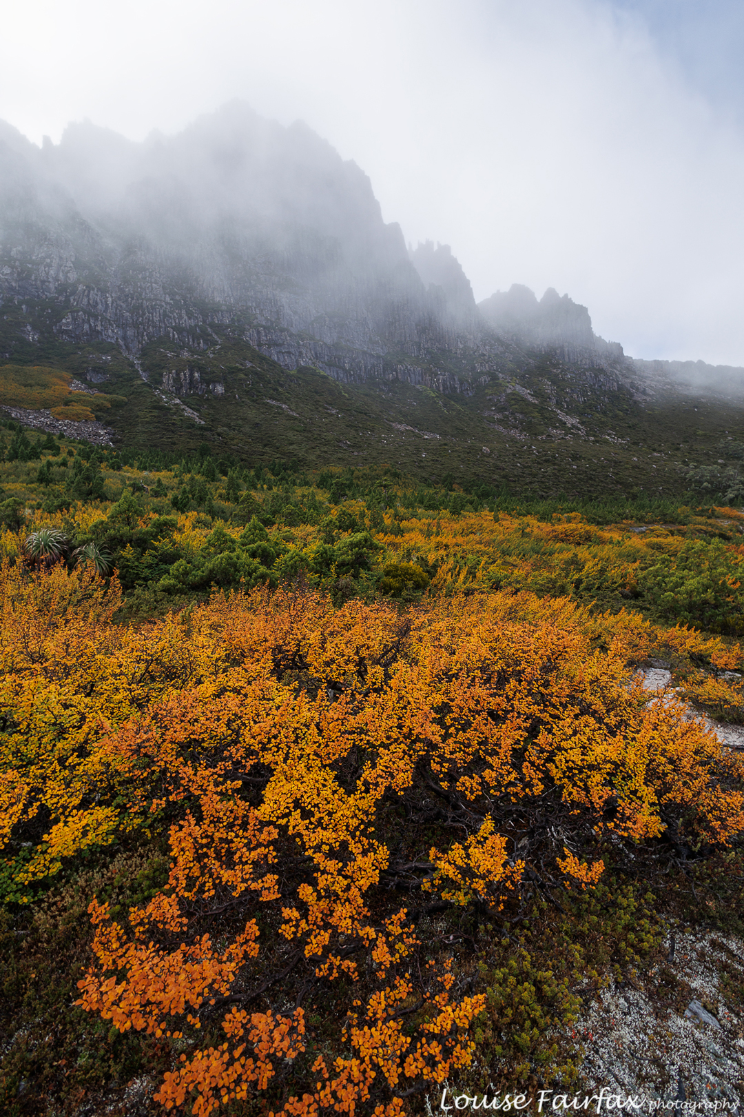
Nothofagus gunnii doing its thing. 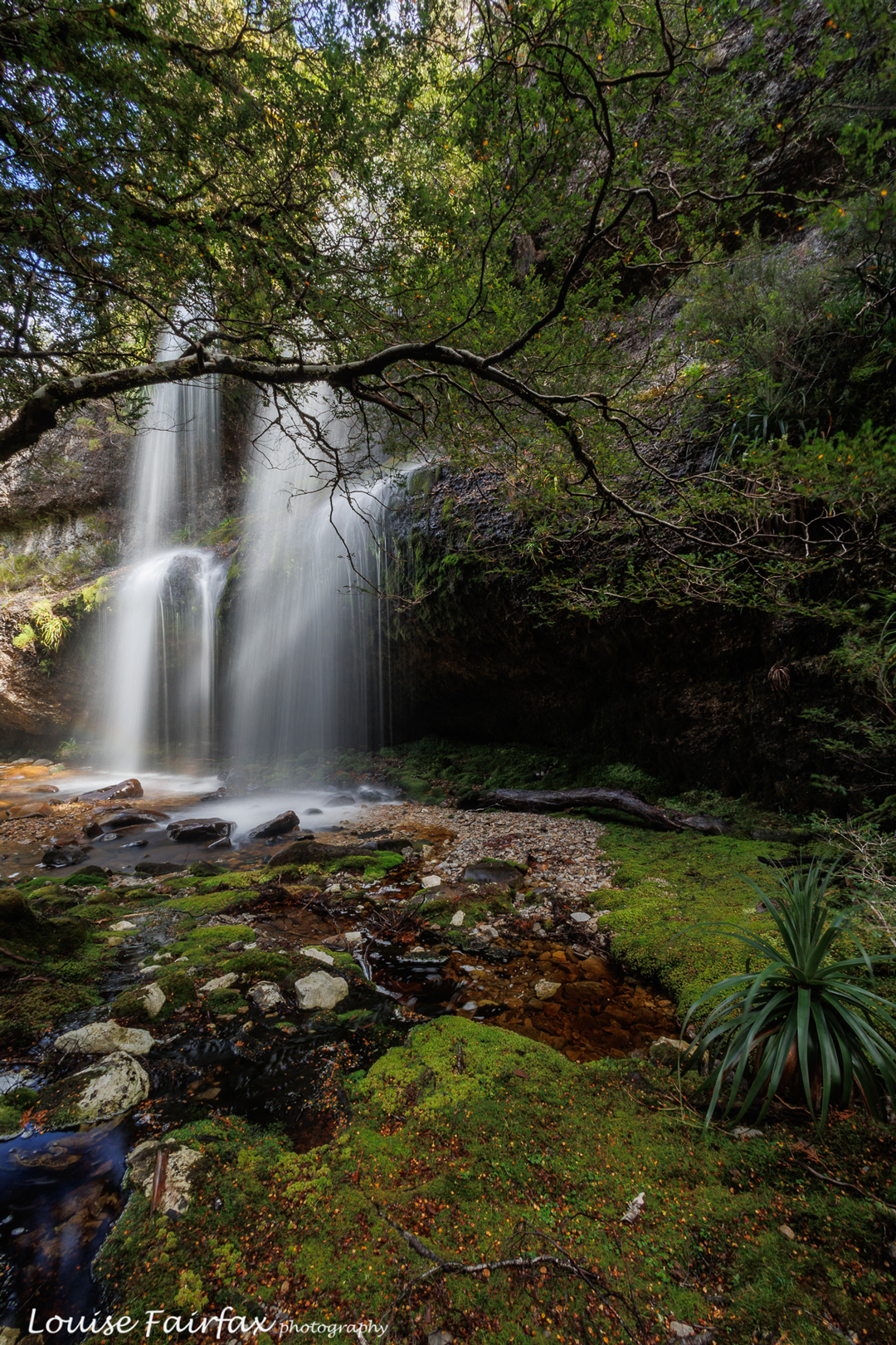
Pretty waterfall Our basic plan was to spend more time in the beautiful Bluff River Valley, and revisit Tomahawk Falls. That was the reason given, but really, we both just love spending time in off-track wilderness, imbibing new views and enjoying new vistas on the grand scale, and delighting in the minutiae of nature closer up.
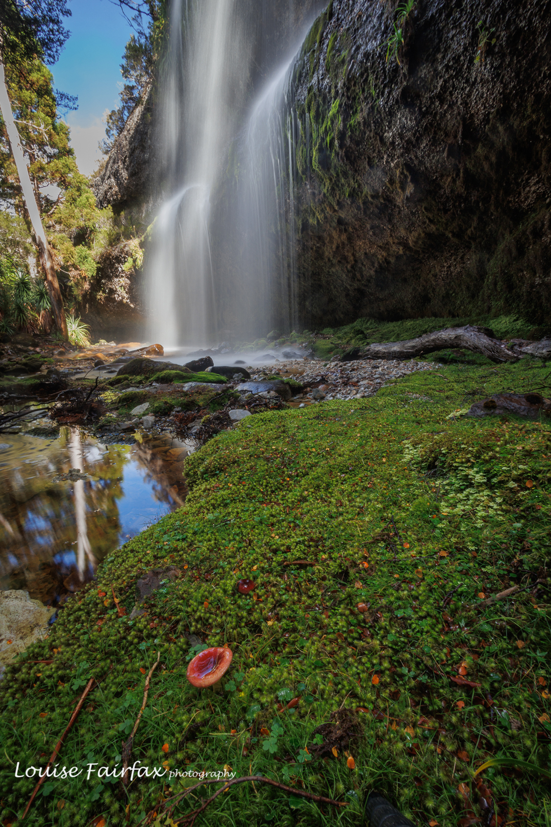
Russula persanguinea plus a waterfall. does it get better than that? 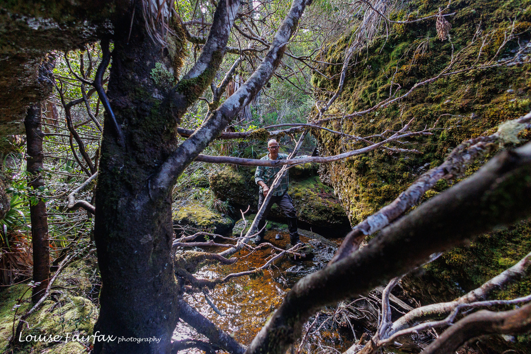
Bit of water bashing, bit of scrub bashing … our idea of fun. To get off track there, you have to first swallow a fair bit of the Overland Track with its necessary boards and stonework, but we dealt with that pretty efficiently. It hurts the feet, but at least you move through it fairly quickly, and the scenery is still lovely. We had our first short break at Kitchen Hut, another even shorter at the Igloo, and an early lunch somewhat near the Lake Will turnoff, before heading off in that direction to begin other wanderings.
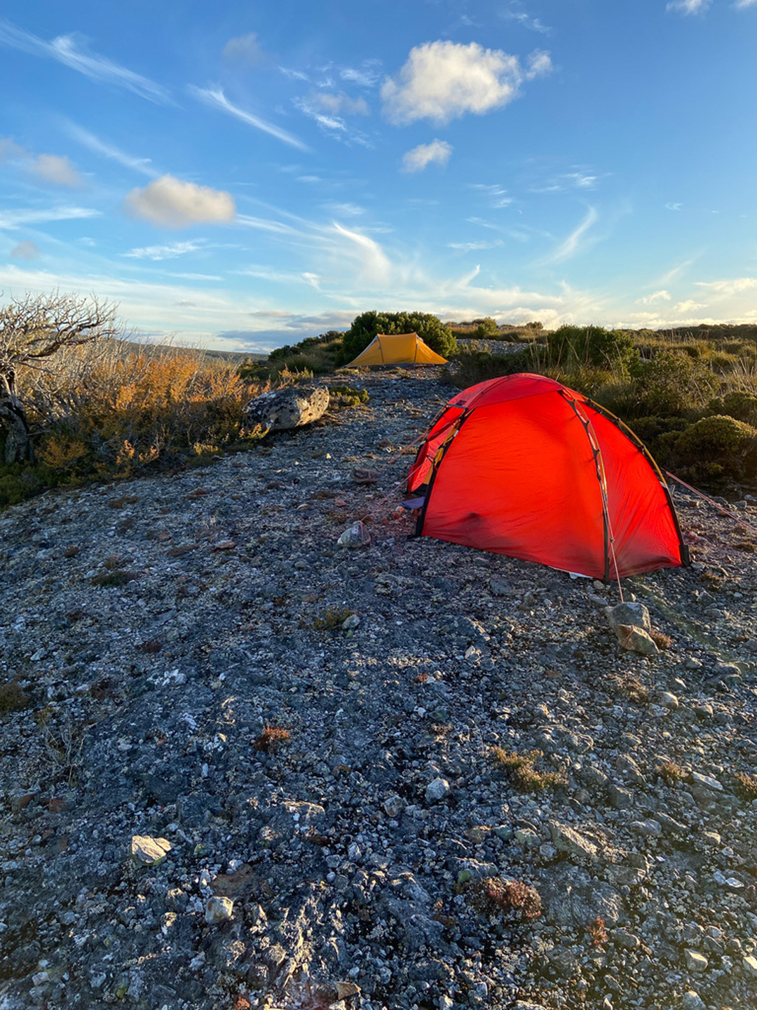
The wise girl pitched her tent upon the rock??? And the wiser man pitched his near a protective bush. No problems: no wind was forecast and no wind came. Thanks for the lovely shot Adrian. 
Taken from my tent. Talk about lazy. As you can see from the photos, we visited pretty waterfalls, and got a marvellous sunset. I have to confess that several photos were taken from inside my tent, as it was starting to get pretty cold after the sun had set. We were so busy exploring nearer falls that we didn’t have time to get to Tomahawk on day 1.
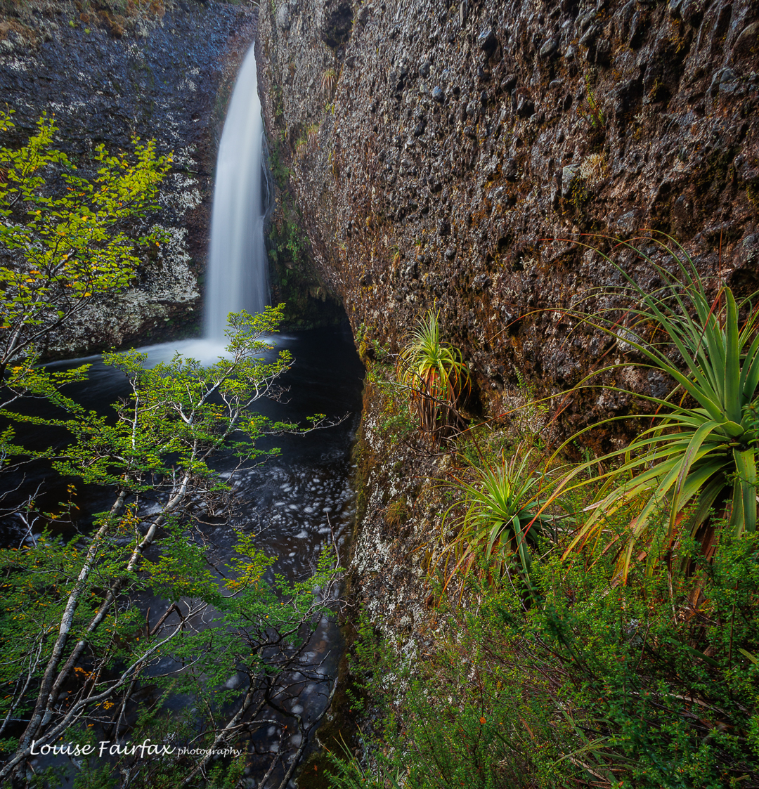
Innes Falls 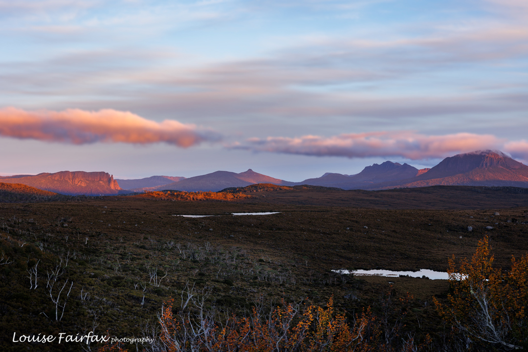
Sunset. Inglis Escarpment. Sigh. This is also taken from my tent, as it was now getting very cold. This was intended to be a four-day trip, but when we awoke to rain on day two, and saw the latest forecast was for rain for all the rest of the trip, we decided that we didn’t want to photograph in the rain, and neither did we want to hang around in our tents doing nothing. Walking out in the wet is much nicer than sitting being inactive, so we packed up our gear and returned home, saving Tomahawk for another trip.
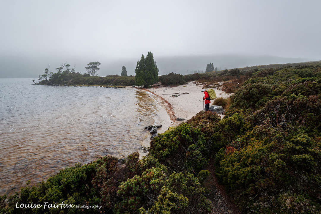
Time for man to go home. Lake Will. Adrian’s stats say we walked 60,000 steps in the two days. My watch says we did 10 hours 40 mins pack-carrying walking (not including any breaks or non-pack exercise), the time pretty much divided evenly between the two days. This was a nice amount of exercise. The rain wasn’t too heavy; the world is good. We both felt perfectly content that the trip had been worth it.
Walford Peak and Marble Bluff 2024 Feb
I have often stared at Walford Peak and wanted to climb it. Last year I organised to do so, but problems cropped up at the last minute. And for some reason, Marble Bluff seems to have bad street cred (it is rather a scrubby beast), so it has also been on the to do list, but to no avail. I looked down on it from the summit of Eldon Peak in 2018 and very much wanted to see its view, but was told it was very hard to reach. Well, it wasn’t a piece of cake, but neither was it overly taxing. Let the actual adventure begin ….
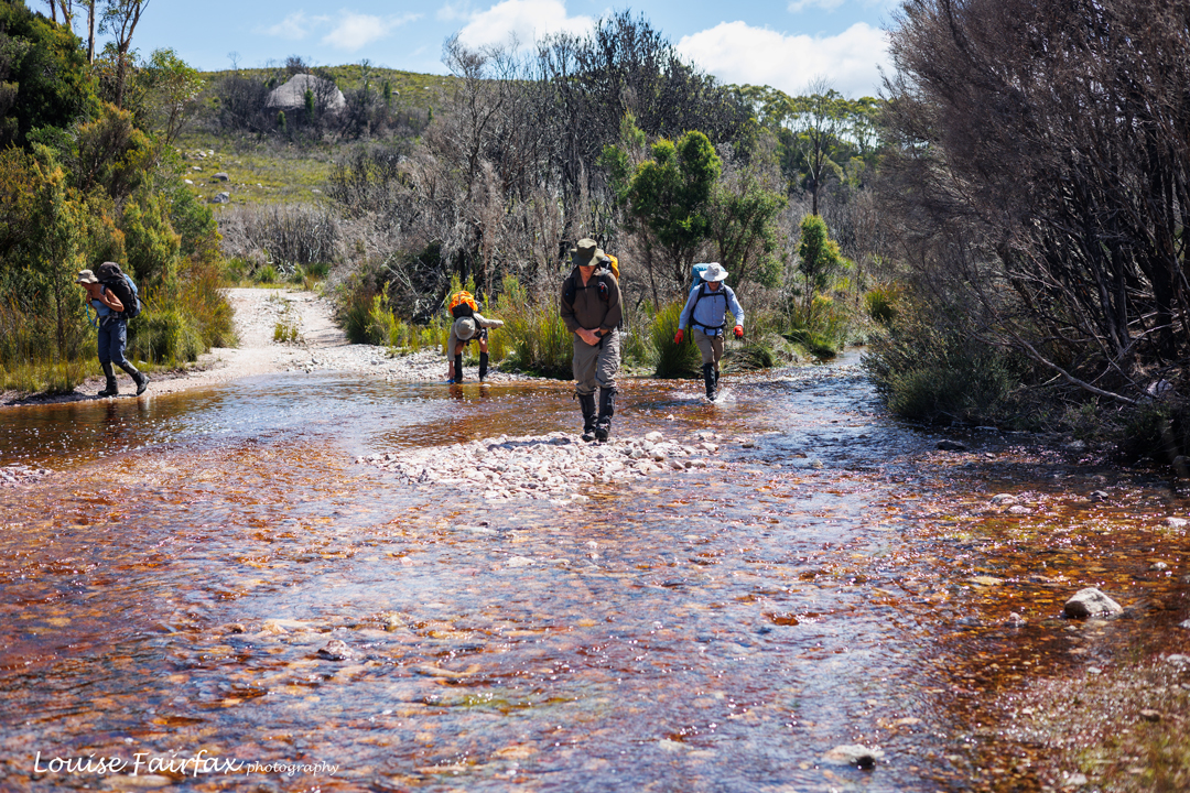
Spicer Track crossing Anthony R, a bit over an hour into the trip. Here we were, all keen for time in the wilderness and these two mountains in particular. It was to be a five-day trip, as we were also going to explore the Sticht Range. I knew I was running-fit, but last week in the Jubilee Ranges made me question whether I was also pack-carrying fit. That ingredient was gong to be rather essential on this expedition. I set out with uncertainty.
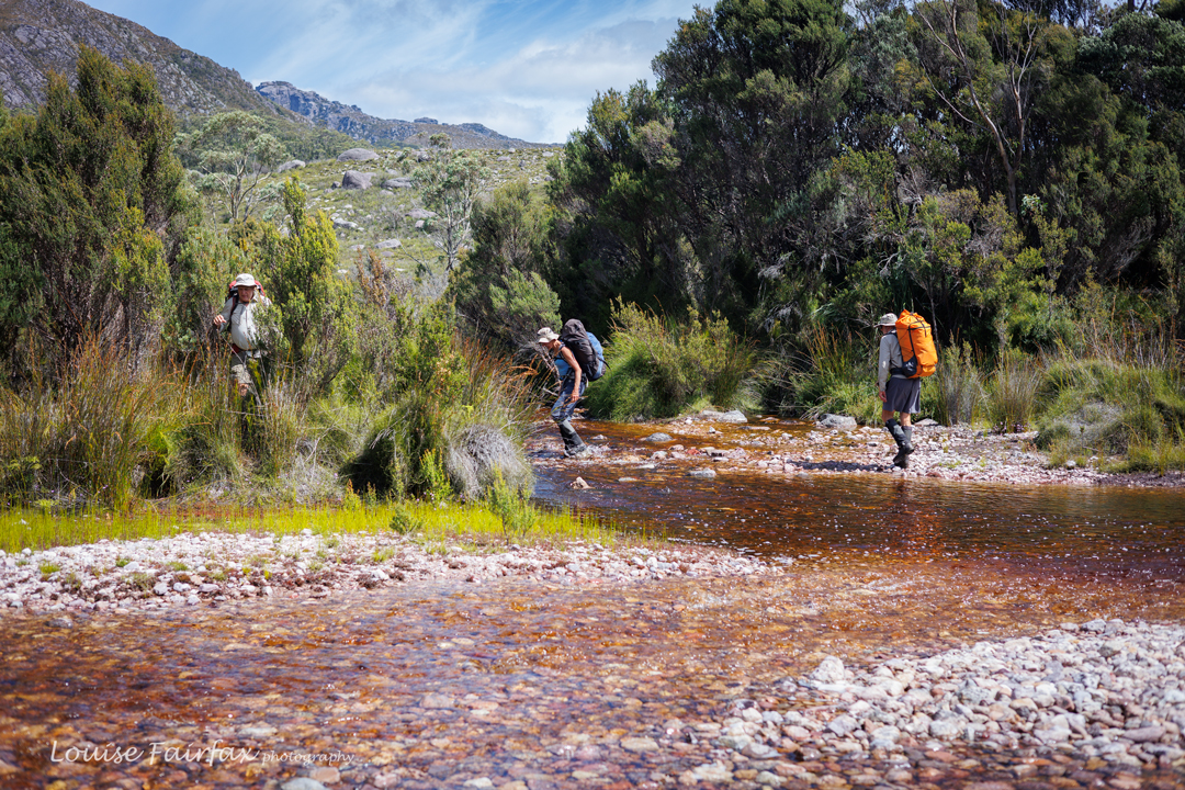
Lake Spicer Track over Anthony R The plan for day 1 (begun after lunch because of driving time) was to walk along Lake Spicer Track until we arrived at just the right place to camp for the first night. The aim was not to go all the way to the lake itself, as we were expecting rather a hefty storm the next night, and the level of the lake might rise enough to turn tents into cute islands in the lake, if the strong winds didn’t blow them down first. We needed a sheltered spot that neither wind nor rain could mar.
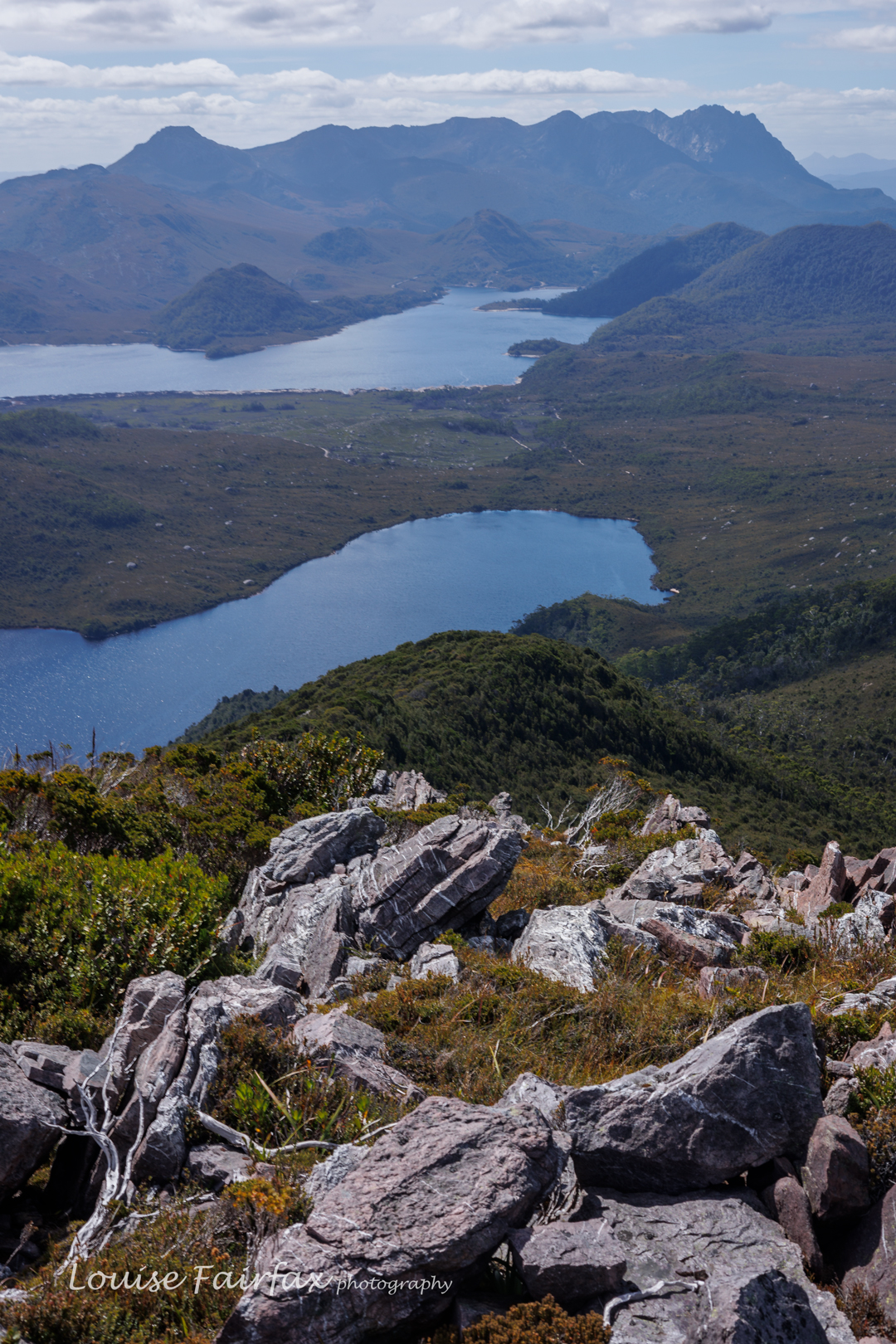
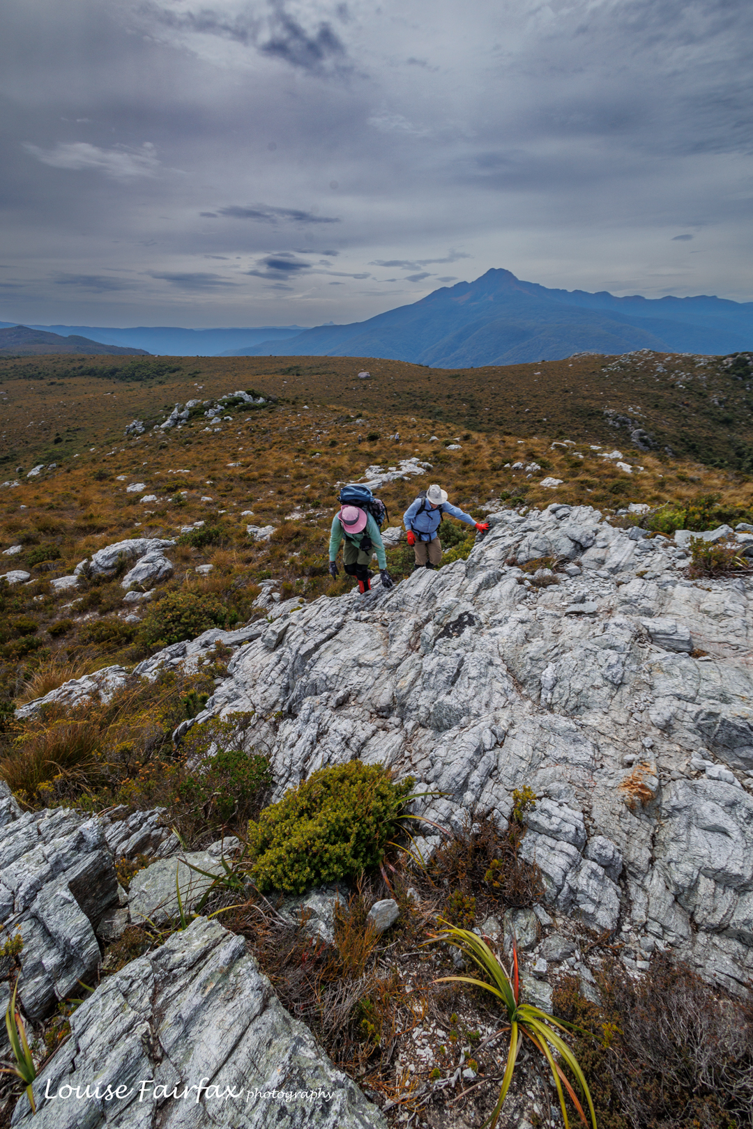
Walford Peak view to Mt Murchison, Lake Plimsoll and Lake Rolleston There was no sign right now of the storm to come. The sky was blue; the day was glorious. Crossing the many creeks and puddles was picturesque and enjoyable, and gave plenty of drinking opportunities. Thus, when we reached the high point on the track just below Walford Peak in just a tad over two hours’ walking time (on the agenda for a later day on the rebound), it was decided not to waste such beautiful weather, and climb it right now. I was thrilled. We dumped our packs and up we went. The bush was pretty thick, but it yielded to energetic shoves, and in a shade under forty minutes, we were at the top. Everything looked glorious from up there. The many lakes in our purview shone with sparkling blue iridescence; countless well-loved peaks towered above with clarity.
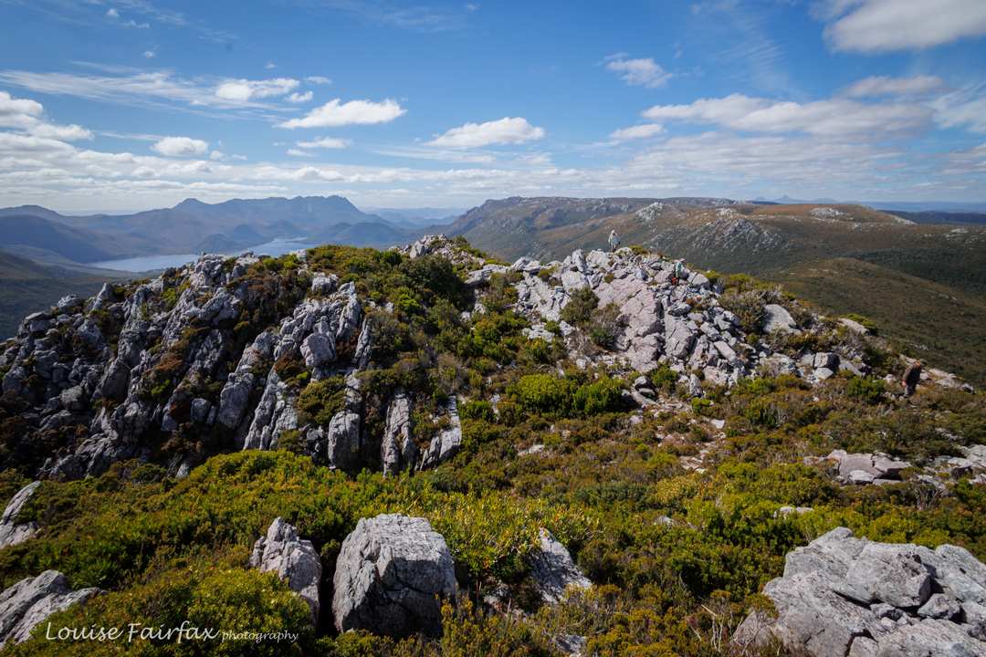
Walford Peak view to the Sticht Range (Right) and Lake Plimsoll and Mr Murchison (Left). Back down on the track once more, descending to our eventual campsite was fun, as said track turned into a creek with cascades that were rather pretty. Soon enough we were beside Lake Dora, and agreed that a point on the road that was a bit of a knoll would be a great place to stop. We had been on the track for about three hours, and had also done eighty minutes without packs to climb Walford Peak, but for some reason that wasn’t quite enough for me, so I went and explored the track further after dinner, and climbed a small bluff for kicks. The view was excellent. Maybe my problem was that I had just eaten the worst dehydrated meal I can remember. The packet said it was vegetarian shepherd’s pie, but it was sickly sweet and made me feel very dissatisfied.
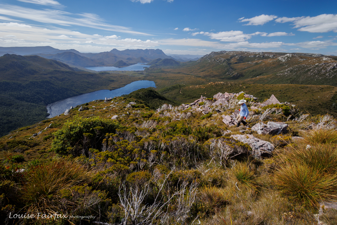
Descending back to the track. Lakes Rolleston and Plimsoll, and Mt Murchison behind. 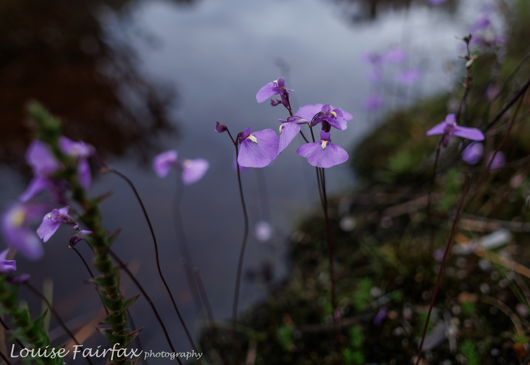
Ultricularia dichotoma near our tents. By the dawn of day two, you could tell that the weather was changing. The air had mood and attitude, and clouds were assembling. We finished off the Lake Spicer track quickly enough, and then began the somewhat long climb up onto Unconformity Ridge. That ascent contained probably the thickest scrub of the day. Once we reached the ridge itself, the terrain varied from patches of thick scrub to long areas of smaller bushes with button grass, both knee to waist high. Only the very last bit was easy going. The actual moving time (ie, breaks not included) was around 3 hours 40 minutes total in each direction, from tent to summit and back (3 hrs 10 off-track). On top of that time, we had a few breaks so everyone could be comfortable, often eating, or just chatting and looking at the view.
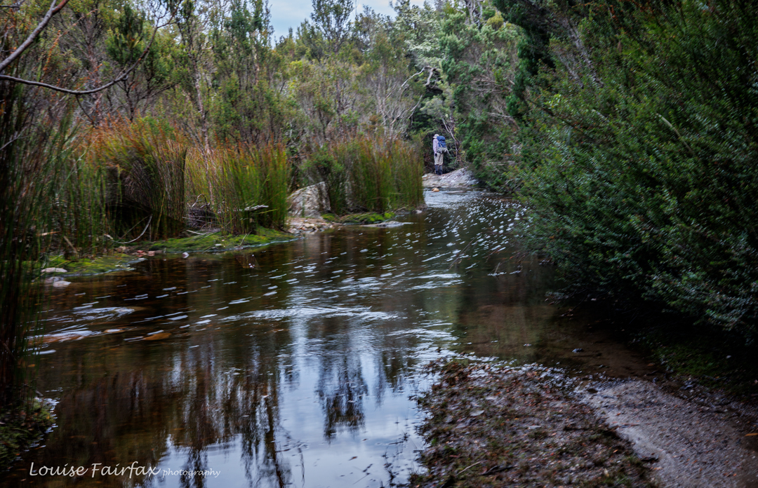
Lake Spicer Track. Yes, this water is the track. 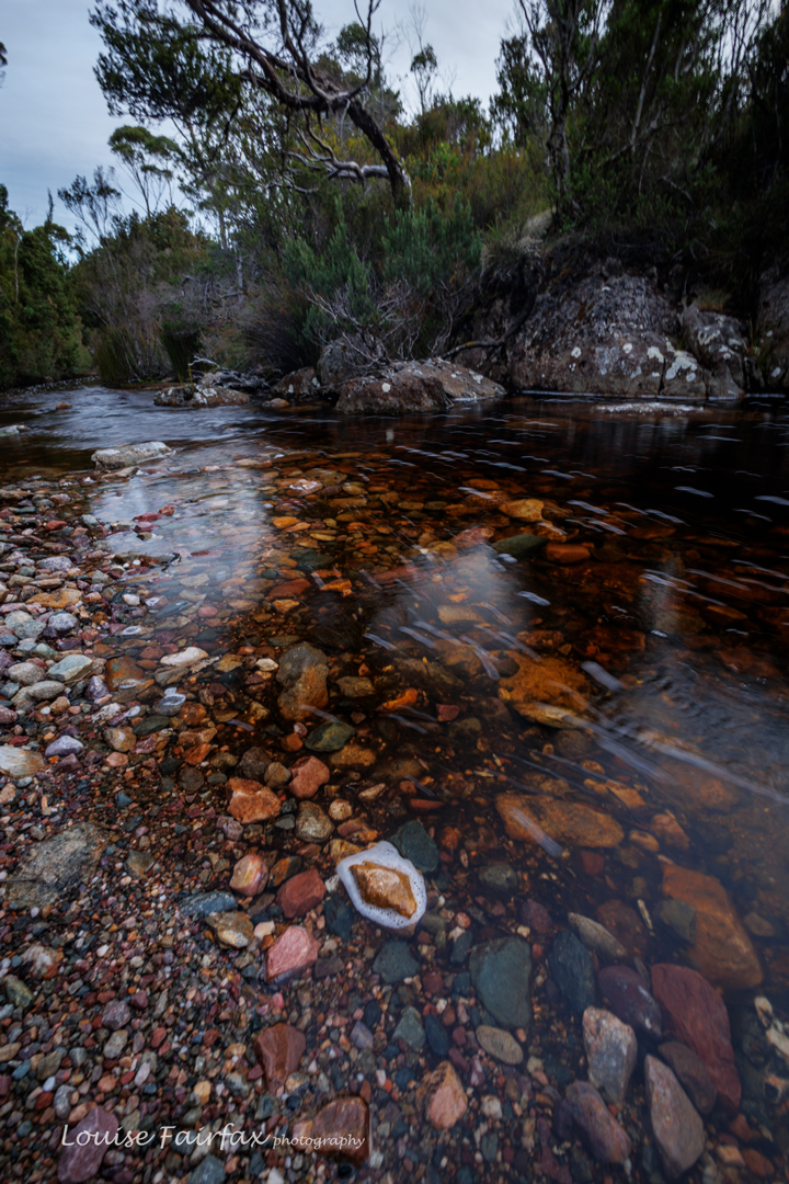
Another watery view of Lake Spicer Track Luckily, we got to inhabit the summit area without rain, but the wind was so strong that hats went flying, and we all huddled for shelter on the leeward side of rocks to have our lunch. The view was disappointingly hazy, not just from approaching bad weather, but also from fires in the Central Highlands. I didn’t take many photos.
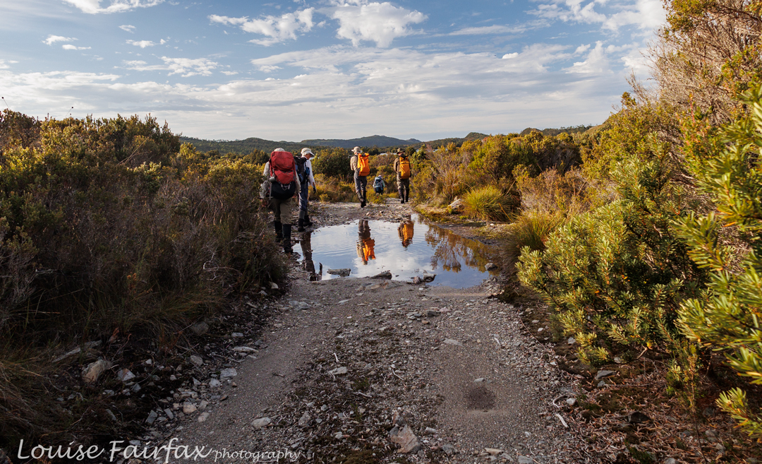
We reach Lake Spicer. From here on, it’s all bushbashing Half an hour after summitting, we were off on the descent, trying, but failing, to beat the oncoming rain. By the time we hit the track, it was raining properly. I was pretty wet on arrival back at the tent. We tried to dry wet garments in the breeze while we had dinner, but things remained quite damp, although no longer dripping.
Marble Bluff view to the north. Eldon Peak towers behind That night, as I lay in bed, I enjoyed the sound of very angry wind howling above me, often lifting me off the ground as if I were on a magic carpet. It was rather fun. However, a toothache that had been brewing over the preceding days was particularly painful, so I didn’t get much sleep.
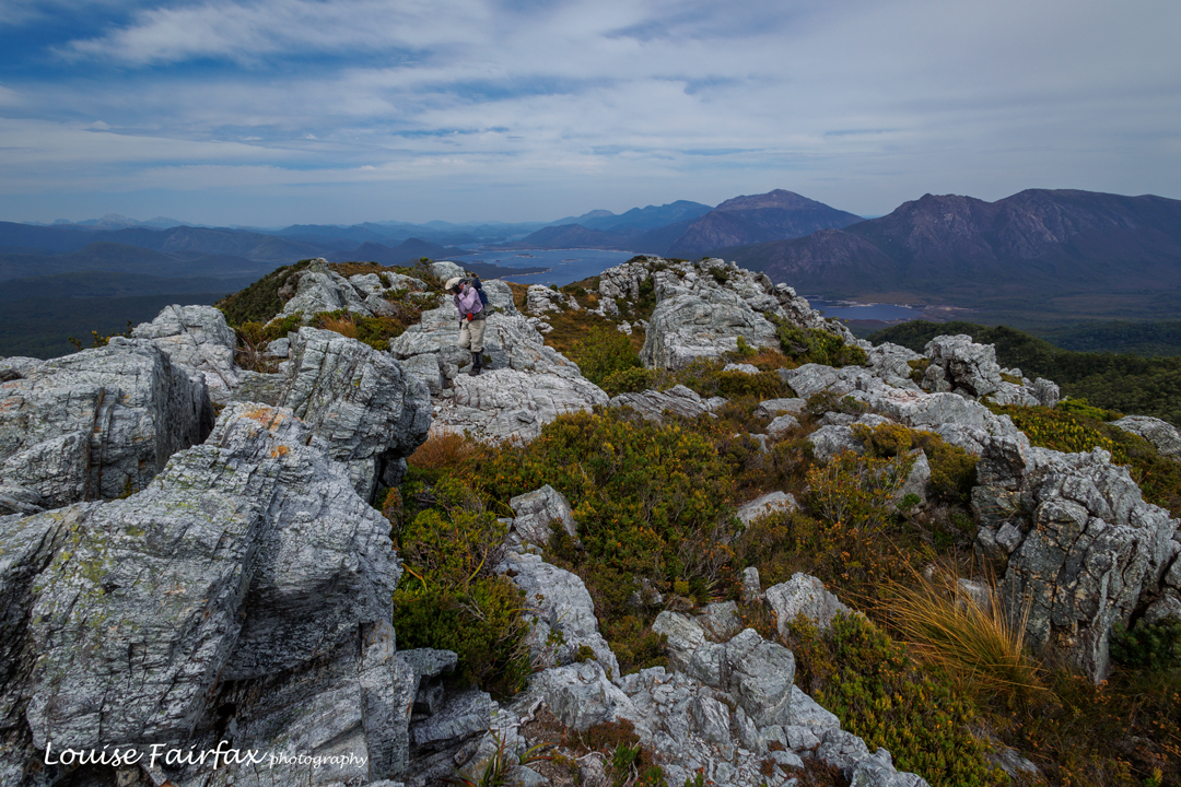
Marble Bluff view to the to south: Lake Burbury, Mts Lyell, Owen, Huxley and Jukes On day three, the rain had settled in. I decided I needed to attend to my tooth as soon as possible, so bailed out of the rest of the agenda, and dashed back to the car. I made it in under three hours, not bothering with any breaks seeing’s I was alone, and find no particular pleasure in sitting in the rain to rest. I drove to where I had reception, made an appointment to see my dentist and bought the strongest pain killers I was allowed (I don’t usually use such things). Right now, it is the middle of the night, but my pain is so great I can’t sleep. I sure made the right decision to come home. The Sticht Range, object of today’s agenda, will just have to wait for another day. My gear was saturated when I reached the car, but I arrived home to a desperately dry Launceston.
Next day (today as I write) I had to have my wisdom tooth extracted. Leaving early was more than a good idea!Jubilee Range 2024 Feb
Over ten years ago, I said in my blog that I would like to return to the Jubilee Range, not only to reach the actual high point, but also, and far more importantly, to sleep up there. For me, sleeping on high and witnessing dawn and dusk are the essential elements of a satisfying wilderness experience. A single day pop-in doesn’t have nearly the same effect on me.
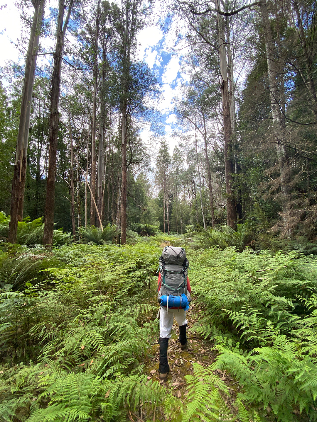
The road walk in : 3.5 kms. Photo cred: Adrian Bol. (White pants did not stay white). Luckily for me, one of my waterfall hunting friends, Adrian, had decided he wanted to check out some falls way at the far end of the range, between it and Nevada Peak. He planned a trip with four of us eager beavers in mind, but two dropped out. I feared our speed difference would make the trip boring for him, but he disagreed and encouraged me to continue, so off we set. Thanks mate. He knew I needed the restorative powers of the wilderness to soothe my soul a bit. Nothing like pushing your way through dense melaleuca and bauera, piercing your skin with cutting grass, and goose-stepping over high button grass to soothe the soul. The steep climb in debilitating heat no doubt also contributed to distracting me from the state of my soul. I drank 5 litres of water on day one!!! Pity all the creeks were dry!
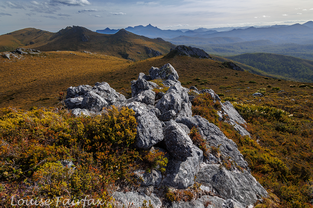
Jubilee Range campsite. Our cause was not helped by the fact that the road is now impossible and impassable beyond the Styx crossing. We had to walk 3.5 kms to get to the actual start, which added over an hour in each direction.
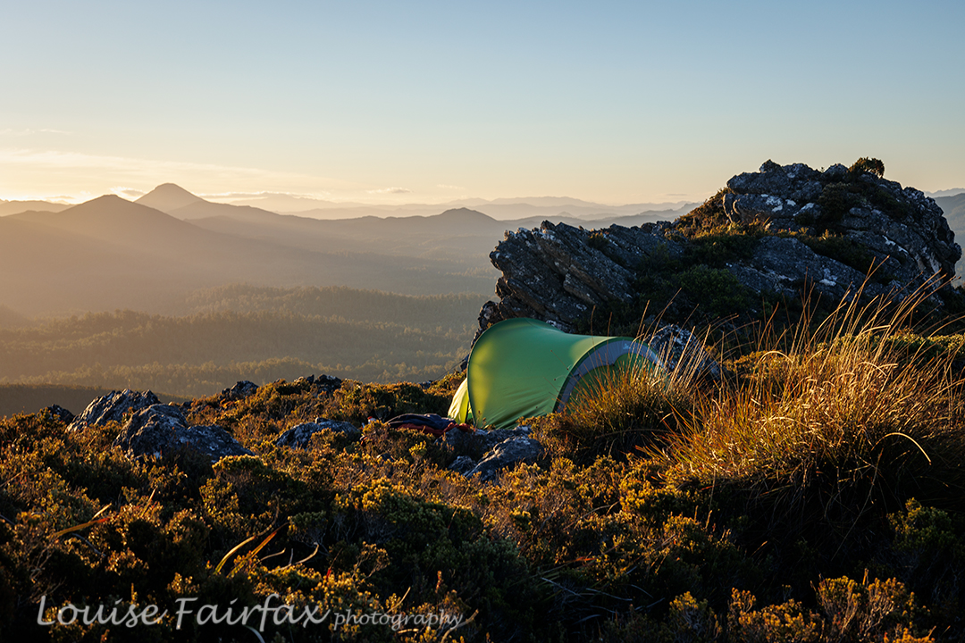
Jubilee Range Adrian’s tent Luckily, we kind of had enough water to make it to Mt Jubilee. Progress was very slow, and every time we stopped, I needed another 500 mls – far more than on the Larapinta trail, where I drank 250 mls/hr. After one hour, first break, we had covered a mere single kilometre. This dd not bode well for our overall plans. We could only do whatever it was we could do. On we pressed. Up through the thick, resisting muck. More water disappeared from our bottles.
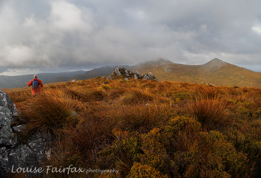
Jubilee Range day 2 begins. I started to worry about the future of this trip. We had already consumed so much water that we didn’t even have enough for dinner. If we didn’t find water by the summit of Mt Jubilee, I decided, we would need to turn back. Our whole trip depended on finding a source of water somewhere up high, but as all creeks had been dry, the prospects did not look good.

Jubilee Range: tarn below “Lunch Bluff” on “Endless Tarn Ridge”. The slope looked like it was at last levelling out. Our climbing trials were nearly over. We were going to crest the slope near a rocky, bluffy sort of arrangement, with Mt Jubilee itself just slightly to our left, only a couple of minutes away. I dumped my pack unceremoniously on the ground and looked to my left as I turfed it. Unbelievably, hidden behind the deep green of knee-high bushes was a tiny, tannin coloured, yet pure and clean, tarn. Our trip was saved. Yahooooo. Adrian dumped his pack, and we drank, and drank and drank. I needed more, so added two more protein drinks to the couple of litres I’d just gulped. Off we set on the 5-min ‘trip’ to Mt Jubilee. On top it was nice, but I was still thirsty, so had to return to the tarn for more water and two “post workout smoothies”.
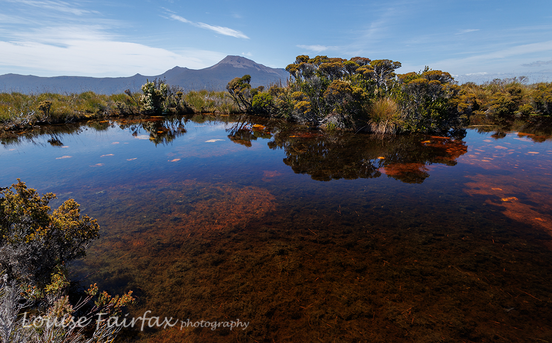
Jubilee Range day 2. The Pool sort of near Lunch Bluff. Nevada Peak behind. It was only mid-afternoon by the time we had explored our first summit and drunk to our hearts’ content, but I was finished for the day. It had taken five walking hours from the car to where we were, and I have not done any pack carrying or bush bashing for many months. The plan had been to sleep near the actual high point of the range, but Adrian kindly agreed to sleep where we were. By this stage, I needed a cup of soup. I really was a hard case this day. Adrian had a cup of tea, and we spent the rest of the time between then and sunset climbing knobs and bobs nearby, of which there were plenty, eating more, and setting up our tents. I was so exhausted, and so out of practice, it seemed to take forever just to get my tent up. Sunset was pretty OK, but not exactly what we’d ordered. That’s part of the beauty of nature: it is unpredictable, so you just never know what it will deliver.
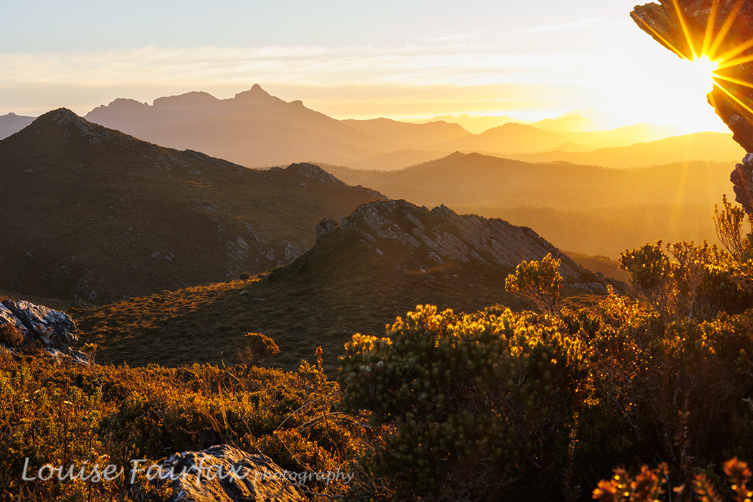
Jubilee Range sunset night 2. Mt Anne and friends behind. The next morning, an inversion layer had been predicted in some weather app. The predictors were wrong. We awoke to heavy, blanketing mist. I had set my alarm for 5.45. I peeped out my window, groaned and rolled over in my bag. Every time I checked, there was no improvement. Near 7, I checked on Adrian’s tent. We decided we would keep our tents where they were and just do a day walk. There was no point in lugging them higher in mist like this.
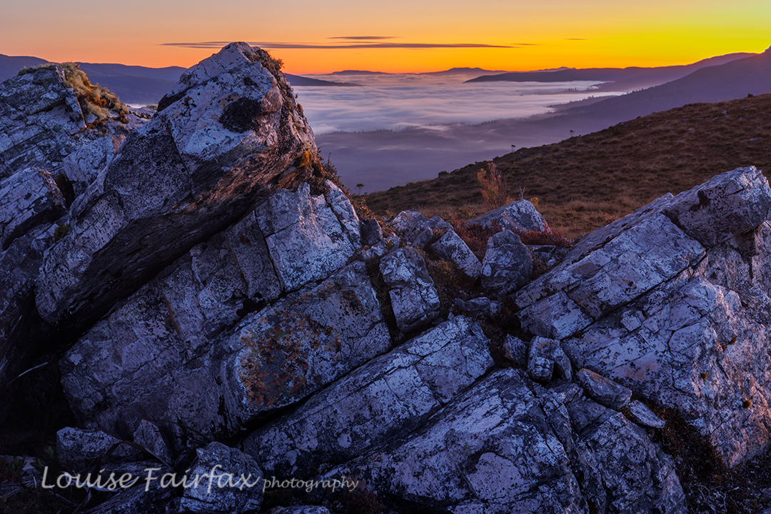
Jubilee Range dawn Day 3. We walked for seven hours this day (plus stops), covering territory that we have never seen photographed or blogged (beyond the Jubilee Ra High Point). We explored “Endless Tarn Ridge”, “Neighbour Ridge” and Lunch Bluff, and photographed Special Tarn, Sibling Tarns, The Pool and more. There were far too many tarns to name; even far too many tarns to photograph them all, although we made a pretty fair attempt at that. By the end of seven hours’ exercise, I was glad to be returning to our tents. If nothing else, I was hungry for an early dinner.
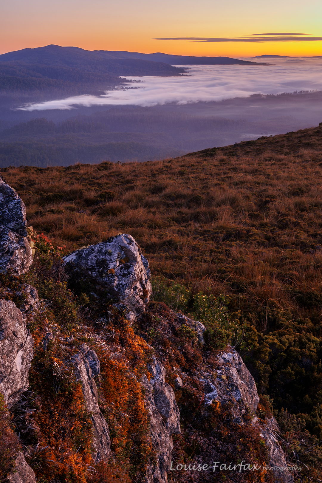
Jubilee Range dawn day 3. This night, sunset delivered, and the next morning, we got the inversion layer we’d wanted the day before, along with glorious colour. It was very well worth the early rise. Again, we climbed assorted knobs and bluffs for different vantage points, and shot happily until our fingers dropped off and the sun rose, and it was time for porridge.
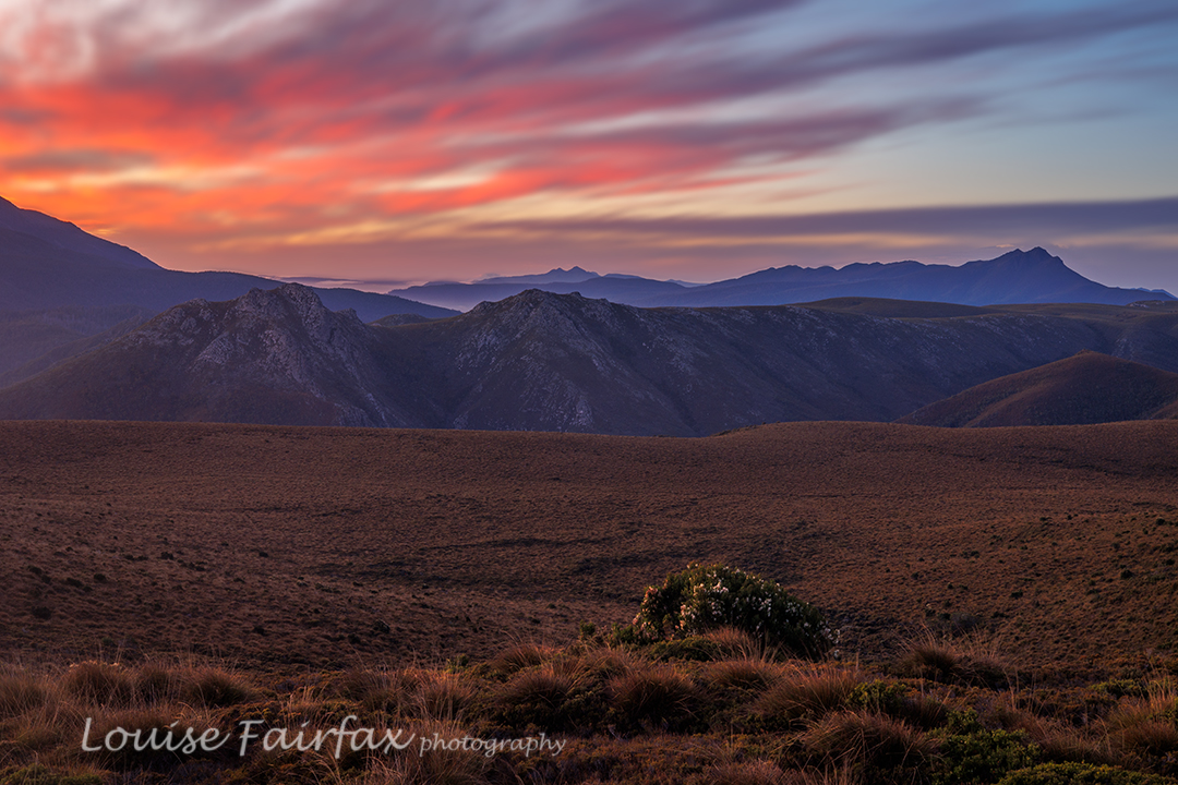
Jubilee Range dawn day 3 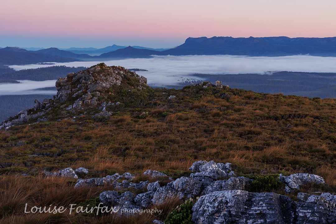
Jubilee Range dawn day 3. It was glorious walking with the mist lingering below us. The scrub was still very thick, but descending makes it a bit easier. There was one section where it took us 15 minutes to cover 80 metres (the final creek crossing – quite a bitch).
I normally hate roads, but the concrete pipe that marked the end of bashing and the start of the road was perceived by us at that moment as a thing of great beauty. We cheered and gave each other a high five, had a break (drink) and then took the road (mossy covered, fern filled and shady) as quickly as we could. We both had an urgent appointment with the Possum Shed for lunch.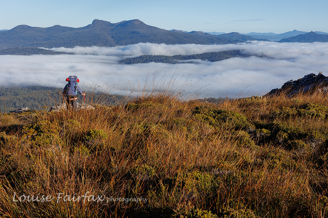
Jubilee Range. The descent. Markham Heights Ben Lomond
We didn’t choose Markham Heights on Ben Lomond for our Wednesday walk specifically because it was the shortest day of the year, and we also didn’t quite choose it because it was possibly the coldest day of the year so far (it was minus 8 as we passed through Blessington), but because the minus 5 we were expecting on top would be a lot nicer and safer with 30 cms snow on the rocks than where we had been going, which would probably just be a dangerous expanse of ice rime.
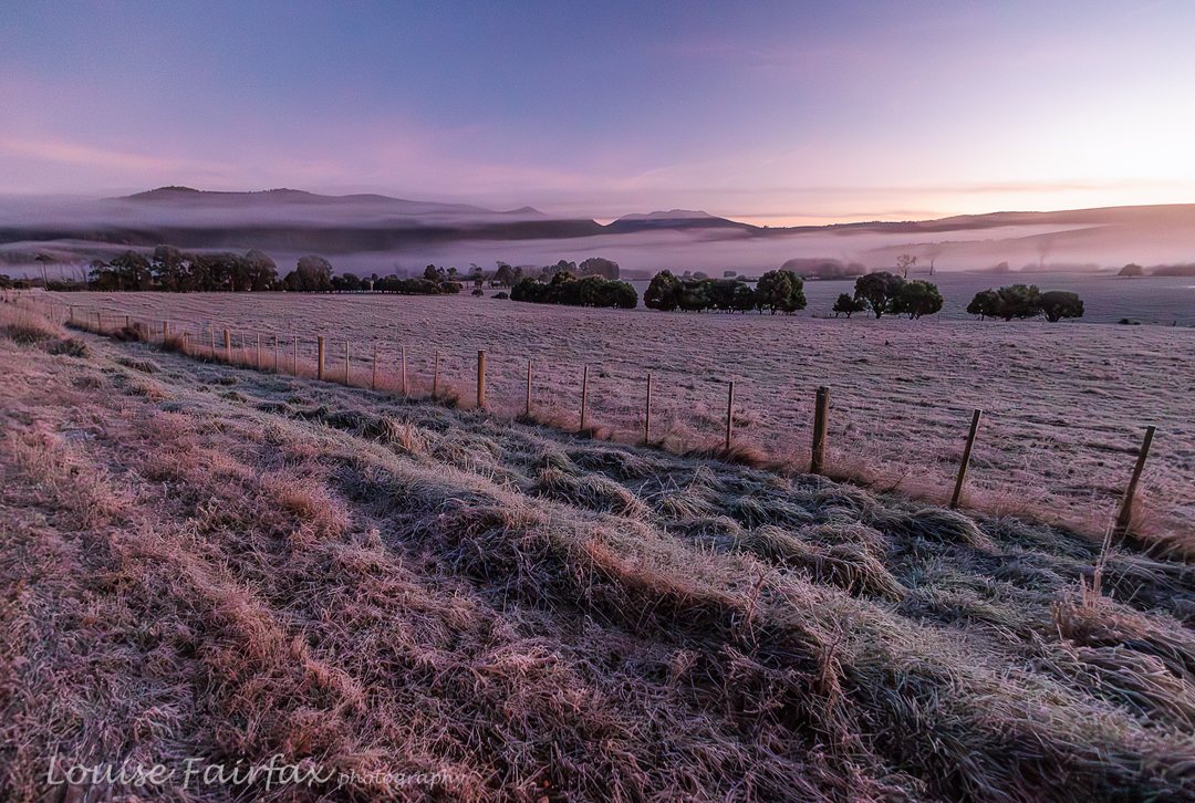
Blessington Valley 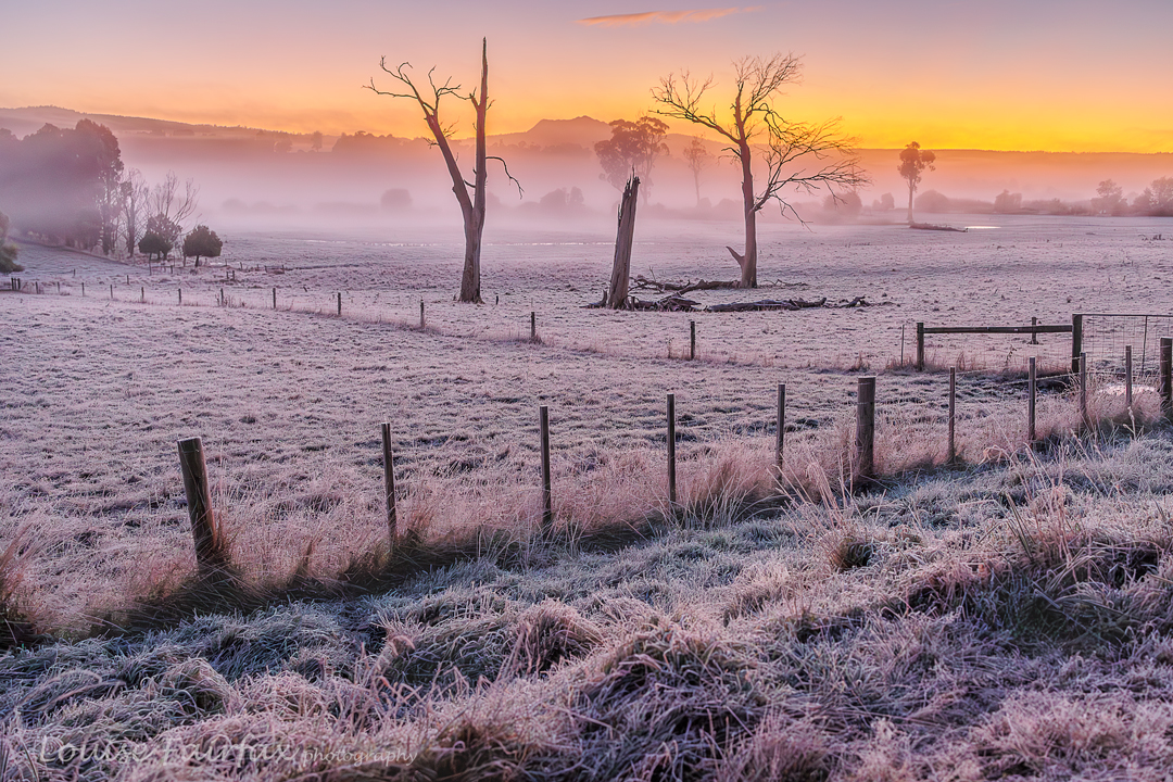
Blessington Valley Meanwhile, I was, at the time of the decision, disappointed, as I had been looking forward to the original destination. Through the dark I drove, heading for the Ben Lomond National Park. My spirits picked up considerably as the sun began to rise and I saw the scenes of some of the photos here. I also nearly skittled a deer which ran across directly in front of me, and also nearly had a collision with a black shadow on the road which turned out to be a cow. Needless to say, with temperatures so low, the road was very icy and I was not familiar with its dangerous points, so drove pretty slowly after those two scares.
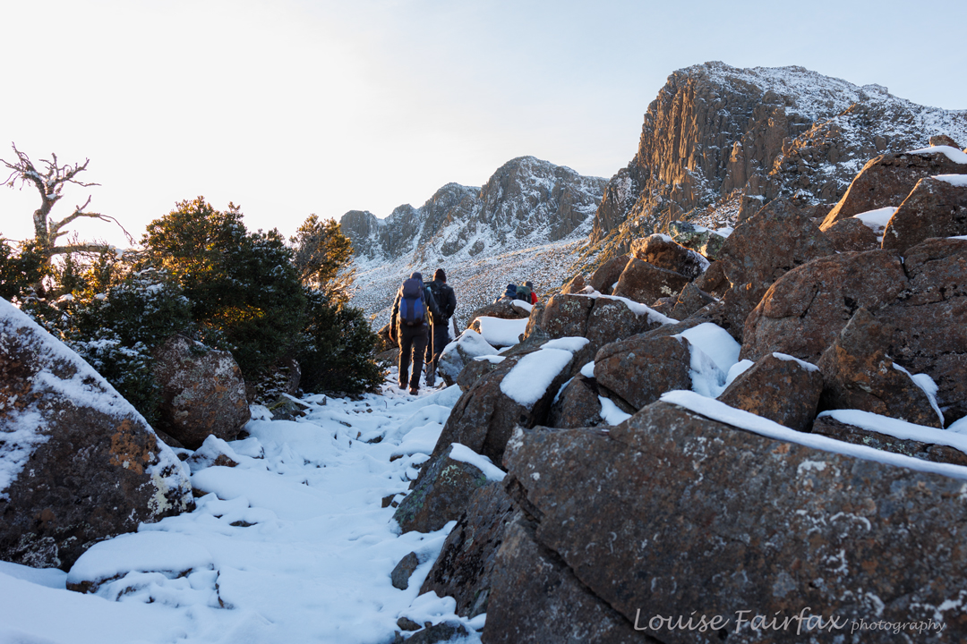
Off we set. Markham Heights leering down at us 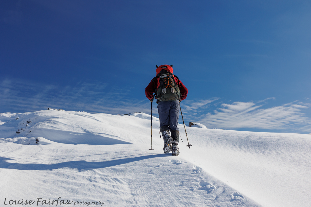
Climbing higher 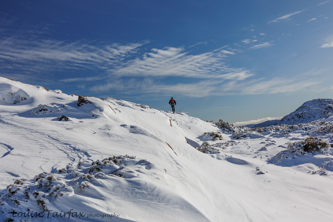
And higher 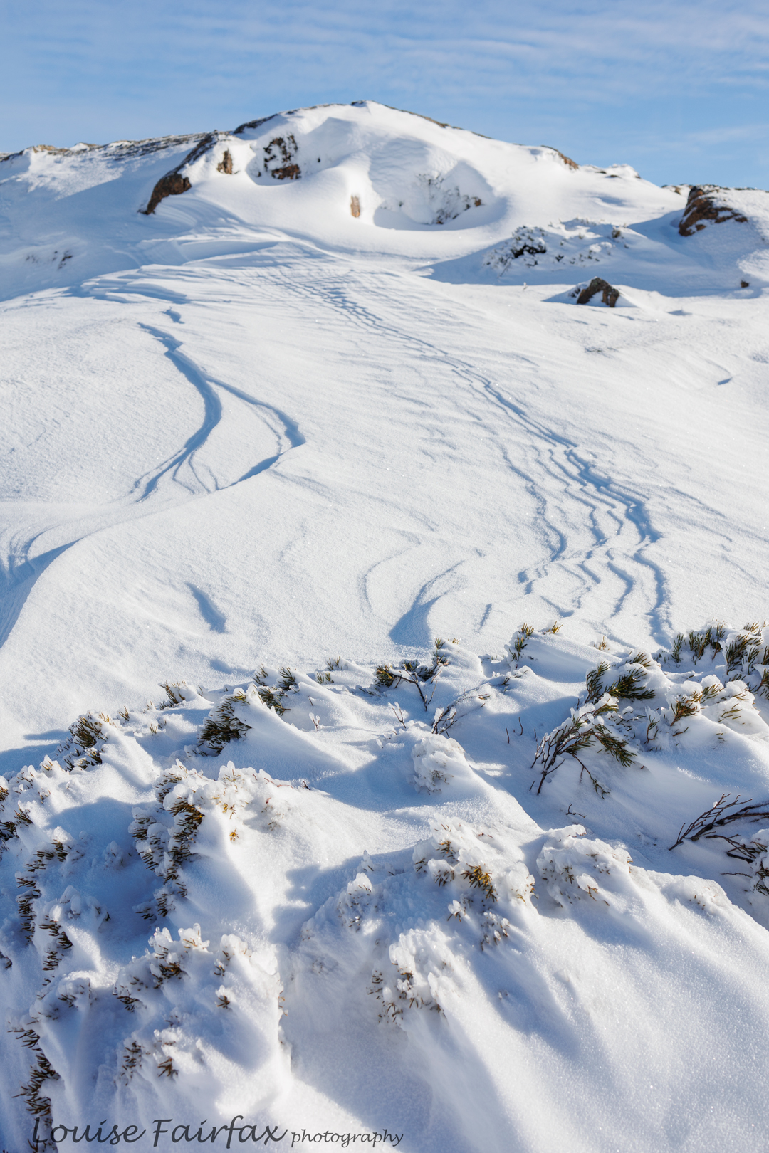
Ben Lomond patterns in the snow I have always wanted to camp under Ben Lomond to photograph the rocks at sunrise. Even though the sun had already risen, the rocks were still delightfully red on my arrival, so while the others did practical things like putting on boots and more coats and beanies, I dashed out and photographed rock. Hey; who needs to go to Central Australia for red rock? We have it a-plenty right here in Tasmania if we get up early enough (or hang around in rocks until sunset). Dolerite, the predominant rock in most of the state, colours up beautifully at the extreme ends of the day.
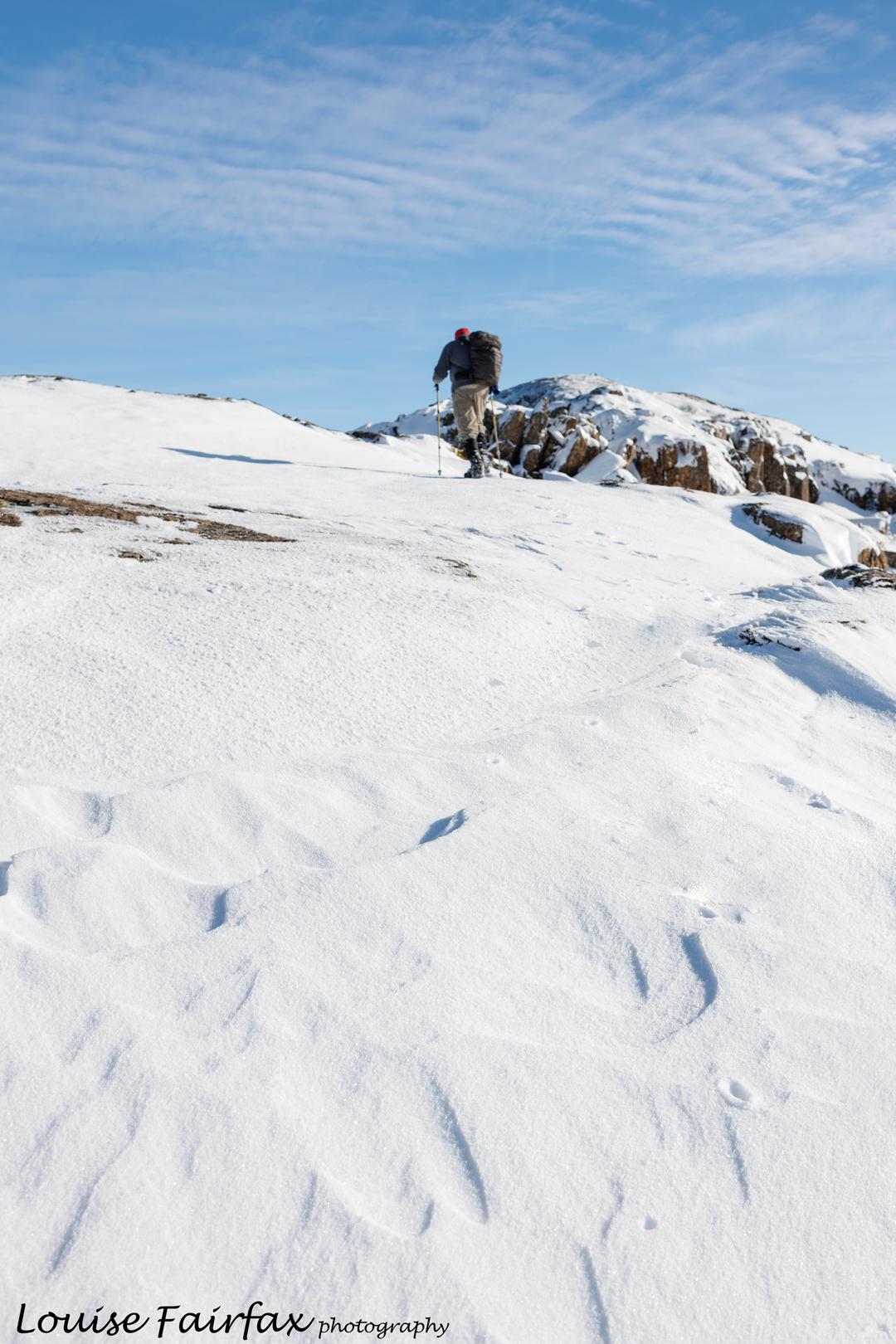
Climbing 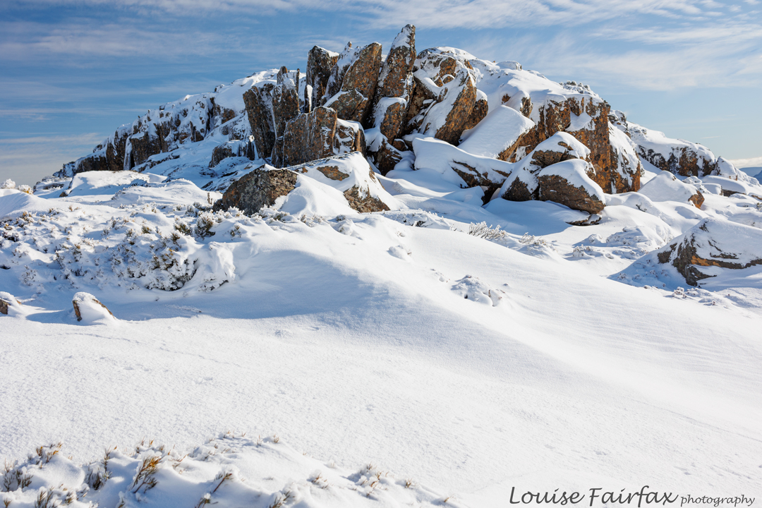
Snowy scene 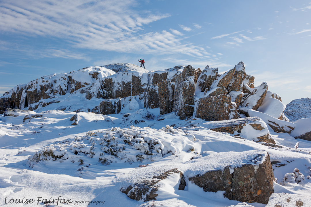
Unnamed knob. Dave arrives. 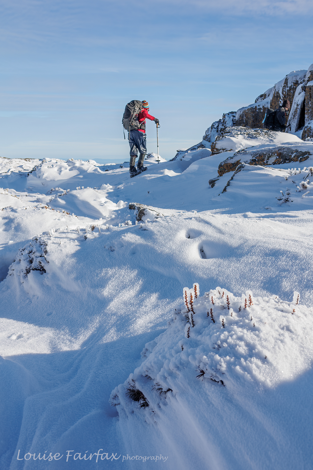
Sue climbs The rest of the day was a visual treat, seeing magnificent scenes of snow on bushes or rocks or windswept mini ridges. We had morning tea on an unnamed knob, and lunch on Markham Heights, and assorted snacks here and there to spin out the day. My coils came off and another friend lost one of his mini spikes, so three of us got extra exercise retracing our steps, which also added nicely to the exercise value of the day, and the time spent moving in the white wonderland. I didn’t enjoy the stationary snack times as much as, well, minus 5 is minus 5, and even with 5 layers of warm clothing on, that is still cold. When I’m moving, I’m fine. Here is a small collection of scenes from the day. I hope you enjoy them.
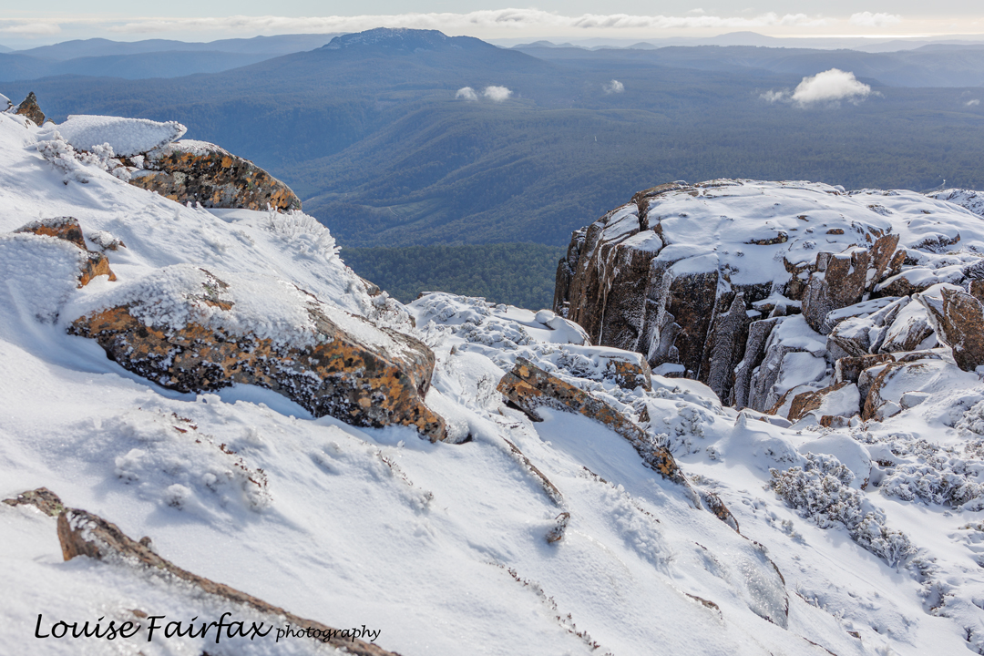
Dolerite from Markham Heights


