Cuckoo Falls Feb 2018
Bruce and I tried to get to Cuckoo Falls two years ago, but made the mistake of underestimating how much time it would take. We didn’t get started until 3.30 on a winter’s afternoon, and never reached our goal. On that occasion, we spent a lot of time putting out tapes in the forest, pulling in tapes that went in an entirely misleading direction, and breaking bracken fronds along the old track so that the way would be clearer, and the going faster next time. At last, this weekend that ‘next time’ came by, but Carrie was a to be my companion this attempt.
Now, please don’t get excited when I tell you I put out tapes. My old tapes were still there, indeed, and they had had babies, which is great, as other tapes had joined them, but this does NOT mean that the going is easy or the way is clear. Like last time, I had a little bag of ribbons of varying colours, grabbed from here and there, and we added even more tape when we thought things weren’t clear, but the trick to adding tape is that you do NOT add it unless you know for sure you’re on the right track, for otherwise you are more of a hindrance than a help. This means that when you need the tape most, you can’t put it out, as you are not confident you’re on track. Once you become sure again, of course, you don’t need tape. Carrie put up with my going backwards on several occasions once we knew we were back on track, and I put tapes where I hoped it would be helpful.
But again, please don’t rejoice and think I have now solved all your problems. Even with the path thus “fixed”, I had to use my gps several times both on the outward and return trips to ensure we hadn’t wandered. There remains ample room for error, and this waterfall must absolutely not be attempted unless you really know what you’re doing. Not only is the path unclear on many occasions, but the way, especially at the end, is rough, violently steep, and challenging, and the rainforest you traverse is old and decayed. Both of us fell now and then when the forest floor gave way under us. This can prove fatal, as Philosopher Smith noted when he was exploring old rainforest further west. I also think that Bruce must have had a fall in the forest (having wandered off track) and got covered by leaf litter: it’s my only explanation as to why we never found him, despite a huge, professional search. Walking in old, decayed rainforest is not to be done without full knowledge of the dangers. I once watched a very experienced bushman break his tibia when a log gave way underneath him, upsetting his balance. I once did a dangerous faceplant down a slope for the same reason. You’re not expecting what’s under you to give way, and so you tumble when it does.
I am putting in my map of our route below to show you its shape. This is nothing new, but merely a shortcut for you, as the shape / route can also be seen on the List Maps, or on old 1:100,000 maps. What is clear on a map is not so arresting on the ground. This is not a track for “tourists” or people who “just” like photography, or even for “track-type” bushwalkers. It’s for experienced, off-track bushwalkers, wearing boots and gaiters, who not only know how to read maps, but also know how to move through potentially dangerous areas, and how to manage steep slopes, as there is an art to negotiating unstable areas and not causing a landslide that would damage the person or the environment. If you are an experienced walker, then this area is pure magic.
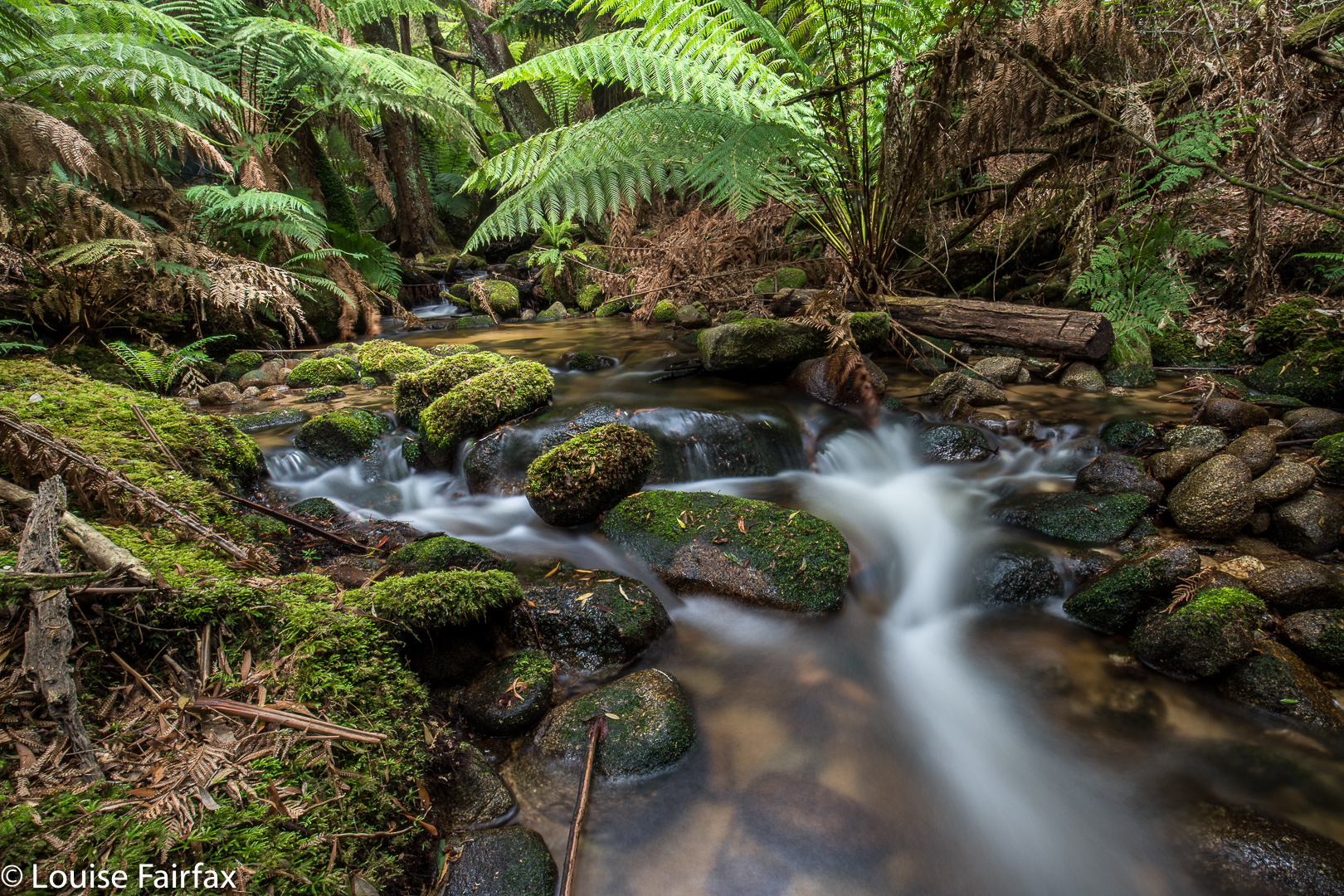
So, enough dire warnings. Let the story begin. As hinted above, it begins by negotiating a very unclear path through delightful ferns, alongside a magnificent creek that is soon left behind as you ascend to dryer domains where the undergrowth is not so lush, but the forest is still pleasing. That said, it comes as a relief when you at last once more hear the sound of running water, as, by this time, you are getting impatient for your goal. We took one hour forty to cover the mere three kilometres of the outward journey, and I would not call us slow. One has to be hesitant in such country, or else it is easy to wander off the route. Like a tracker, you are on the alert the whole time for signs that other humans have been this way.
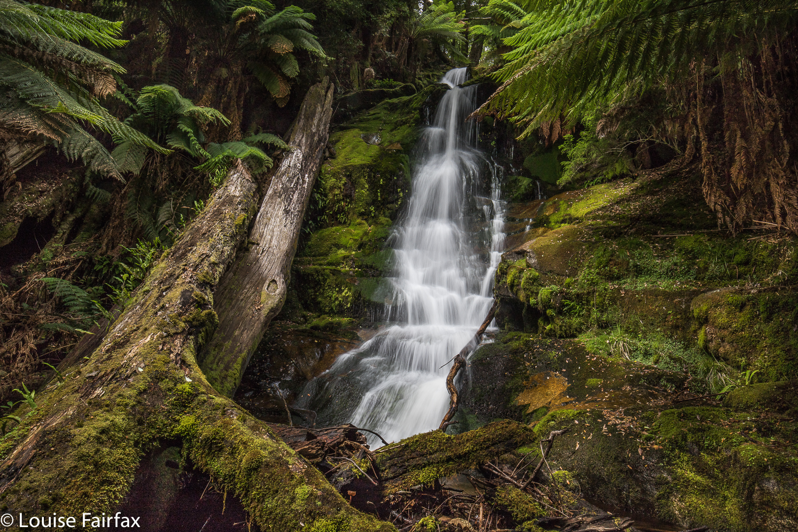
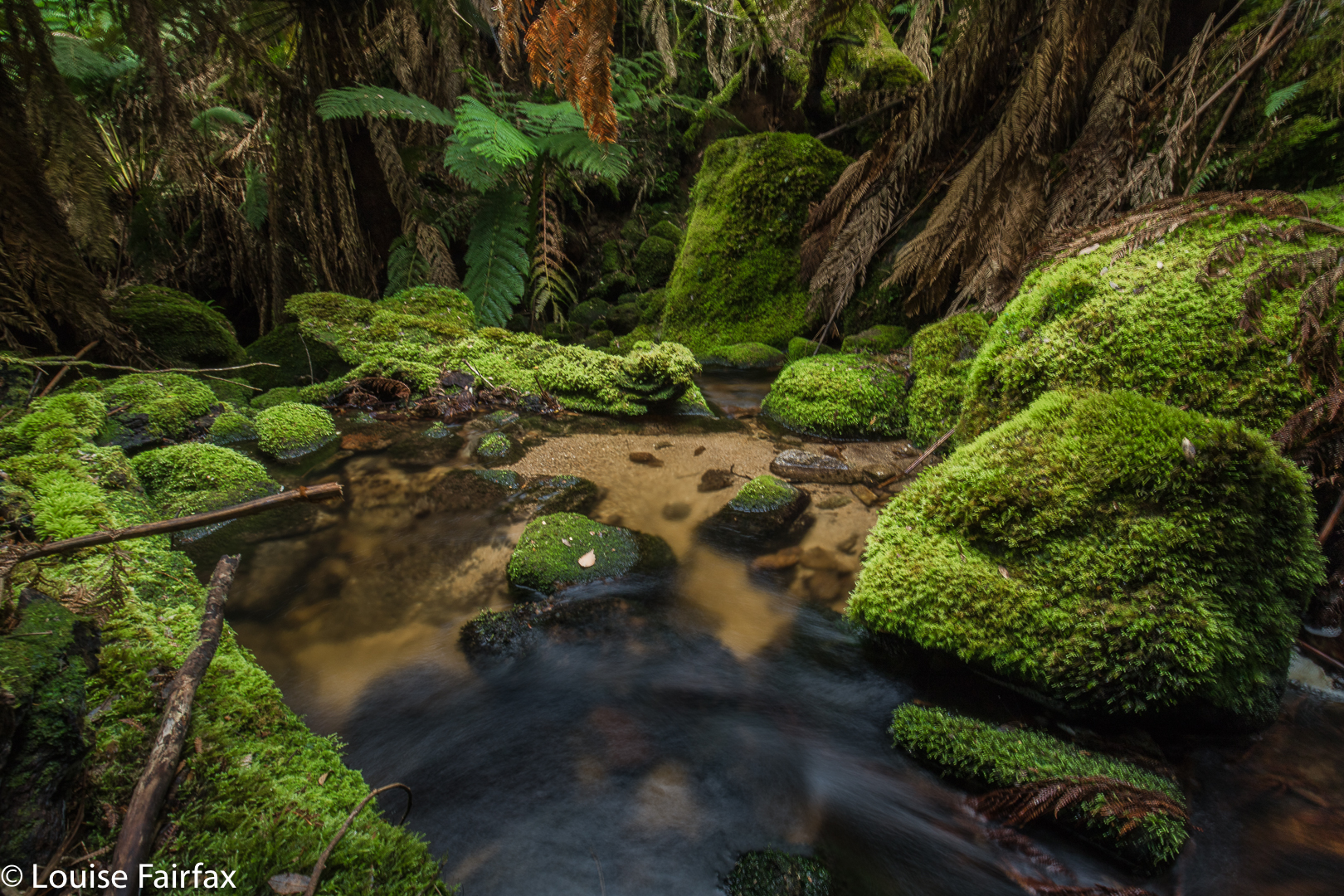
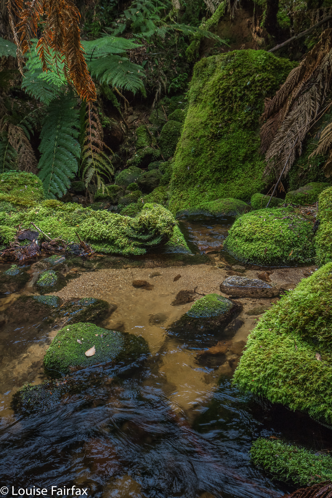
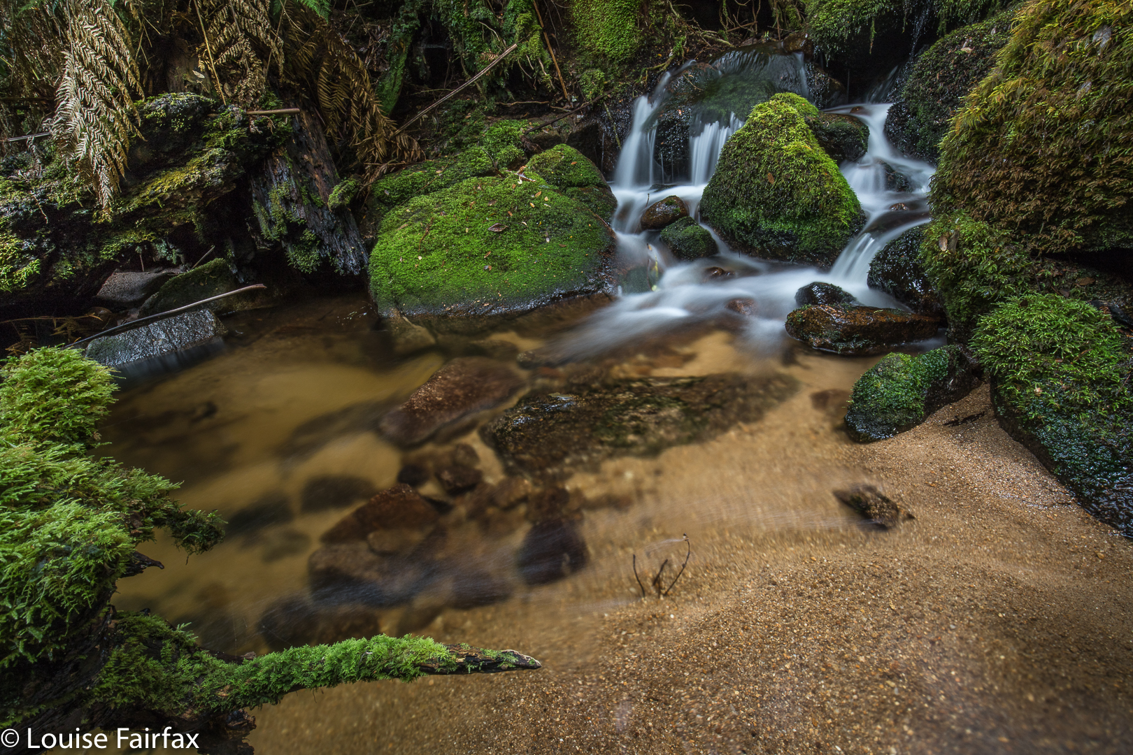
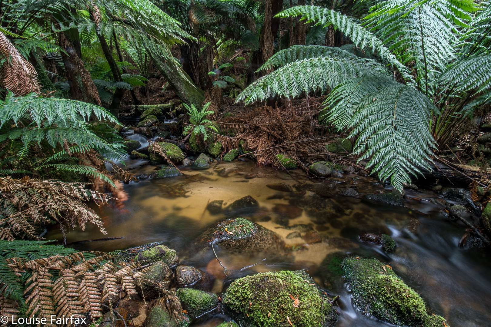 The final hundred or so metres were hilarious. I used to run 100 metres in 12.2 seconds. I think we took over ten minutes to negotiate the final hundred into the falls – or was it even longer? I didn’t time it exactly, We had started to lose our belief in the existence of what the map was promising, as we could neither hear falling water of any magnitude, nor see the telltale white glare up ahead. At last I gave a victory shout. We had done it. Before that, however, there were squeals of joy, like infants when they see the birthday cake. Once we descended from the heights down to the river, we felt we were in fairyland. It was utterly wonderful, and we were yelping in our excitement, lining up pools and cascades we would shoot on our way back. At that stage, we both wanted the final goal first, and these other spots could follow.
The way there took, as said, 1 hr 40 mins (walking). The return, where we spent less time track finding, 1 hr 20. These times do not include tag maintenance, hesitations while route finding, photography or eating. When you add in those things, the trip was 4 hrs 20 minutes long – and that does not include lunch. We had that back at the car. At “lunchtime”, we both grabbed a rushed few bites of chocolate bar, and then set about photographing, which we did for forty five minutes (so my phone’s track data tells me). We probably spent another thirty, at least, photographing pools on the rebound.
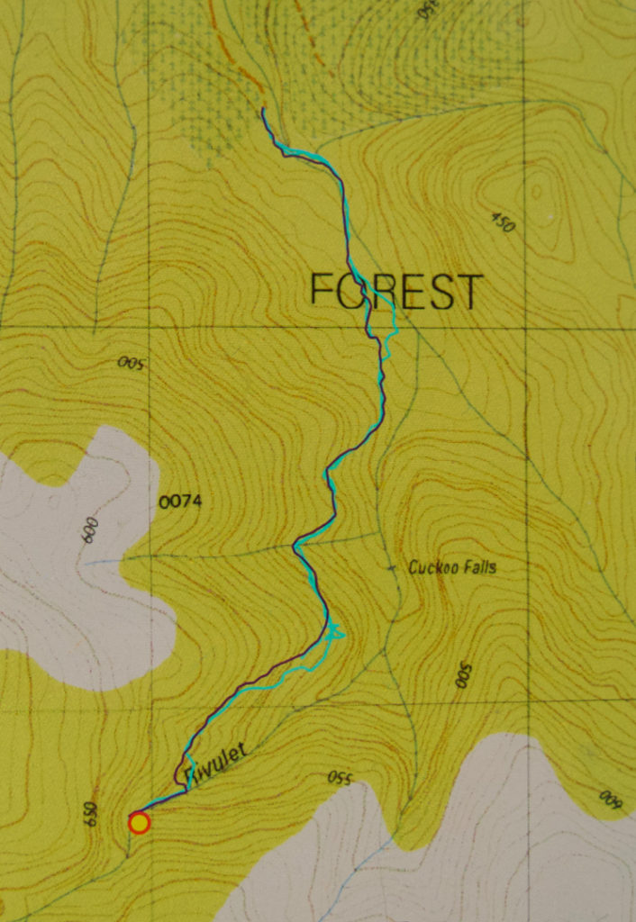
There is a curious feature about the photo I have included. Can you see there’s a falls labelled Cuckoo that we didn’t visit? And that we are claiming to have visited Cuckoo Falls at the far end, when it is not labelled such? The far end Cuckoo Falls are the falls of the 1:100,000 map, and also of the List Maps, government site. These falls on this map seem to be a speciality of some 1:25,000 maps. I am still seeking an explanation of this intriguing matter. We were totally happy with the falls we found and the photos we took, and did not have time to explore these other, nearer falls on this occasion. Besides, it’s nice not to exhaust an area of such beauty as this, and to have an excuse (as if one needs it) to return. If you know the story behind the two Cuckoo Falls, please let me know in the comments if you can.
Post script. I have now been told by a very experienced person from Scottsdale that the “lower” falls marked and labelled on this map do not exist. They need to be omitted from List Maps. I guess someone made a transcription error at some stage, and it has been handed down.

Hi
A friend and I walked the track today.(23.12.18) It was my 3rd attempt with much preparation in between. I was delighted to find your tapes which look as if they have been recently augmented. I filled in a few gaps where I was certain. I was pleased to see that most of the track follows the old original track complete with “vintage” metal track markers. A family friend used to maintain the track many years ago so I have lots of photos to show him. I agree that the last 100 metres or so is diabolical but very much worth it.
this might be an excellent practice track for the canine SARS team. Well done on the tape maintainence guys! Always check the geocaching tasmania website for a cache before you go there was one at cuckoo falls.
Myself and 3 mates put up the metal markers years ago, mainly from where the track left the cattle track, we cut the track in after it was roughly marked by Shaun from the local Forestry up to the falls, which are marked on the Tasmap 1:25000 about 1.5k’s short of where the actually are, there are only one lot of falls on the river.
We often walked in at night after work and camped up on the edge of the Reserve, we had the track that well marked. Over the years we would have gone up over the falls dozens and dozens of times.
The scenery was always beautiful, the only wildlife we saw were Wedgetails, the Myrtle forests are something to behold.
Thanks for the work Peter
I went up there today the ‘misleading track’ was the original. There was pink, blue, red, orange coloured tapes everywhere just making it a hindrance