Mt Geikie at last.
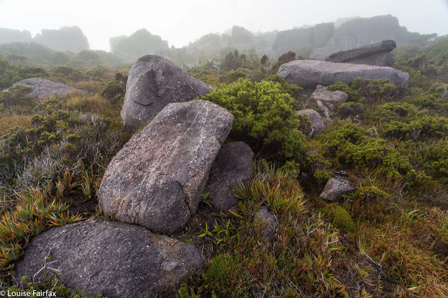
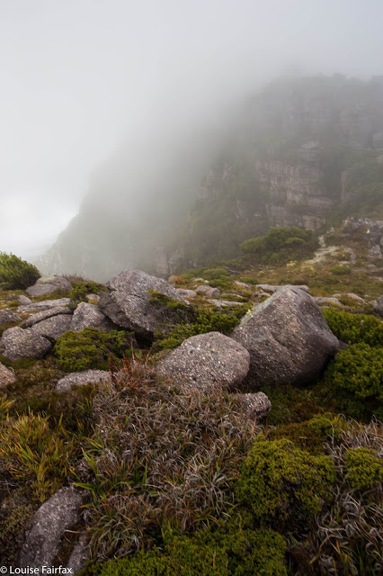
If you would like a little shot of adrenalin, then borrow someone who’s had Parkinson’s Disease for fourteen years, and take him up Mt Geikie alone on a misty day on which the way is a point at the end of a compass needle and the route, an uncertain traipse through small and large cliffs and patches of scrub. The mist was so thick at times that the mountain was not even a dark shape in the gloom. It just wasn’t there. And if you’d like a bigger dose, then take said gent through the thick band of tanglefoot (Nothofagus gunnii) and scoparia that runs from The Bastion, due west.
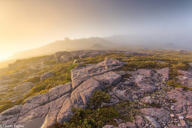
The watery sunset arrives (long exposure)
Last time I attempted to take my husband up this mountain, we got as far as The Bastion, but in the thick mist and with darkness rapidly approaching, I pulled the plug. We had already exceeded my predetermined turnaround time, and I could see no ready way of getting down to the saddle that lay between where we were and our goal. There was no time to search, and certainly no time to try and fail. The mist was ominously dark. I do not regret what I still see as a wise move that day (you can read about it on:
http://natureloverswalks.blogspot.com.au/2014/11/mt-tyndall-and-bastion-89th-nov-2014.html), but Geikie still remained, so here we were, having another go … on a similar day, but with more time up our sleeves to play with. Although we set out after breakfast, I packed my head torch, so pessimistic was I after last time. Don’t be fooled by my photos: they were taken in brief interludes of visibility. The theme for the day was thick mist.
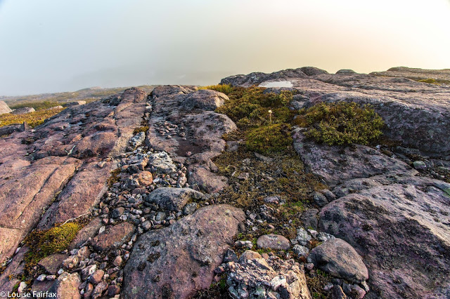
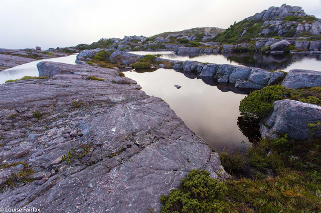
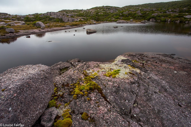
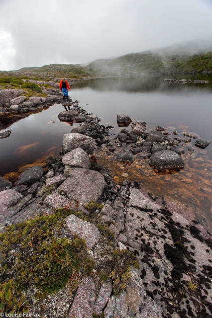
As we had all day to do this, I took us on a scenic Tour des Lacs, ever working our way south. It was glorious. However, even with this stalling tactic, we eventually neared The Bastion – the blockade from last time. I decided to be super-smart and outwit this recalcitrant mountain, and not go near the “summit” that had turned us around, but save my husband a climb by traversing directly to the saddle on contour. Smart, eh? Trouble is, the map doesn’t tell you that the band of green oozing out of The Bastion to the west is a very nasty brand of dark green. It is also lavishly replete with boulders about four metres high with vertical walls and no cracks to get a hold. I lost count of the number of culs-de-sac we landed in. Each time, we had to back out and try again elsewhere, yet elsewhere presented us with an impenetrable wall of bush or more rock. By climbing on top of scoparia bushes – wondering if they would snap and dump us two or three metres below in a pile of prickles and tangles from which we could not be extricated – or doing likewise over the tanglefoot (both treacherously slippery when wet), we managed to inch our way southwards. I was stunned that Bruce managed to keep progressing. I was trying to choose a Bruceable route, but there was not much on offer.
If you assume you’re going to bag a summit with no problems, there is only moderate joy in the dubious accomplishment. You have invested only a little emotional energy in the exercise. Taking Bruce to Geikie, however, nothing was taken for granted, and so we both felt elation sitting up there under that trig. Bruce had done the unexpected (I had thought he’d choose to read a book at camp while I summitted solo), and we were alive to the momentous nature of what he had just done.
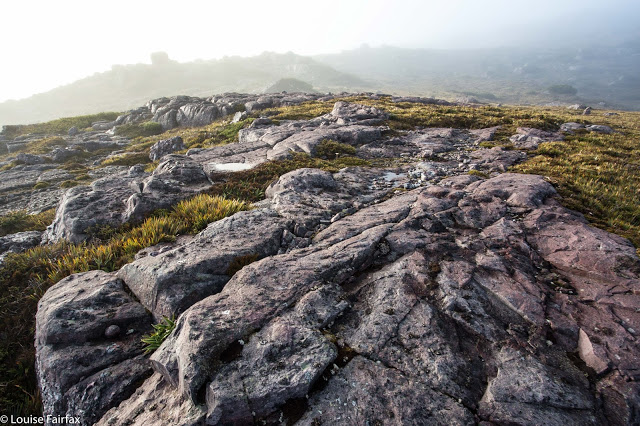
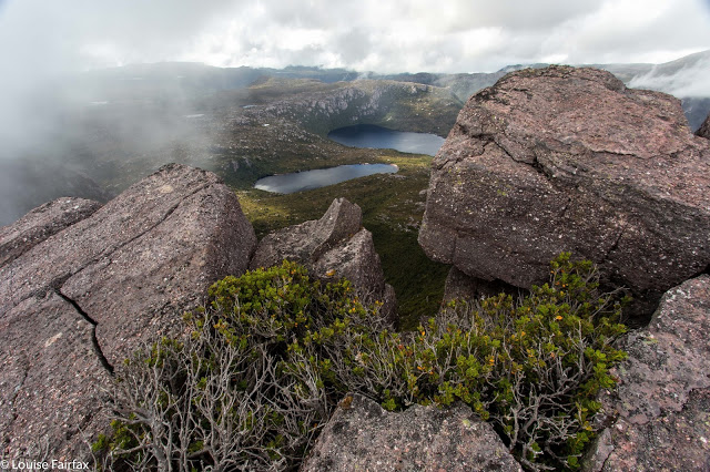
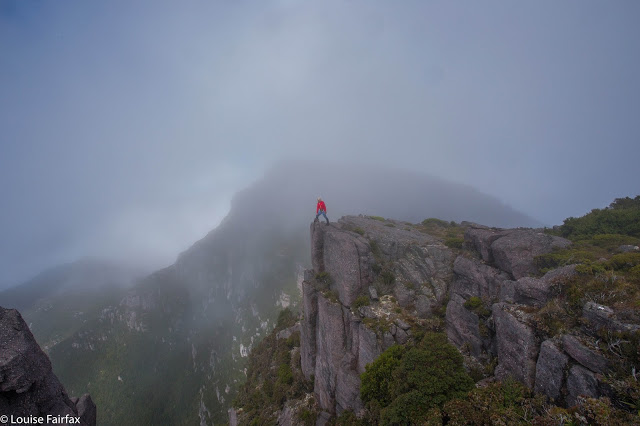
Once on top, the clouds did part for long enough for us to get a partial glimpse of our surroundings.
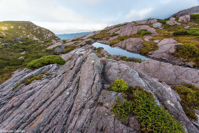
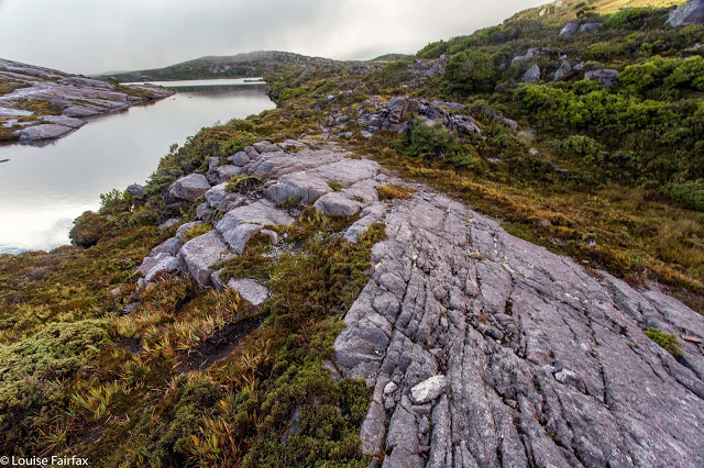
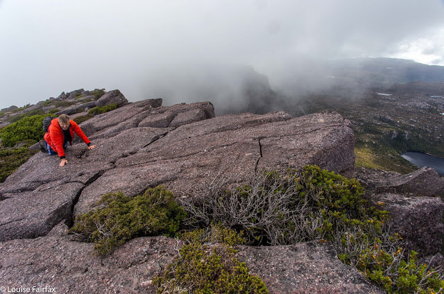
On the return, we did not opt to save contours, but headed straight for The Bastion, skirting only the initial rampart by hugging (literally) the cliffs to the east, eventually going up a chute to the top. I enjoyed this route, but Bruce found it tested his vertigo. This was 45 minutes faster than the outward journey! The rest was Sound of Music walking over glorious alpine gardens, decorated with pink rocky stripes and more fabulous tarns. It had been a day of great (landscape) drama and subtle beauty. As we sat back in camp eating our lunch, the sun came out. We leant back and basked in its warmth, in no hurry to pack up and leave.
Me on The Bastion on the way back, taking a peak over the edge at the cliffs we’d been hugging
We had approached the Tyndalls via the north (Burnie), so I decided to leave via the south, so drove to Queenstown, and then east along the beautiful Lyell Highway to Derwent Bridge, waving hello to my many mountain friends as I went. I have on many occasions spoken about delicious meals had here at the end of expeditions. It was time to let Bruce have this fun too. He was not disappointed. Sated and satisfied, I had to blast us both with opera and sing at the top of my voice the whole way home to prevent falling asleep at the wheel. I am dangerous on a full stomach.

I should have read this blog.
I found an easy route over/past The Bastion to Geikie, but on the way back decided to contour around from the saddle for an “easier” more level path. Hmm.
I ended up heading back up a bit before hitting the worst of the scrub, but over the top is certainly a better choice.