“Na. I’ve got summit angst”, I said as I pressed on. “I promise not to have summit angst on the way back down. We can stop if we see the mountain then.” Poor Mark. We never did see the mountain again, but really, we never did see it the first time either.
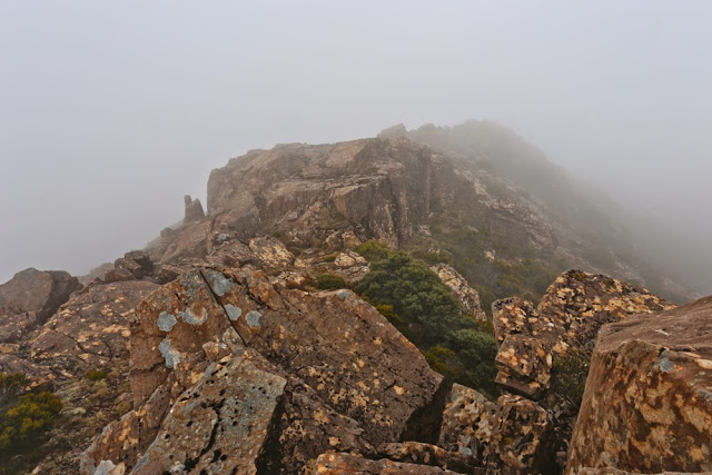
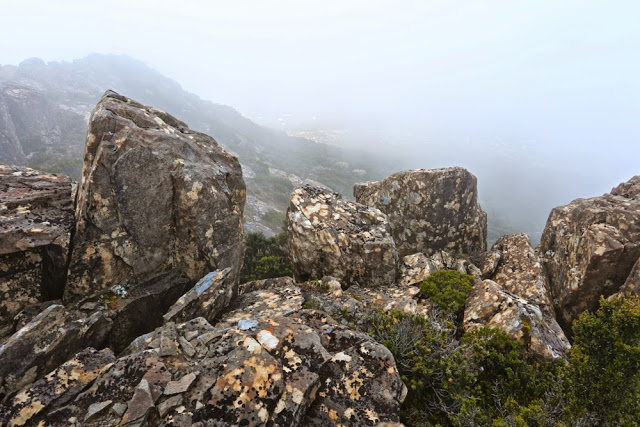
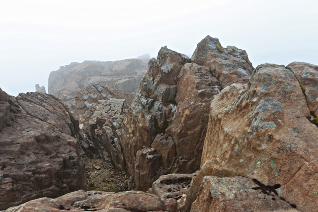
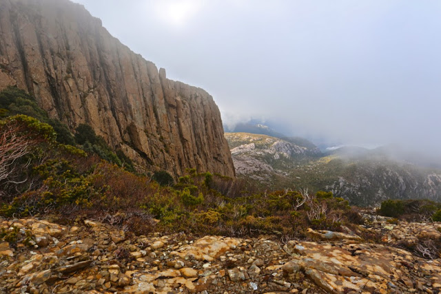
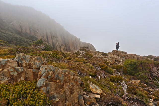
I would love to say that climbing Mt Sedgwick was a case of veni vidi vici. That was certainly our intention. However, the actuality is that the veni bit was very easy; vidi was just about impossible all day; and as for vici … well, after a bit of stuffing around in the first hour, yes, vici took place, but was not at any point assumed before the trig loomed nice and close in the thick mist that enshrouded the mountain that day.
Before I begin, I must say that we are indebted to LWC for doing the spadework of negotiating with John, who drove us through CMT property at Queenstown, and to the General Manager of CMT who allowed it. We wish John the very best of luck in his continuing establishment of a Tour company in the region. It was our intention to attack Sedgwick from the south, and we had permission to do it: a huge bonus. Even with making a couple of errors getting started, and walking an extra 1.3 kms, some of which was in thick bush, we were at the top in three hours’ elapsed time – about 2 hrs 40 walking – and descended, knowing what we were doing, in two hours (walking time, with one photo stop extra).
Unfortunately, I had a few stray waypoints on my map that made it confusing to know where the best point to leave the track and forge a way up the spur was. (On the way back down it was patently obvious.) Things didn’t quite match what we had been led to believe, but once we were on the quite narrow ridgeline, everything fell into place. Then, the only perceived difficulty that could arise was the fact that we could see nothing, so might possibly choose an unsatisfactory route up the top that would land us in a cul-de-sac cliff face. It didn’t happen, but neither of us counted this mountain as bagged until we saw the cairn.
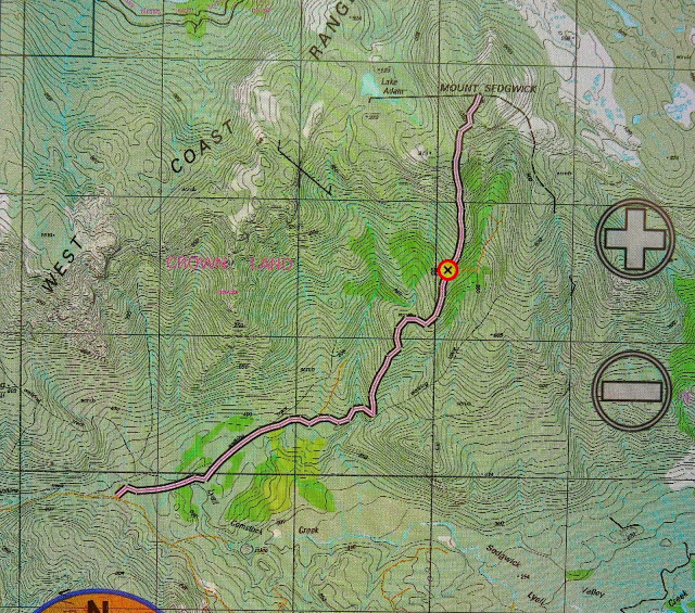
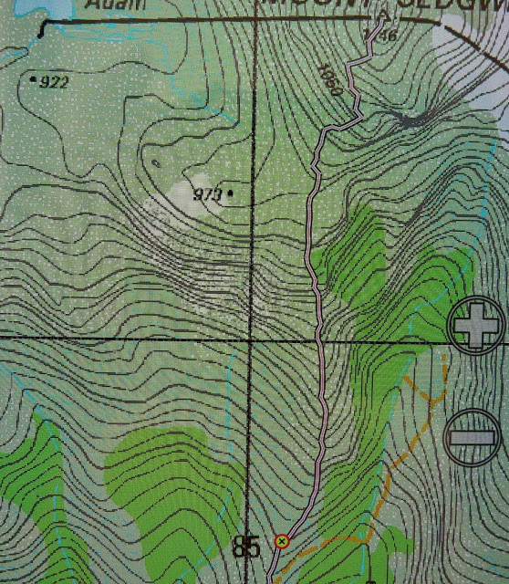
It was very cold on top, and it was a bit early for lunch anyway, so I only ate half a meal so we could get out before even worse weather closed in. The clouds were on the move, and rain was forecast for the afternoon. The wind had gained in force. Down we went, hoping to pick up our route from the ascent pretty quickly. We wavered a bit but then found it, along with a helpful wire that we had found on the way up (forewarned about this by LWC). Once the wire finished, we kept on the point of the spur and the going was pretty good, all things considered. When the bush thickened up further down and the ridge became less defined, we actually found a very old pad, with faded and sun-damaged pink markers, and a definite tread line on the ground. This pad was not quite on the spur, but ever so lightly to its east. We followed it until it emerged onto a road which is not on the map. Below is a map of our descent route. I wiped the ascent one, as it would not be helpful to anyone planning a route.
If you get permission to go this way, head up the spur (north) on the unmapped road. When it finishes, you’ll find a cairn, and to the right (we hung a bit of old pink tape there – if it lasts) you’ll find the narrowest of former pads. Small it may be, but being on it saves heaps of time and bush bashing!! I hope you get the view that we failed to see.


Awesome post.