Mt Young 20 Oct 2014.
I was excited as I put on my suncream; I love that smell, redolant of summer holidays, the beach, excitement and adventure. It seemed as if I hadn’t been on a proper Tassie walk forever. I couldn’t even find a compass, and that’s about as likely hat our place as not being able to find a spoon to eat with.
As I left the house, I joked with my husband: “We need to leave for the airport at 7, so dinner will be at 6. See you at one minute to …. haha.”
It was a beautiful day, as promised. The grass was that magic spring green; little lambs gambolled about, leaping randomly, jumping invisible obstacles and filling me with delight. Ben Lomond was sharply delineated as I continued on past it. I was finding the driving enjoyable and relaxing.
However, I seemed to have used up far too much of my beautiful day, I decided, as I at last reached Mathinna. It was already 11.30. I turned to the north. Checking the map at every turn was a bit bothersome, so I drove on, and checked far too late to see that I was now heading to the Falls instead of travelling on Diggers Road, parallel (sort of), to the one I wanted. Back I went, found my road, did a bit more stopping and checking at intersections this time, and there was the road I wanted, the one that would connect Diggers with Evercreech Rd that led all the way to Mt Young: Symonds Rd. It was surprisingly narrow. I rechecked the map – yes, solid orange, same as the roads I had been on, which meant I could drive on it. Yet it was only just wide enough to take the car, and branches were trying to get in the windows. I’d already seen two black snakes on the road. Now, travelling very slowly, I saw a third. I came to a halt to glare banefully at him. He stared menacingly back, eye to eye and no mistaking it. I was starting to think that the solo bit wasn’t so nice today.
Whenever I’m in a sticky situation like this, I’ve found from experience that the very best thing to do is to sit and eat – preferably some chocolate, but almost anything will do. I grabbed at my lunchpacket and gobbled some of its wares. That felt better. It wouldn’t do to go backing a car on an empty stomach in that kind of terrain.
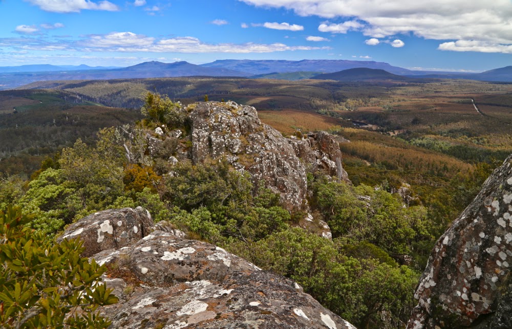
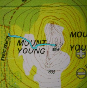
At long last, my mountain, and the goal of this trip, came into view. I wanted to drive until I was due west of it. I now had out the gps as I drove to line up waiting for that point. Going nice and slowly now. Just as I was deciding I was due west, I saw a most heartening and glorious (given my frame of mind at that time) sign – a pink ribbon tied to a tree. That strip of pink ribbon could have been a golden necklace and I wouldn’t have been as happy. I looked at my watch. Time for one hour up, one down. That should do it. I packed my bag and set out.
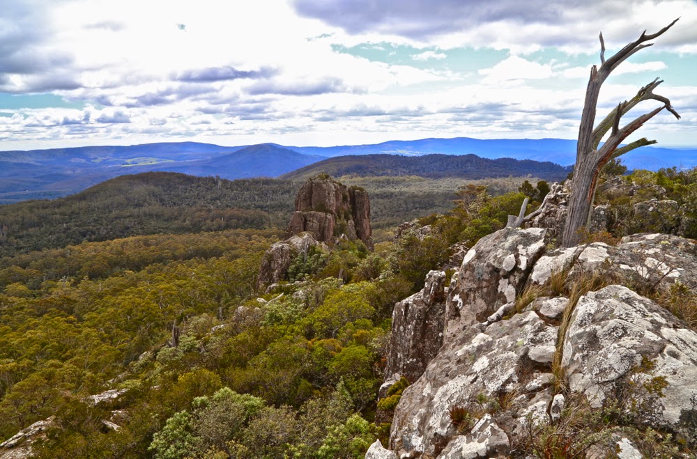
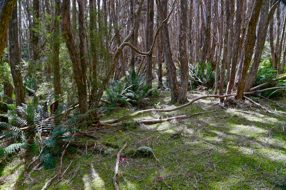
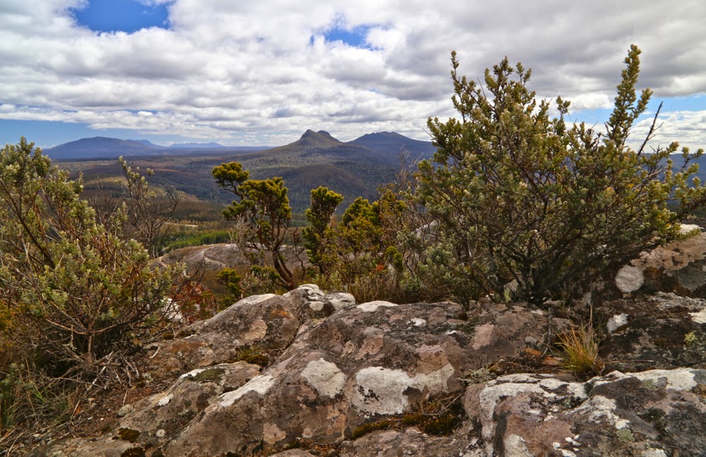
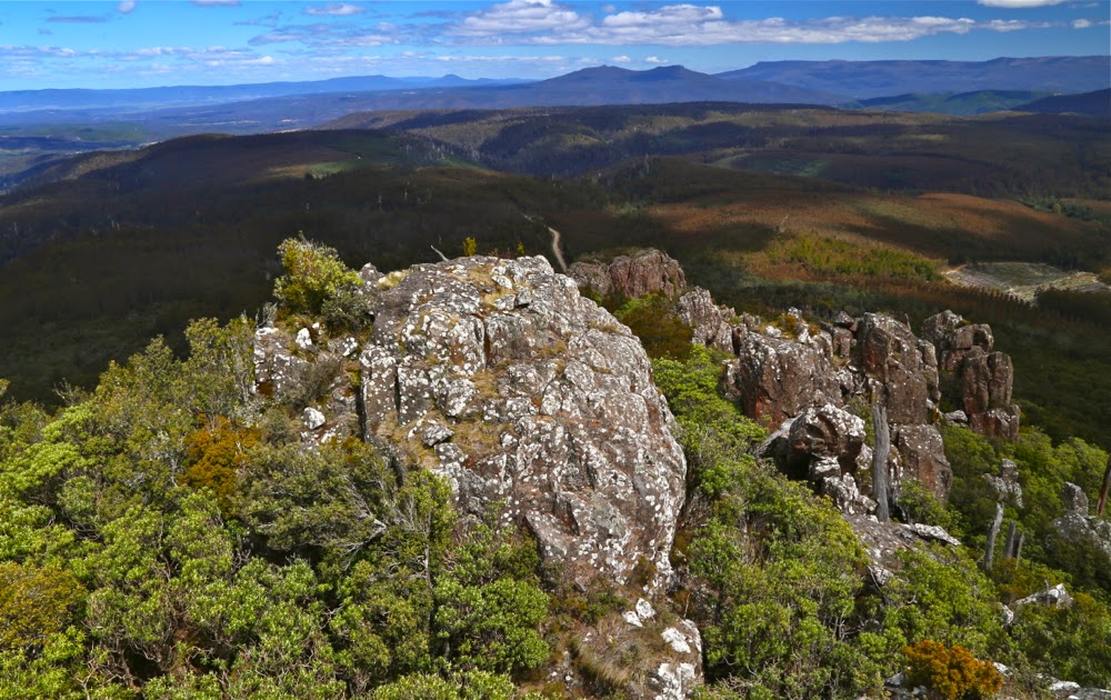
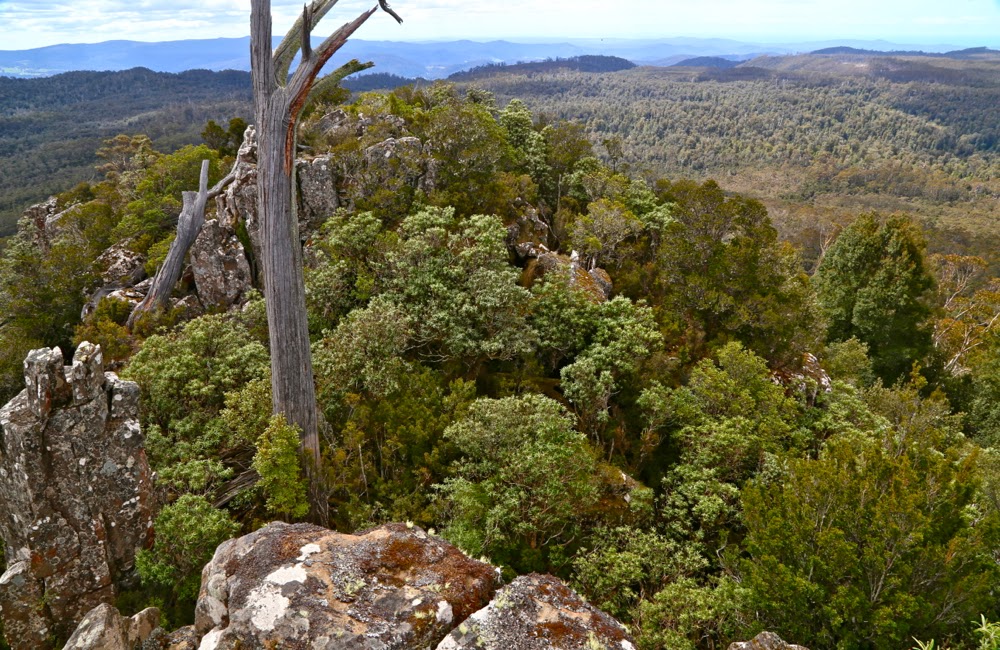
Oh the joy of at last being in the bush after such a stressful and protracted journey. Oh the pleasure of walking through open forest with a green carpet under my feet. I had imagined as I pictured the day in advance, that I would have to bushbash the whole way, and find my own route up through the rocks, but the pink ribbons went on and led me right to the top. Thanks ever so much person /people who put them there. Everything was glorious, I utterly enjoyed the feel of the bush, its smells and its sights … except that in 15 minutes I was standing by the summit trig. That represented a truly shocking drive to walk ratio!!! (17:1).
I arrived home in time to have some berry and almond cake with a cup of tea before throwing some gear in a pack, having a hasty dinner, and driving to the airport, where we ordered citrus tart and cappuccino to try to begin relaxing. I had done almost nothing in terms of physical exercise, but the strain of almost being stuck overnight a very long way from phone range had made me absolutely ravenous.

