Mt Patrick and Penny West
In a creative and explorative mood, I ignored the suggested parking area for Mt Patrick and continued driving northwards to see what would happen. This northwards route took us past our intended mountain (Mt Patrick) to the west (or so the map said – we had not sighted it, but we could see where it should be) and then curled east. When my gps said we were due north of the still invisible mountain we parked and got out all our normal daywalking gear – small pack, water, several snacks, anorak, warm coat, gloves, cameras, thermals in case it got cold, and a little umbrella for photography. Gaiters on, and we were ready to set out over the rocky (not bouldery) ground and into the bushy thickets that lay ahead.
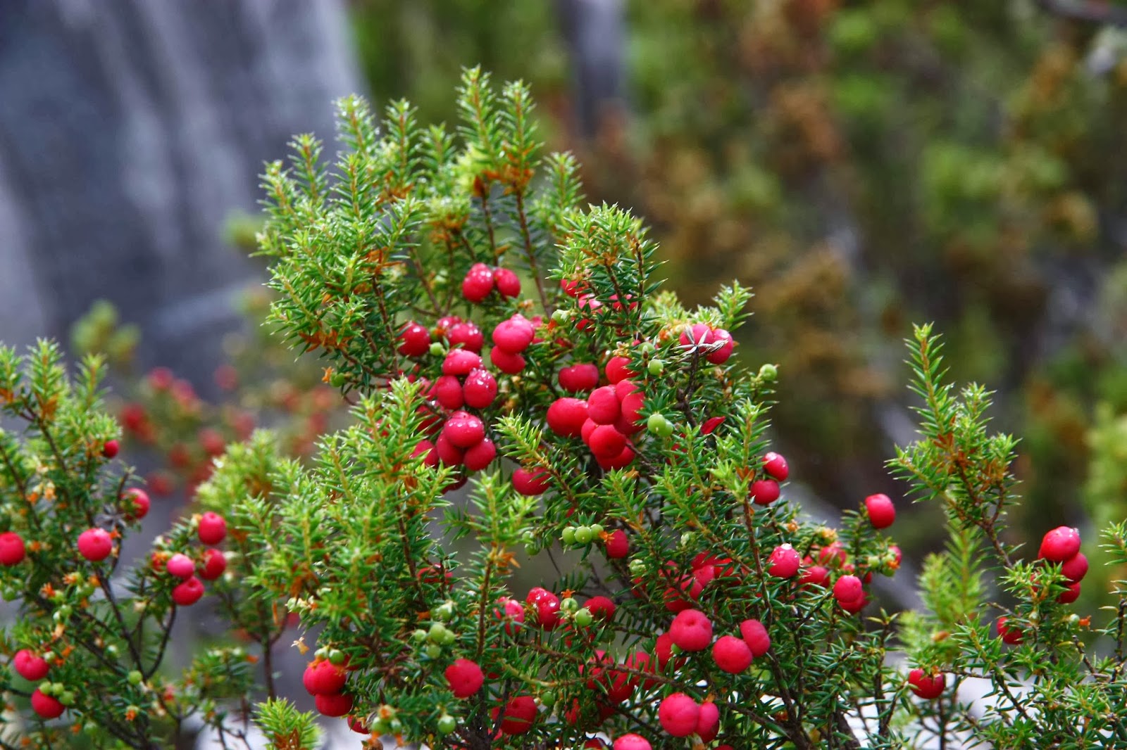
Now, this produced a distressingly short day, and an egregious car to walking ratio, but luckily a friend (Rohan) who knew what we were up to, told me to make sure I took in Mt Penny West while in the area. I hadn’t noticed it on the map at all (which is hardly surprising, as it is off the map, hiding on the next map to the south, just over the edge). Had he not said that, we would have driven home and gone running instead. However, furnished with a photo of the map that he sent me, we parked on the recommended ridge and set out once more to conquer Abel number two for the day. Same gear. This one took us a tad longer than the fifteen minutes the book said, but we were still on top tidily under half an hour. We had not sped through the swathes of Leptecophylla juniperina which is now at the attractive lipstick berry phase – but is always at the ‘ouch’ phase.
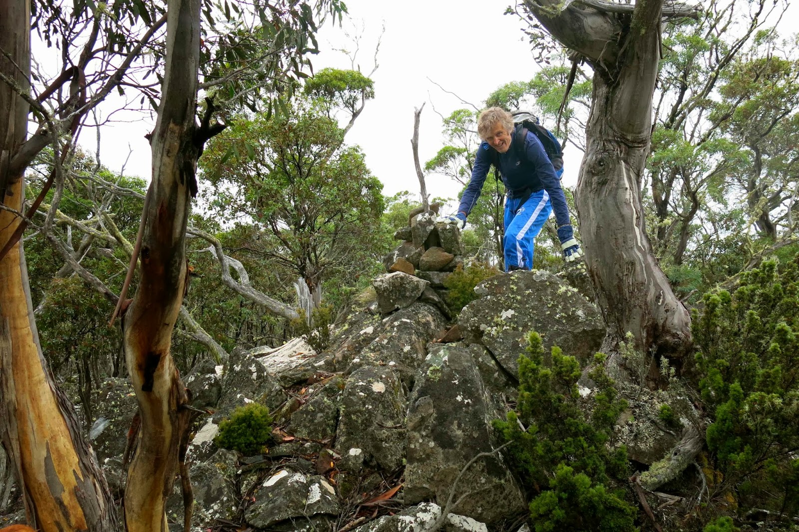
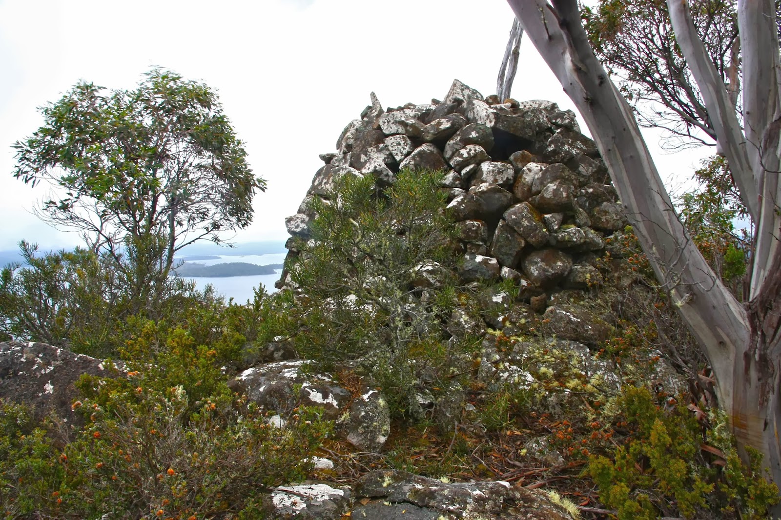
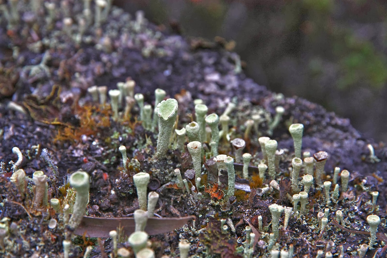
Finished with eating and all packed up, I turned to leave. My husband wasn’t ready, so I swung around the other way to see what he was up to. And there, perfectly camouflaged and hiding in the tree tops of eucalypts that began further down, barely discernible and easily missed, was something that could be a pile of rocks. I squinted and glared. Yes it was. Now I needed to explore it too, as it looked higher than where we were. As I got nearer, I saw it had a “structure” a kind of beehive made of piled rocks. At last, third attempt, we’d found the true summit. I didn’t need more snacks, but we did touch and photograph it before descending. The way back was spiced up by the presence of “pixie cups” lichen, cladonia pleura. It was no faster than the way there. And after that it was full steam ahead for lunch in Longford.

