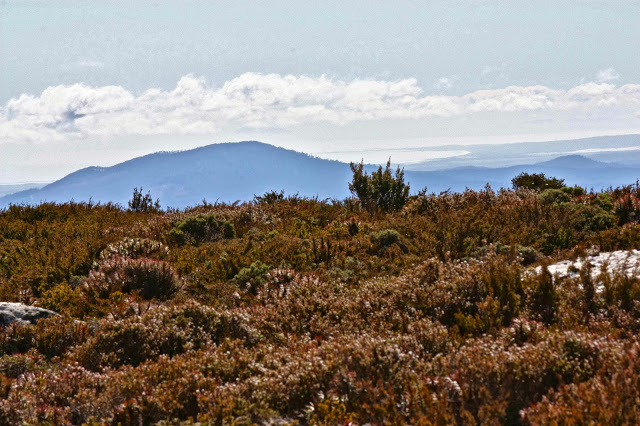
Mt Maurice: the Mystery of the Missing Mountain Sept 2013
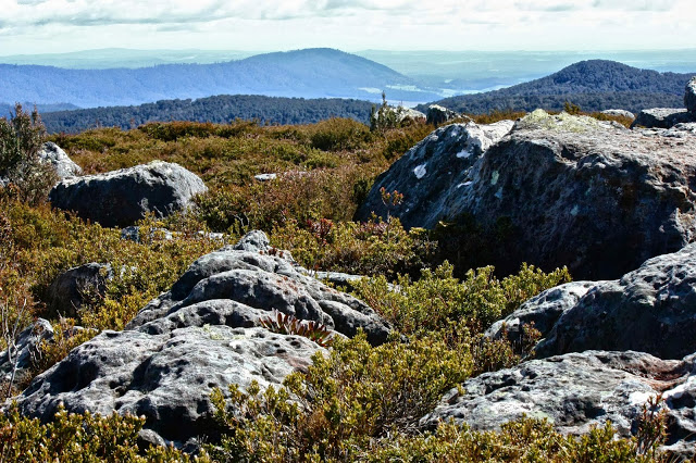
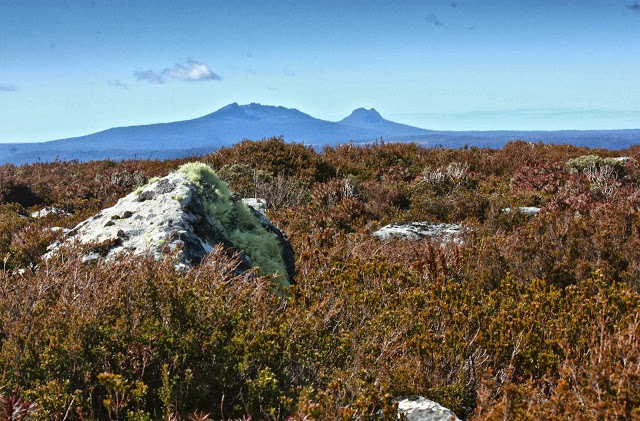 View to Mt Victoria and Mt Albert
Is this the place? Nothing much matched up with the book (Abels Vol 1).
“17 kms along the road”, it said, but was that counting from the Targa (Chapel Hill Rd) or the Diddleum turn off? The book was, alas, ambiguous. (Answer: it was counting from Targa).
The mountain, too, was “ambiguous” – ‘shy’ the book dubbed it. Reclusive, elusive, downright evasive are other possible descriptors. Was there actually a mountain hiding behind those trees? We’d seen no sign of it so far whilst driving.
We hadn’t even been supposed to be on that particular road: there was a nasty “detour” sign that I determinedly ignored, knowing that if a mountain existed, it lay straight ahead. Perhaps Mt Maurice was nothing but an in-joke for the cognoscenti?
I went to the Garden of Love,
And saw what I never had seen:
A Chapel was built in the midst,
Where I used to play on the green.
And the gates of this Chapel were shut,
And “Thou shalt not” writ over the door;
So I turned to the Garden of Love,
That so many sweet flowers bore; And I saw it was filled with graves,
And tombstones where flowers should be;
And Priests in black gowns were walking their rounds,
And binding with briers my joys and desires.
Just substitute “And trucks with their drones felled trees with loud moans” for the second last line and you have a revivified Blake over two hundred years down the track.
So, we marched up this ugly scar feeling the force of “Thou shalt not” and the absence of beauty where it had once flourished, trying not to attend too much to the corpses of trees and the couple of remaining desiccated, dusty imitations of tree ferns that had somehow missed the shove to oblivion.
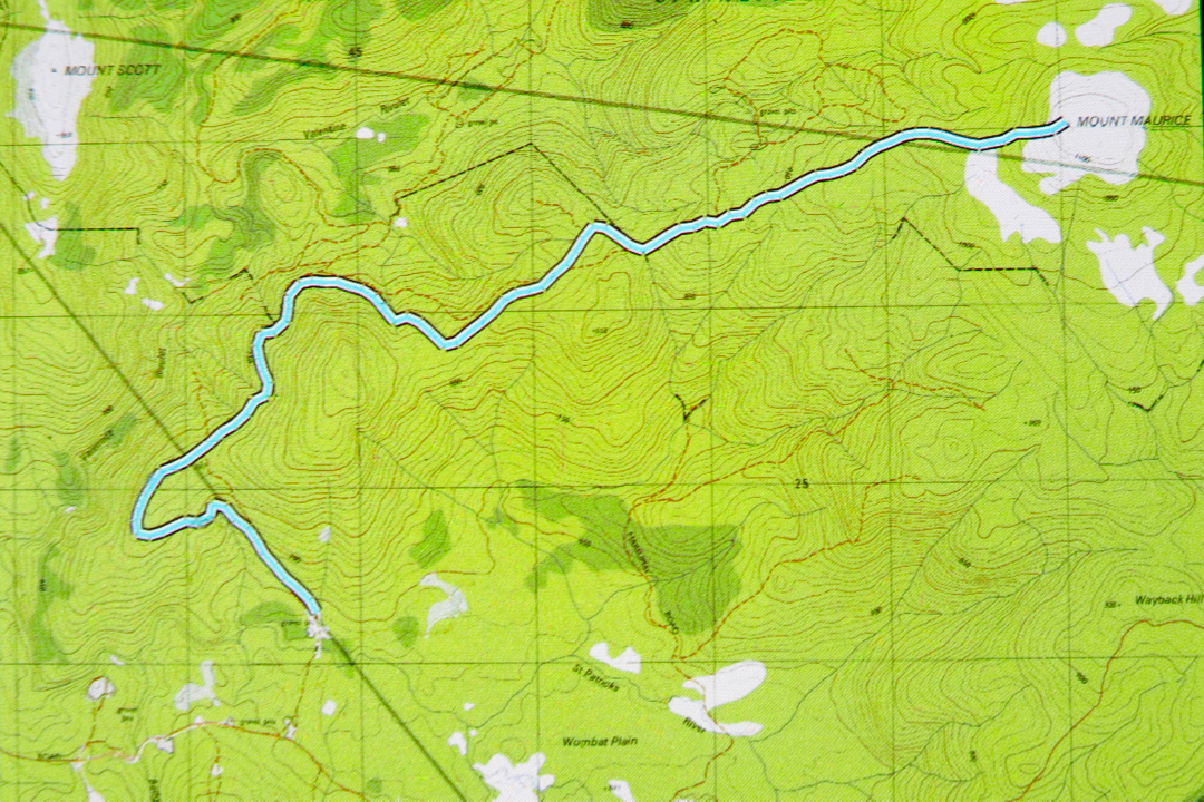
After about 40 mins, I got out my gps to have a check while we walked. This was interesting. We were on a highway that was not on the map, and the road on the map was nowhere to be seen. Hm. (See map/ route below). Better pay careful attention to contours now. They’ve completely changed the forest. Contours roughly in order at this stage, but we were about maybe 400 ms south of where a road should be. I switched map scales, but the next map said the same. Maybe the original drawers of the road had been careless and just stuck in an approximation. Nonetheless, contour-vigilance was required in case this autostrada led to nowhere that I wanted to go.
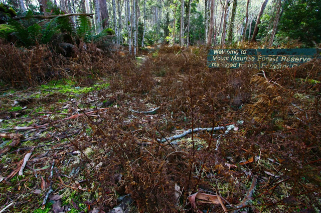
After 58 minutes (putting this in, in case it is helpful), we came to a post with two reflectors on it. No track corresponded to my gps location, but I decided the contours and general direction were good, so we’d take it. Three minutes more, and we found a sign that said: “Welcome”. We just about roared with laughter. I photographed it in case it was the only nice thing we should find this day. We still hadn’t seen any sign of our mountain. This was a real exercise in faith.
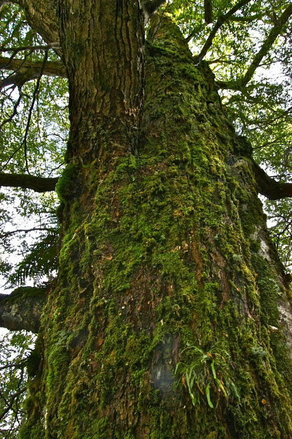
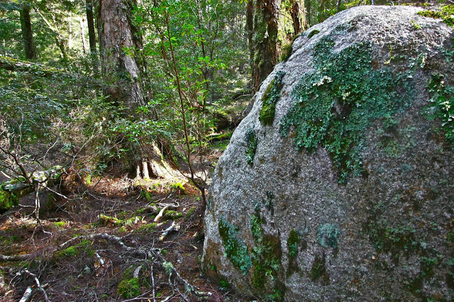
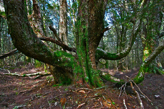
It was so much nicer once we’d left the wide, levelled road. There were now some soft, mossy sections under foot and the myrtle count increased. Birdcalls could be heard for the first time. And we had shade, blissful, soothing shade. Ahhhh. This wonderful section of forest lasted a full twenty five minutes. The trees were huge – tall, wide and stately. Ents watched our progress. Every now and then there were magnificent pink granite tors covered in moss. I delighted in them. The only problems were that we still hadn’t seen a mountain, or even a hint of a mountain, and we also hadn’t found the sort of contours that a mountain has. The map had a little gang of them, huddling together before the summit, and we were just gently easing our way along, only vaguely upwards. Somewhere we needed to encounter and cross contours if we were to climb a mountain.

