Holwell Gorge Falls. May 2018
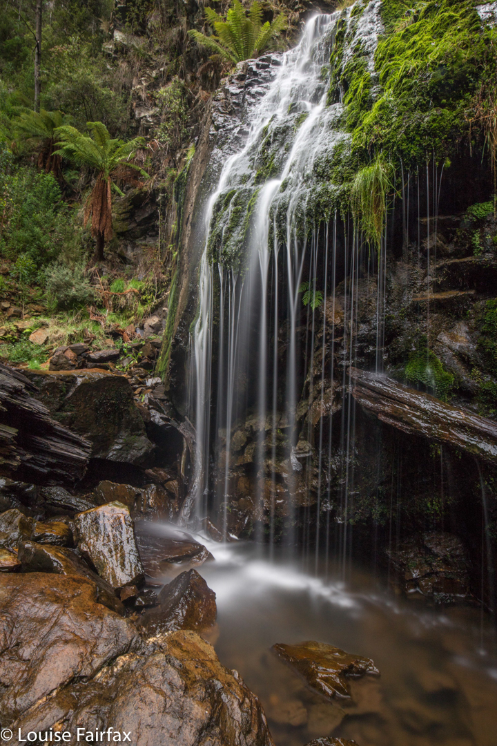
Why would I choose to “attack” the Holwell Gorge Falls from the distant northern end, rather than the closer, easier, southern option? Because I am not interested in “efficiency”, but in beauty, and in “bang for my buck”, or, perhaps more nicely put, a good drive to walk ratio, which tips the scales as much as possible in the direction of walking. I love exercise and walking through magic, lush forests full of fungi beside streams of astonishing clarity. Why on earth would I go for the quick option? In addition, the one time I visited the southern end (just to above the falls), I found that the greater height meant that the forest was dry sclerophyll, and the mosses and fungi I so love down lower were not present.
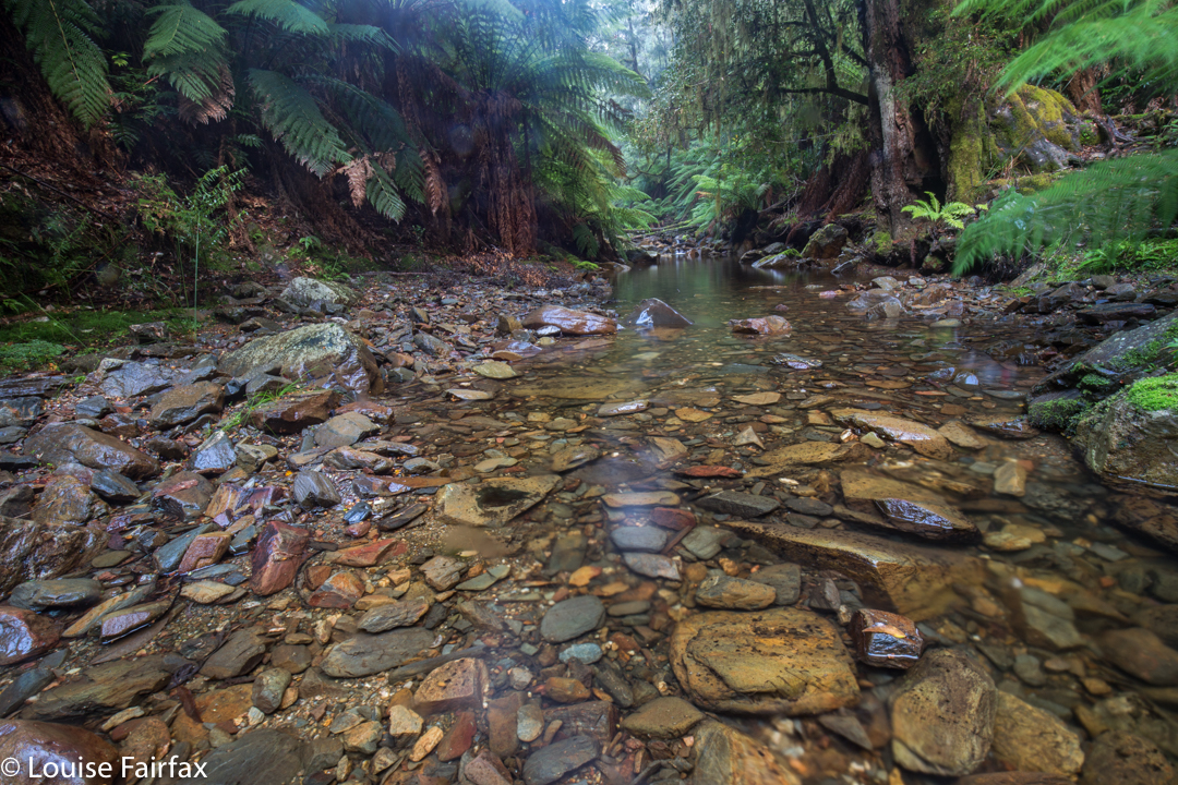
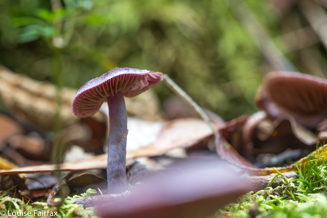
I have wanted to visit the Holwell Gorge Falls for a year now, having visited their northern brother, the Holwell Falls, a year ago. I have been impatiently waiting for enough rain to engender some flow, and for the right opportunity. At last, today, it came. Or, I thought I had a sporting chance, let us say. I knew the early section very well, so marched through it in 11 minutes. Now came a sign that told me the upper falls, the Howell Gorge Falls, were 40 minutes return. DO NOT believe this sign. If you read my blog regularly, you will know that I am not a slow walker. I took 41 mins ONE WAY to reach the upper falls. This sign is very misleading, and it meant that I got very hungry, as I wasn’t expecting to take so long, and if you read this blog, the other thing you will know about me is that I get hungry often and quickly, and get quite desperate for food once hunger hits.

All the dire warnings about needing experience should be reserved for this second section. Once you are past the Holwell Falls, you lose your manicured highway, and encounter a track that can be, at times, downright dangerous. I was climbing over logs that were fat and slippery, and that didn’t always have anything to stop me should I start sliding downwards. I’m sure if you were taller, with longer legs than mine, it might be easier, but I was uncomfortable about being solo on one or two occasions when straddling an overweight, sloping log with nothing to hold on to. There was one section where I even feared for my continued existence, where I had to sidle along a ledge with nothing to hold. The ground under this ledge … did not exist. It was like a tooth with a gaping cavity. I hoped against hope that the unsupported earth wouldn’t collapse under my weight. Whew. I got to the other side; however, on the way back, if you look at my map, I chose to stay in the creek bed rather than trust fate twice running. The odds were too heavily stacked against me.
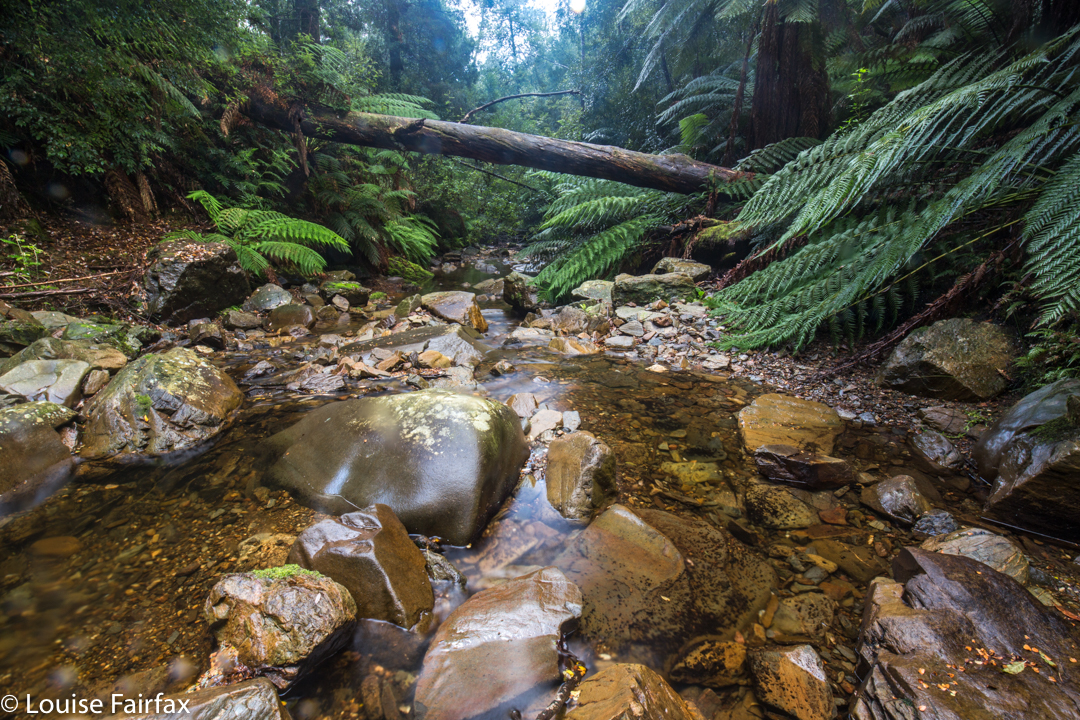
The sign said 40 mins return. Elementary pre-school maths says that means roughly 20 mins in each direction if you walk at “sign speed”, which translates to about 15 or so for me. 15 went by. 20, 25, 30. Had I missed something? I got out the map to check. Na. I still had at least 600 ms to go. Hm. I’d be lucky to do one way in 40, let alone there and back! Panic hunger began. Lunchtime would find me at the waterfall, not at my car. Anyway, the scenery was superb, and the gymnastics needed to make progress, somewhat diverting, so on I pressed. Hundreds of fungi and countless moss and lichen specimens later, I finally arrived. I loved the end result, and took a long time enjoying the area.
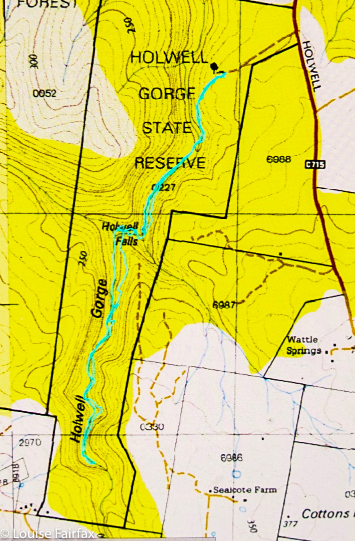
The way back was faster than the way out – a neat, round 40 minutes – as I was rushing, and I knew more what I was doing now I had a modicum of familiarity. I avoided the deadly ledge by staying in the creek, thereby, unfortunately, missing my very favourite fungi that I had saved for the return journey. Oh well. I got back to the car before I fainted from hunger, and drove home in 34 minutes. That makes this the closest waterfall to my house, I believe. I’m so glad it’s so very well worth visiting. Lillydale Falls are possibly not much further, but with only a five-minute walk, they hardly justify the drive.

Awesome Blogpost Thanks for sharing.
I have started clearing the southern end. A lovely track sadly neglected.
A couple of other chaps may help and we will try to make it safer.
Took chainsaw in to fix some logs and removed dangerous loose rocks.
Lovely. Thanks for your commentaries. Makes for an interesting read and very enticing to go visit myself.
I have made the southern end of the walk a bit safer now, and will amend the very misleading time on the sign at the lower cascade.
The through walk should be more pleasant without being a pink tape highway! Some very nice sections of the original track remain. There are several nice swimming pools although somewhat cool just now. Still a few big logs to crawl under to keep wilderness folk happy.