(2) She then stalled three times in the Deloraine carpark after I’d stopped, and a fourth time about a hundred metres down the road. I limped quietly back, abandoned the unfaithful beast, and climbed into a friend’s car. My Kia could remain a problem for the end of the day.
(3) And maybe you think this shouldn’t count, but the scenery was absolutely magic as we sped along the route west out of Deloriaine: white, heavily-frosted grass; a magnificent pure white mist rising above it; photogenic, dark cows peppered here and there to give foreground interest; an indigo Quamby Bluff rising out of all this for grandeur and contrast behind. It was perfect, but I was no longer in my own car, so had to let it go. I still mourn the loss of that “photo that got away”.
(4) I had come armed with my macro lens and was even carrying a light tripod, but it was so cold there were no fungi at all, so my disappointments mounted. Up the track though the rainforest we went, having fun despite all these setbacks.
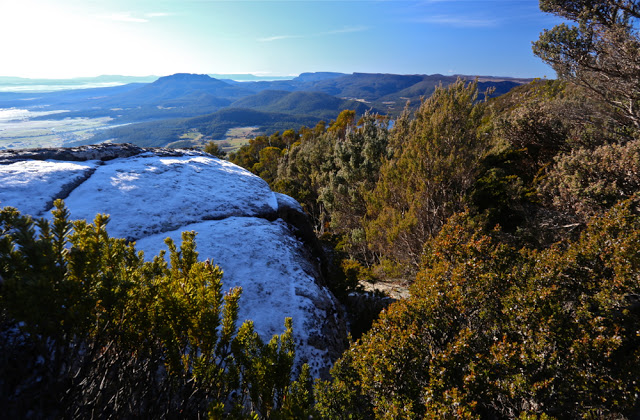
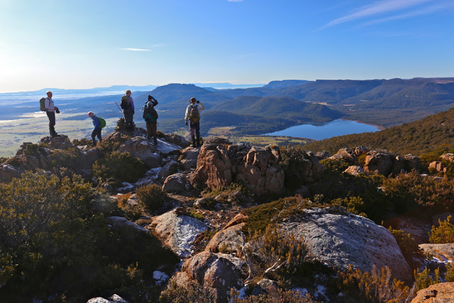
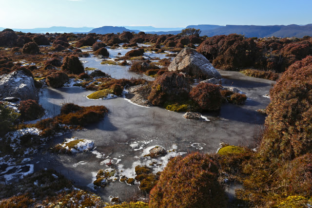
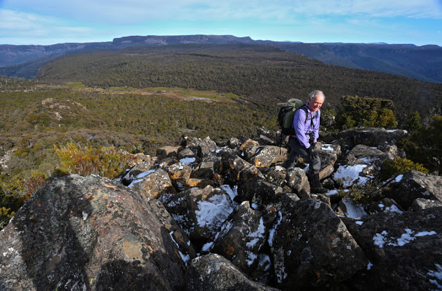
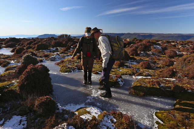
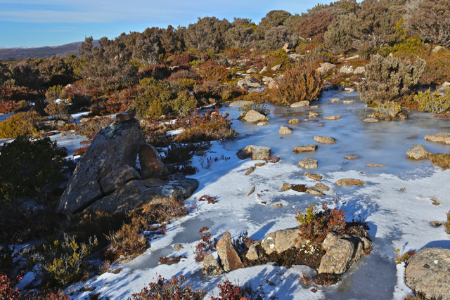
As we crested the plateau at the end of most of the climb, we were treated to a delight, so I decided I needed to do some sort of subtraction on the list above. In that crisp, clear air, all outlines were sharp and beautiful. You could see countless surrounding bluffs and peaks with wonderful clarity. Perhaps even better was the cornucopia of artistically frozen tarns with white rings and stripes, all sparkling in the beautiful sunlight. Changed by the sun fairy into tiny children, we played on the tarns, seeing which ones would take our weight (fortunately, all of them). I changed macro to wide angle, and played away with my camera as well, always happy to be going “click”. The Scotts Road had been an excellent starting point: we were at the top in less than an hour’s walking time (not counting play time). If you count the distractions of beauty, who knows how long it takes? It was so early we couldn’t even have lunch on the summit, and had to wait until the next peak, alas.
Dining on said next lump, listening to banter flying to and fro and enjoying the dramatic drops and cliff lines, soaking up the fugacious rays of warmth piercing bravely through the sharper ambient temperatures, I felt deeply contented. I looked at my watch. The time was good. We were now at the furthest point from the car. The rest of the route looked easy. I would get to work on time despite not having my own car for a quick getaway.
 Unfortunately, disappointment number (5) reared its ugly head as the journey continued and continued, the party making slow progress through the glorious rainforest in the final kilometres of our journey. There was nothing I could do about it, but I became quite distressed, knowing my students would be waiting for me and that I was letting them down. I hate letting anyone down, but especially my students. At least when I finally reached my abandoned car, it started without a murmur (or jump) and bravely sped me to my destination. I dashed into the room of nicely dressed people in my muddy boots, filthy gaiters and torn pants. My students didn’t bat an eyelid, being used to seeing me in odd attire, no doubt. Instead, they greeted me with a hug, glad that I had managed to get there at last, albeit late. I love them all.
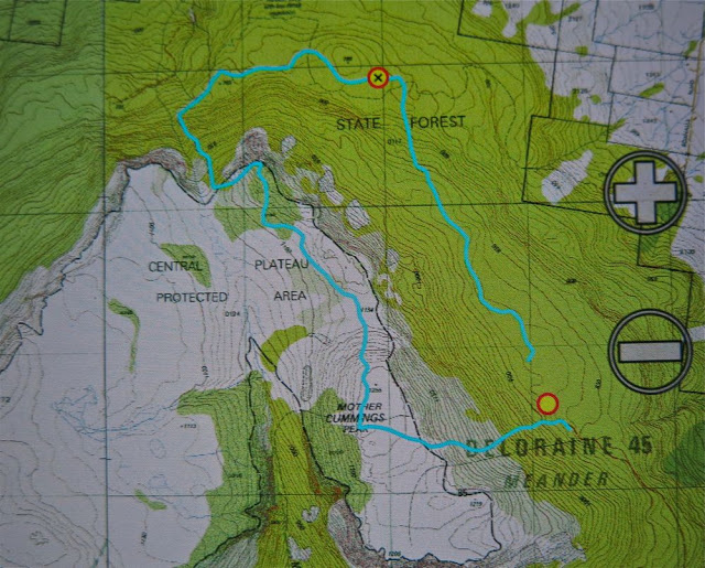
Route notes: via Scotts Rd. From Meander, head south along the Meander Falls Rd until you come to a right hand fork labelled “Scotts Rd”. This leads to the Scotts Rd Lookout (fine view). The end of the road and the start of the track is just beyond that. The bushwalking forum does not discuss this route (not that I could find), and the Tastracks’ offered routes (two of them) do not present this as an alternative: they suggest coming via Smoko Ck (beautiful) or Western Ck – also nice – but this route is fast and efficient, if getting to the top quickly is your intent. Very old maps call the southern, bigger lump “Cummings Head” and the lower, more dramatic northern one “Mother Cummings Peak”. In fact, if you want to say you’ve climbed Mother Cummings Peak and you’re talking to a pedantic peak bagger, then you need to have climbed the southern (higher) one. We climbed both for good measure, but the northern one was for fun – well, they both were, but the northern peak was a “pointless” and “Abel-less” peak, done purely because climbing things is enjoyable, whether or not they’re on someone’s list or worth a point in some motile and relative list of points to be accumulated.
So, we parked at the (Scotts) road’s end and ascended by a clear path to the peak. From there, as you can see, we headed north. There is a path that goes via the valley, but our intent was to avoid dropping that far, and to head cross country and north over higher ground to a point where we eventually joined the valley track as it ascended once more to go to the former summit, now “pointless” (but dramatic and photogenic) hump.
From that northern hump, we descended on a clear track to the east of a stream, as per map, until we hit a road, which we followed to the east, until the waypoint, which is the point at which it stopped. From here, we made our way cross country, consciously gaining contours to reach the obvious shelf, but not climbing it straight up. This was not hard going. If you are doing this route, my advice is to stick near to the steep ground on the right when on this shelf, using it as a navigational handrail, until you intersect the track and follow it left to your car. My route was outvoted by the others, and we spent a lot of time floundering around in flat swamp, knee deep in muck. We saved a bit of distance but lost a lot of time. (My blue lines don’t meet to make it clearer where the car was.)

